Current Use by Public Records
- Land
Property Details for 0 Route H
- Lot size
- 9.10 lot acres
- Property type
- Land
Description
This exceptional 9.1-acre parcel is situated within the burgeoning Cartwright Business & Technology Park in Ashland, Missouri. Located at the strategic intersection of Highway 63 and Route H, this property offers unparalleled access to Columbia Regional Airport, which has experienced a remarkable tenfold increase in passenger traffic over the past decade and is currently planning a new terminal. The Cartwright Business & Technology Park is a master-planned, mixed-use development encompassing over 400 acres, featuring a 20-acre lake and walking trails. This site is zoned API and is ideal for a variety of commercial uses, including office, retail, or industrial development. The park's infrastructure and utility capacity are designed to support large-scale occupancies. While this specific 9.1-acre lot is available for purchase at $910,000, additional office/industrial lots of varying sizes are also available within the park at a price of $100,000 per acre. Development plans are subject to park covenants and owner/landlord approval. The owner/developer is open to both land sales and build-to-suit opportunities. This presents a unique investment opportunity in a rapidly growing area with excellent infrastructure and convenient access to major transportation routes. Seize this chance to establish your business in a thriving commercial hub.
Value Estimations
-
AI approach
-
CAP approach
-
Comparable approach
-
Alternative Use
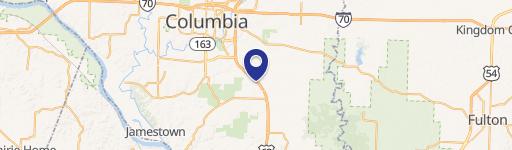
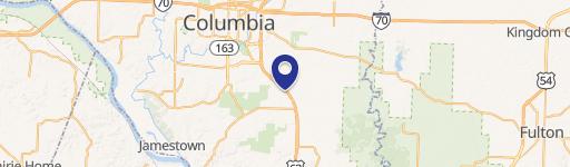
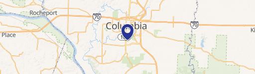
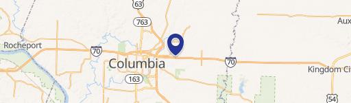
Location Insight
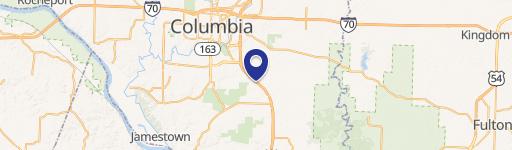
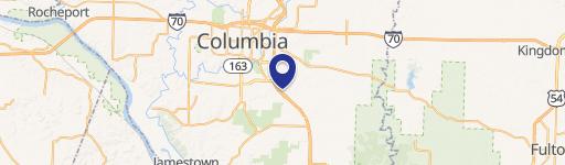
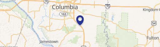
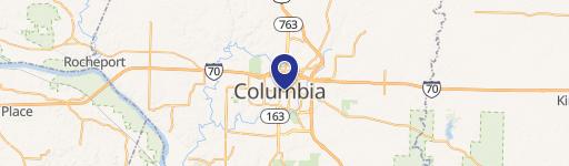
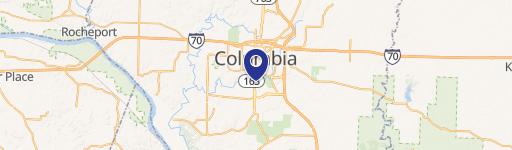
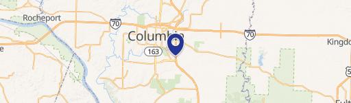
- Map
- Local Demand
- City
- Columbia
- County
- Boone
- State
- Missouri
- Longitude
- -92.2123
- Latitude
- 38.8236