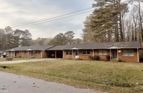
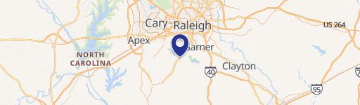
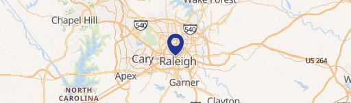
7608 Fayetteville Rd Raleigh, NC 27603
- Commercial real estate
- 12.30 lot acres
Current Use by Public Records
- Commercial real estate
Property Details for 7608 Fayetteville Rd
- Lot size
- 12.30 lot acres
- Property type
- Commercial real estate
Description
This exceptional 12.3-acre parcel presents a remarkable mixed-use development opportunity in Raleigh, North Carolina. Located on Fayetteville Road (US Hwy 401), this property boasts 330 feet of high-visibility road frontage, providing unparalleled exposure. Situated just 1.2 miles north of the I-401/I-540 interchange, it benefits from exceptional accessibility and high traffic volume. The property's zoning is designated Mixed Density Neighborhood Center (MDC), allowing for a diverse range of commercial and residential uses. The gently to strongly sloping topography offers versatile development options. Approximately 7.6 usable acres are located east of the drains, and approximately 3 usable acres are west of the drains. The City of Raleigh provides public utilities, and a planned sewer pump station is proposed. This site is part of a larger development area, with an additional approximately 18 acres available to the south (listed separately), creating a potential total of over 30 acres adjoining and north of a Costco location. The property is located within a designated Opportunity Zone and is surrounded by existing and new residential, retail, and commercial developments. The Garner Future Land Use Map designates this area as a Mixed Density Neighborhood Center (MDC), and it falls within the Town of Garner ETJ. A proposed 75-foot public right-of-way boulevard, running parallel to US 401, will connect this property to the Bennett assemblage to the north and the Costco parking lot to the south, further enhancing its development potential. The Bennett assemblage is currently under its second review. NCDOT has approved developer-installed turn signals for U-turns and left turns at Caddy Road (for southbound 401 traffic) and at an existing U-turn approximately 0.3 miles north of Caddy Road (for northbound 401 traffic). This property offers significant potential for investors seeking a prime location for a mixed-use development project.
Value Estimation
-
CAP approach
-
Comparable approach
-
Alternative Use
Location Insight
- Map
- Local Demand
- City
- Raleigh
- County
- Wake
- State
- North Carolina
- Longitude
- -78.6935792
- Latitude
- 35.66993444