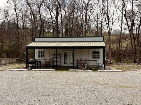
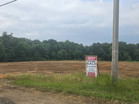
1600 Highway 67 Pocahontas, AR 72455
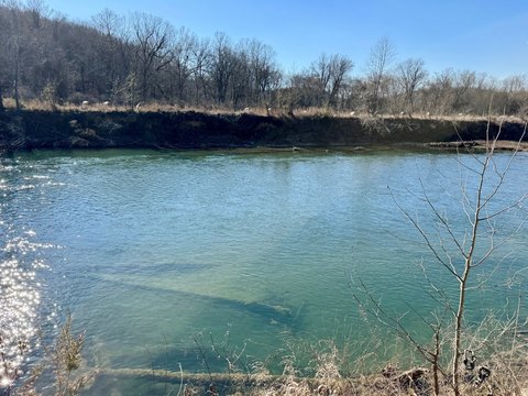
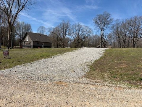
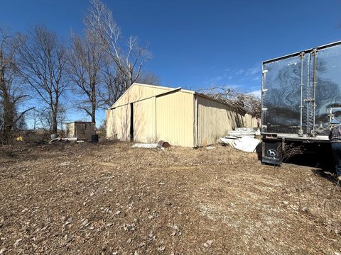
This exceptional 0-unit commercial land parcel, located at 1600 Hwy 67 in Pocahontas, Arkansas, presents a unique investment opportunity. Priced at $210,000, this special-purpose property offers significant potential for a variety of commercial ventures. Situated in Randolph County, AR, zip code 72455, the property's precise coordinates are latitude 36.3021244 and longitude -91.0203224. The land is categorized as "Commercial, Other" and is being offered as a vacant lot, ideal for developers seeking a blank canvas to build their vision. The property's classification as "Special Purpose" suggests its suitability for a range of commercial uses, though specific permitted uses should be verified with the relevant local authorities. Given its location on Highway 67, the property benefits from excellent visibility and accessibility, making it an attractive proposition for businesses seeking high traffic exposure. Prospective buyers are encouraged to conduct their own due diligence to assess the property's suitability for their intended commercial development. This is a rare opportunity to acquire a strategically located commercial land parcel in a growing Arkansas community. The asking price reflects the land's potential and prime location. Serious inquiries are welcome.
Cap rate
Implied · in-place · derived from last sale + estimated NOIValue
AI, CAP & Alternative Use estimations · Realmo proprietary blendComparables
6 recent transactions · within 1.5 miComparable in this City


Similar Nearby for Sale
Property description
Physical attributes from public recordsZoning & alternative use
No recorded transactions found for this property.
Costs & Benchmarks
Operating expenses, capex projections, utility benchmarks, and submarket comparables — all in one view.
Risks
Flood, climate, environmental, title, and tenant-concentration risk — surfaced with mitigations and source citations.


