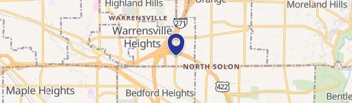
0 Emery Rd Warrensville Heights, OH 44128
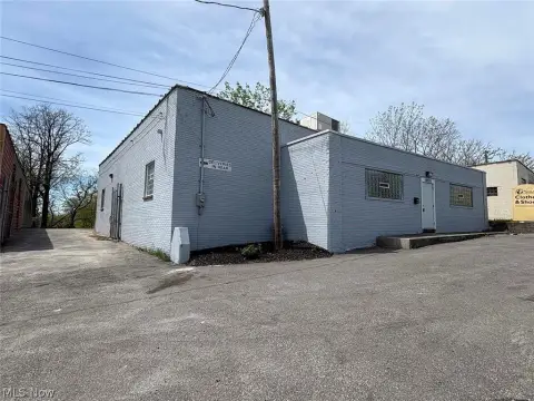
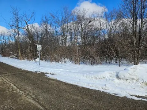
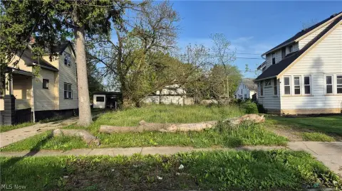
This exceptional 3.68-acre land parcel, identified as APN 763-10-017, presents a prime development opportunity in Warrensville Heights, Ohio. Located on Emery Rd, zip code 44128, this property boasts a Planned Mixed-use development zoning designation, making it ideal for a variety of uses. The site is "shovel ready," eliminating significant pre-development hurdles. Potential uses include light industrial, distribution centers, biotech facilities, office space, medical offices, self-storage, assisted living, and more. The property benefits from excellent highway visibility and convenient access to both I-271 and I-480, ensuring strong logistical advantages. Its strategic location also places it in close proximity to key amenities such as University Hospital Ahuja Medical Center, Cuyahoga County Community College, and the established neighborhoods of Pinecrest and Harvard Park. The potential for tax abatement further enhances the investment appeal of this exceptional property in Cuyahoga County. This is a rare opportunity to acquire a large, well-situated parcel in a thriving area with diverse development possibilities. Don't miss this chance to secure a significant foothold in a rapidly growing market.
Cap rate
Implied · in-place · derived from last sale + estimated NOIValue
AI, CAP & Alternative Use estimations · Realmo proprietary blendComparables
6 recent transactions · within 1.5 miComparable in this City


Similar Nearby for Sale


Similar Nearby for Lease


Property description
Physical attributes from public recordsZoning & alternative use
No recorded transactions found for this property.
Costs & Benchmarks
Operating expenses, capex projections, utility benchmarks, and submarket comparables — all in one view.
Risks
Flood, climate, environmental, title, and tenant-concentration risk — surfaced with mitigations and source citations.


