0 Highway 138 Conyers, GA 30012
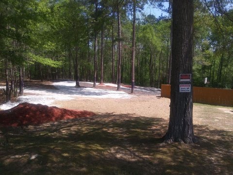
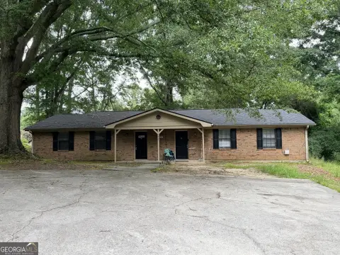
This exceptional 41-acre land parcel, located at 0 Hwy 138 in Conyers, Georgia (zip code 30012), presents a significant investment opportunity priced at $1,640,000. Situated in Rockdale County, this property boasts substantial road frontage along Highway 138 and a county road, strategically positioned at the intersection of Dial Mill Road, Salem Church Road, and Miller Bottom Road. The parcel offers two prominent corners at this key junction, making it uniquely suited for a variety of development projects. The seller is offering the entire 41 acres as a single unit and will not subdivide the land. This location offers convenient access to nearby amenities and is situated in a thriving community, close to schools such as Hightower Trail and other Rockdale County schools. The property's APN is 0850010006. Given its size, location, and potential for both commercial and residential development, this property represents a rare chance to acquire a substantial land holding in a rapidly growing area of Georgia. The property is zoned for both commercial and residential use.
Cap rate
Implied · in-place · derived from last sale + estimated NOIValue
AI, CAP & Alternative Use estimations · Realmo proprietary blendComparables
6 recent transactions · within 1.5 miComparable in this City


Similar Nearby for Sale

Similar Nearby for Lease


Property description
Physical attributes from public recordsZoning & alternative use
No recorded transactions found for this property.
Costs & Benchmarks
Operating expenses, capex projections, utility benchmarks, and submarket comparables — all in one view.
Risks
Flood, climate, environmental, title, and tenant-concentration risk — surfaced with mitigations and source citations.


