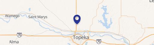
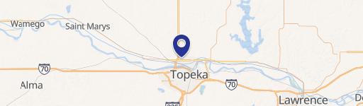
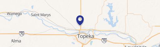
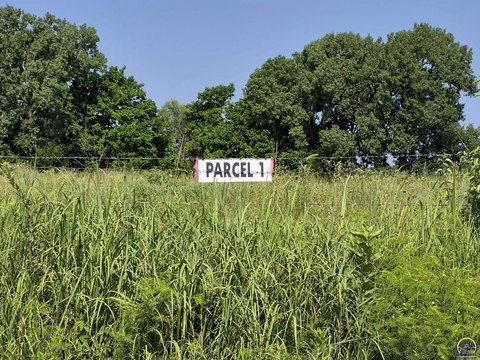
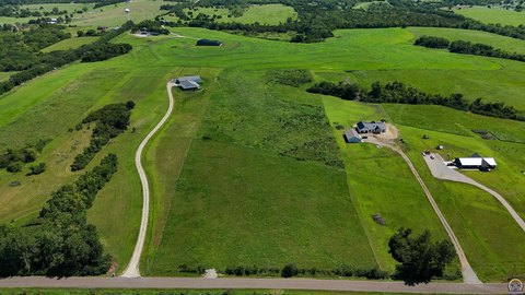
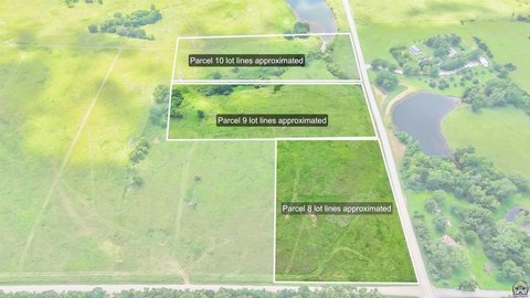
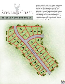
This exceptional commercial land parcel, known as Hunters Ridge, presents a unique investment opportunity in Topeka, Kansas. Strategically located along the busy commercial arteries of Highway 75 and 46th Street, the property boasts strong traffic counts, ensuring high visibility and accessibility for any commercial venture. The lot size ranges from 0.86 to 9.03 acres, offering flexibility for various development plans. The property is zoned for commercial use, providing a clear path for a wide range of businesses. While the surrounding area is primarily residential, this location offers a blend of residential proximity and commercial accessibility, creating a desirable environment for businesses seeking a balance between residential and commercial activity. The property features four convenient points of ingress and egress, facilitating smooth traffic flow and convenient access for customers and employees. This prime location in Shawnee County, with a zip code of 66618, presents a compelling opportunity for developers and investors seeking a high-traffic, commercially zoned land parcel in a growing area of Topeka. The latitude and longitude coordinates are 39.13094360462085 and -95.71435099912898 respectively.
Cap rate
Implied · in-place · derived from last sale + estimated NOIValue
AI, CAP & Alternative Use estimations · Realmo proprietary blendComparables
6 recent transactions · within 1.5 miComparable in this City


Similar Nearby for Sale


Similar Nearby for Lease


Property description
Physical attributes from public recordsZoning & alternative use
No recorded transactions found for this property.
Costs & Benchmarks
Operating expenses, capex projections, utility benchmarks, and submarket comparables — all in one view.
Risks
Flood, climate, environmental, title, and tenant-concentration risk — surfaced with mitigations and source citations.


