Current Use by Public Records
- Land
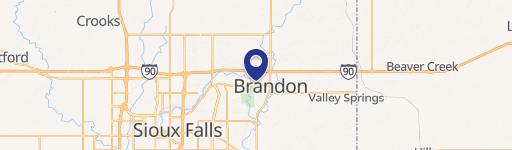
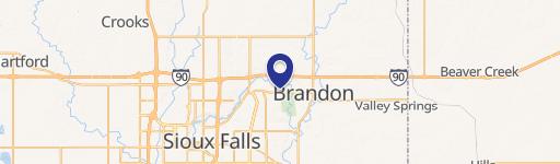
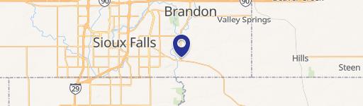
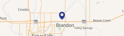
Property Details for 26030 482Nd Ave
- Lot size
- 316.10 lot acres
- Property type
- Land
- Property subtype
- Farms
Description
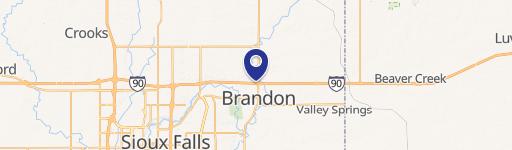
This exceptional 316.1-acre agricultural property in Brandon, South Dakota, presents a significant investment opportunity. Located in Minnehaha County, with a convenient address at 26030 482nd Ave, zip code 57005, this land boasts significant frontage along Highway 11 and I-90, offering excellent accessibility. Currently zoned for agricultural use (Ag), the property includes portions that are both tillable and irrigated, enhancing its potential for diverse farming operations. The asking price is $6,954,200, translating to approximately $22,000 per acre. While portions of the western parcels fall within a floodplain, detailed information is available upon request. The property offers six housing eligibilities, adding further potential for development. It's important to note that Brandon and Minnehaha County share jurisdiction for platting purposes only. This expansive tract of land provides a unique blend of agricultural utility and strategic location, making it an attractive proposition for discerning investors seeking a substantial landholding in a rapidly growing area of South Dakota. The property's latitude and longitude coordinates are 43.61375 and -96.5716875 respectively.
Value Estimations
-
AI approach
-
CAP approach
-
Comparable approach
-
Alternative Use
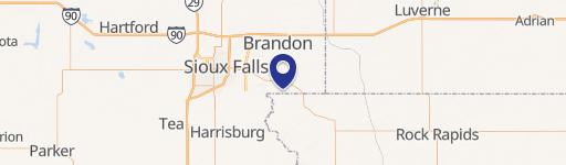
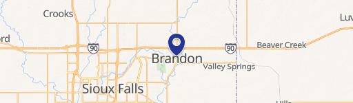
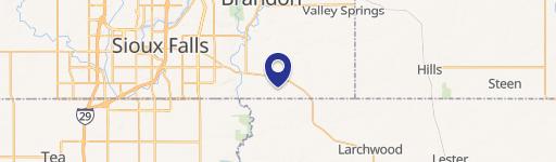
Location Insight
- Map
- Local Demand
- City
- Brandon
- County
- Minnehaha
- State
- South Dakota
- Longitude
- -96.5717
- Latitude
- 43.6138