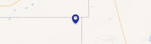
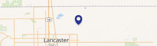
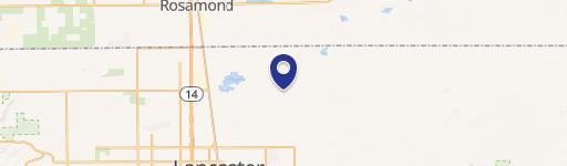
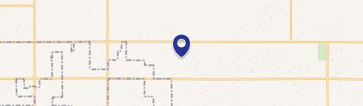
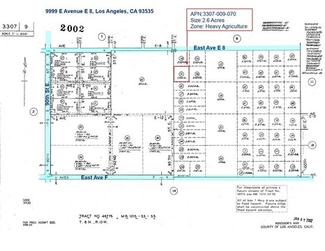
0 215Th St Lancaster, CA 93535
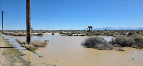
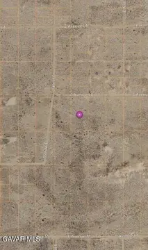
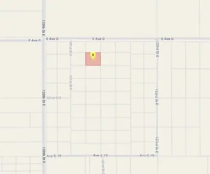
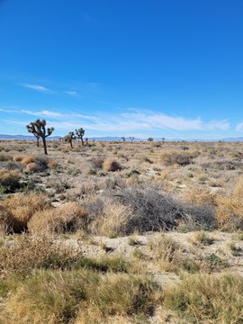
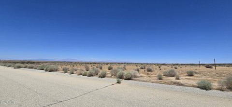
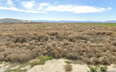
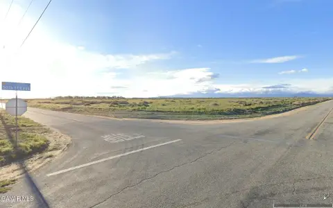
This 10.22-acre parcel in Lancaster, CA (APN 3318-009-006), offers a unique opportunity. Zoned A-2 (Heavy Agriculture), it allows for both agricultural pursuits and single-family residential development. Located near Hi Vista, CA 93535, at Avenue B8 and 215th Street East, the land features a mix of flat and moderately sloped terrain within a rolling desert landscape. Enjoy breathtaking views of the surrounding hills and desert vistas, especially from the higher points on the north end. A seasonal wash crosses the property. The area's surprisingly green brush suggests potentially good groundwater. Situated in the far northeast corner of Los Angeles County, bordering San Bernardino County and near Edwards Air Force Base, this property benefits from the rapid growth of both counties, increasing demand for land for various uses, including agriculture and potential solar projects. Access requires a 4WD vehicle for the final stretch due to the condition of Ave B8. Directions: From the intersection of 200th Street East and Avenue G in Lancaster, head north on 200th Street East for 4 miles, turn right onto Avenue C, east for 1 mile to 210th Street East, then left on 210th Street East for approximately 0.5 miles. Turn right onto Ave B8 and proceed east 0.25 miles to the southwest corner of the property. GPS coordinates: 34.80064, -117.75198. Asking price: $25,000.
Cap rate
Implied · in-place · derived from last sale + estimated NOIValue
AI, CAP & Alternative Use estimations · Realmo proprietary blendComparables
6 recent transactions · within 1.5 miComparable in this City


Similar Nearby for Sale
Similar Nearby for Lease


Property description
Physical attributes from public recordsZoning & alternative use
No recorded transactions found for this property.
Costs & Benchmarks
Operating expenses, capex projections, utility benchmarks, and submarket comparables — all in one view.
Risks
Flood, climate, environmental, title, and tenant-concentration risk — surfaced with mitigations and source citations.


