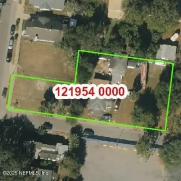
201 Union St Jacksonville, FL 32202
- Commercial real estate
- 1.40 lot acres
Current Use by Public Records
- Commercial real estate
Property Details for 201 Union St
- Lot size
- 1.40 lot acres
- Property type
- Commercial real estate
Description
This exceptional 1.4-acre development site is strategically located in Downtown Jacksonville, Florida, at 201 Union Street W, zip code 32202. Its prime location offers unparalleled access to major transportation arteries, including I-95 and the Arlington Expressway, making it highly attractive for transit-oriented development (TOD) projects. The property's adjacency to the Florida State College of Jacksonville Downtown Campus and First Baptist Church provides a vibrant and established surrounding community. This parcel is uniquely positioned for integration with the existing Skyway station and future autonomous vehicle networks, presenting a significant opportunity for innovative mixed-use development. The site is situated within the Downtown East Tax Increment Financing (TIF) District and the Northbank Community Redevelopment Area (CRA), offering potential access to various economic incentives and development programs. The property is ready for immediate development, presenting a rare opportunity to capitalize on the growth and revitalization of Downtown Jacksonville. While the lease rate is currently undisclosed, serious inquiries are encouraged. This is an exceptional opportunity for developers seeking a high-impact location with strong infrastructure and community connections. The property's size and location make it ideal for a variety of mixed-use projects, catering to the needs of a growing urban population.
Value Estimations
-
AI approach
-
CAP approach
-
Comparable approach
-
Alternative Use
Get a detailed, property-specific valuation — fast and free
Location Insight
- Map
- Local Demand
- City
- Jacksonville
- County
- Duval
- State
- Florida
- Longitude
- -81.6584213
- Latitude
- 30.3331109