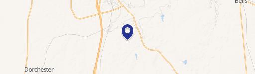
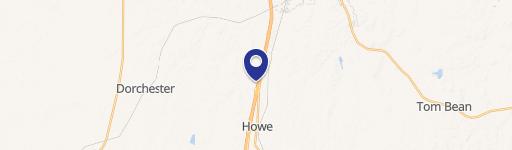
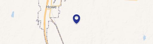
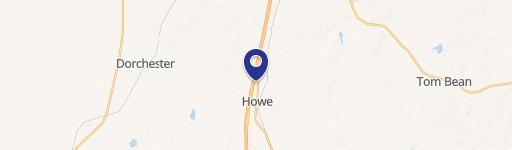
0 Ponderosa Rd Howe, TX 75459
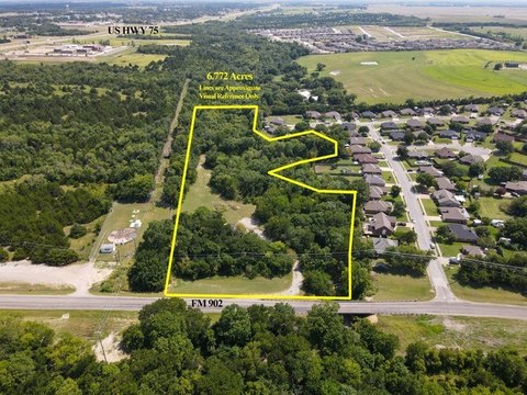
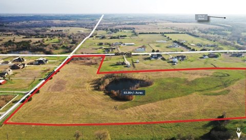
Ponderosa Point presents a unique investment opportunity in Howe, Texas. This 26.5-acre parcel boasts prime commercial frontage along Ponderosa Rd, within Grayson County, zip code 75459. The property is part of a larger, fully entitled Planned Development (PD) encompassing 125 acres designated for a mixed-use development. This development includes retail, multi-family residential (MF), build-to-rent (BTR), and single-family residential (SFR) components, making it Howe's first mixed-use project. The site is strategically located within a thriving $35+ billion tech corridor along US-75, offering excellent accessibility and visibility. Its proximity to Shepherd's Crossing, a 532-acre master-planned community across US-75, further enhances its potential. Currently, two commercial lots are available for sale: Lot 1A, approximately 18.5 acres, and Lot 1B, approximately 8 acres. Permitted uses for the development include a wide range of commercial options, such as grocery stores, retail spaces, hotels, quick-service restaurants (QSR), medical facilities, office buildings, and gas stations. This exceptional location and diverse development potential make Ponderosa Point an attractive proposition for investors seeking a foothold in a rapidly growing area. The property's latitude and longitude coordinates are 33.5219191 and -96.6004773 respectively.
Cap rate
Implied · in-place · derived from last sale + estimated NOIValue
AI, CAP & Alternative Use estimations · Realmo proprietary blendComparables
6 recent transactions · within 1.5 miComparable in this City


Similar Nearby for Sale


Similar Nearby for Lease

Property description
Physical attributes from public recordsZoning & alternative use
No recorded transactions found for this property.
Costs & Benchmarks
Operating expenses, capex projections, utility benchmarks, and submarket comparables — all in one view.
Risks
Flood, climate, environmental, title, and tenant-concentration risk — surfaced with mitigations and source citations.


