0 Dateland Land Tyson, AZ 85347
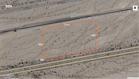
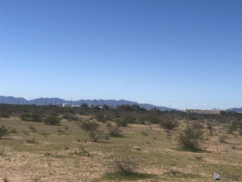
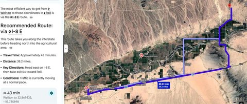
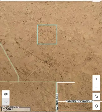
Exceptional investment opportunity: 1,525.08 acres of Arizona farmland, strategically located 10 miles north of Dateland, Arizona, off Dateland Road, north of Interstate 8. This expansive property sits north of the railroad and the Aqua Caliente Dateland Road in Yuma County, within the Lower Gila River Basin. The land benefits from three existing irrigation wells, ensuring consistent water supply. Currently under Arizona State Agricultural Lease Number 01-101167, this lease agreement expires December 18, 2025. The asking price for this substantial land holding is $3,700,000. This presents a unique chance to acquire a significant parcel of productive agricultural land in a desirable location. The property's size and existing infrastructure make it ideal for various agricultural ventures or long-term investment. Detailed lease information is available upon request. The property's address is Dateland Land, Roll, AZ 85347. Coordinates: 32.7735395, -113.8822686.
Cap rate
Implied · in-place · derived from last sale + estimated NOIValue
AI, CAP & Alternative Use estimations · Realmo proprietary blendComparables
6 recent transactions · within 1.5 miComparable in this City


Similar Nearby for Sale

Property description
Physical attributes from public recordsZoning & alternative use
No recorded transactions found for this property.
Costs & Benchmarks
Operating expenses, capex projections, utility benchmarks, and submarket comparables — all in one view.
Risks
Flood, climate, environmental, title, and tenant-concentration risk — surfaced with mitigations and source citations.


