220 Stuarts Draft Hwy Staunton, VA 24401
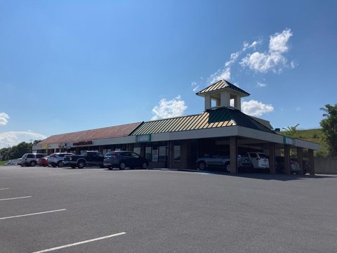
Exceptional 36.59-acre commercial land parcel strategically located at Exit 213 of I-81 and I-64 in Staunton, Virginia (Augusta County, zip code 24401). This high-visibility site boasts a prime location nestled between Route 11 and Route 340, ensuring maximum exposure for any commercial venture. The property benefits from its proximity to major transportation arteries, including the interstate interchange, with convenient access via a signalized light at the Route 11 & 340 intersection. The location is further enhanced by the presence of established businesses nearby, including a Loves Travel Stop, Pilot Station, BP Station, fast-food restaurants, a hotel, and a restaurant. Public water and sewer are readily accessible. The property is zoned GB in Augusta County. The conceptual drawing (available upon request) provides a vision for development possibilities. The listed address is for mapping purposes only; the property is not yet addressed. Asking price: $1,980,000.
Cap rate
Implied · in-place · derived from last sale + estimated NOIValue
AI, CAP & Alternative Use estimations · Realmo proprietary blendComparables
6 recent transactions · within 1.5 miComparable in this City


Similar Nearby for Sale


Similar Nearby for Lease


Property description
Physical attributes from public recordsZoning & alternative use
No recorded transactions found for this property.
Costs & Benchmarks
Operating expenses, capex projections, utility benchmarks, and submarket comparables — all in one view.
Risks
Flood, climate, environmental, title, and tenant-concentration risk — surfaced with mitigations and source citations.


