0 Port Dr Clarkston, WA 99403
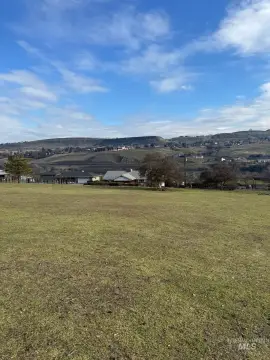
This exceptional 4.59-acre parcel of land, located at Port Dr in Clarkston, WA 99403 (APN: 11320004000100000), presents a unique investment opportunity. Currently zoned for Heavy Industrial use, this property is priced at $1,703,196, translating to $8.50 per square foot. The land is conveniently situated and offers excellent access. Originally part of a larger 6.6-acre tract, 2.1 acres have already been sold, leaving this 4.59-acre lot available for purchase. A recorded short plat is available for review. Recent improvements include the installation of utilities by the seller. The property's strategic location is further enhanced by its proximity to service commercial-zoned parcels on three sides, suggesting potential for synergistic development. This makes it suitable for a variety of heavy industrial uses, including but not limited to warehouse/storage facilities, truck stops, or even a convenience store. The property's coordinates are Latitude 46.422865 and Longitude -117.064663. A drone video is available for viewing. This is a 1031 exchange eligible property.
Cap rate
Implied · in-place · derived from last sale + estimated NOIValue
AI, CAP & Alternative Use estimations · Realmo proprietary blendComparables
6 recent transactions · within 1.5 miComparable in this City


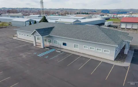
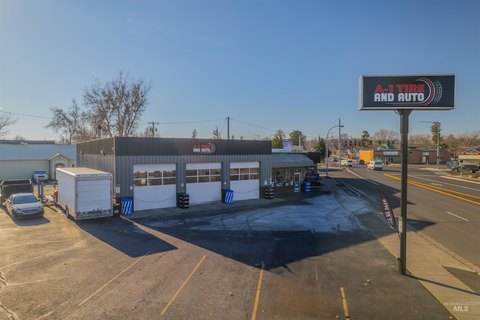
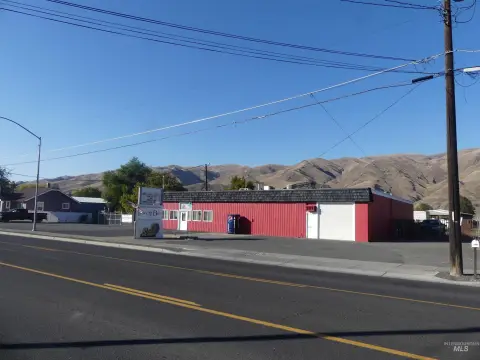
Similar Nearby for Sale


Similar Nearby for Lease


Property description
Physical attributes from public recordsZoning & alternative use
No recorded transactions found for this property.
Costs & Benchmarks
Operating expenses, capex projections, utility benchmarks, and submarket comparables — all in one view.
Risks
Flood, climate, environmental, title, and tenant-concentration risk — surfaced with mitigations and source citations.


