0 0000-24-04N-26W-1-001-00-Sec 24-4-26 Hollis, OK 73550
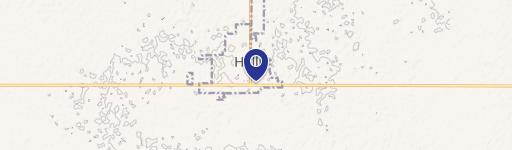
This 160-acre farm in Harmon County, Oklahoma, presents a unique opportunity. Located approximately eight miles north of Hollis, this property sits between the Prairie Dog Town Fork Red River and Salt Fork Red River, offering convenient proximity to Hollis's water works. The land boasts a diverse soil profile, including Devol loamy fine sand (46.87 acres), Springer and Devol loamy sands (43.33 acres), Westola fine sandy loam (20.48 acres), Grandfield loamy sand (18.73 acres), Devol and Springer loamy sands (12.73 acres), Grandmore loamy sand (11.6 acres), and the Hardeman-Southside-Arnett complex (6.68 acres). Currently used for cow grazing, the farm was sprigged with Bermuda grass two years ago. Water is readily available via rural water access and a hand-dug well, ensuring a consistent water supply for livestock. Electricity is also available on-site. Mature trees dot the landscape, enhancing the property's aesthetic appeal and providing shade. County roads border the farm on two sides, ensuring easy accessibility. The stunning views make this property ideal for building a home, offering a blend of agricultural potential and residential tranquility. The asking price for this exceptional property is $320,000. The legal description is 0000-24-04N-26W-1-001-00-SEC 24-4-26 NE, Hollis, OK 73550.
Cap rate
Implied · in-place · derived from last sale + estimated NOIValue
AI, CAP & Alternative Use estimations · Realmo proprietary blendComparables
6 recent transactions · within 1.5 miComparable in this City

Similar Nearby for Sale


Property description
Physical attributes from public recordsZoning & alternative use
No recorded transactions found for this property.
Costs & Benchmarks
Operating expenses, capex projections, utility benchmarks, and submarket comparables — all in one view.
Risks
Flood, climate, environmental, title, and tenant-concentration risk — surfaced with mitigations and source citations.


