Current Use by Public Records
- Land
Property Details for 0 Unnamed Coventry Ln
- Property type
- Land
- Property subtype
- Farms
Description
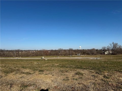
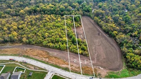
This exceptional 10.6+/- acre property, located on Unnamed Coventry Lane in Raymore, Missouri, presents a unique opportunity for agricultural use or development. The expansive 461,666 square foot lot offers ample space for a variety of ventures. Situated within the desirable Raymore-Peculiar school district, this location boasts convenient access to local amenities while maintaining a tranquil rural setting. The property's blank canvas allows for the realization of ambitious development plans, making it an ideal investment for those seeking to build their dream project. The asking price for this remarkable parcel is $699,000. Its zoning and potential uses should be verified independently with Cass County officials. This property is conveniently located in Raymore, MO, zip code 64083, offering a blend of rural serenity and urban convenience. The latitude and longitude coordinates are 38.7910587, -94.4678564 respectively. Don't miss this chance to acquire a substantial piece of land with significant potential in a thriving Missouri community.
Value Estimations
-
AI approach
-
CAP approach
-
Comparable approach
-
Alternative Use
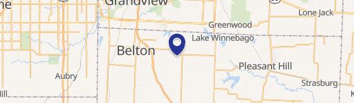
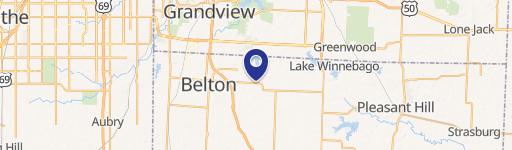
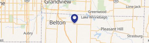
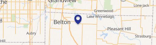
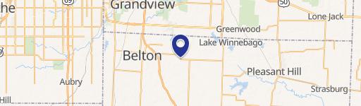
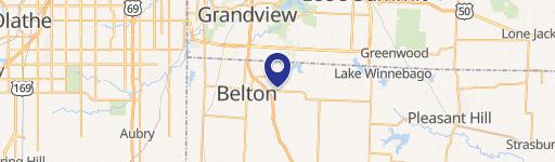
Location Insight
- Map
- Local Demand
- City
- Raymore
- County
- Cass
- State
- Missouri
- Longitude
- -94.4679
- Latitude
- 38.7911