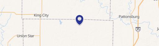
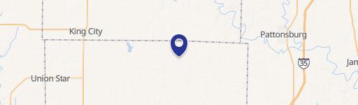
0 R.r D Hwy Maysville, MO 64469
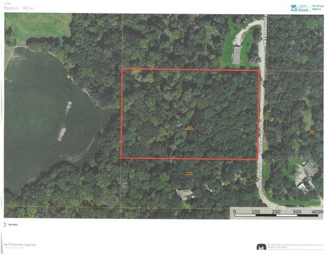
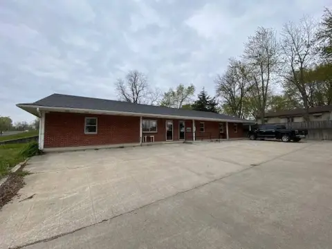
This exceptional 40-acre property in DeKalb County, Missouri, presents a unique investment opportunity. Located on R.R. D Highway, the land boasts convenient access via both blacktop and gravel road frontage. Highly productive, 35.14 acres are designated as crop ground by the FSA, representing an impressive 86% tillable acreage. This includes 6.8 acres of fertile bottom ground. The remaining acreage comprises timber draws, offering privacy, wildlife habitat, and recreational potential. Adding to its appeal, over 26 acres are currently enrolled in the Conservation Reserve Program (CRP), generating an annual income of $4,064 until 2032. Further income is derived from a yearly lease on 6.8 acres of bottom land, yielding $700 annually, for a combined annual income of $4,764. Additional income potential exists through hunting lease options. This versatile property is ideal for farming, hunting, or establishing a rural residence. The asking price is $252,000. This is a rare opportunity in DeKalb County, Missouri, with a 64469 zip code. The property's latitude and longitude coordinates are 39.9406627 and -94.356513 respectively. Maysville is the nearest city.
Cap rate
Implied · in-place · derived from last sale + estimated NOIValue
AI, CAP & Alternative Use estimations · Realmo proprietary blendComparables
6 recent transactions · within 1.5 miComparable in this City


Similar Nearby for Sale

Property description
Physical attributes from public recordsZoning & alternative use
No recorded transactions found for this property.
Costs & Benchmarks
Operating expenses, capex projections, utility benchmarks, and submarket comparables — all in one view.
Risks
Flood, climate, environmental, title, and tenant-concentration risk — surfaced with mitigations and source citations.


