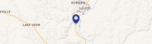
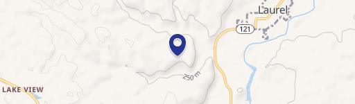
0 Us 52 Laurel, IN 47024
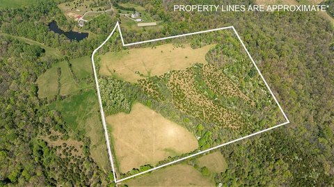
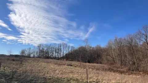
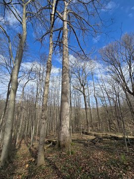
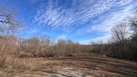
This 36-acre property in Laurel, Indiana (Franklin County, zip code 47024, APN 24-02-33-100-004.000-010) presents a unique investment opportunity. Recently harvested mature timber offers immediate sustainable resource potential, while the land's diverse topography provides multiple buildable sites with panoramic views. Ideal for residential, commercial, or mixed-use development, the property also boasts a well-established trail system perfect for hiking, biking, and horseback riding. The varied terrain and abundant wildlife make it a haven for hunting and recreational activities. This versatile land offers a blend of natural beauty and economic potential, making it attractive to developers, investors, and outdoor enthusiasts. The 2022 property taxes were $108.35. The asking price is $225,000. The legal description is PT w 1/2 ne 33-12-12 54.79a & PT e 1/2 NW w 33-12-12 76.38 (classified forest & wildlands 33-12-12 131.17a). Located near US 52, this property offers strategic access and development potential.
Cap rate
Implied · in-place · derived from last sale + estimated NOIValue
AI, CAP & Alternative Use estimations · Realmo proprietary blendComparables
6 recent transactions · within 1.5 miComparable in this City


Similar Nearby for Sale


Property description
Physical attributes from public recordsZoning & alternative use
No recorded transactions found for this property.
Costs & Benchmarks
Operating expenses, capex projections, utility benchmarks, and submarket comparables — all in one view.
Risks
Flood, climate, environmental, title, and tenant-concentration risk — surfaced with mitigations and source citations.


