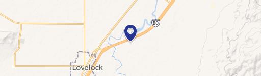
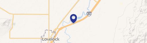
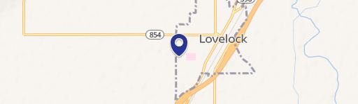
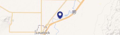
0 Airport Rd Lovelock, NV 89419
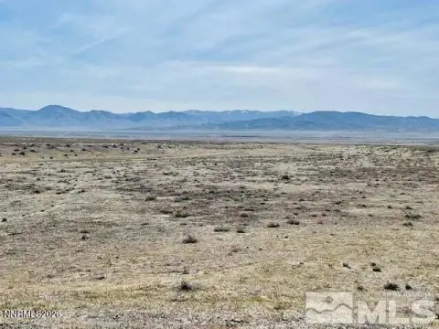
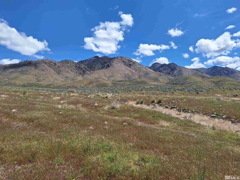
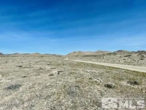
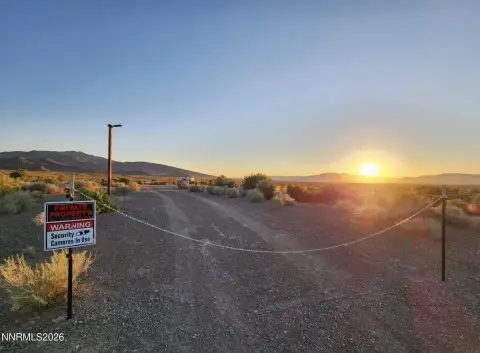
This exceptional 40.79-acre parcel in Lovelock, Nevada, presents a remarkable opportunity for residential development. Located between Airport Road and Reservoir Road, the property boasts High Density Suburban (HDS) zoning within Pershing County. This zoning allows for a minimum lot size of 10,000 square feet and a maximum density of four homes per acre, offering significant potential for subdivision. A municipal water main conveniently runs along the western edge of the property, and three-phase power is readily accessible nearby. Access is facilitated by recorded road and utility easements from both the north and south. The land offers breathtaking panoramic views of the western mountains, including the iconic Lovelock "L". The property's Assessed Parcel Number (APN) is 007-601-10. Buyers are responsible for conducting their own due diligence to verify development potential. Detailed directions are available: From I-80 exit 106, proceed west on Main Street, turn right at the stoplight onto Cornell Avenue, continue straight for 2.3 miles (becoming Airport Road), turn left after the cattle guard, and travel north 0.2 miles
Cap rate
Implied · in-place · derived from last sale + estimated NOIValue
AI, CAP & Alternative Use estimations · Realmo proprietary blendComparables
6 recent transactions · within 1.5 miComparable in this City

Similar Nearby for Sale


Property description
Physical attributes from public recordsZoning & alternative use
No recorded transactions found for this property.
Costs & Benchmarks
Operating expenses, capex projections, utility benchmarks, and submarket comparables — all in one view.
Risks
Flood, climate, environmental, title, and tenant-concentration risk — surfaced with mitigations and source citations.


