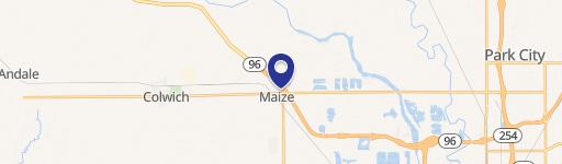
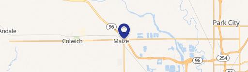
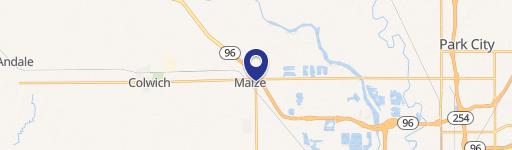
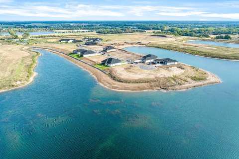
0 53Rd St Maize, KS 67101
This exceptional 44.62-acre parcel presents a unique opportunity for investors and developers. Situated in Sedgwick County, Kansas, with a Wichita mailing address and zip code 67101, this agricultural land boasts significant potential for either residential or commercial development. The property is conveniently located near West 53rd Street North, providing easy access to Highway K-96, a major thoroughfare. Traffic counts reveal 5,255 vehicles per day on 53rd Street North and a substantial 12,000 vehicles per day on Highway K-96, indicating high visibility and accessibility. The surrounding area demonstrates strong demographics, with a population of 39,028 within a 5-mile radius, an average household income of $103,098, a median age of 38.6, and a total of 12,010 employed individuals within the same radius. Furthermore, the property falls within the USD 266 Maize School District. This strategic location, coupled with the substantial acreage and favorable demographics, makes this property an attractive investment for those seeking a prime development site in a thriving Kansas community. The property's latitude and longitude coordinates are 37.780459802223454 and -97.47461515518215 respectively.
Cap rate
Implied · in-place · derived from last sale + estimated NOIValue
AI, CAP & Alternative Use estimations · Realmo proprietary blendComparables
6 recent transactions · within 1.5 miComparable in this City


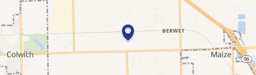
Similar Nearby for Sale


Property description
Physical attributes from public recordsZoning & alternative use
No recorded transactions found for this property.
Costs & Benchmarks
Operating expenses, capex projections, utility benchmarks, and submarket comparables — all in one view.
Risks
Flood, climate, environmental, title, and tenant-concentration risk — surfaced with mitigations and source citations.


