
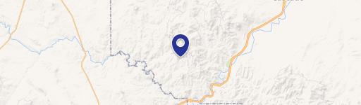
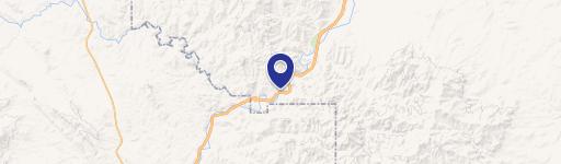
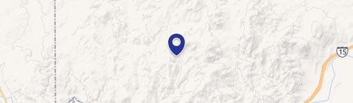
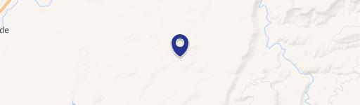
64 Hideaway Ln, Cascade, MT 59421
This exceptional 26.96-acre commercial land parcel in Cascade, Montana, presents a unique investment opportunity. Located on Tract 64 Hideaway Lane, this property boasts convenient access to 640 acres of state-owned land via an existing grazing lease, which the current owner is prepared to assist in transferring. The property's strategic location offers proximity to both the Missouri and Dearborn Rivers, providing a tranquil, secluded setting while still maintaining accessibility. A well-established driveway leads to the top of the property, where the state land begins. The land itself features several potential building sites, making it ideal for a variety of commercial ventures. Paul Creek forms the eastern boundary, offering approximately 227 feet of frontage. The property is off-grid, providing a unique opportunity for self-sufficient development. Ownership also includes access to Shoquist Park, adding recreational value. The property is listed at $350,000 and is situated in Cascade County, Montana, zip code 59421. Coordinates are 47.1846553 latitude and -111.9127369 longitude. This is a rare chance to acquire a substantial land holding in a desirable Montana location.
Cap rate
Implied · in-place · derived from last sale + estimated NOIValue
AI, CAP & Alternative Use estimations · Realmo proprietary blendComparables
6 recent transactions · within 1.5 miComparable in this City

Similar Nearby for Sale


Property description
Physical attributes from public recordsZoning & alternative use
No recorded transactions found for this property.
Costs & Benchmarks
Operating expenses, capex projections, utility benchmarks, and submarket comparables — all in one view.
Risks
Flood, climate, environmental, title, and tenant-concentration risk — surfaced with mitigations and source citations.


