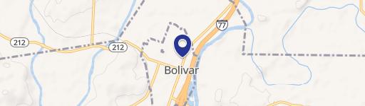
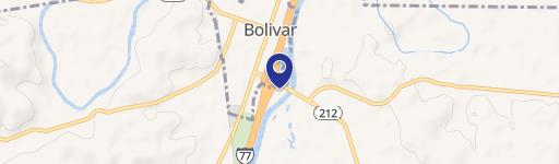
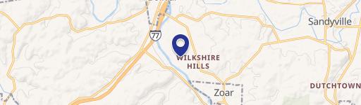
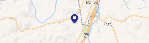
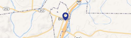
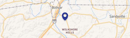
State Route 212 Bolivar, OH 44612
Property profile & analytics
Location Intelligence
Current Use by Public Records
- Land
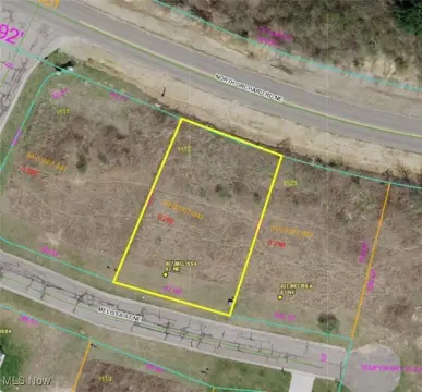
Property Details for 0 State Route 212
- Lot size
- 1.40 lot acres
- Property type
- Land
Description
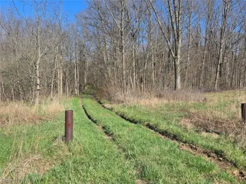
This exceptional 1.4-acre commercial lot presents a remarkable investment opportunity in Bolivar, Ohio. Strategically located on State Route 212, the property boasts over 200 feet of prominent road frontage, ensuring excellent visibility and accessibility for any business. Its convenient location offers easy access to Interstate 77, a major transportation artery, enhancing its appeal to a wide range of potential tenants or developers. The relatively flat terrain simplifies development and construction planning. The property's zoning (not specified) should be verified with Tuscarawas County officials to confirm suitability for your intended use. This is a rare opportunity to acquire a sizable commercial parcel in a growing area. An additional 1.1-acre corner lot is also available for purchase at a separate price, providing potential for expansion or a combined development project. The asking price for this 1.4-acre lot is $149,900. Serious inquiries are encouraged to explore this promising commercial real estate prospect. The property is situated in Bolivar, Ohio, zip code 44612, within Tuscarawas County. Coordinates are 40.6248959 latitude and -81.4345697 longitude.
Value Estimations
based on Realmo’s proprietary methodology
-
AI approach
-
CAP approach
-
Comparable approach
-
Alternative Use
Location Insight
- Map
- Local Demand
- City
- Bolivar
- County
- Tuscarawas
- State
- Ohio
- Longitude
- -81.4346
- Latitude
- 40.6249