Cal Cam Line Rd Lake Charles, LA 70607
Property profile & analytics
Location Intelligence
Current Use by Public Records
- Land
Property Details for 0 Cal Cam Line Rd
- Lot size
- 35.55 lot acres
- Property type
- Land
Description
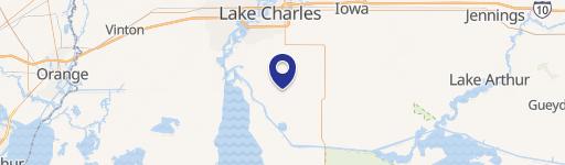
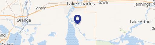
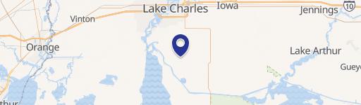
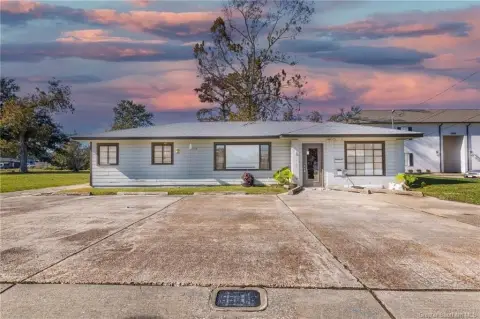
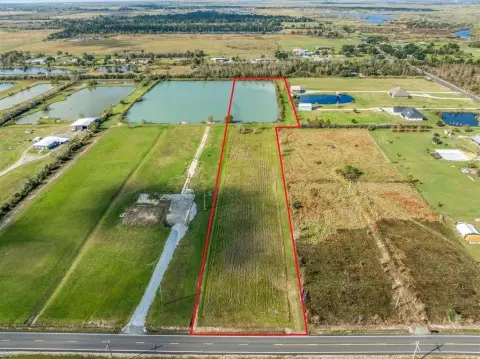
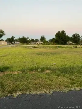
This exceptional 35.55-acre parcel of land is located in the Lanier Mini Farms Subdivision in Lake Charles, Louisiana, and is zoned for Agricultural use (AG). The property, situated on Cal Cam Line Rd, zip code 70607, presents a unique opportunity for residential development. Its expansive size offers significant potential for various projects, from single-family homes to larger-scale residential communities. The land is currently vacant and has been resubdivided, simplifying the development process. The asking price for this substantial property is $426,600. Given its size and location in Lake Charles, this land represents a compelling investment opportunity for those seeking a significant residential landholding in a desirable Louisiana location. The property's coordinates are 30.051754369413718 latitude and -93.24614742881832 longitude. Buyers are responsible for conducting their own due diligence regarding zoning regulations and development possibilities. This is a rare opportunity to acquire a large tract of land in a growing area.
Value Estimations
based on Realmo’s proprietary methodology
-
AI approach
-
CAP approach
-
Comparable approach
-
Alternative Use
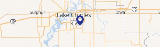
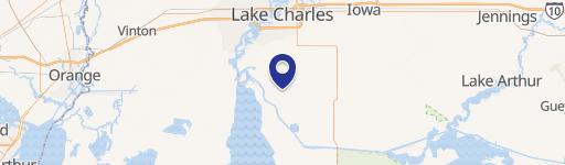
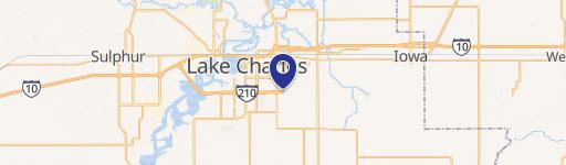
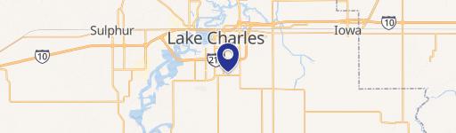
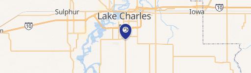
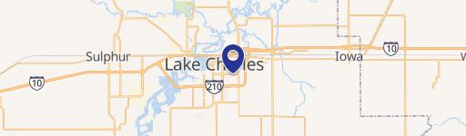
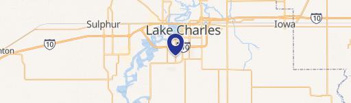
Location Insight
- Map
- Local Demand
- City
- Lake Charles
- County
- Calcasieu
- State
- Louisiana
- Longitude
- -93.2461
- Latitude
- 30.0518