
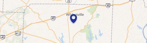
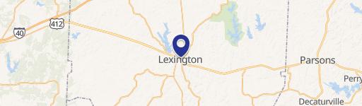
00 Sand Ridge Bargerton Rd, Lexington, TN 38351
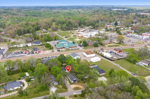
This Tennessee farm encompasses approximately 226 acres (9,870,696 sq ft) in Lexington, Henderson County (zip code 38351), offering a unique blend of agricultural and recreational opportunities. The property boasts approximately 45 acres of fertile row crop land, extensive pastureland, and over 115 acres of wooded area, last harvested about a decade ago. A significant feature is the Middle Fork Forked Deer River traversing the northern section, ideal for hunting and wildlife viewing. A 40x40-foot shop provides ample storage or workshop space, with potential for residential conversion. High-speed internet access is available at the roadside. This picturesque property, located on the west side of Lexington, presents a compelling investment opportunity for farming, recreation, or establishing a rural retreat. The land's diverse features, including fertile fields, abundant pasture, and extensive woodland, create a versatile setting for various uses. The existing shop adds significant value, offering immediate utility and future development potential. The property's proximity to Lexington and access to high-speed internet enhance its appeal and practicality.
Cap rate
Implied · in-place · derived from last sale + estimated NOIValue
AI, CAP & Alternative Use estimations · Realmo proprietary blendComparables
6 recent transactions · within 1.5 miComparable in this City


Similar Nearby for Sale


Similar Nearby for Lease


Property description
Physical attributes from public recordsZoning & alternative use
No recorded transactions found for this property.
Costs & Benchmarks
Operating expenses, capex projections, utility benchmarks, and submarket comparables — all in one view.
Risks
Flood, climate, environmental, title, and tenant-concentration risk — surfaced with mitigations and source citations.


