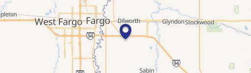
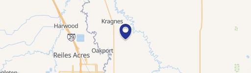
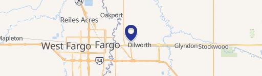
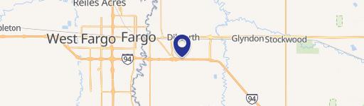
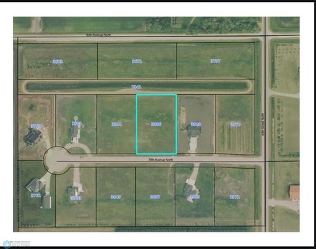
0 Wall Street Ave Moorhead, MN 56560
This exceptional 24.4-acre property presents a unique investment opportunity in Clay County, Minnesota. Strategically located near the intersection of Highway 75 and Wall Street Avenue North in Oakport (zip code 56560), this land boasts high visibility and convenient access to major transportation routes. Zoned for both agricultural and commercial uses, the possibilities are vast. Imagine developing a thriving business park, constructing a modern industrial facility, or creating a unique agricultural venture. The asking price is $732,000, representing a competitive price per acre of $30,000. The property's location in Moorhead's vicinity offers access to a robust workforce and established infrastructure. With its expansive size and versatile zoning, this land parcel is ideal for a wide range of development projects. The property's latitude and longitude coordinates are 46.9359038 and -96.7663399 respectively. Don't miss this chance to acquire a significant piece of land with immense potential for future growth and profitability in a rapidly developing area. Serious inquiries only.
Cap rate
Implied · in-place · derived from last sale + estimated NOIValue
AI, CAP & Alternative Use estimations · Realmo proprietary blendComparables
6 recent transactions · within 1.5 miComparable in this City


Similar Nearby for Sale


Similar Nearby for Lease


Property description
Physical attributes from public recordsZoning & alternative use
No recorded transactions found for this property.
Costs & Benchmarks
Operating expenses, capex projections, utility benchmarks, and submarket comparables — all in one view.
Risks
Flood, climate, environmental, title, and tenant-concentration risk — surfaced with mitigations and source citations.


