Property summary
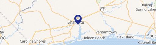
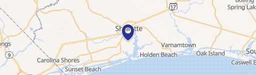
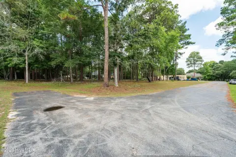
This exceptional 8-acre commercial land parcel presents a unique investment opportunity in rapidly growing Brunswick County, North Carolina. Located on Forest Drive in Shallotte, this property boasts a B-2 zoning designation, offering flexibility for a variety of commercial uses, including office, retail, distribution, and some light industrial applications. Future use plans call for HB zoning. The site enjoys convenient access to major thoroughfares such as Main Street, Highway 17, and Highway 179, providing easy access to Ocean Isle and Sunset Beach. Utilities include Brunswick Electric Membership Corp. power, water, and sewer (requiring rezoning and annexation for full sewer service). A portion of the land lies south of the Highway 17 Bypass. The parcel ID is 1820004101. This strategic location benefits from proximity to established retail power centers, including a Walmart and a Home Depot/Belk complex, as well as numerous restaurants, banks, and service businesses. Brunswick County's consistent growth, ranking as the fastest-growing county in North Carolina for the past two years, further underscores the investment potential of this property. The property is ideally suited for service businesses catering to the area's expanding residential population, such as HVAC, plumbing, flooring, or showroom spaces. The sale price is $68,750 per acre.
Property profile
VerifiedCap rate & NOI
Location
Value estimations
Owner & transaction history
Comparables
6 recent transactions · within 1.5 miComparable in this City


Similar Nearby for Sale


Similar Nearby for Lease


Value estimation
Instant AI valuation built from comps, income signals, and proprietary benchmarks. A defensible range, not a single guess.
from $99/month
Cap rate
Cap rate calculated from real income and expense signals, benchmarked against sales of similar assets nearby.
from $99/month
Property description
Physical attributes from public recordsZoning & alternative use
Zoning
The recorded zoning designation, what the district officially allows, and the municipal source it comes from.
No zoning code is on file for this parcel. Zoning coverage grows with every catalog release — check back, or open Location Intelligence for use analysis of this corner.
Find the owner behind the property.
Unlock the evidence behind ownership: portfolio, transactions, debt and signals that help you decide who to contact next.
Registration is required before any owner information is shown.
- Full Property Data
- Historical Records
- Value Estimation
- NOI Potential
- Cap Rate Calculation
- Ownership
- Location Insight
- Alternative use
- Local Zoning Insight
Cancel anytime.
- 30 reports a month
- Location Analytics
- Market Trends
- Full Property Data
- Historical Records
- Value Estimation
- NOI Potential
- Cap Rate Calculation
- Ownership
- Location Insight
- Alternative use
- Local Zoning Insight
Cancel anytime.
- 300 reports a month
- Location Analytics
- Market Trends
- Full Property Data
- Historical Records
- Value Estimation
- NOI Potential
- Cap Rate Calculation
- Ownership
- Location Insight
- Alternative use
- Local Zoning Insight
and get 1 Light Report
- Property Information
- Historical Records
- Value Estimation
- NOI Potential
- Cap Rate Potential
- Location Insight
- Alternative use
- Local Zoning Insight


