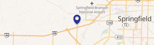
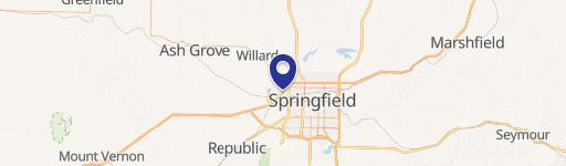
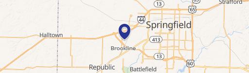
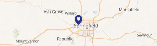
6500 Farm Road 124 Springfield, MO 65802
Property profile & analytics
Location Intelligence
Current Use by Public Records
- Land
Property Details for 6500 Farm Road 124
- Lot size
- 67.00 lot acres
- Property type
- Land
Description
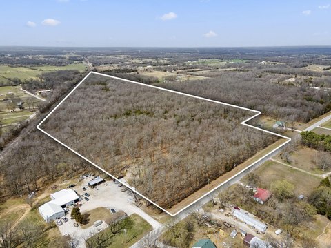
This exceptional ±67-acre parcel presents a significant development opportunity in Springfield, Missouri. Located at 6500 W. Farm Road 124, this property boasts 2,655 feet of frontage on Division Street (W. Farm Road 124), offering unparalleled visibility and accessibility. The land is situated near the intersection of Division Street and Airport Boulevard, providing convenient access to major transportation routes. Currently zoned A-1 Agricultural, the property is also designated as an Airport Overlay District (detailed information available upon request). The asking price is $2,010,000, translating to $30,000 per acre. The property's expansive size and strategic location make it highly suitable for a variety of commercial ventures. With its significant frontage and proximity to key infrastructure, this land offers substantial potential for investors and developers seeking a prime location in a thriving market. The Greene County Assessor's Parcel Number (APN) is 881414100001. This is a rare opportunity to acquire a large, well-positioned tract of land in Springfield, MO, zip code 65802.
Value Estimations
based on Realmo’s proprietary methodology
-
AI approach
-
CAP approach
-
Comparable approach
-
Alternative Use
Get a detailed, property-specific estimation — fast and free
Location Insight
- Map
- Local Demand
- City
- Springfield
- County
- Greene
- State
- Missouri
- Longitude
- -93.408
- Latitude
- 37.2283