Property summary
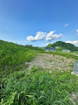
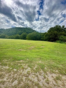
This exceptional 42,744-square-foot crossdock/distribution warehouse is available for lease in Chavies, Kentucky. Situated within the Coal Fields Industrial Park on KY Hwy 15, this Class C facility offers convenient access to major transportation routes, being just six miles north of KY Hwy 80 and eight miles north of Hazard's central business district. The property boasts eight dock-high doors and three drive-in doors, ensuring efficient loading and unloading operations. Power is provided by a robust 600-amp, 480/277-volt, 3-phase electrical system. Built in 2012, this single-tenant building sits on a generous 7.27-acre lot, providing ample space for maneuvering and future expansion. The property's industrial zoning allows for a variety of uses. The strategic location within the Coal Fields Regional Industrial Park, a partnership of several Kentucky River District counties, offers access to a regional workforce and established infrastructure. Hazard, a nearby city, provides essential services including higher education (Hazard Community and Technical College and the University Center of the Mountains) and healthcare (Appalachian Regional Healthcare Medical Center), supporting a strong local economy. This property presents a significant opportunity for businesses seeking a well-equipped and strategically located distribution center in Eastern Kentucky. The entire 42,744 square feet is currently vacant. Perry County location and zoning are key advantages.
Property profile
VerifiedCap rate & NOI
Current use
-
Corporate Office
Location
Value estimations
Owner & transaction history
Comparables
6 recent transactions · within 1.5 miComparable in this City


Similar Nearby for Sale

Value estimation
Instant AI valuation built from comps, income signals, and proprietary benchmarks. A defensible range, not a single guess.
from $99/month
Cap rate
Cap rate calculated from real income and expense signals, benchmarked against sales of similar assets nearby.
from $99/month
Property description
Physical attributes from public recordsZoning & alternative use
Zoning
The recorded zoning designation, what the district officially allows, and the municipal source it comes from.
No zoning code is on file for this parcel. Zoning coverage grows with every catalog release — check back, or open Location Intelligence for use analysis of this corner.
Find the owner behind the property.
Unlock the evidence behind ownership: portfolio, transactions, debt and signals that help you decide who to contact next.
Registration is required before any owner information is shown.
- Full Property Data
- Historical Records
- Value Estimation
- NOI Potential
- Cap Rate Calculation
- Ownership
- Location Insight
- Alternative use
- Local Zoning Insight
Cancel anytime.
- 30 reports a month
- Location Analytics
- Market Trends
- Full Property Data
- Historical Records
- Value Estimation
- NOI Potential
- Cap Rate Calculation
- Ownership
- Location Insight
- Alternative use
- Local Zoning Insight
Cancel anytime.
- 300 reports a month
- Location Analytics
- Market Trends
- Full Property Data
- Historical Records
- Value Estimation
- NOI Potential
- Cap Rate Calculation
- Ownership
- Location Insight
- Alternative use
- Local Zoning Insight
and get 1 Light Report
- Property Information
- Historical Records
- Value Estimation
- NOI Potential
- Cap Rate Potential
- Location Insight
- Alternative use
- Local Zoning Insight


