Current Use by Public Records
- Land
Property Details for 0 Las Palomas Dr
- Lot size
- 57.90 lot acres
- Property type
- Land
Description
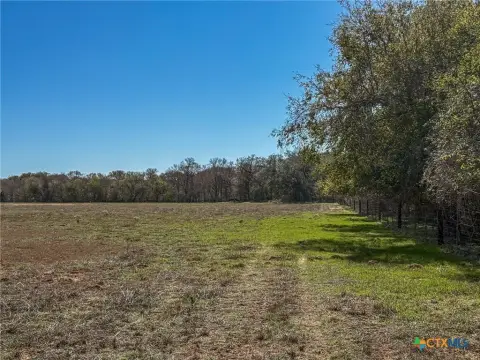
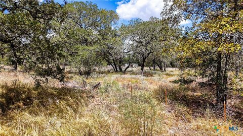
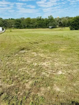
This exceptional 57.9-acre property in La Vernia, Texas, presents a remarkable opportunity for commercial and residential development. Located on Las Palomas Dr, Wilson County, zip code 78121 (coordinates 29.34938, -98.02038), this unzoned land offers complete freedom from restrictive covenants and HOA fees. All essential utilities are readily accessible: South Central Water provides sewer service, SS Water Supply offers water, GVEC supplies electricity and fiber optic capabilities. A short line extension may be required for some utilities, per provider specifications. An ALTA survey is available for review. The property's potential is significant, with a feasible density of 3 or more lots per acre, as confirmed by the sewer provider. This prime location offers investors and developers a unique chance to create a thriving community. The property is offered at $1,200,000 and is being sold by the owner, BBT SERIES XVI LLC. The APN is 0171-00000-00104.
Value Estimations
-
AI approach
-
CAP approach
-
Comparable approach
-
Alternative Use
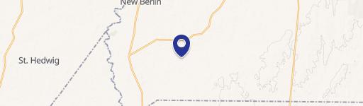
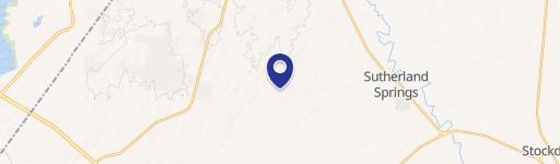
Location Insight
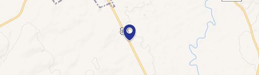
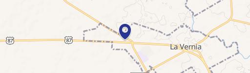
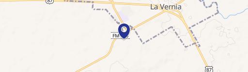
- Map
- Local Demand
- City
- La Vernia
- County
- Wilson
- State
- Texas
- Longitude
- -98.0204
- Latitude
- 29.3494