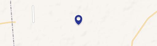
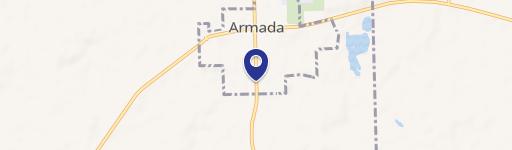
0 Capac Rd Armada, MI 48005
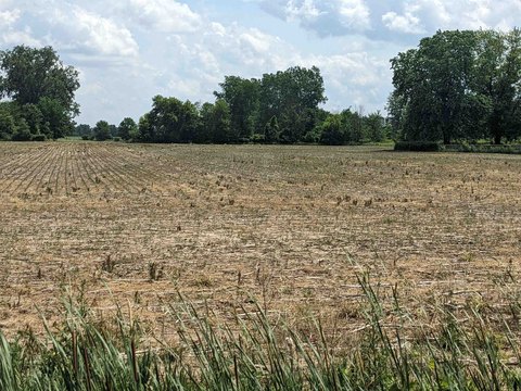
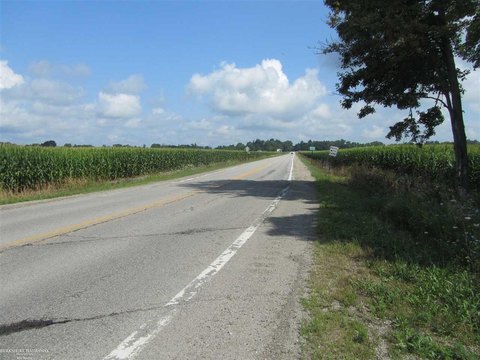
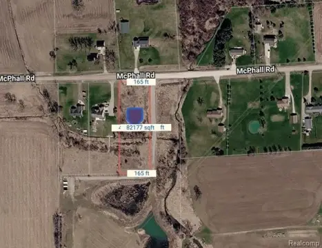
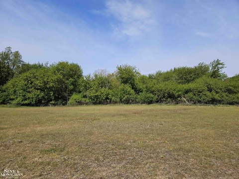
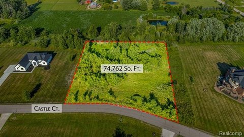
This exceptional 27.91-acre commercial land parcel presents a unique investment opportunity in Armada, Michigan. Located on Capac Road, this property boasts significant frontage (541 feet) on a paved road, offering excellent accessibility. The expansive lot, measuring approximately 541 x 1086 x 826 x 152 x 330 feet, provides ample space for various development possibilities. Currently zoned Agricultural, the land is ready for building, with natural gas readily available at the roadside. The northern property line extends 1,086 feet along Boardman Road (if and when completed, currently treeline). The property's considerable size and dimensions (1,215,760 square feet) offer substantial potential for subdivision or large-scale development. A plat is included in the disclosure documents. The property begins at the treeline north of the residence situated at 80780 Capac Road. Served by the Armada Area Schools, this location offers a blend of rural tranquility and convenient access to nearby amenities. The motivated seller is open to considering all offers. Parcel number is 13-02-04-100-022. Taxes reflect 2021 assessment.
Cap rate
Implied · in-place · derived from last sale + estimated NOIValue
AI, CAP & Alternative Use estimations · Realmo proprietary blendComparables
6 recent transactions · within 1.5 miComparable in this City


Similar Nearby for Sale

Similar Nearby for Lease
Property description
Physical attributes from public recordsZoning & alternative use
No recorded transactions found for this property.
Costs & Benchmarks
Operating expenses, capex projections, utility benchmarks, and submarket comparables — all in one view.
Risks
Flood, climate, environmental, title, and tenant-concentration risk — surfaced with mitigations and source citations.


