Current Use by Public Records
- Land
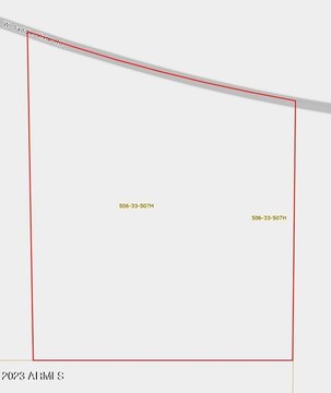
Property Details for 347xx Indian School Rd
- Lot size
- 29.64 lot acres
- Property type
- Land
- Property subtype
- Farms
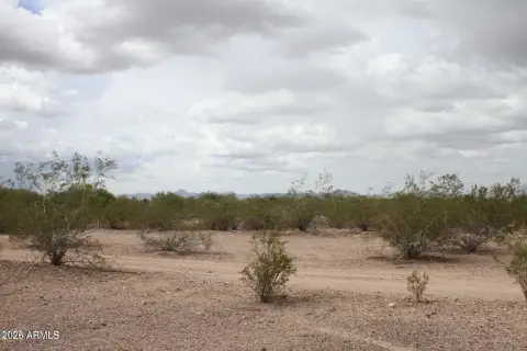
Description
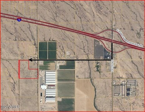
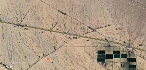
This exceptional 29.64-acre parcel, located in Tonopah, Arizona (Maricopa County, zip code 85354), presents a unique investment opportunity. Designated by APN 504-66-001G and zoned RU-43, this land offers both agricultural and residential potential. Conveniently situated near the intersection of 347th Avenue and Bethany Home Road, access is facilitated via the Full Diamond Interchange at Interstate 10 and 339th Avenue. From I-10, travel north on 339th Avenue to Indian School Road, then west to Wickenburg Road North, finally reaching Bethany Home Road where the property lies south of the southeast corner of 347th and Bethany Home. The property benefits from its proximity to major transportation arteries, including Interstate 10, providing easy access to downtown Phoenix and key freeways like Loop 101, Loop 202, Loop 303, and State Route 85 (connecting to I-8). Furthermore, its location is approximately two miles east of the proposed Interstate 11 alternative route, a planned intermountain west corridor connecting Arizona and Nevada, envisioned as part of a larger CANAMEX corridor. The surrounding area features several planned communities, including Belmont, Hassayampa Ranch, and Millennium Ranch, suggesting significant future growth potential. This property offers investors a strategic position in a rapidly developing region.
Value Estimations
-
AI approach
-
CAP approach
-
Comparable approach
-
Alternative Use
Location Insight
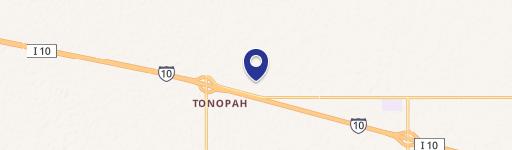
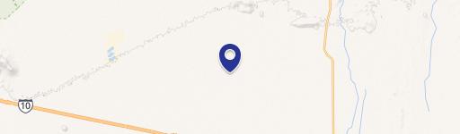
- Map
- Local Demand
- City
- Tonopah
- County
- Maricopa
- State
- Arizona
- Longitude
- -112.797
- Latitude
- 33.5168