
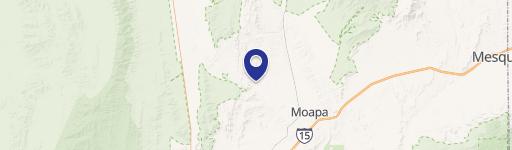
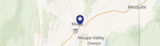
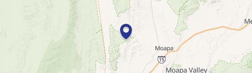
168 Moapa Nv Usa, Moapa, NV 89025
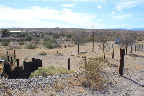
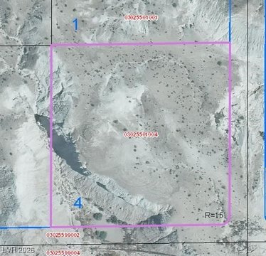
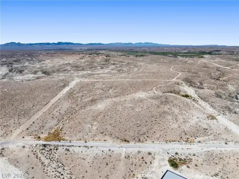
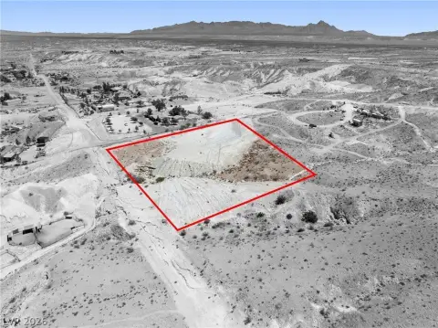
This exceptional investment opportunity encompasses five parcels totaling 69.36 acres of vacant land in Moapa, Nevada. Strategically located off Highway 168, the property boasts convenient road frontage along Highway 168, Voris Street, and Eiseman Street, providing excellent accessibility. The land is zoned R-U, incorporating Residential Rural (RR) and Institutional (IL) land use designations, offering diverse development potential. With its substantial size and versatile zoning, this property presents a unique chance for various projects, from residential subdivisions to commercial ventures or institutional facilities. The individual parcel APNs are 030-13-201-001, 030-13-301-008, 030-13-401-001, 030-13-401-002, and 030-13-801-003. The asking price for this expansive land holding is $1,734,500. Located in Clark County, Nevada, with a zip code of 89025, this property offers a compelling blend of location, size, and zoning flexibility. Its proximity to Highway 168 ensures easy access and visibility, making it an attractive prospect for developers and investors seeking a significant land acquisition in a rapidly growing area. The latitude and longitude coordinates are 36.6726703 and -114.5967907 respectively.
Cap rate
Implied · in-place · derived from last sale + estimated NOIValue
AI, CAP & Alternative Use estimations · Realmo proprietary blendComparables
6 recent transactions · within 1.5 miComparable in this City


Similar Nearby for Sale


Property description
Physical attributes from public recordsZoning & alternative use
No recorded transactions found for this property.
Costs & Benchmarks
Operating expenses, capex projections, utility benchmarks, and submarket comparables — all in one view.
Risks
Flood, climate, environmental, title, and tenant-concentration risk — surfaced with mitigations and source citations.


