Property summary
This exceptional 18.69-acre parcel presents a remarkable development opportunity in Pocatello, Idaho. Strategically located in Bannock County, the property boasts a highly desirable Multi-Use zoning designation, opening doors to a wide range of projects, including residential subdivisions or light industrial developments. The land itself is largely flat with a gentle westward slope, ensuring maximum usability and minimizing costly site preparation. Convenient paved access is already in place, further enhanced by the fact that approximately two-thirds of the gravel road bordering the north and west sides of the property are included in this offering, providing alternative access points for future construction. The property's location offers significant advantages. It's situated across from Century High School, providing immediate proximity to a substantial population base, and enjoys easy access to both northbound and southbound I-15, ensuring excellent connectivity for residents and businesses alike. Furthermore, a pre-existing agreement with the City of Pocatello secures water and sewer access, streamlining the development process. This is a truly unique opportunity to capitalize on the growth potential of South Pocatello. The flat terrain and convenient access make this an ideal site for a variety of projects. Contact for details on the water and sewer agreement. Don't miss this chance to shape the future of this thriving community.
Property profile
VerifiedCap rate & NOI
Location
Value estimations
Owner & transaction history
Comparables
6 recent transactions · within 1.5 miComparable in this City

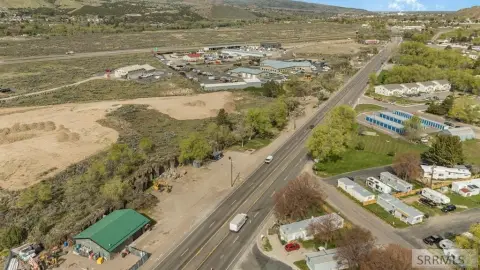
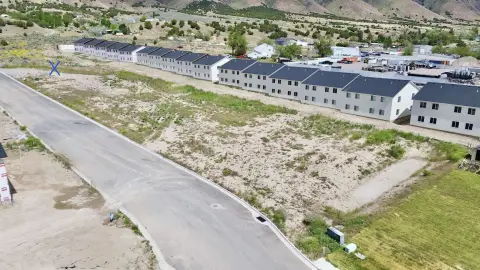
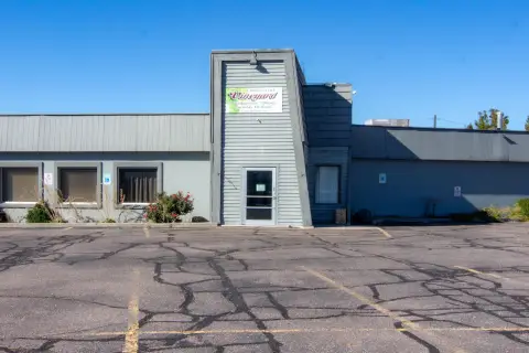
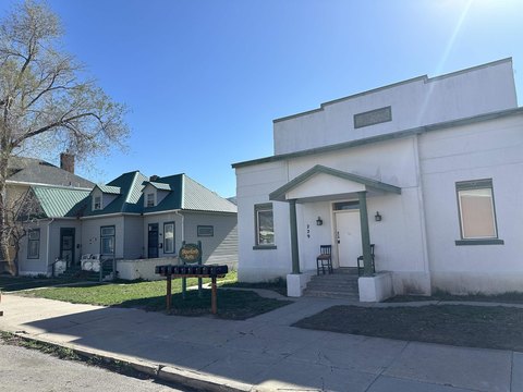
Similar Nearby for Sale
Similar Nearby for Lease



Value estimation
Instant AI valuation built from comps, income signals, and proprietary benchmarks. A defensible range, not a single guess.
from $99/month
Cap rate
Cap rate calculated from real income and expense signals, benchmarked against sales of similar assets nearby.
from $99/month
Property description
Physical attributes from public recordsZoning & alternative use
Zoning
The recorded zoning designation, what the district officially allows, and the municipal source it comes from.
No zoning code is on file for this parcel. Zoning coverage grows with every catalog release — check back, or open Location Intelligence for use analysis of this corner.
Find the owner behind the property.
Unlock the evidence behind ownership: portfolio, transactions, debt and signals that help you decide who to contact next.
Registration is required before any owner information is shown.
- Full Property Data
- Historical Records
- Value Estimation
- NOI Potential
- Cap Rate Calculation
- Ownership
- Location Insight
- Alternative use
- Local Zoning Insight
Cancel anytime.
- 30 reports a month
- Location Analytics
- Market Trends
- Full Property Data
- Historical Records
- Value Estimation
- NOI Potential
- Cap Rate Calculation
- Ownership
- Location Insight
- Alternative use
- Local Zoning Insight
Cancel anytime.
- 300 reports a month
- Location Analytics
- Market Trends
- Full Property Data
- Historical Records
- Value Estimation
- NOI Potential
- Cap Rate Calculation
- Ownership
- Location Insight
- Alternative use
- Local Zoning Insight
and get 1 Light Report
- Property Information
- Historical Records
- Value Estimation
- NOI Potential
- Cap Rate Potential
- Location Insight
- Alternative use
- Local Zoning Insight


