River Bottomland Agricultural
For Sale
$320,000
YC Nichols Rd, Lowndesboro, AL 36752
Land, Lowndesboro, AL
Property SizeContact for details
Lot Size86.20 Acres
Days on Market179
Property Features for YC Nichols Rd
General Information
Property type
Land
Property subtype
Other
High school district
000000
Directions
Call Agent for details
Standard status
Active
APN
Call Agent
Lot size
86.20 Acres
Listing Agency:
National Land Realty, Montgomery, AL
(855) 384-5263
Listed By:
Jerry Joe Ingram, Jr.
(334) 300-4273
Added: Apr 22
Changed: Aug 20
Last Checked: Oct 17 at 2:06AM
MLS# 11735896
Copyright © 2026 My State MLS. All rights reserved. All information provided by the listing agent/broker is deemed reliable but is not guaranteed and should be independently verified.

Ask AI about this property
Review the available facts, identify missing information and prepare questions for the agent.
Investment Insights
Based on property information with market context.
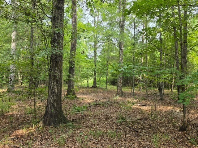
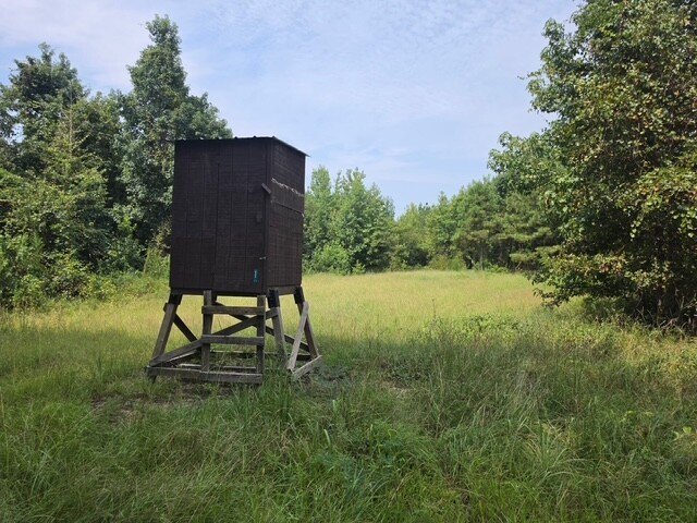
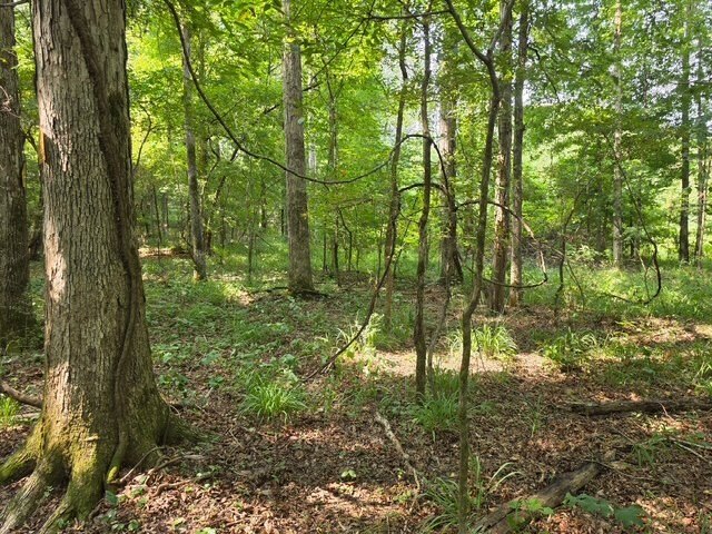
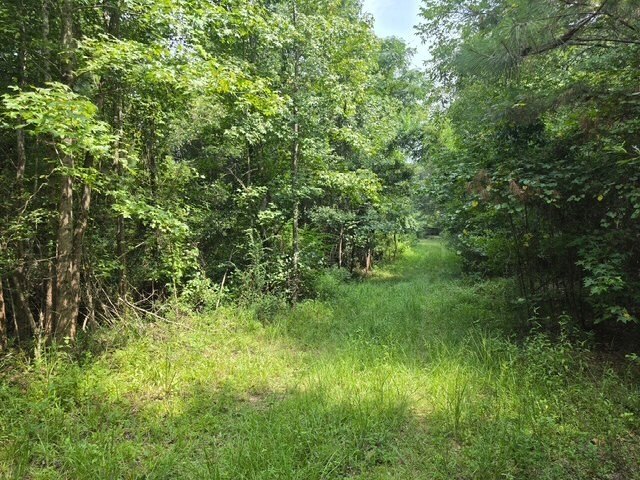
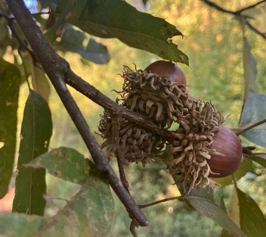
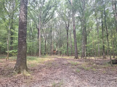
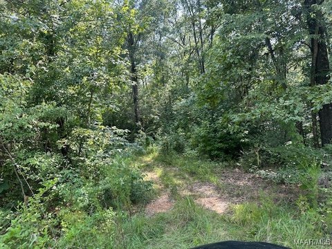
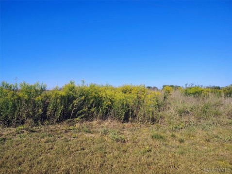
This 86.2-acre agricultural tract combines productive river-bottom soils with level to gently rolling terrain. Elevations range from 140 feet along drainage areas to 150 feet on ridges. Existing improvements include mixed hardwood and pine, planted Sawtooth oaks, food plots, duck ponds, shooting houses, and an internal road network. The property supports agricultural, timber, hunting, recreational, and hobby-farm uses.
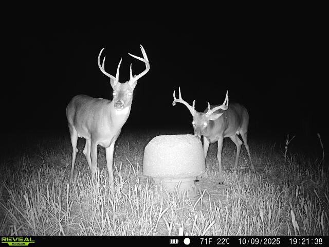
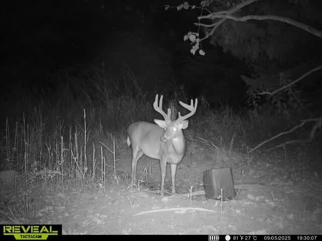
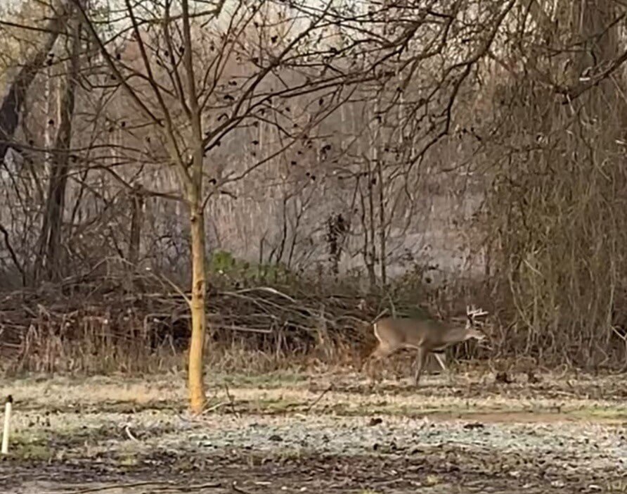
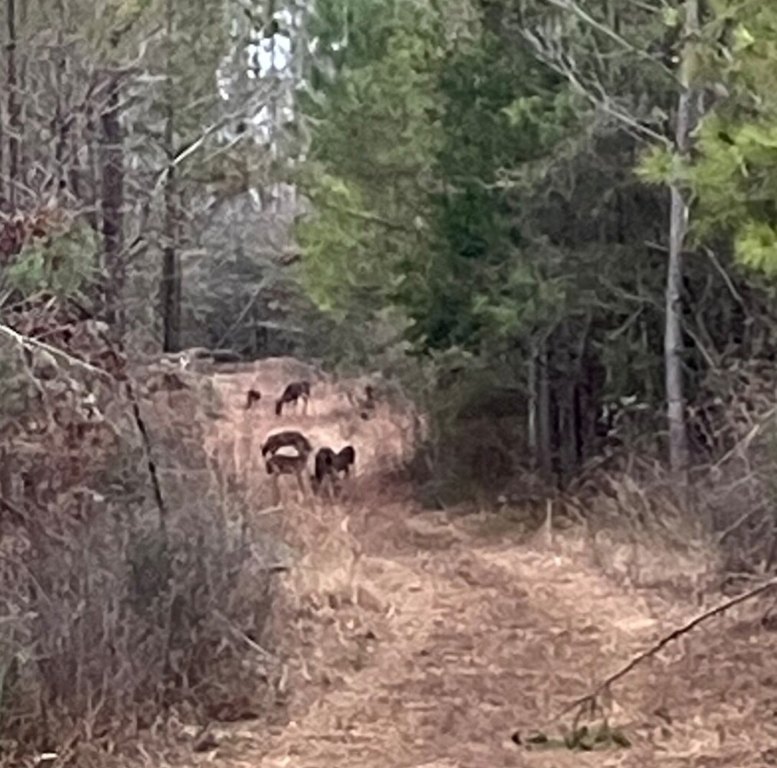
The tract lies in Lowndes County north of Lowndesboro, less than 1 mile from the Alabama River and approximately 30 minutes from Montgomery. The river is a navigable waterway extending to Mobile Bay, with access to fishing and water-based recreation. The property also adjoins the Lowndes County Alabama Wildlife Management Area and is positioned within the Black Belt soil region, known for deer, turkey, and waterfowl habitat.
The tract lies in Lowndes County north of Lowndesboro, less than 1 mile from the Alabama River and approximately 30 minutes from Montgomery. The river is a navigable waterway extending to Mobile Bay, with access to fishing and water-based recreation. The property also adjoins the Lowndes County Alabama Wildlife Management Area and is positioned within the Black Belt soil region, known for deer, turkey, and waterfowl habitat.
Key Highlights
- 86.2 acres of agricultural land in Lowndes County
- Level to slightly rolling terrain with elevations from 140 feet to 150 feet
- Mixed hardwood and pine timber with planted Sawtooth oaks
Property Analytics
Current Use
Lease Details
Yes
Paved road access
Location Intelligence
Demographics for 36752, AL
1,559
Population
770
Households
2
Avg Household Size
50
Median Age
22%
College-Educated
95%
High-School Grad
137.5 sq mi
ZIP Area
11
Density / Sq Mi
$45,714
Median Household Income
$54,313
Median Earnings
$136,600
Median Home Value

Frequently Asked Questions
What type of property is this?
Agricultural land / Farmland - Level to gently rolling acreage supports farming, timber, hunting, recreation, and hobby-farm uses.
Where is this agricultural land / farmland located?
The property is located at YC Nichols Rd Lowndesboro, AL.
What is the asking price?
The asking price for this property is $320,000.
What are key features of this property?
This property features: 86.2 acres of agricultural land in Lowndes County; Level to slightly rolling terrain with elevations from 140 feet to 150 feet; Mixed hardwood and pine timber with planted Sawtooth oaks