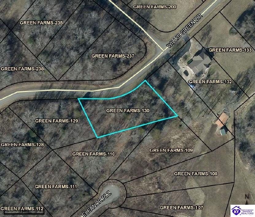
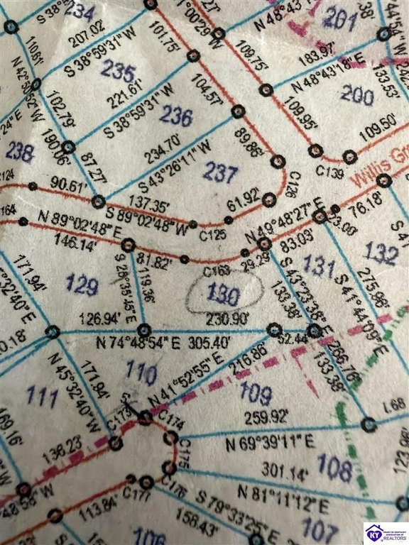
Wooded Homesite Land
Willis Green Drive lot 130 Falls of Rough, KY 40119
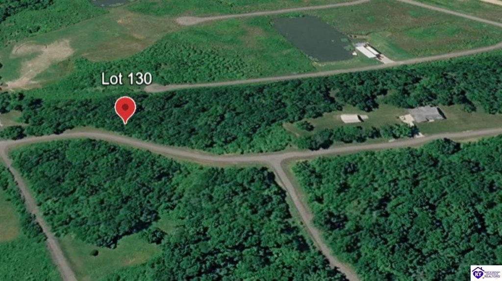
Willis Green Drive lot 130, Falls of Rough, KY, 40119
$125,000
For Sale
$125,000
LAND - Falls Of Rough, KY
Lot Size0.50 Acres
Days on Market159
Property Features for Willis Green Drive lot 130
General Information
- Property type
- Land
- Property subtype
- Other
- Standard status
- Active
- Lot size
- 0.50 Acres
Listing Agency
RE/MAX EXECUTIVE GROUP, INC.
(270) 769-1655
100 Chase Way Suite 1, Elizabethtown, KY
Listed by
Clinkenbeard Team
(270) 735-1659
Added: Feb 11 Checked: Jul 20 at 5:06 am
MLS# HK2600522
Listing URL
Copyright © 2026 Heart of Kentucky Association of Realtors. All rights reserved. All information provided by the listing agent/broker is deemed reliable but is not guaranteed and should be independently verified.
Investment Insights
Based on property information with market context.
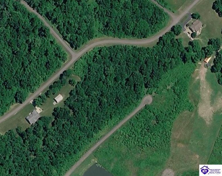
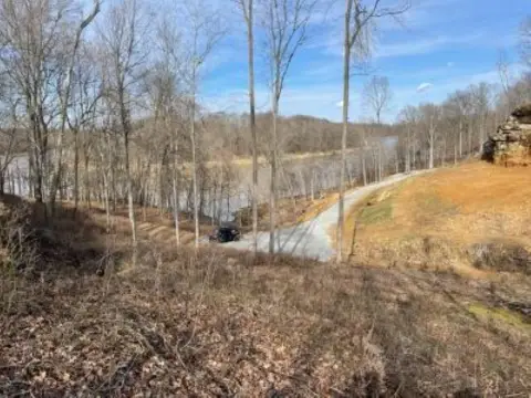
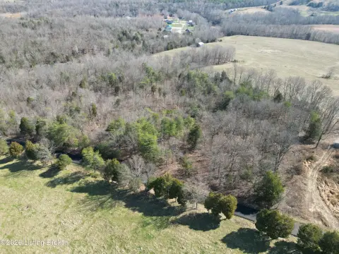
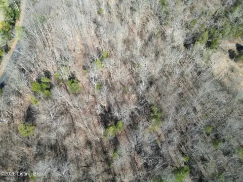
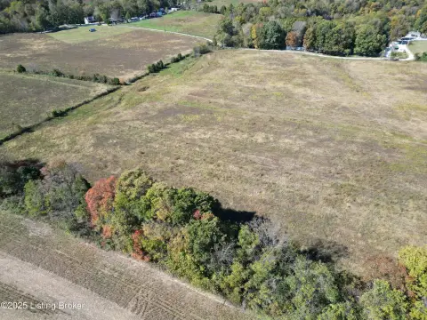
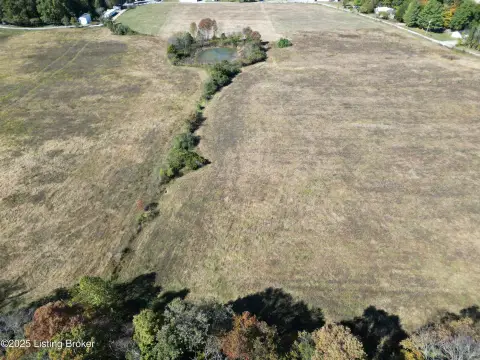
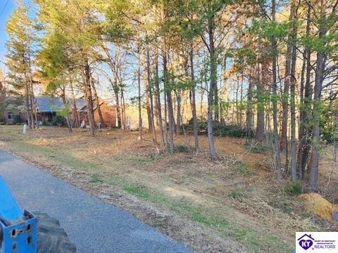
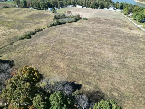
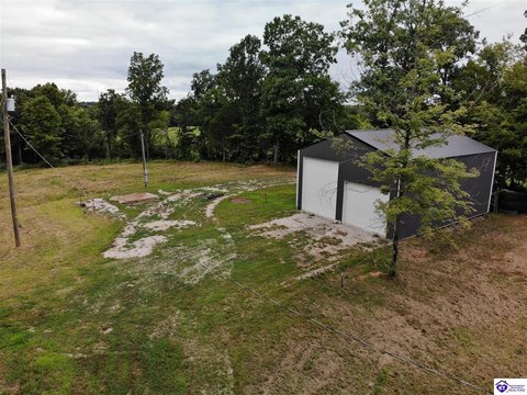
This wooded homesite totals approximately 0.504 acres (0.50+/- acres) in the established Green Farms Subdivision. The property features mature trees, natural privacy, and multiple potential building sites, with elevated wooded terrain that may support seasonal, distant views with selective clearing. The listing notes that there is no HOA, and the quiet character of the surrounding area is intended to support private residential or recreational use.
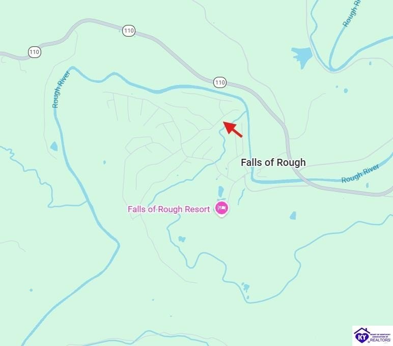
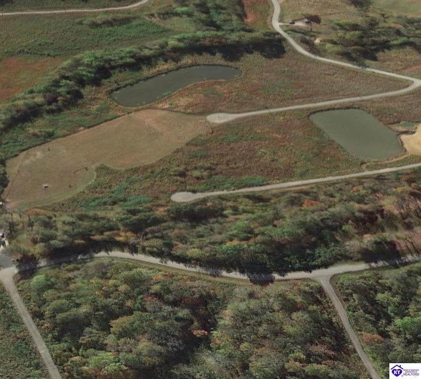
Set within the Falls of Rough recreational area, the parcel is described as minutes from Rough River Dam State Resort Park, with boating and marina access through public boat ramps. The area is also associated with fishing and water recreation, hiking and biking trails, and golf course and lodge facilities. A nearby public airstrip is noted for convenient private aviation access, and the parcel is described as approximately 30 minutes to Leitchfield, 1 hour to Elizabethtown, and 1 hour to Fort Knox.
For buyers looking to build a custom residence or getaway, this lot’s wooded setting and multiple build-ready options can help accommodate different site plans. Electric service is available in the area, and county water service is available to the subdivision, with the buyer advised to verify utilities, restrictions, and lot boundaries.
Key Highlights
- 0.504‑acre wooded lot in the Green Farms Subdivision with mature trees and an elevated wooded terrain
- No HOA reported, offering flexibility for future plans
- Multiple potential building sites on the property with natural privacy from surrounding trees
Property Analytics
Property Profile
Location Intelligence
Current Use by Public Records
Residential land & home ...
Similar For Sale Nearby

FAQs
What type of property is this?
Residential land & home lot - Wooded half-acre homesite in Green Farms with electric and county water available for custom building.
Where is this residential land & home lot located?
The property is located at Willis Green Drive lot 130 Falls of Rough, KY.
What is the asking price?
The asking price for this property is $125,000.
What are key features of this property?
This property features: 0.504‑acre wooded lot in the Green Farms Subdivision with mature trees and an elevated wooded terrain; No HOA reported, offering flexibility for future plans; Multiple potential building sites on the property with natural privacy from surrounding trees


