TBD Interstate 10, Weimar, TX 78962
Acreage,Land - Weimar, TX
- Added:
- Jun 10, 2026
- Days on Market:
- 2
- Last Refresh:
- Jun 11 at 1:06 am
Property Features for TBD Interstate 10
General Information
- Property type
- Land
- Property subtype
- Farm
- Parking features
- Carport
- Exterior features
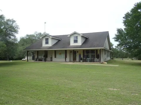
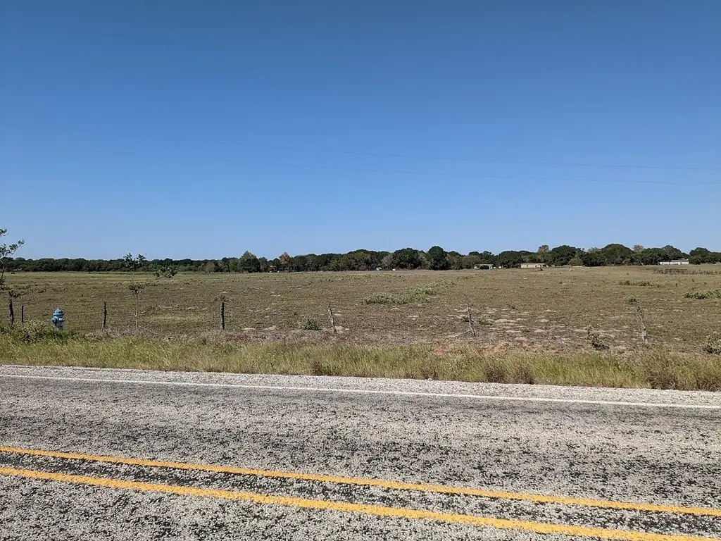
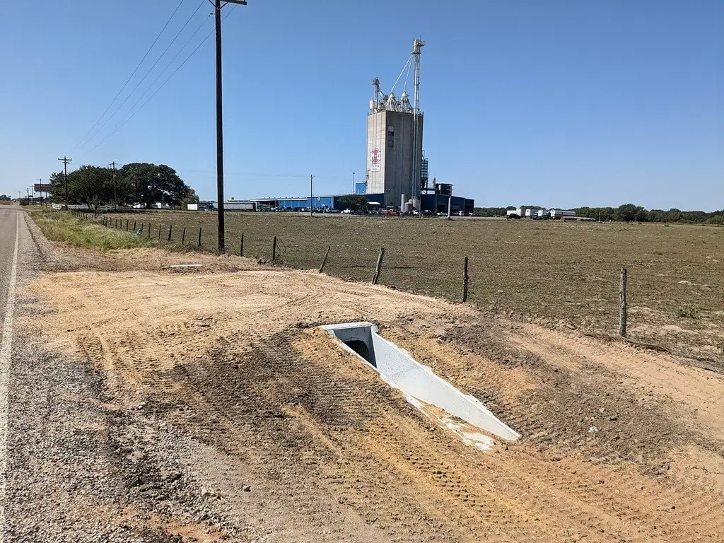
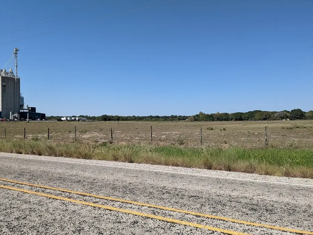
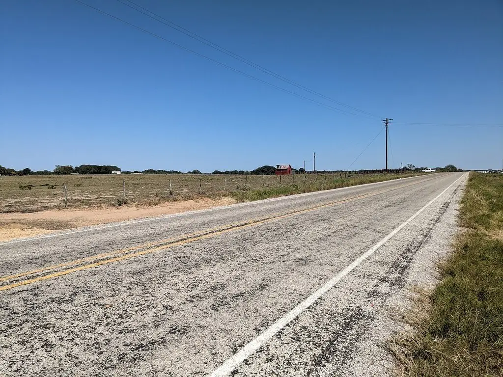
- Improved Pasture, Pens
- Standard status
- Active
- APN
- 28270
- Lot size
- 31.00 Acres
Taxes and HOA fees
- Tax Annual Amount
- 319
Building Details
- Architectural style
- Other
Listing agent Gary Helmcamp License #461405 (979) 725-6006
Listing office TRI-COUNTY REALTY, LLC 707 S. Eagle, Weimar, TX (979) 725-6006
Listing date Jun 10, 2026
Copyright © 2026 South Central Texas Board of Realtors. All rights reserved. All information provided by the listing agent/broker is deemed reliable but is not guaranteed and should be independently verified.
HighLights
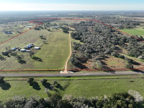
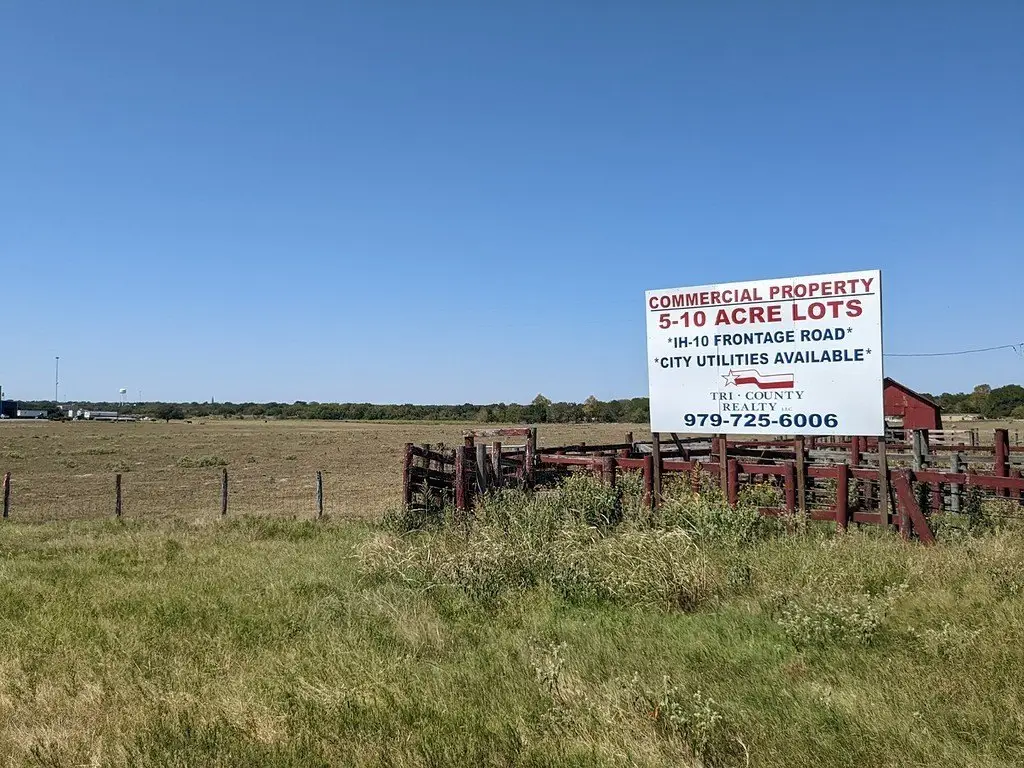
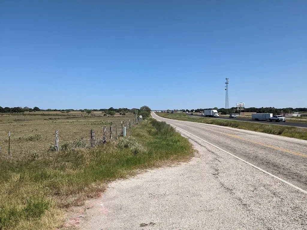
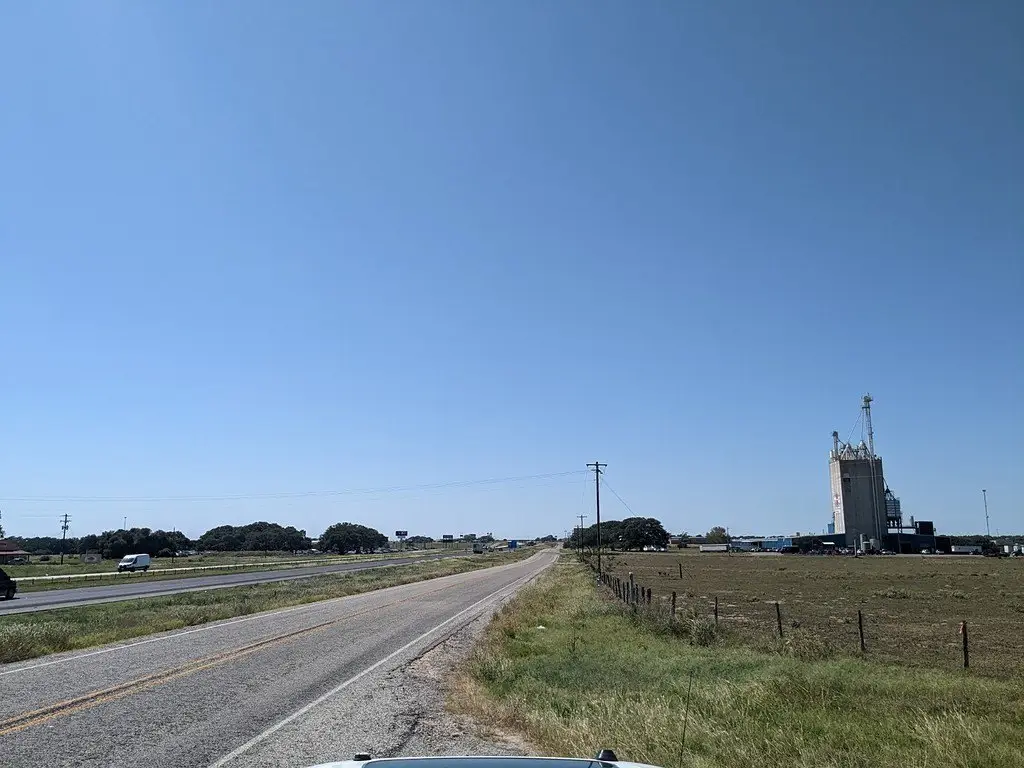
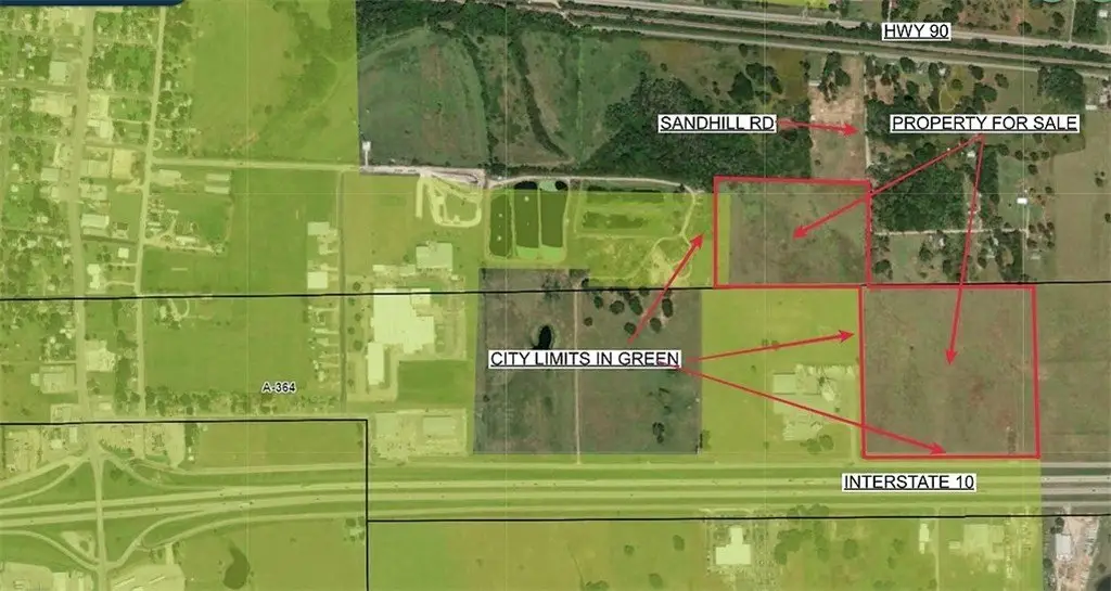
- ~31‑acre tract with approx. 1,150' of I‑10 frontage near Exit 682 & FM 155 (Weimar)
- Two entrances from the I‑10 Frontage Rd for convenient, safe access
- NO FLOOD PLAIN; elevation about 370'-390'
- Ag‑exemption in place via livestock grazing; includes improved pasture and pens
- Rural electrical service on site; city water/sewer available nearby
- Annual AADT (2023) near I‑10 & FM 155: 1,638 south, 4,388 north on FM 155; 37,149 west and 37,545 east on I‑10
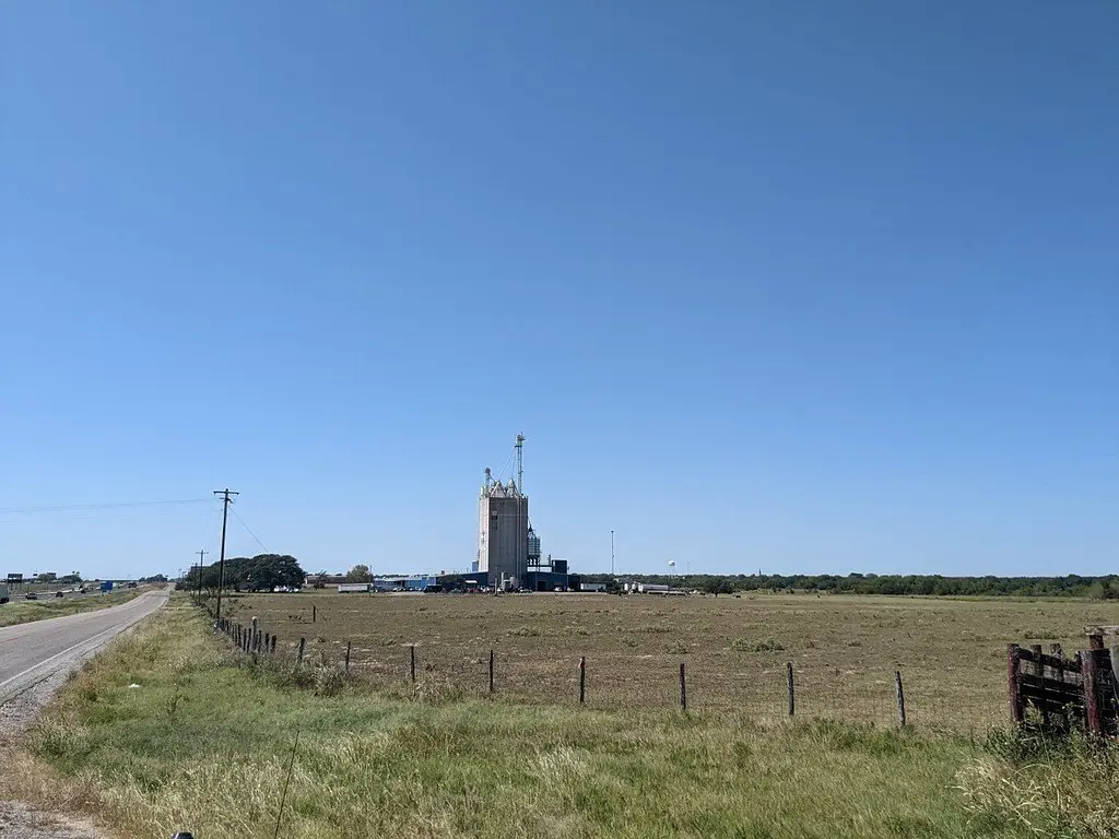
Overview
The site is located just east of the intersection of I-10 (Exit 682 in Weimar) and FM 155. Interstate 10 frontage provides direct roadway visibility, and TxDOT AADT figures for 2023 near the intersection are provided for both directions of FM 155 and for I-10 west and east of FM 155. The west edge borders the east edge of the Weimar city limits.
This property is positioned as a development site with frontage and access suited to businesses that rely on visibility and convenient entry. The seller will consider subdividing into a smaller tract, and additional access is described from Sandhill Rd via HWY 90. City utilities are available close by, giving flexibility for future operators or developers evaluating land use plans along I-10.
Current Use by Public Records
Map
- City
- Weimar
- County
- Colorado
- State
- Texas
- Longitude
- -96.756766
- Latitude
- 29.692667