Wooded Hunting

For Sale
$159,000
W Miller Road, Mio, MI 49647
Vacant Lot/Land, Mio, MI
Property SizeContact for details
Lot Size39.00 Acres
Days on Market97
Property Features for W Miller Road
General Information
Property type
Land
Property subtype
Other
Zoning
Forest/Recreational,Rural
Zoning description
Forest/Recreational, Rural
Exterior features
Countryside View
Lot features
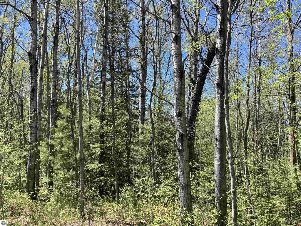
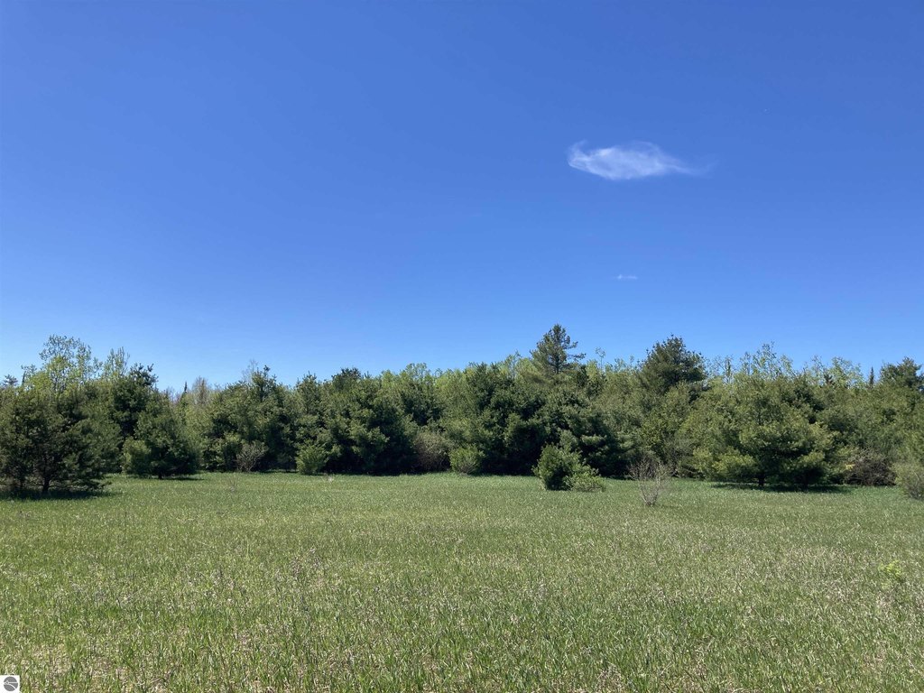
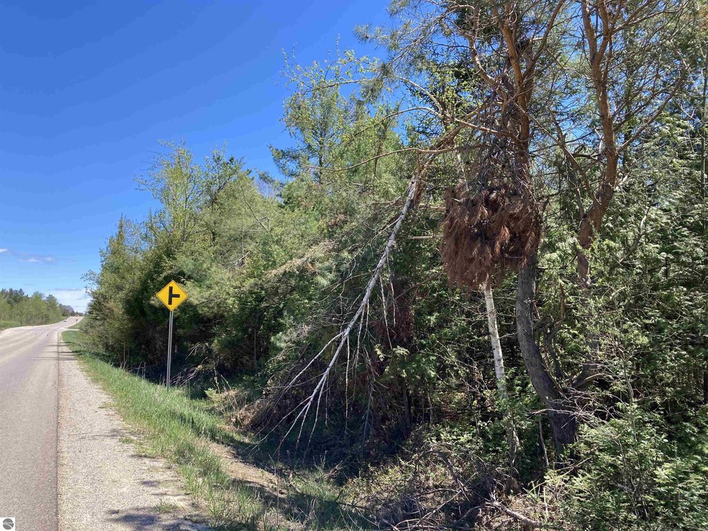
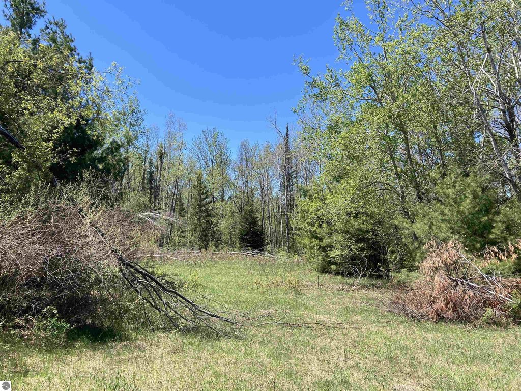
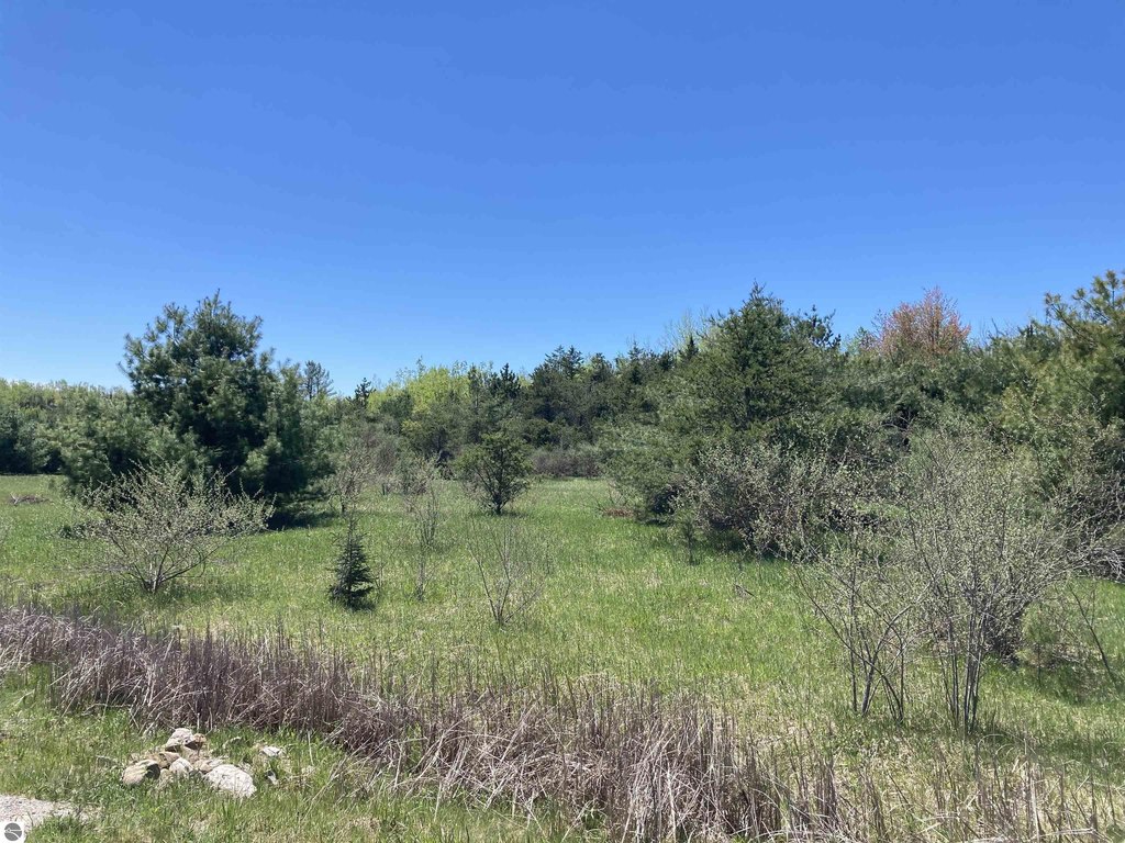
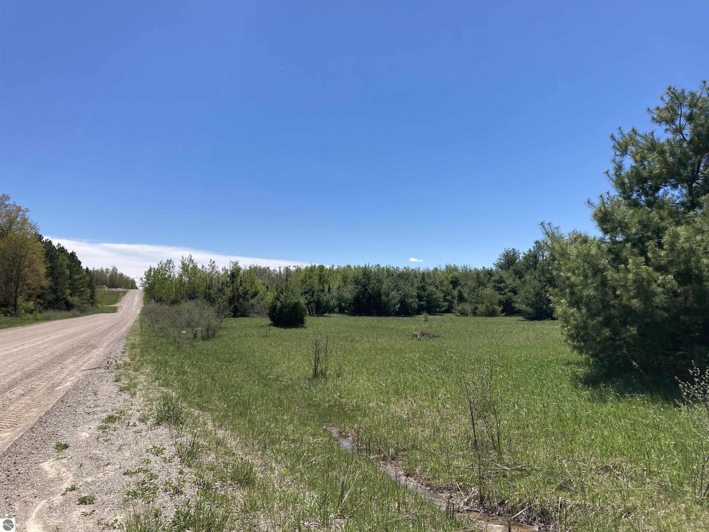
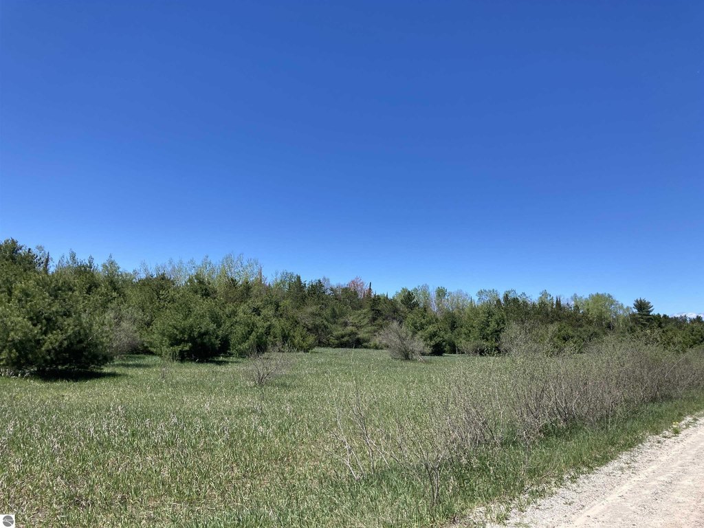
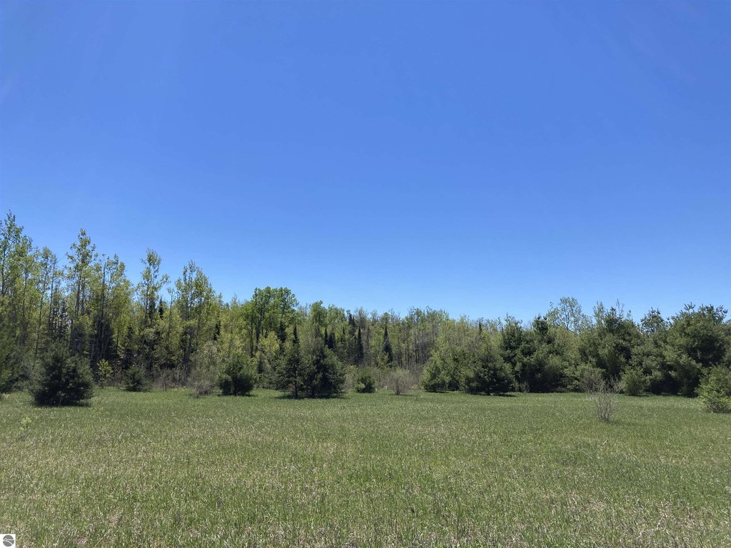
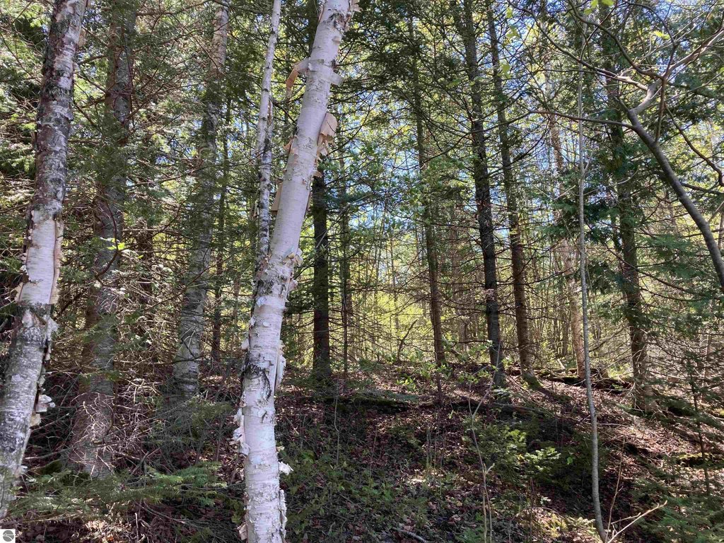
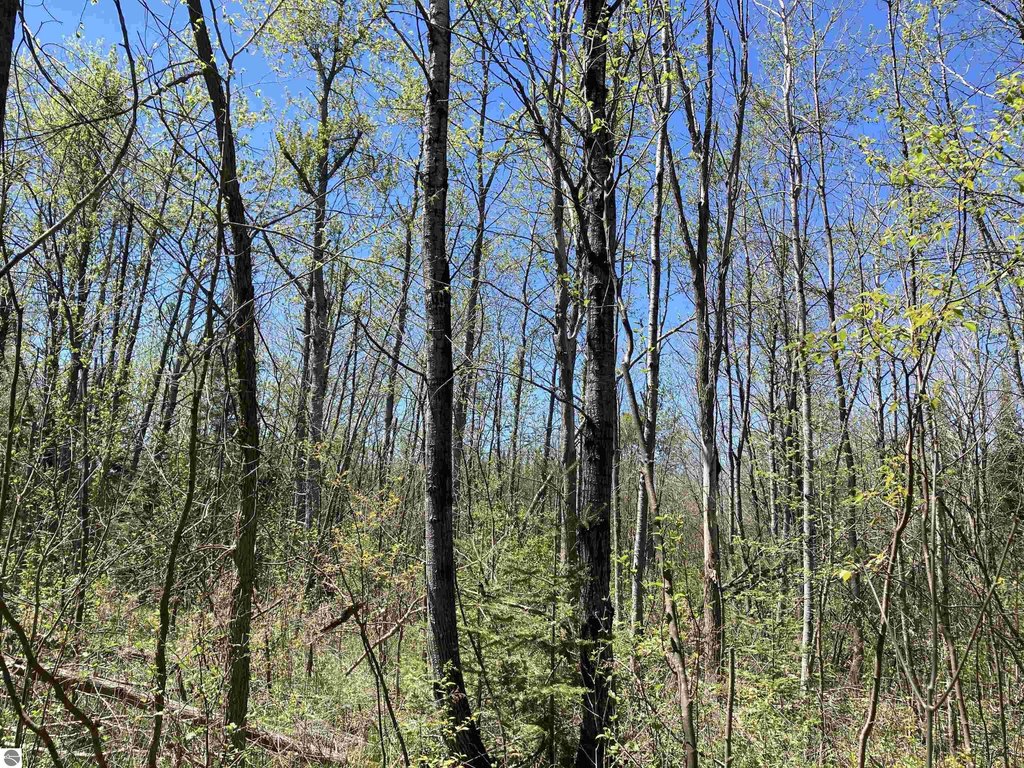
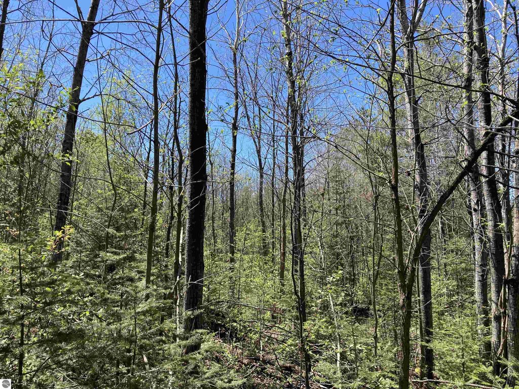
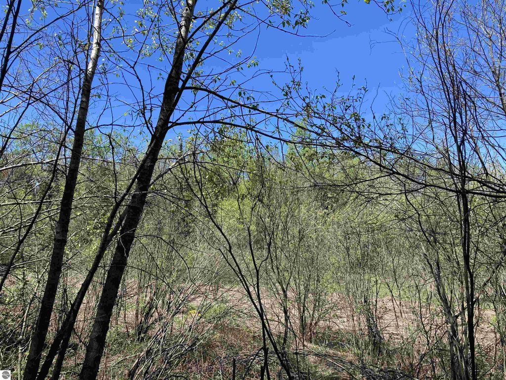
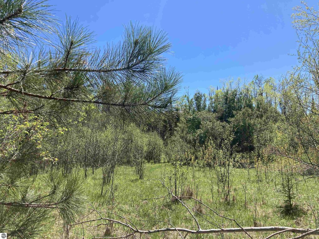
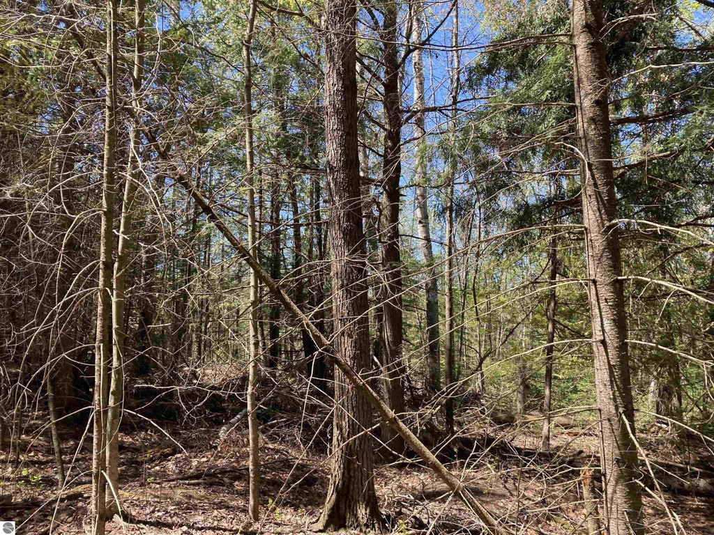
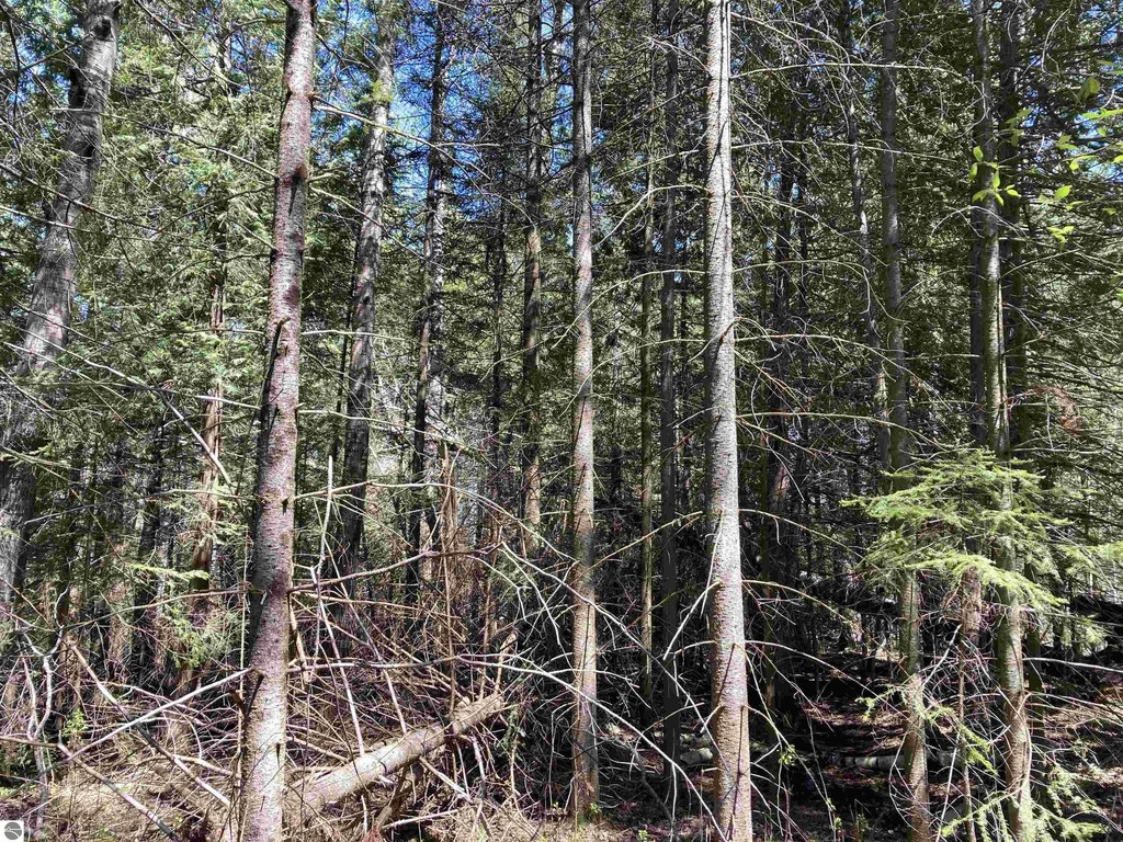
Rolling, Some Low Land Areas, Cleared, Wooded, Evergreens, Rolling, Some Low Land Areas, Cleared, Wooded, Evergreens
Elementary school district
Mio-Ausable Schools
Middle school district
Mio-Ausable Schools
High school district
Mio-Ausable Schools
Directions
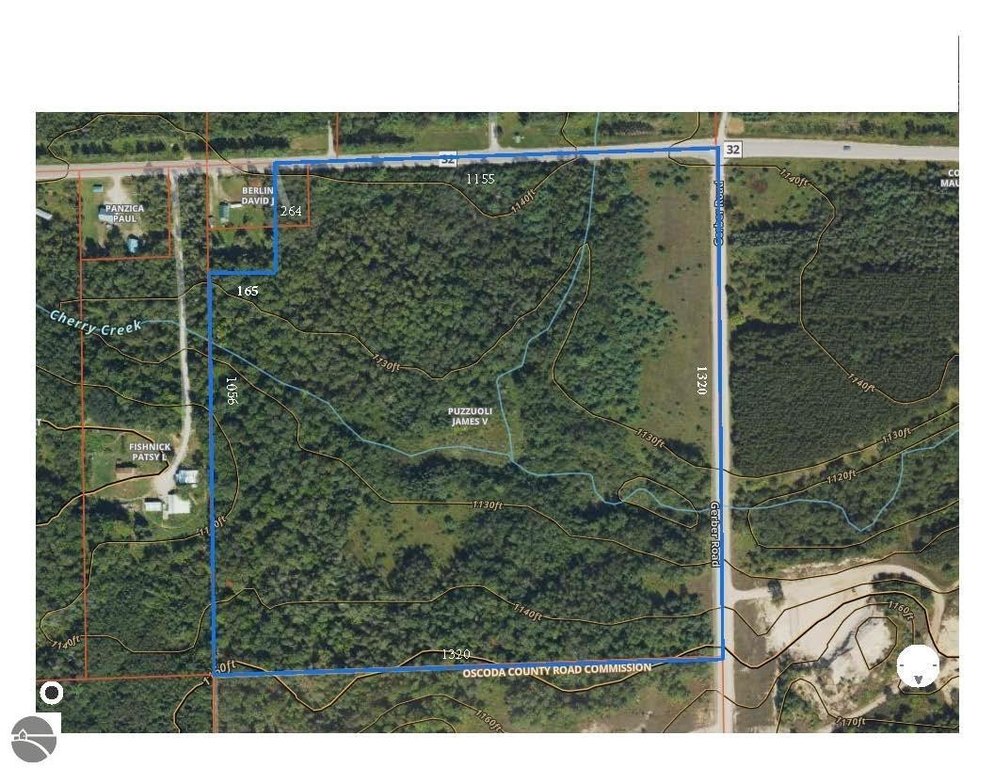
M-33 app. five miles North of Mio, slight left onto North Mount Tom for app 1/3 mile, left on West Miller app. 1 mile to Gerber Road. Property is on the SW corner of Miller and Gerber.
Subdivision
Oscoda
Standard status
Active
Lot size
39.00 Acres
Taxes and HOA fees
Tax Description
T27N R2E SEC 23 - NE 1/4 OF NE 1/4 EXC N 16 RDS OF W 10 RDS. 39 A.
Tax Annual Amount
910
Legal Description
T27N R2E SEC 23 - NE 1/4 OF NE 1/4 EXC N 16 RDS OF W 10 RDS. 39 A.
Utilities
Water front features
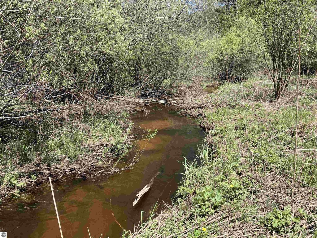
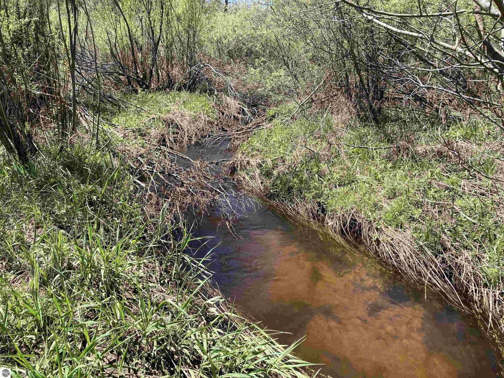
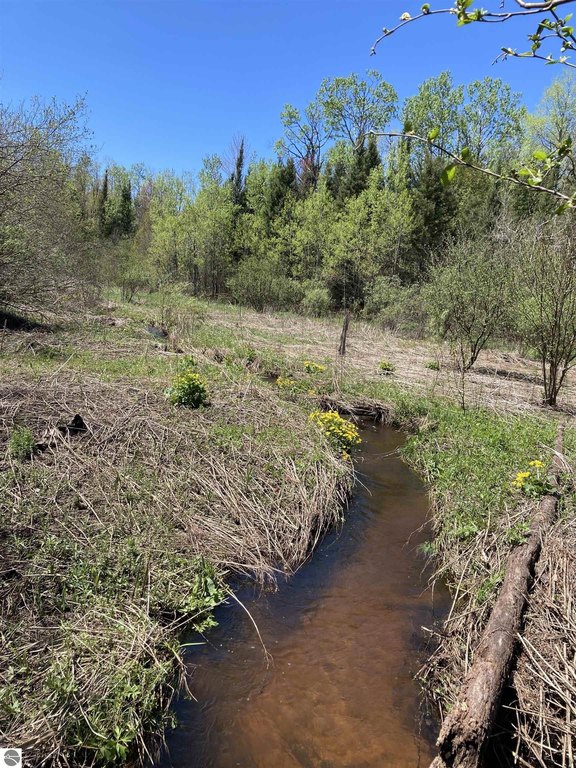
Creek
Water front
1
Listing Agency:
BENJAMIN REALTY
(989) 685-2414
Listed By:
MARK BENJAMIN
(224) 217-7355
Added: Jul 2
Changed: Aug 19
Last Checked: Oct 6 at 1:06AM
MLS# 1942134
Copyright © 2026 Northern Great Lakes Realtors MLS. All rights reserved. All information provided by the listing agent/broker is deemed reliable but is not guaranteed and should be independently verified.
Investment Insights
Based on property information with market context.
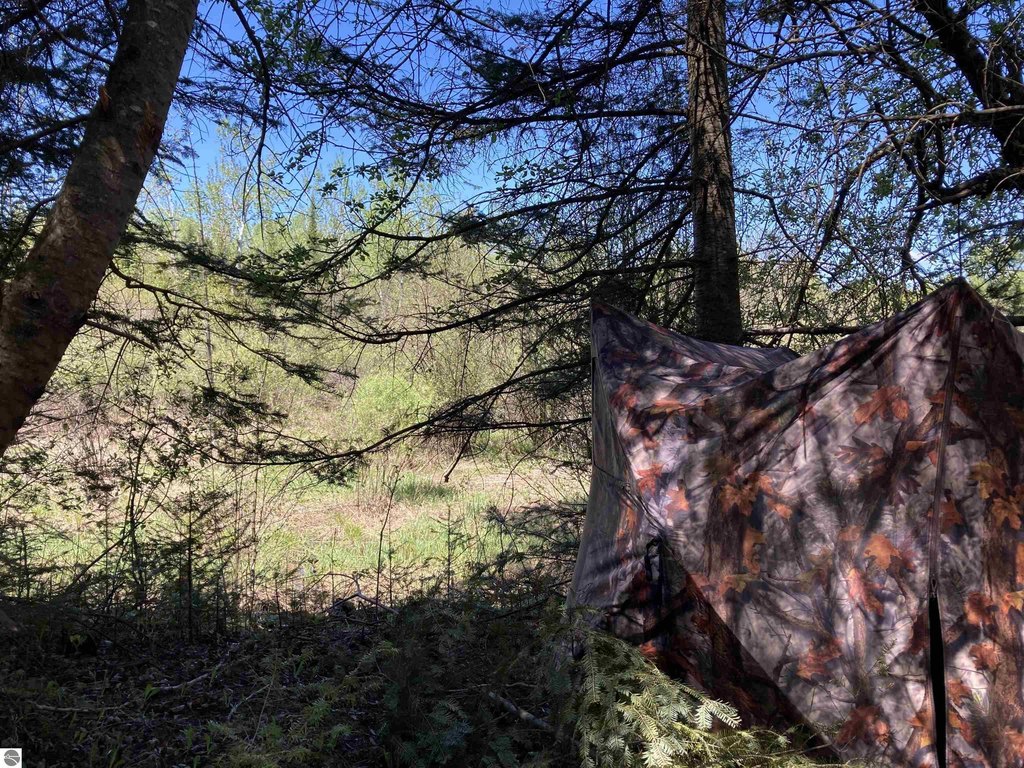
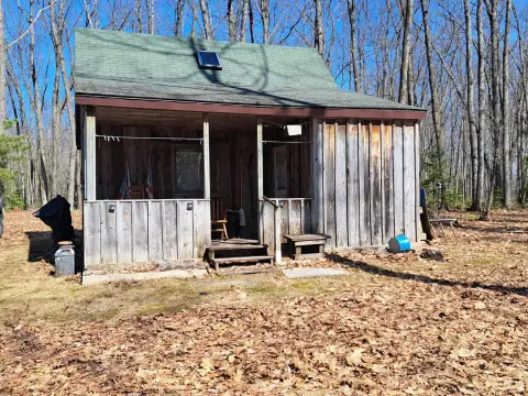
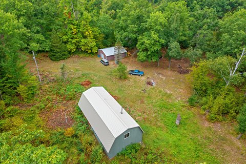
This approximately 39-acre hunting land property combines rolling wooded terrain with a varied mix of fir, spruce, cedar, poplar, open ground, and lower areas. A small creek crosses the parcel, joined by a feeder creek from the north. The property is suited to recreational use and includes several areas described as suitable for a future home or getaway. Power is readily available, and the land is zoned Forest/Recreational, Rural.
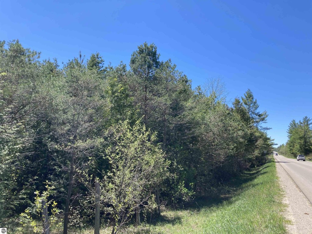
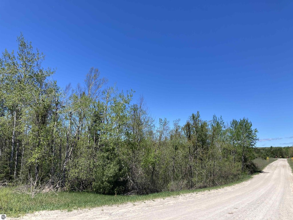
Frontage along both Miller Road and Gerber Road provides access from two roads. The property lies 4–5 miles from Mio or Fairview, with the AuSable River and extensive State and Federal Forest areas nearby. Wildlife habitat noted on the property includes white tail, grouse, and rabbits, with winter cover present.
Frontage along both Miller Road and Gerber Road provides access from two roads. The property lies 4–5 miles from Mio or Fairview, with the AuSable River and extensive State and Federal Forest areas nearby. Wildlife habitat noted on the property includes white tail, grouse, and rabbits, with winter cover present.
Key Highlights
- 39 M/L acres of mostly wooded, rolling land
- Frontage on both Miller Road and Gerber Road
- Small creek crosses the property with a feeder creek from the north
Property Analytics
Unlock full access to Insights
Subscribe to Realmo Intelligence
Open Analytics
Current Use
Lease Details
Yes
Paved road access
Location Intelligence
Trade Area within ½ mile
4
Businesses Nearby
Explore this area
Business Placement
Check the figures for this property
Cap Rate, Value Estimation, Potential NOI and more
View Realmo Analytics

Questions? Ask Rey
Realmo’s AI knows this listing — price, zoning, demand, history. Ask anything.








Frequently Asked Questions
What type of property is this?
Hunting land - Rolling wooded acreage with dual-road frontage, available power, and a creek crossing the property.
Where is this hunting land located?
The property is located at W Miller Road Mio, MI.
What is the asking price?
The asking price for this property is $159,000.
What are key features of this property?
This property features: 39 M/L acres of mostly wooded, rolling land; Frontage on both Miller Road and Gerber Road; Small creek crosses the property with a feeder creek from the north


