Commercial Development Land
For Sale
$3,000,000
W I-10, Fort Stockton, TX 79735
LAND - Fort Stockton, TX
Lot Size37.38 Acres
Days on Market429
Property Features for W I-10
General Information
Property type
Land
Property subtype
Other
Elementary school
Alamo
Middle school
Fort Stockton
High school
Fort Stockton High School
Elementary school district
Fort Stockton ISD
Middle school district
Fort Stockton ISD
High school district
Fort Stockton ISD
Subdivision
Fort Stockton
Standard status
Active
Lot size
37.38 Acres
Taxes and HOA fees
Tax Description
Tract 2, North to North Right-of-way line of US I-H 10 and West of 7-D Rd., Approx. 37.38 AC, Parcel #47370/47374/47371/47372/47369, Pecos County.
Legal Description
Tract 2, North to North Right-of-way line of US I-H 10 and West of 7-D Rd., Approx. 37.38 AC, Parcel #47370/47374/47371/47372/47369, Pecos County.
Utilities
Utilities
Electricity Available
Water source
Public
Listing Agency:
Sadler & Associates LLC
(432) 336-9978
Listed By:
Team Sadler at Sadler & Associates LLC
(432) 336-9978
Added: May 29, 2025
Changed: Jun 11
Last Checked: Jul 31 at 11:06AM
MLS# 50082490
Copyright © 2026 Permian Basin Board of Realtors. All rights reserved. All information provided by the listing agent/broker is deemed reliable but is not guaranteed and should be independently verified.
Investment Insights
Based on property information with market context.
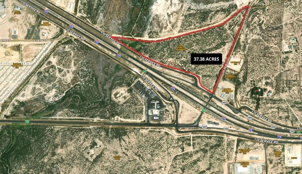
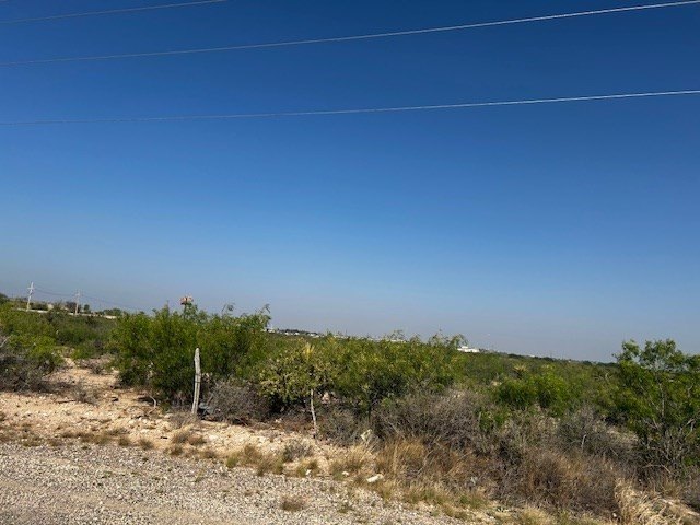
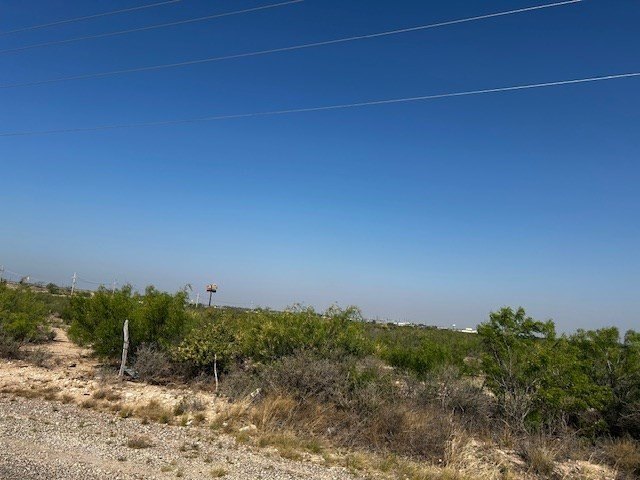
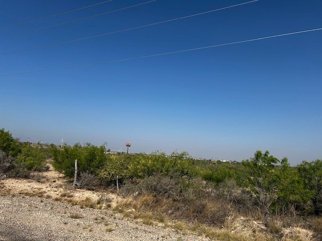
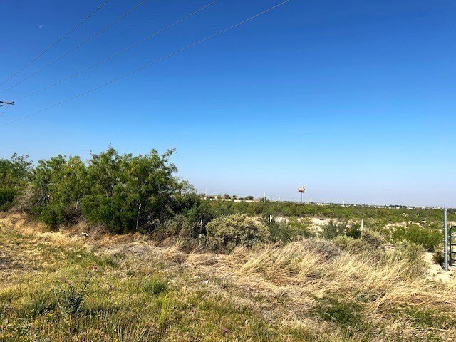
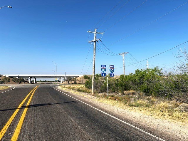
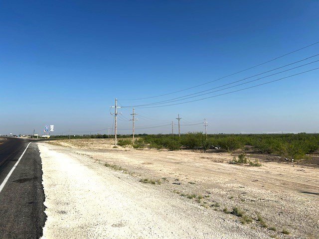
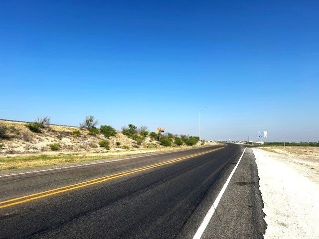
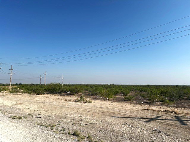
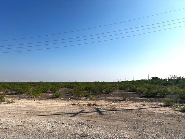
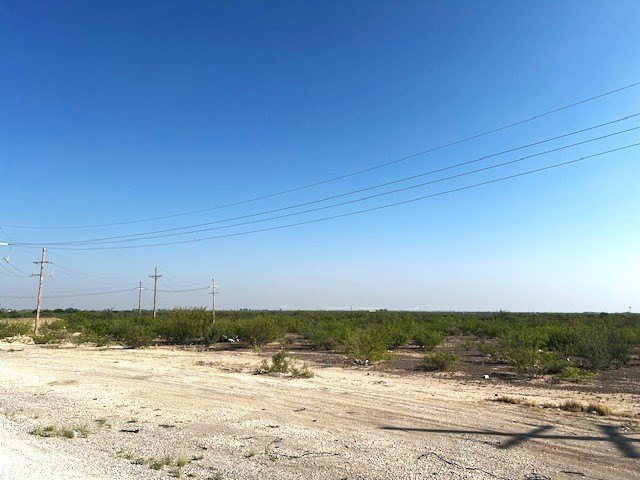
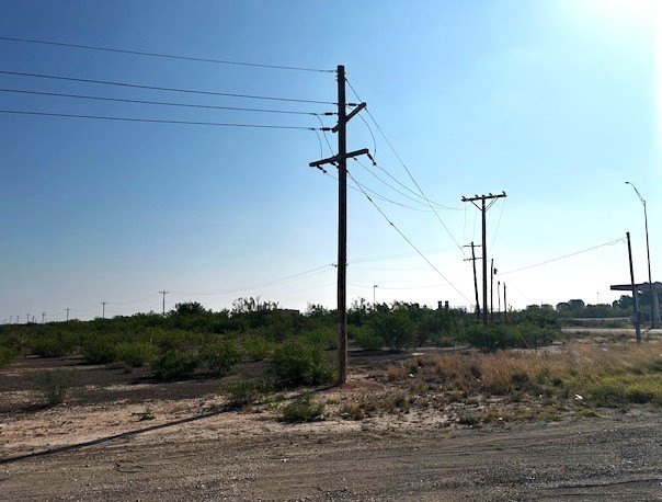
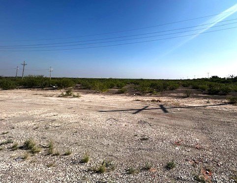
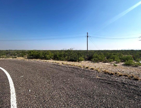
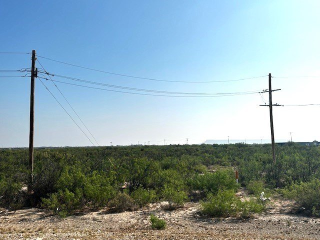
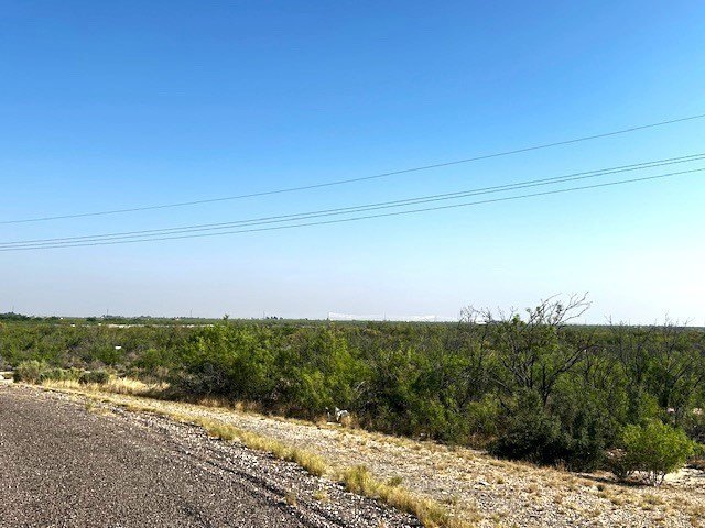
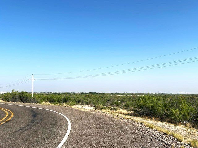
This offering is a 37.38-acre commercial land tract presented for development in Fort Stockton, Texas. The property is vacant and offers a single, large site configuration suitable for a variety of commercial uses, with flexibility highlighted in the remarks.
The land is located along Interstate 10, providing direct access to the corridor. The location in the I-10 area is intended to support strong regional connectivity, with the site positioned to serve commercial development along the route.
The tract is being marketed as a commercial development opportunity for uses such as hospitality, retail, industrial, and logistics, as referenced in the remarks. Prospective buyers should evaluate site planning and development feasibility for their intended program, leveraging the large, contiguous acreage and Interstate 10 frontage described for the property.
Key Highlights
- 37.38‑acre commercial development tract along I‑10
- Utilities include electricity; water source is public
- No height restrictions and no building‑density limitations reported
Property Analytics
Current Use
Lease Details
Yes
Highway access
Yes
Paved road access
Location Intelligence
Trade Area within ½ mile
15
Businesses Nearby
Explore this area
Business Placement
Demographics for 79735, TX
13,088
Population
4,959
Households
2.6
Avg Household Size
38
Median Age
13%
College-Educated
79%
High-School Grad
1,238.4 sq mi
ZIP Area
11
Density / Sq Mi
$69,902
Median Household Income
$41,890
Median Earnings
$978
Median Rent
$151,600
Median Home Value
Market
Vacancy Rate% for Industrial in South region

Questions? Ask Rey
Realmo’s AI knows this listing — price, zoning, demand, history. Ask anything.


Frequently Asked Questions
What type of property is this?
Commercial land - A 37.38-acre commercial land parcel with Interstate 10 access for flexible development planning.
Where is this commercial land located?
The property is located at W I-10 Fort Stockton, TX.
What is the asking price?
The asking price for this property is $3,000,000.
What are key features of this property?
This property features: 37.38‑acre commercial development tract along I‑10; Utilities include electricity; water source is public; No height restrictions and no building‑density limitations reported


