Forested Land with Highway
For Sale
$258,055
Us Hwy 160, Gainesville, MO 65655
Land, Gainesville, MO
Property SizeContact for details
Lot Size73.00 Acres
Days on Market95
Property Features for Us Hwy 160
General Information
Property type
Land
Property subtype
Other
Zoning
Not Zoned
Lot features
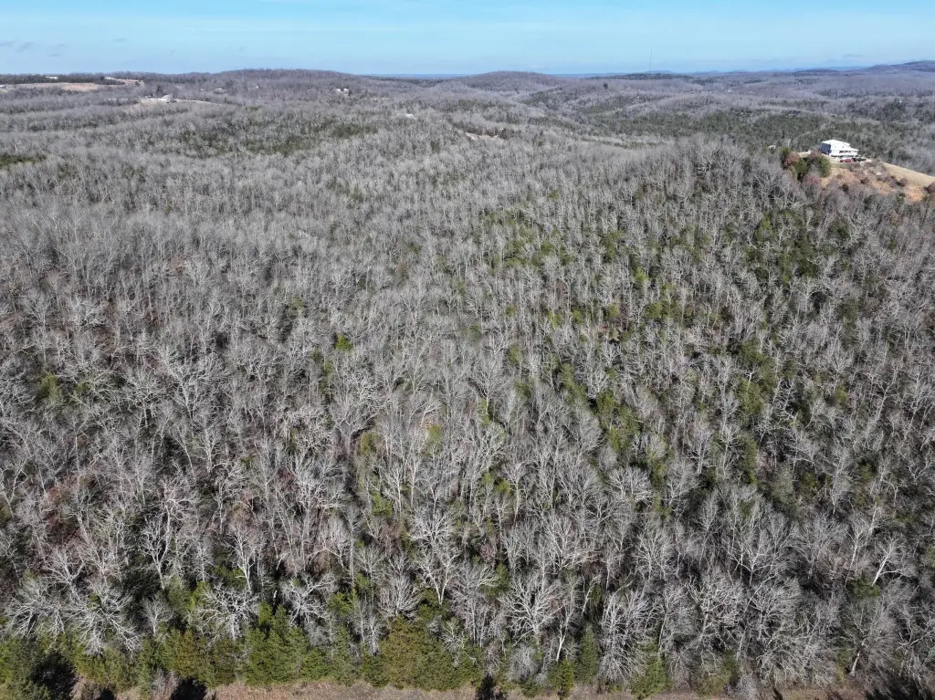
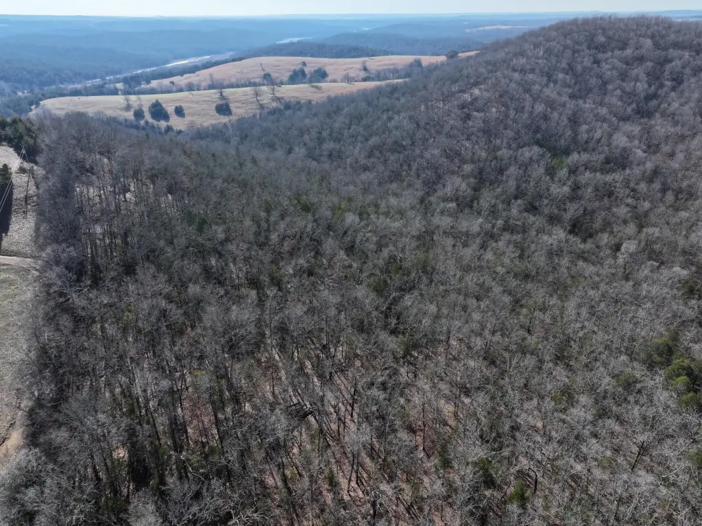
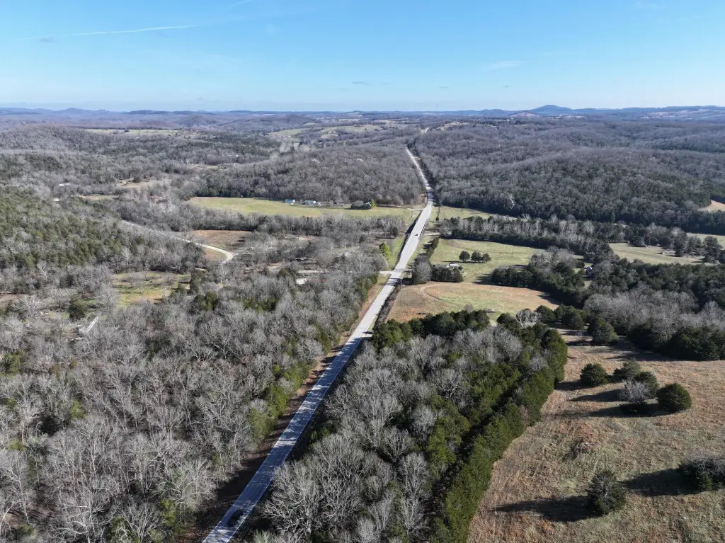
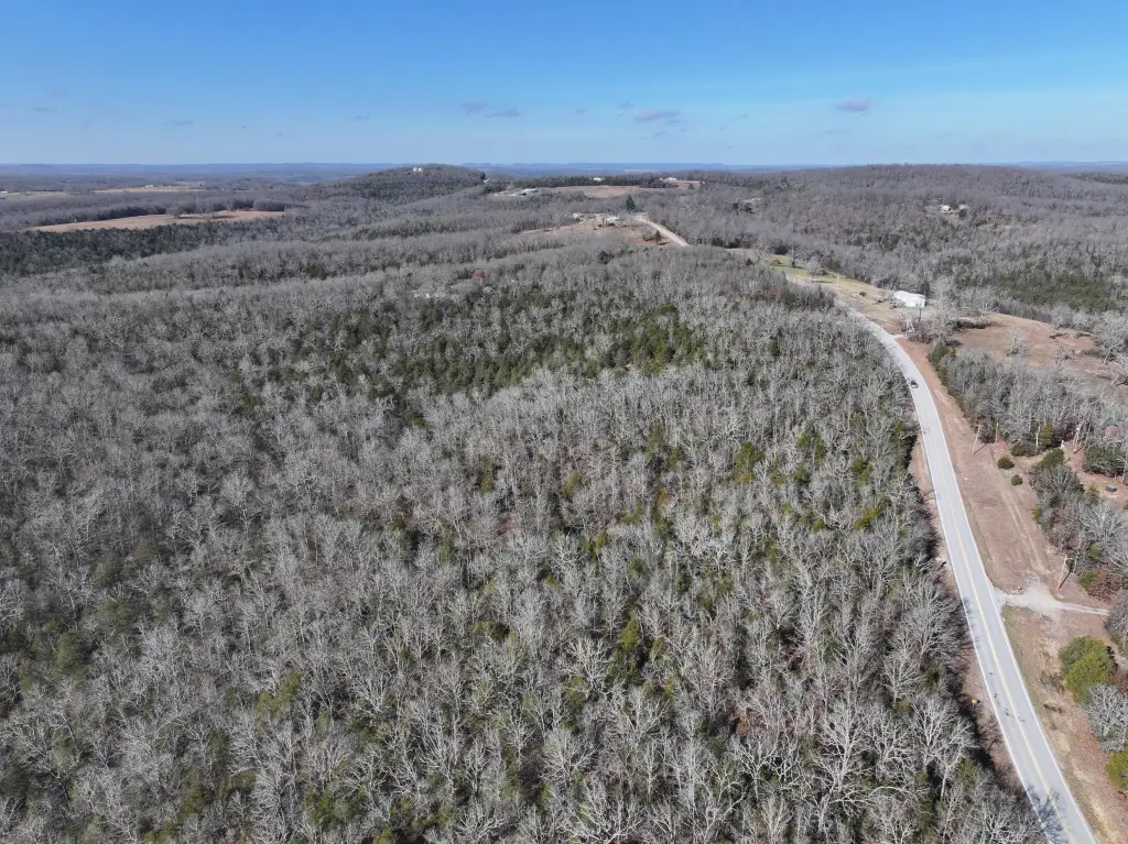
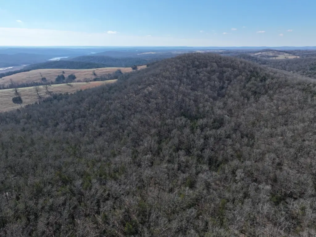
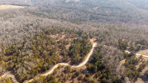
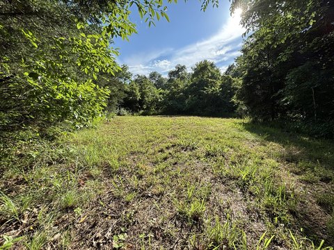
Acreage, Hilly, Secluded, Young Trees, Wet Weather Creek, Horses Allowed, Water View, Valley View, Few Trees, Mature Trees, Wooded
Elementary school
Lutie
Middle school
Lutie
High school
Lutie
Directions
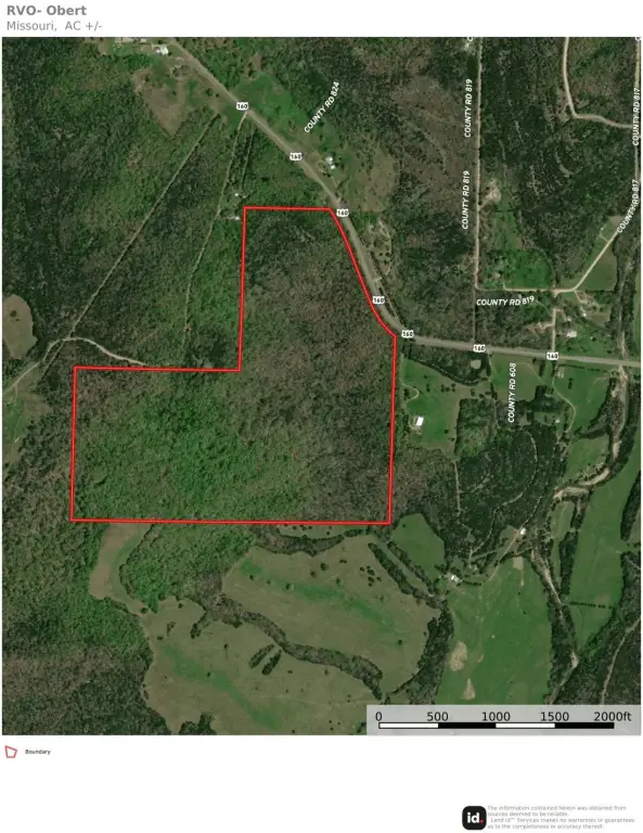
From Intersection Of Highway 5 N and US Highway 160, travel west towards Theosodsia. Property is 8.3 miles on the south side of the road (near Turkey Creek Resort signage.) Park at culvert.
Standard status
Active
APN
17-0.6-14-000-000-008.001
Lot size
73.00 Acres
Taxes and HOA fees
Tax Year
2025
Tax Description
SE NE WEST OF HIGHWAY-, 33 Acres inParcel #17-0.6-14-000-000-008.00140 acres in S1/2 SE; N1/2 SES14-T22-R15,Parcel #17-0.6-14-000-000-011.000
Tax Annual Amount
42
Legal Description
SE NE WEST OF HIGHWAY-, 33 Acres inParcel #17-0.6-14-000-000-008.00140 acres in S1/2 SE; N1/2 SES14-T22-R15,Parcel #17-0.6-14-000-000-011.000
Listing Agency:
United Country Missouri Ozarks Realty Inc.
(417) 256-1000
Listed By:
Debra Schilling Smith · License #2017039697
(417) 251-5081
Added: Jul 3
Changed: Sep 21
Last Checked: Oct 5 at 10:06AM
MLS# 60328016
Copyright © 2026 Southern Missouri Regional MLS, LLC (SOMO). All rights reserved. All information provided by the listing agent/broker is deemed reliable but is not guaranteed and should be independently verified.
Investment Insights
Based on property information with market context.
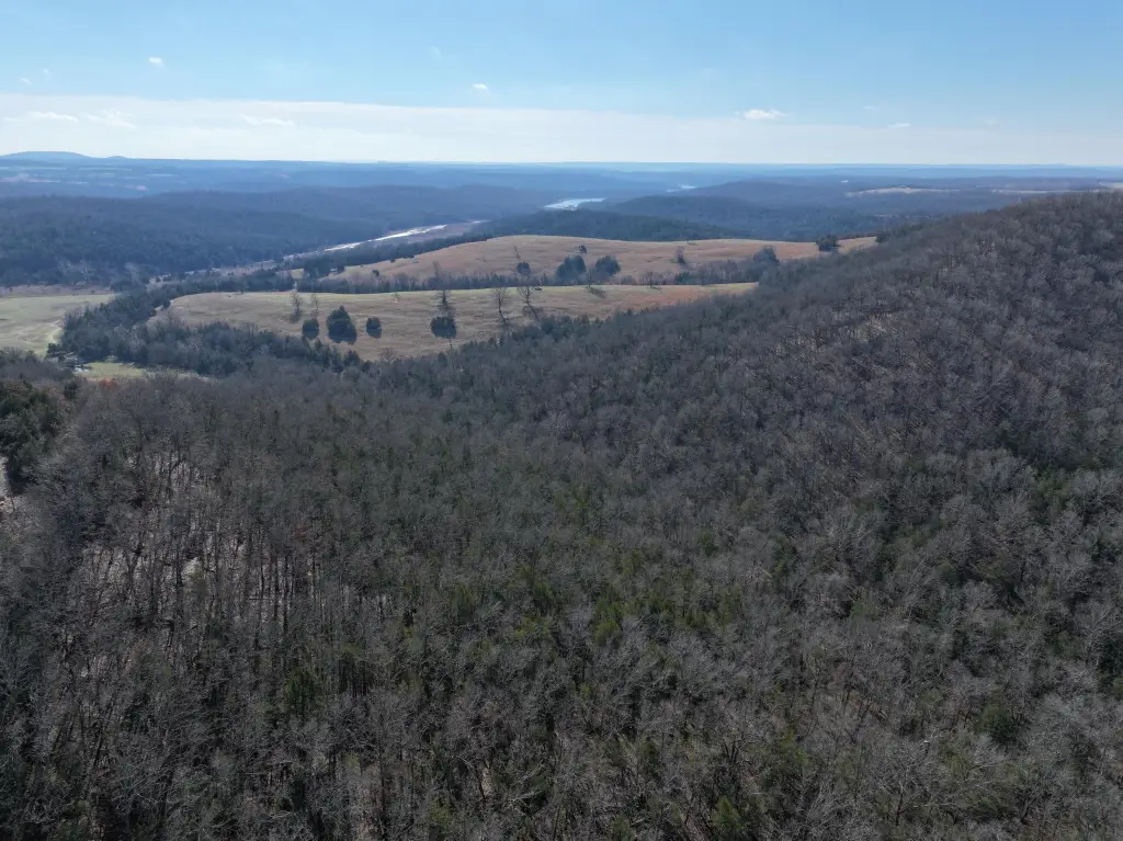
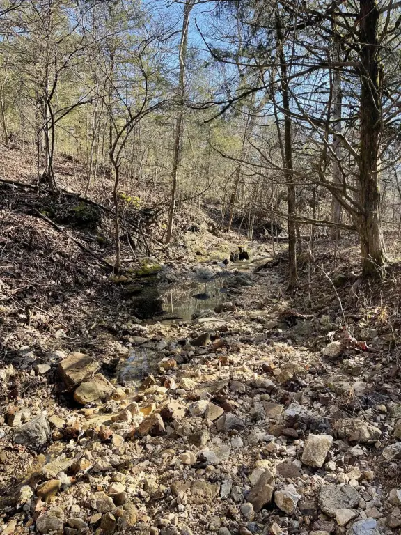
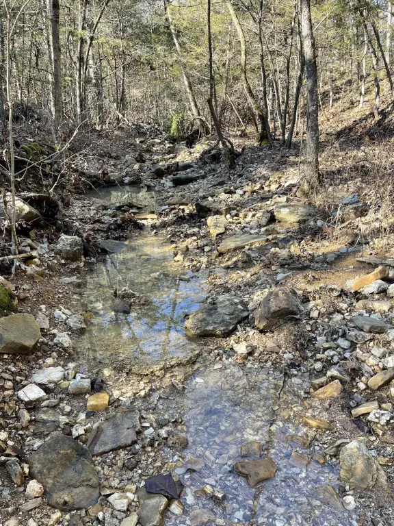
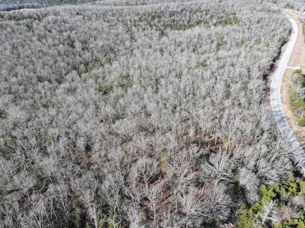
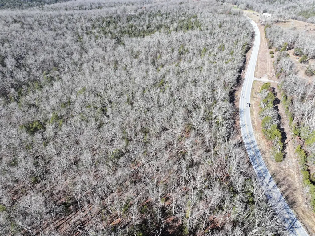
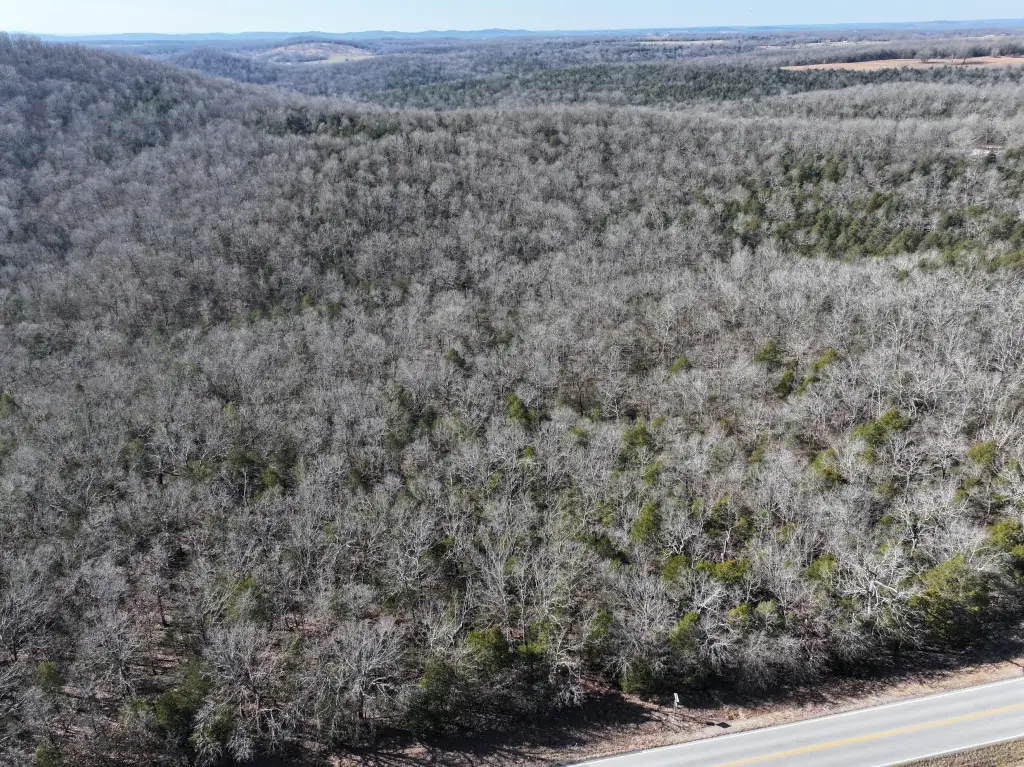
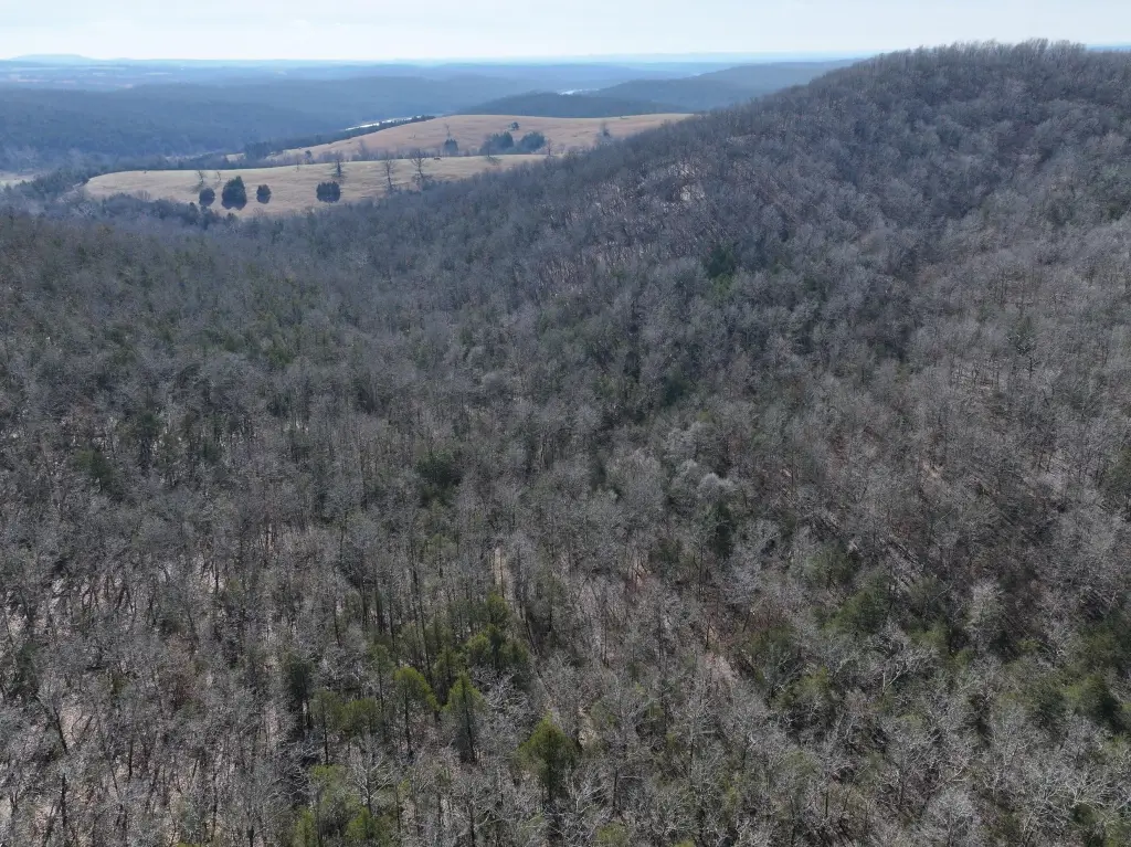
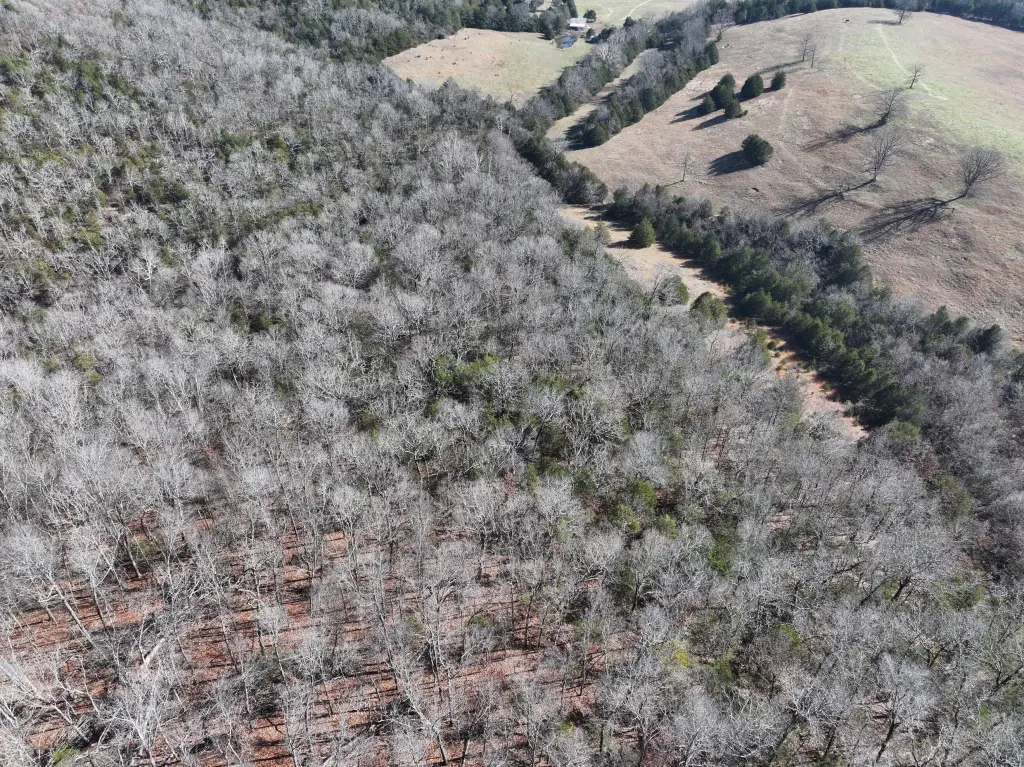
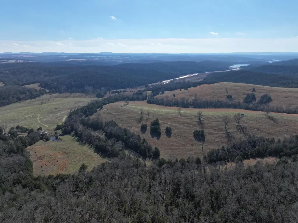
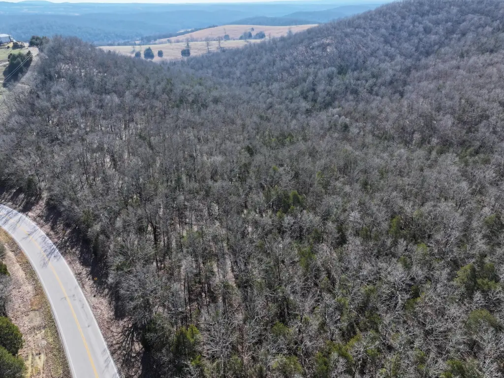
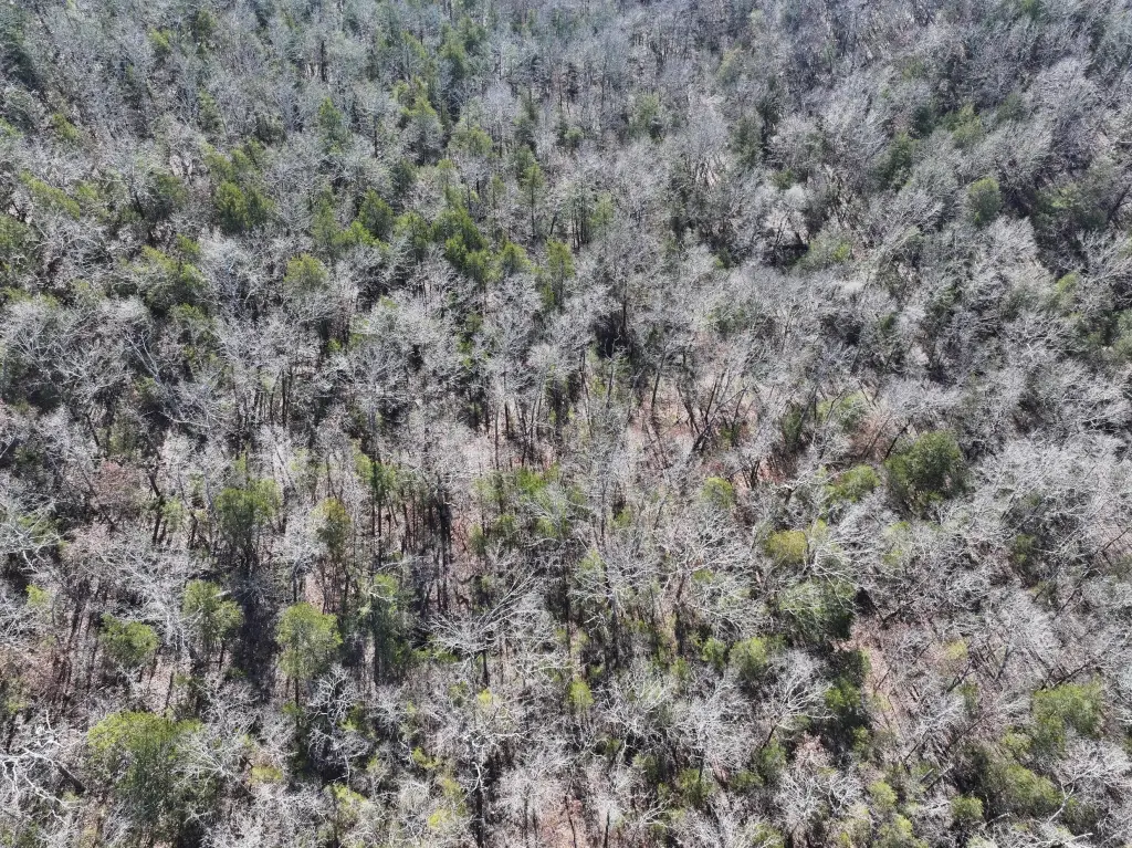
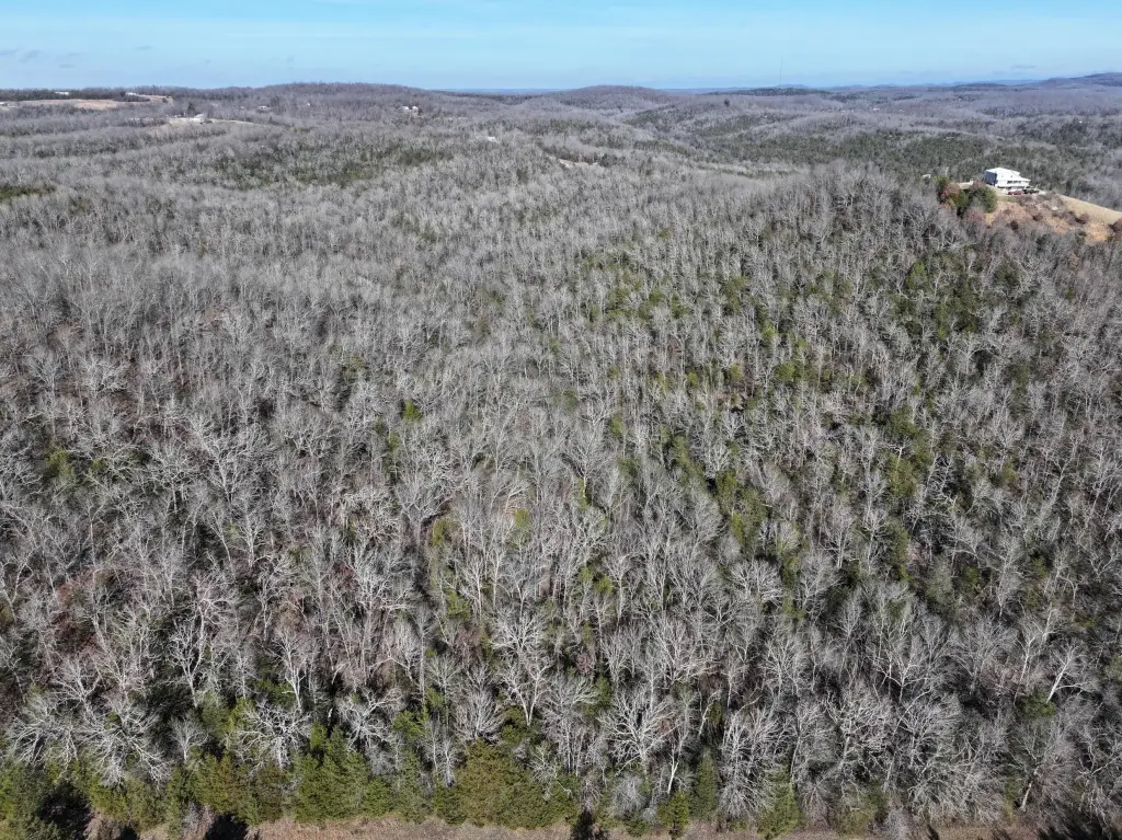
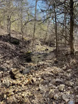
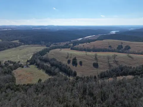
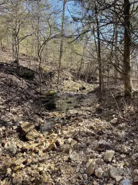
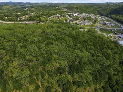
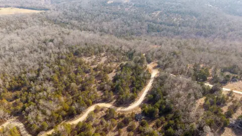
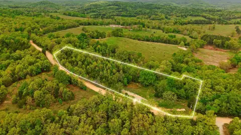
This 73-acre tract in Ozark County features mature forest with hardwoods and cedar, rolling terrain, peaks, and multiple potential building sites. Two wet-weather creeks cross the property and flow toward Spring Creek. The land has remained largely untouched for 40–50 years and supports deer, turkey, and other game. Its varied terrain can accommodate recreational use, hunting, farming, or a private homestead, subject to applicable requirements.
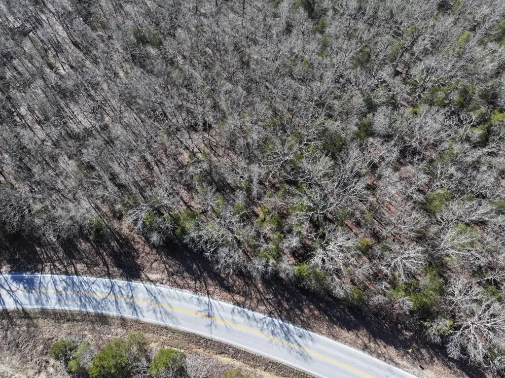
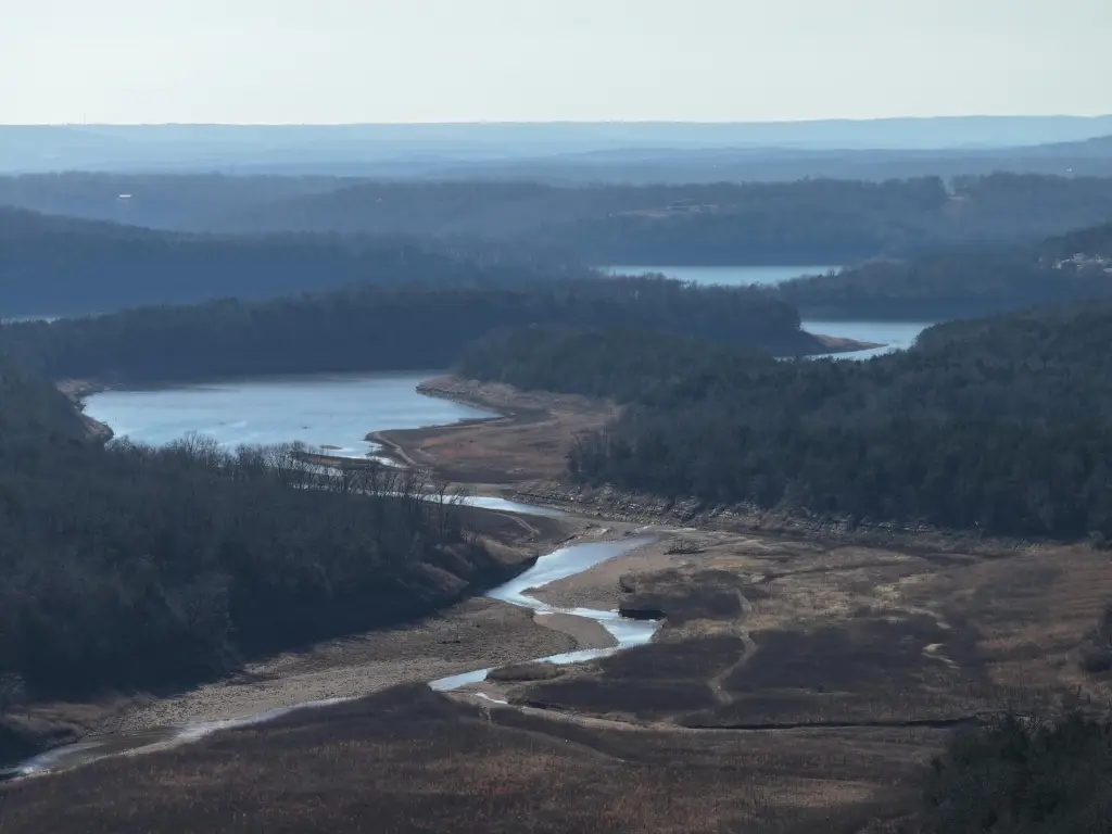
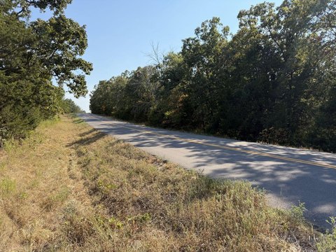
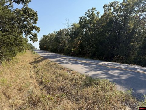
The property includes approximately 0.2 miles of frontage on US Highway 160, with electricity available along the highway. It is positioned between Gainesville and Theodosia, with grocery stores, restaurants, boat launches, and a golf course within a 15-minute drive. Bull Shoals Lake and Spring Creek are visible from elevated portions of the property. The land is not zoned.
The property includes approximately 0.2 miles of frontage on US Highway 160, with electricity available along the highway. It is positioned between Gainesville and Theodosia, with grocery stores, restaurants, boat launches, and a golf course within a 15-minute drive. Bull Shoals Lake and Spring Creek are visible from elevated portions of the property. The land is not zoned.
Key Highlights
- 73 M/L acres of forested land in Ozark County, Missouri
- Approximately .2 miles of US Highway 160 frontage
- Two wet‑weather creeks flow into Spring Creek
Property Analytics
Unlock full access to Insights
Subscribe to Realmo Intelligence
Open Analytics
Current Use
Lease Details
Yes
Highway access
Yes
Paved road access
Yes
Utilities to site
Location Intelligence
Trade Area within ½ mile
1
Businesses Nearby
Explore this area
Business Placement
Demographics for 65655, MO
2,806
Population
1,244
Households
2.3
Avg Household Size
50
Median Age
10%
College-Educated
77%
High-School Grad
203.2 sq mi
ZIP Area
14
Density / Sq Mi
$32,929
Median Household Income
$23,958
Median Earnings
$623
Median Rent
$162,000
Median Home Value
Check the figures for this property
Cap Rate, Value Estimation, Potential NOI and more
View Realmo Analytics

Questions? Ask Rey
Realmo’s AI knows this listing — price, zoning, demand, history. Ask anything.
Frequently Asked Questions
What type of property is this?
Land - Wooded Missouri tract with rolling terrain, wet-weather creeks, multiple building sites, and electricity available along the highway.
Where is this land located?
The property is located at Us Hwy 160 Gainesville, MO.
What is the asking price?
The asking price for this property is $258,055.
What are key features of this property?
This property features: 73 M/L acres of forested land in Ozark County, Missouri; Approximately .2 miles of US Highway 160 frontage; Two wet‑weather creeks flow into Spring Creek



