Agricultural Land with Lake Front
For Sale
$370,000
Pending
US Hwy 12, Waubay, SD 57273
LAND - Waubay, SD
Property SizeContact for details
Lot Size100.00 Acres
Days on Market186
Property Features for US Hwy 12
General Information
Property type
Land
Property subtype
Other
View
Water, Lake
Standard status
Pending
APN
071153000
Lot size
100.00 Acres
Taxes and HOA fees
Tax Annual Amount
747
Utilities
Water front features
Lake Front
Water front
1
Listing Agency:
Whitetail Properties Real Estate, LLC
(217) 285-9000
Listed By:
Katie Graeb
(724) 237-6308
Added: Feb 16
Changed: Aug 17
Last Checked: Aug 21 at 2:06AM
MLS# 11655775
Copyright © 2026 My State MLS. All rights reserved. All information provided by the listing agent/broker is deemed reliable but is not guaranteed and should be independently verified.
Investment Insights
Based on property information with market context.
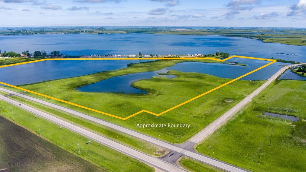
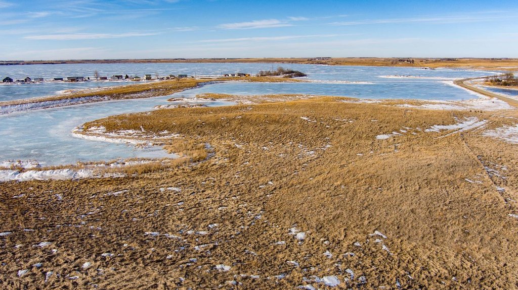
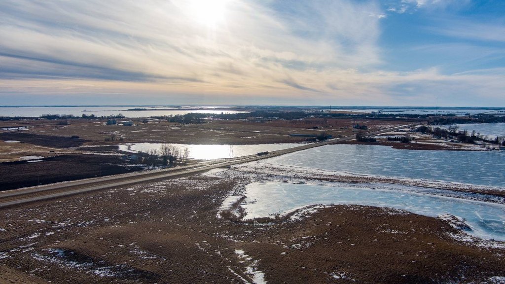
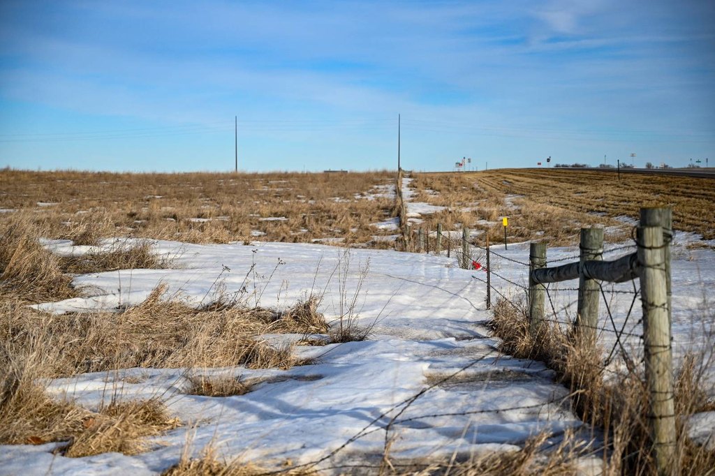
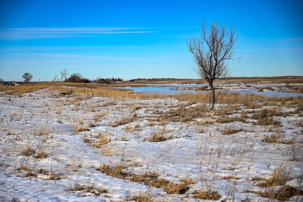
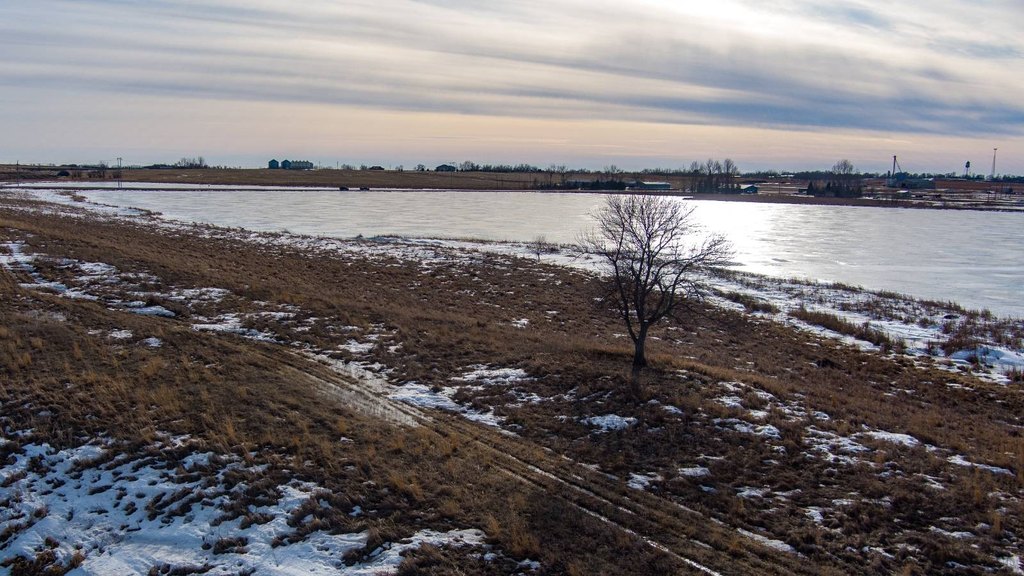
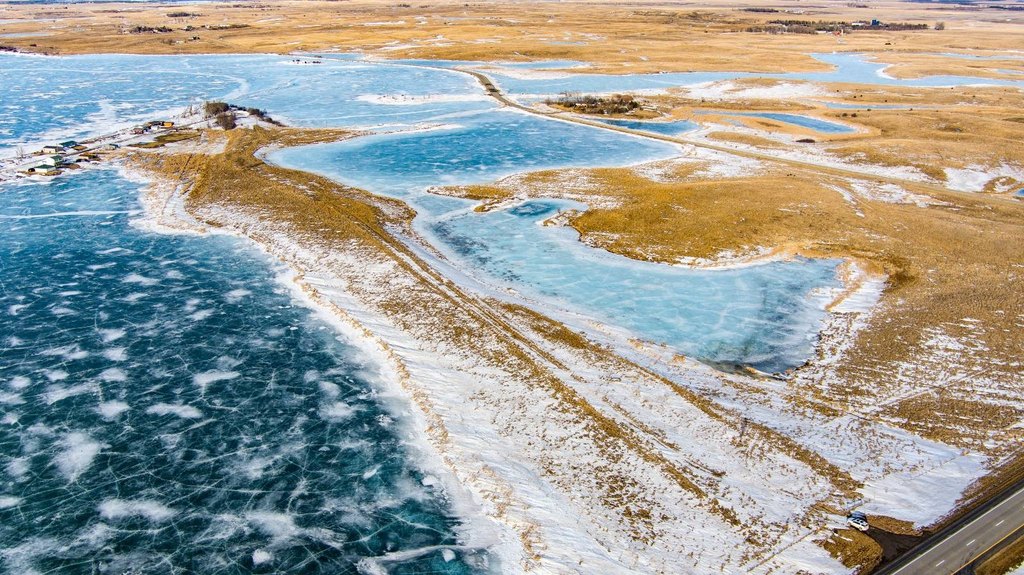
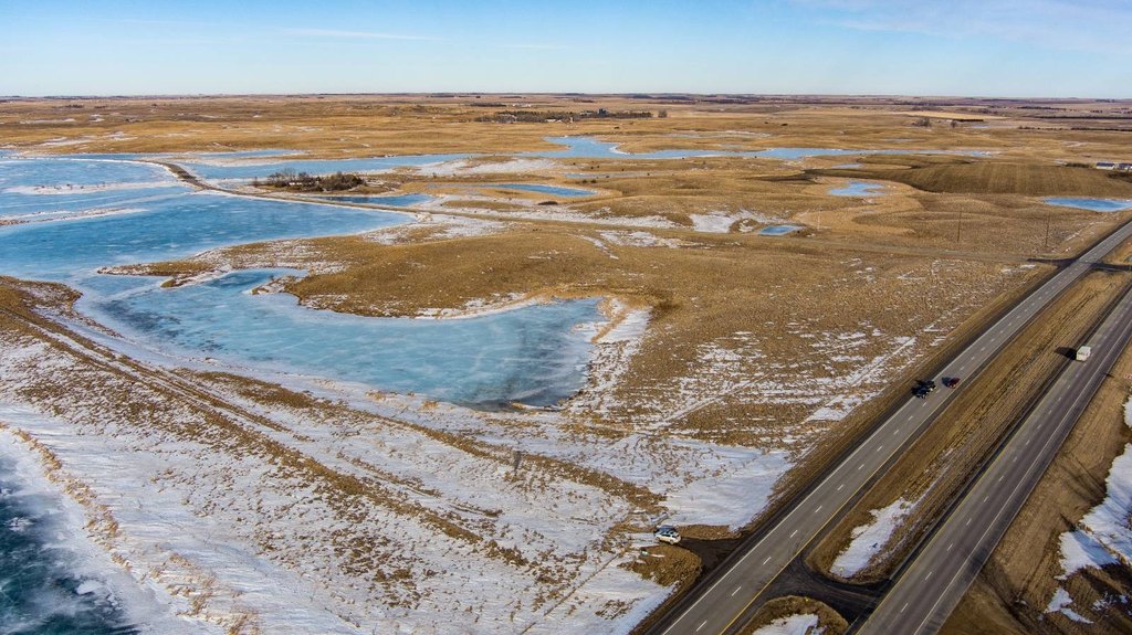
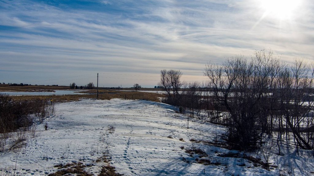
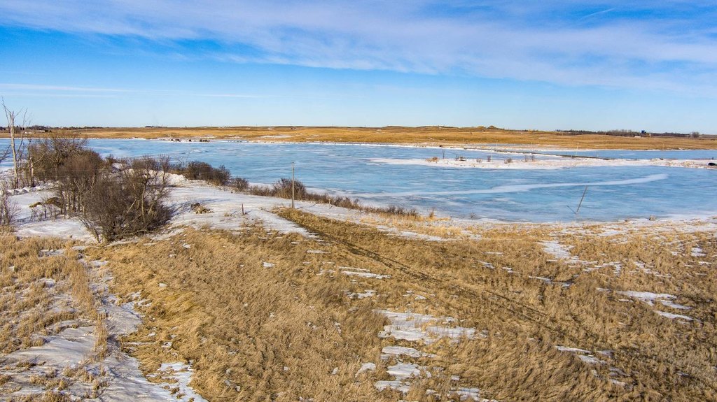
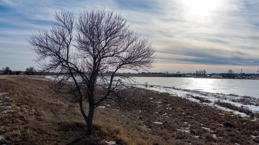
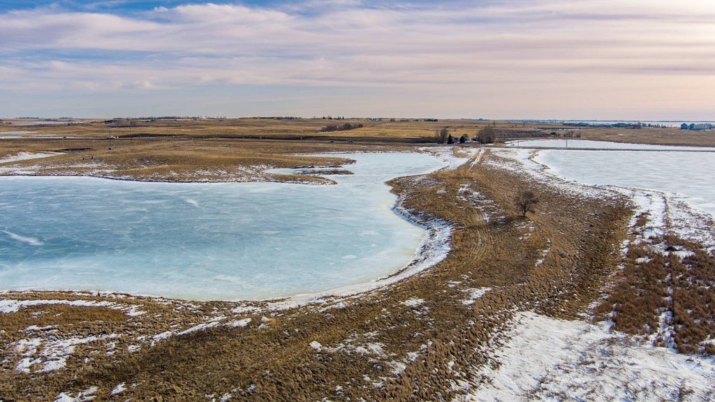
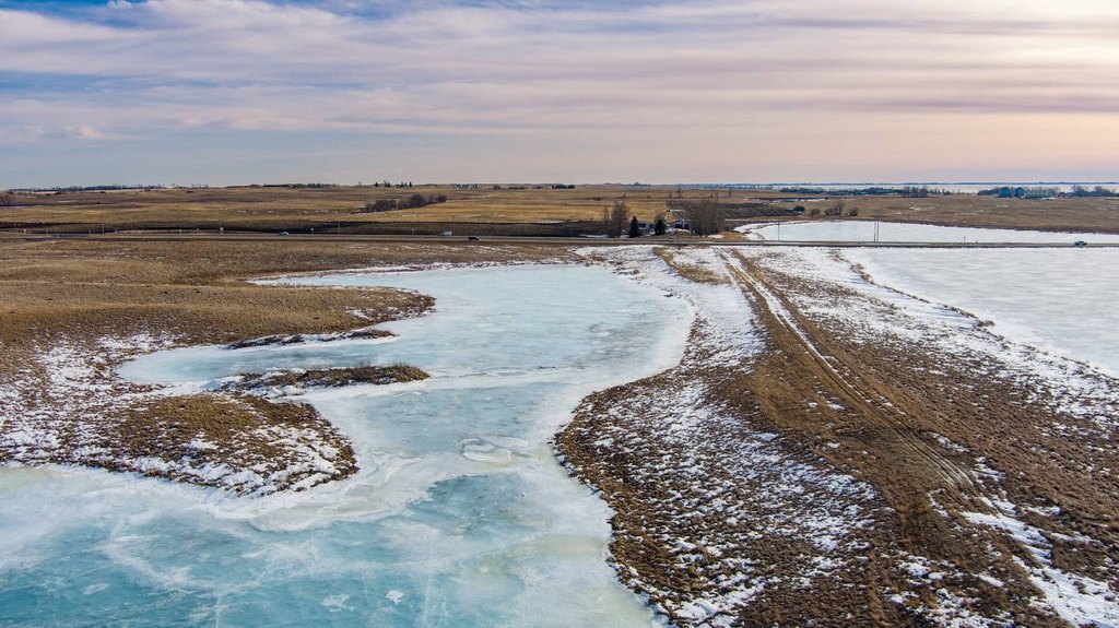
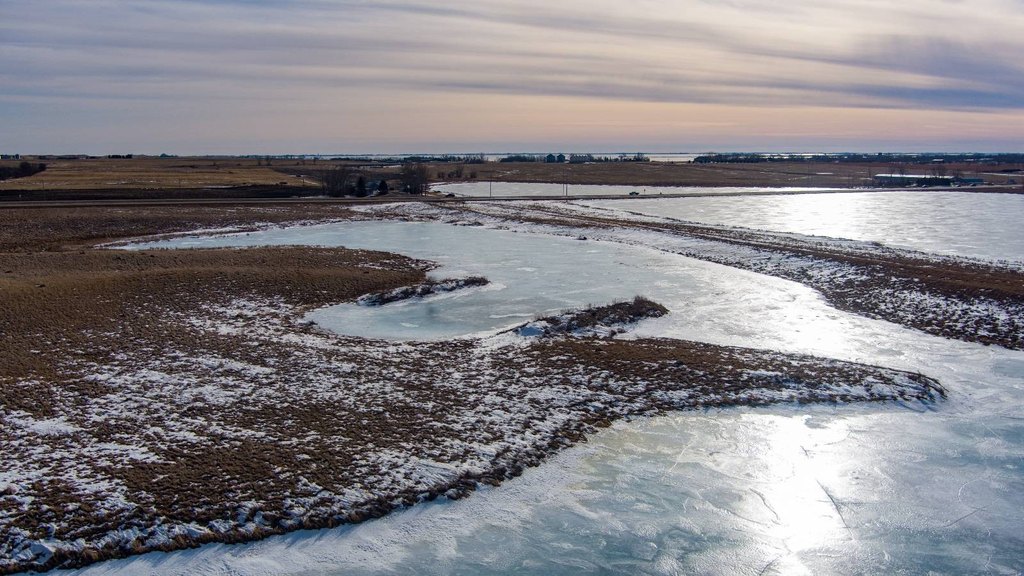
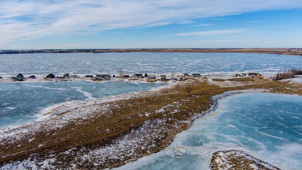
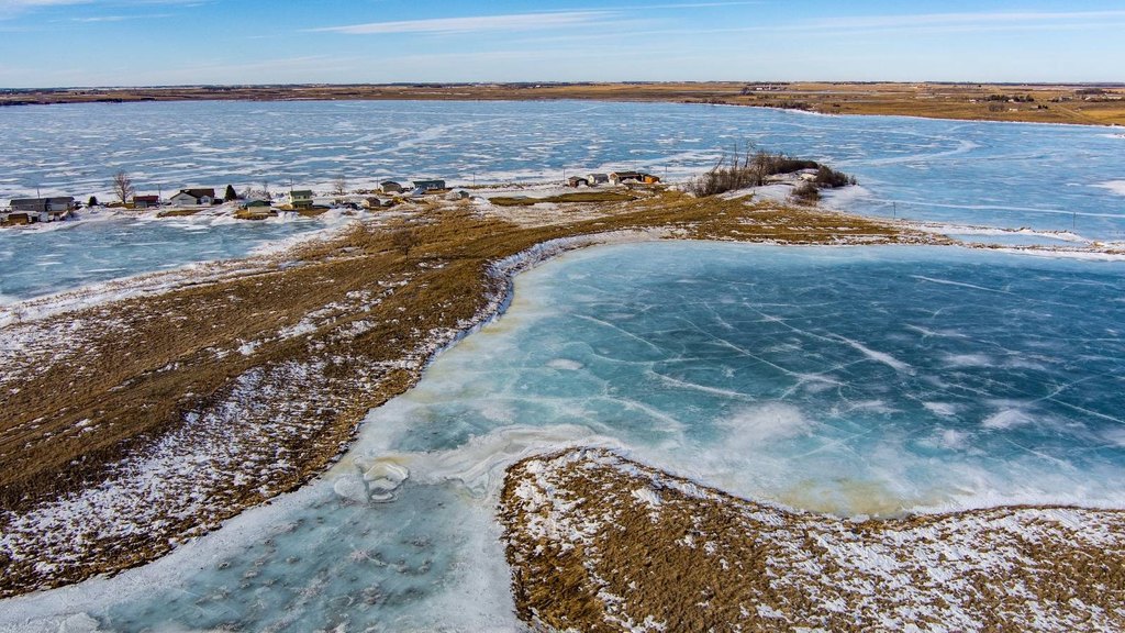
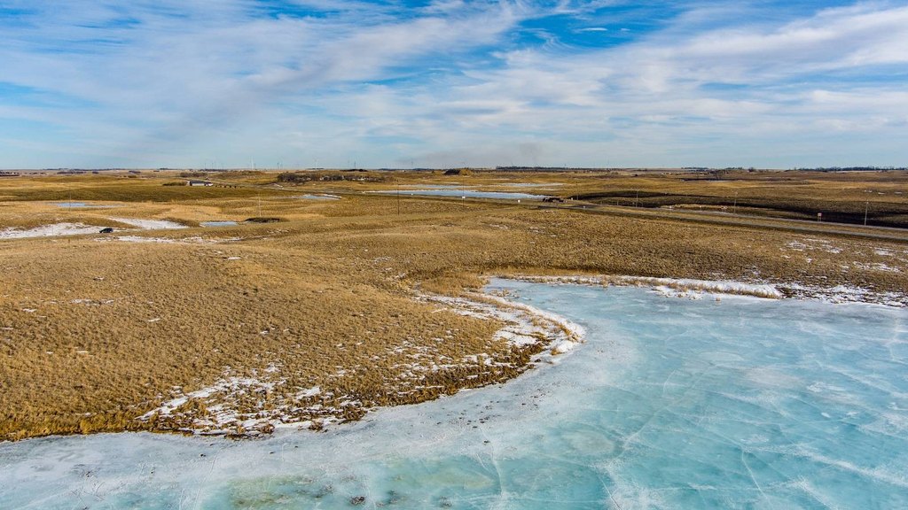
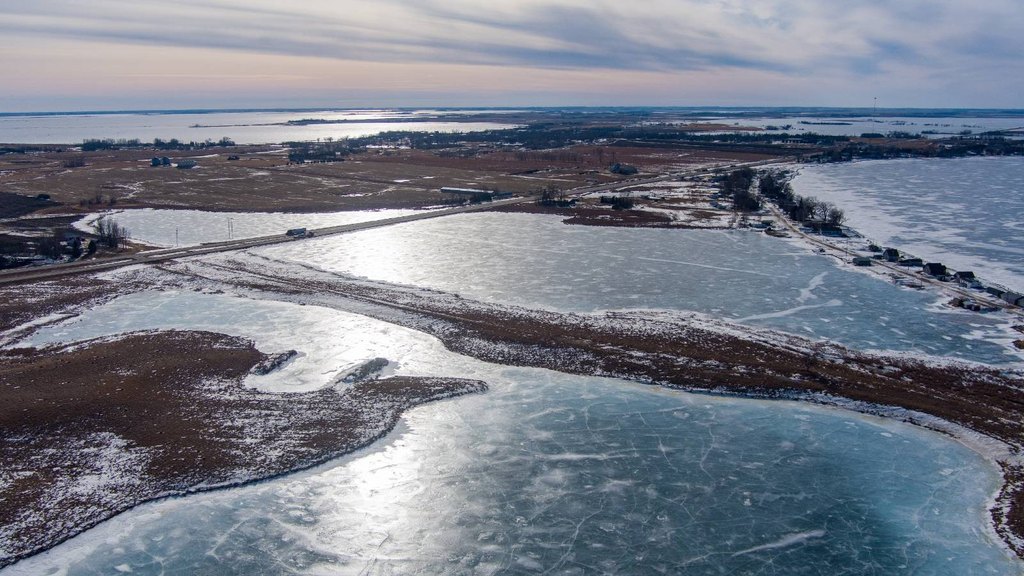
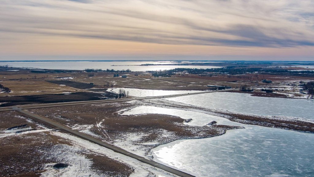
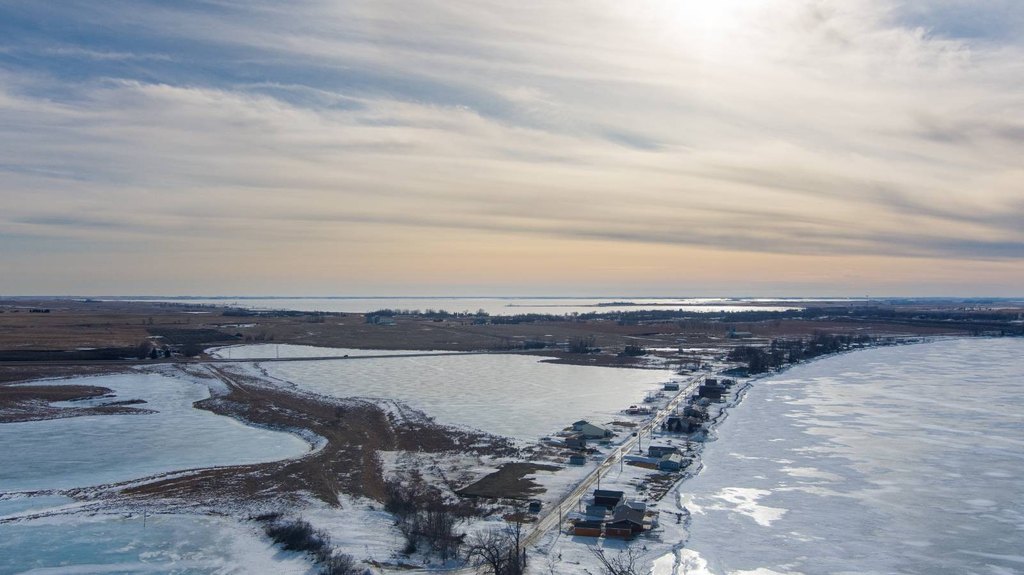
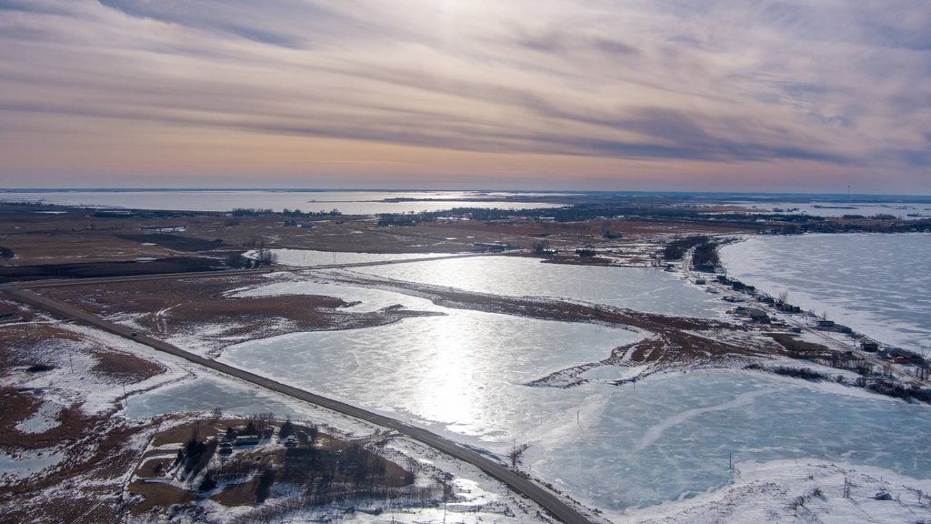
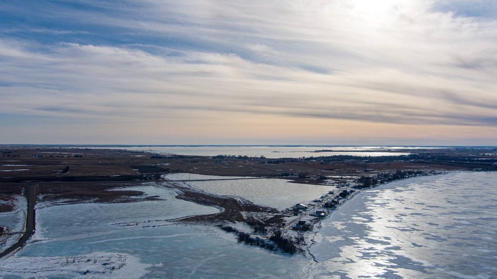
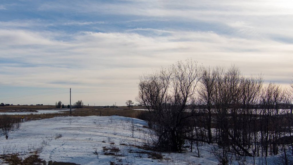
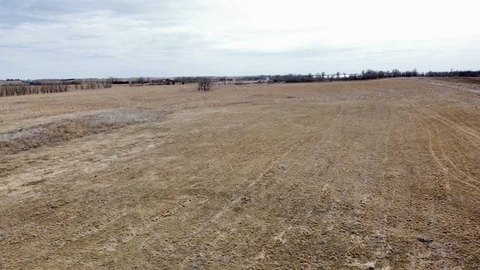
A 100-acre agricultural land tract just outside Waubay, South Dakota, offering pasture ground combined with surface water features and partial fencing. The property includes areas of open grassland and conservation acreage, with approximately 23.7 acres enrolled in the Conservation Reserve Program (CRP). The CRP component supports soil conservation and provides cover and nesting areas for upland birds and other wildlife. Pasture areas can be used for grazing or hay production depending on the owner’s objectives.
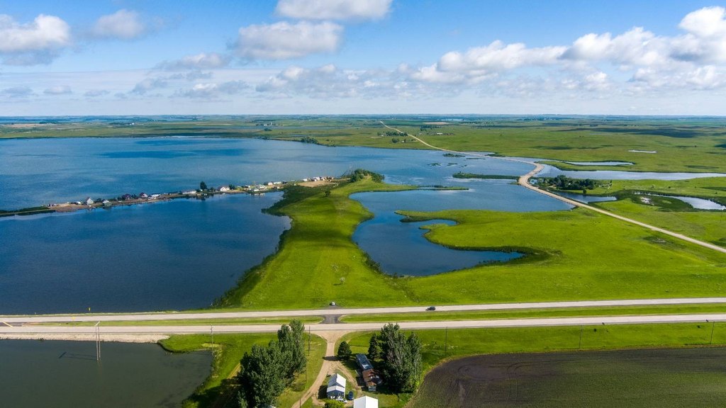
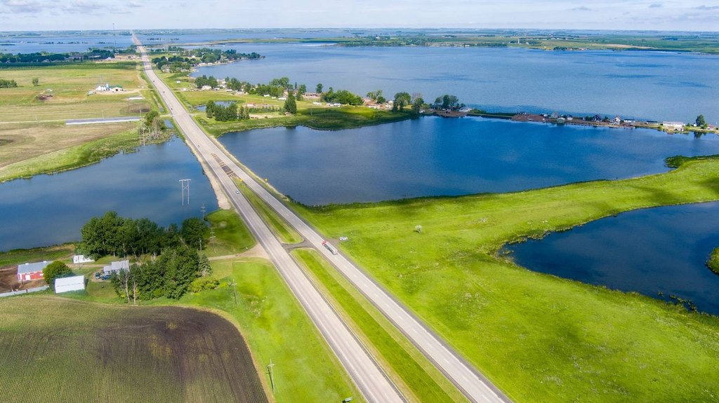
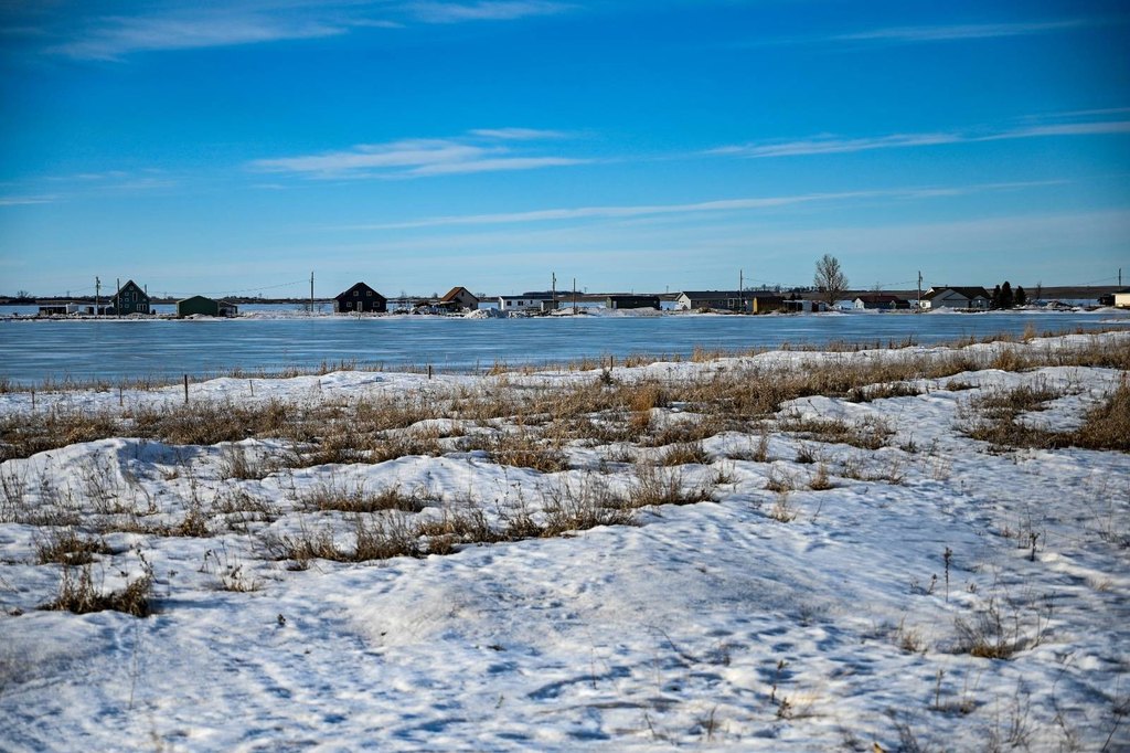
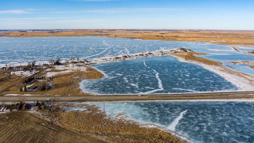
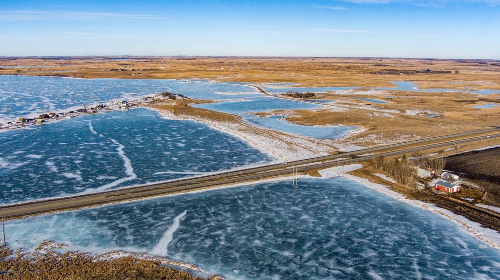
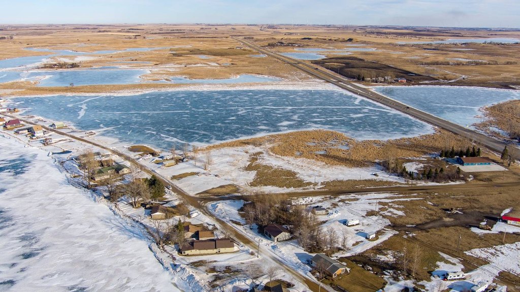
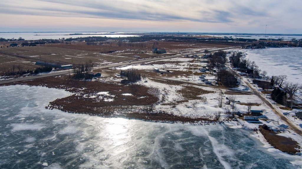
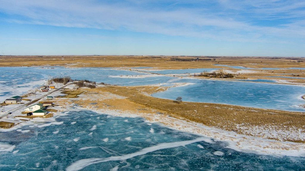
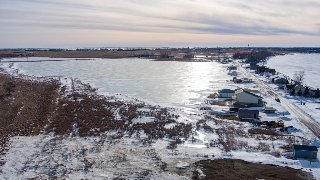
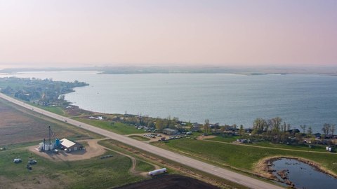
Access is supported by the property’s convenient location along U.S. Highway 12, with the acreage positioned between the highway and Blue Dog Lake. Blue Dog Lake lies directly to the north and is known for fishing, boating, and water recreation. The surrounding landscape supports wildlife including deer, waterfowl, and upland game.
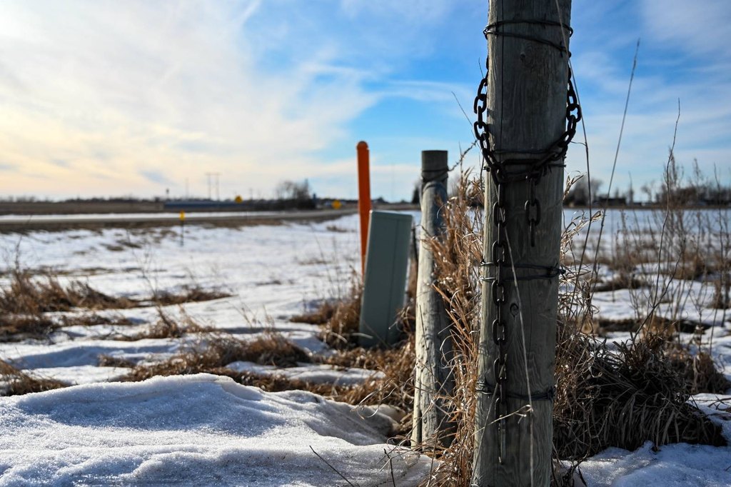
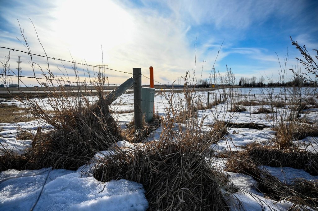
The combination of pasture, CRP habitat, and water features creates a tract suited to agricultural use and seasonal outdoor recreation, including hunting. Partial fencing provides a foundation for cattle or grazing operations, with flexibility for a new owner to complete or modify fencing based on management goals. Property is located in Day County.
Access is supported by the property’s convenient location along U.S. Highway 12, with the acreage positioned between the highway and Blue Dog Lake. Blue Dog Lake lies directly to the north and is known for fishing, boating, and water recreation. The surrounding landscape supports wildlife including deer, waterfowl, and upland game.
The combination of pasture, CRP habitat, and water features creates a tract suited to agricultural use and seasonal outdoor recreation, including hunting. Partial fencing provides a foundation for cattle or grazing operations, with flexibility for a new owner to complete or modify fencing based on management goals. Property is located in Day County.
Key Highlights
- 100 acres of pasture and conservation acreage near U.S. Highway 12
- Approximately 23.7 acres enrolled in the Conservation Reserve Program (CRP)
- Partially fenced tract with pasture suited for grazing or hay production
Property Analytics
Property Profile
Current Use
Lease Details
Yes
Highway access
Yes
Paved road access
Location Intelligence
Trade Area within ½ mile
4
Businesses Nearby
Explore this area
Business Placement
Demographics for 57273, SD
1,256
Population
897
Households
1.4
Avg Household Size
38
Median Age
24%
College-Educated
93%
High-School Grad
175.0 sq mi
ZIP Area
7
Density / Sq Mi
$48,750
Median Household Income
$27,000
Median Earnings
$578
Median Rent
$155,800
Median Home Value

Questions? Ask Rey
Realmo’s AI knows this listing — price, zoning, demand, history. Ask anything.

Frequently Asked Questions
What type of property is this?
Agricultural land / Farmland - 100-acre tract with pasture ground, surface water, partial fencing, and CRP enrolled acreage near U.S. Highway 12.
Where is this agricultural land / farmland located?
The property is located at US Hwy 12 Waubay, SD.
What is the asking price?
The asking price for this property is $370,000.
What are key features of this property?
This property features: 100 acres of pasture and conservation acreage near U.S. Highway 12; Approximately 23.7 acres enrolled in the Conservation Reserve Program (CRP); Partially fenced tract with pasture suited for grazing or hay production


