Tile-Drained Agricultural
US Highway 65, Zearing, IA 50278
For Sale
New
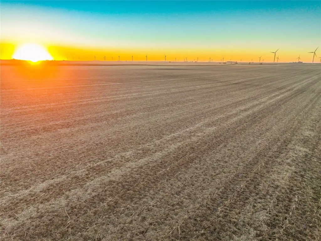
Contact for pricing
Land, Zearing, IA
Property SizeContact for details
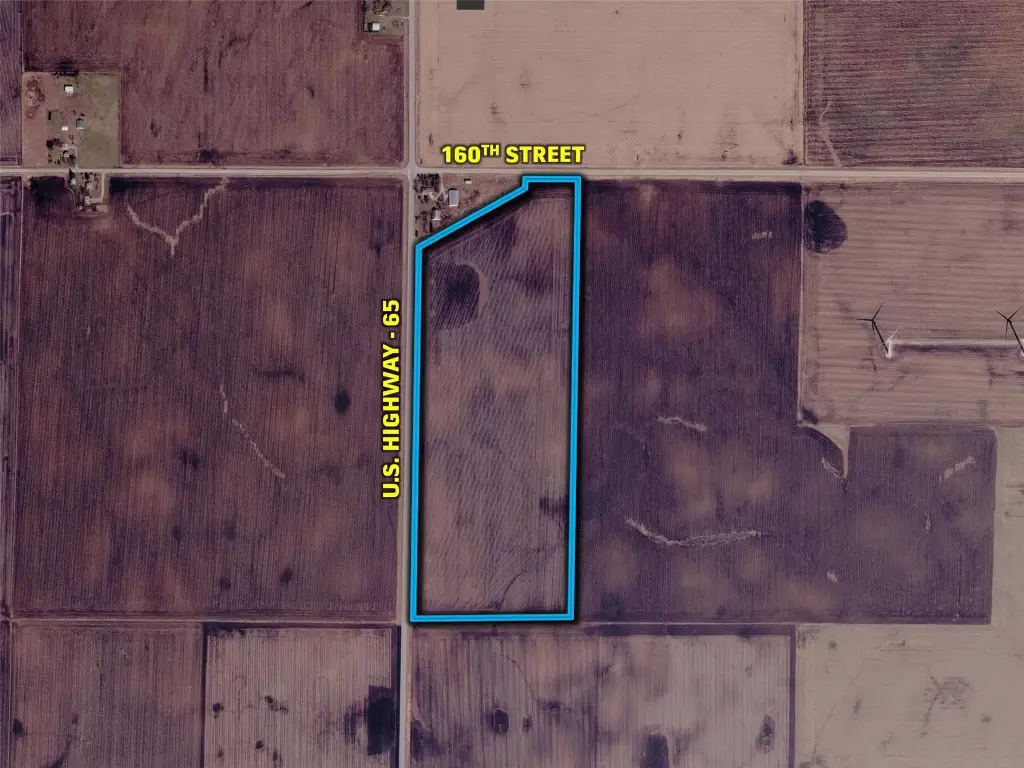
Lot Size74.44 Acres
Days on Market5
Property Features for US Highway 65
General Information
Property type
Property subtype
Zoning
Directions
Subdivision
Special listing conditions
Standard status
APN
Lot size
Taxes and HOA fees
Tax Description
Tax Annual Amount
Legal Description
Listing Agency:
Peoples Company
(515) 222-1347
Listed By:
Andrew Zellmer · License IA S61625000
(712) 898-5913
Added: Nov 17
Changed: Nov 19
Last Checked: Nov 21 at 11:06AM
MLS# 753070
Copyright © 2026 Des Moines Area Association of REALTORS®, Inc. All rights reserved. All information provided by the listing agent/broker is deemed reliable but is not guaranteed and should be independently verified.

Ask AI about this property
Review the available facts, identify missing information and prepare questions for the agent.
Investment Insights
Based on property information with market context.
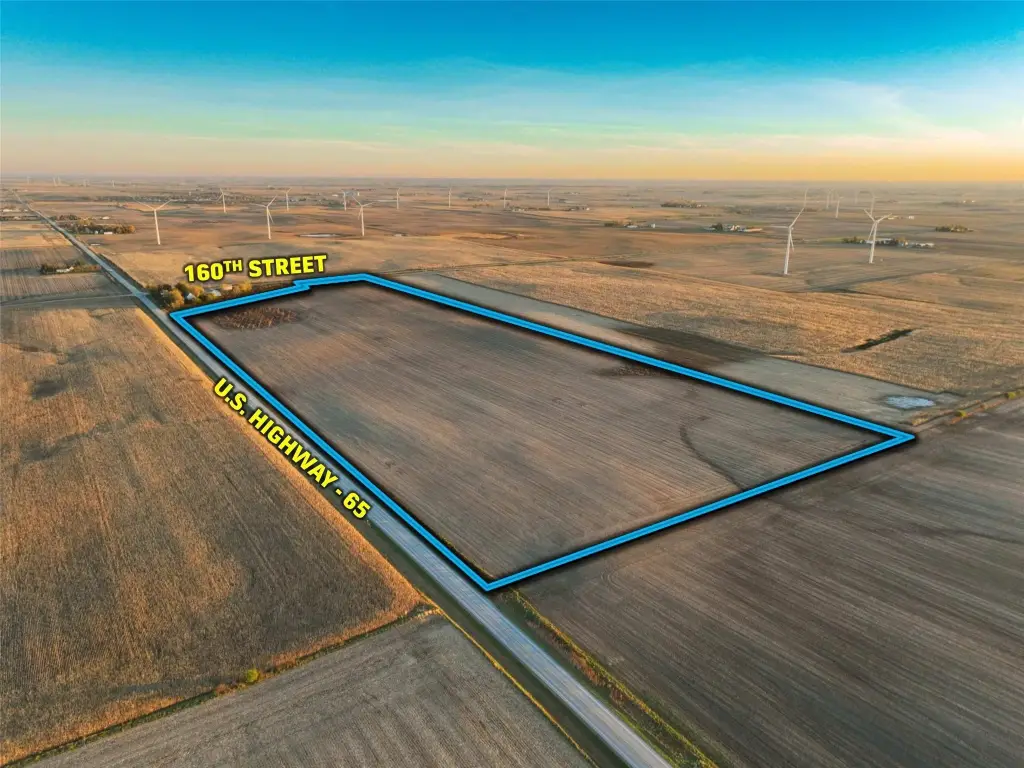
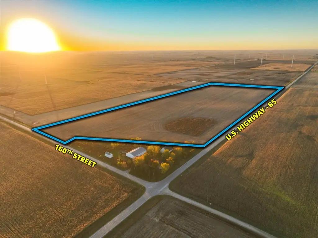
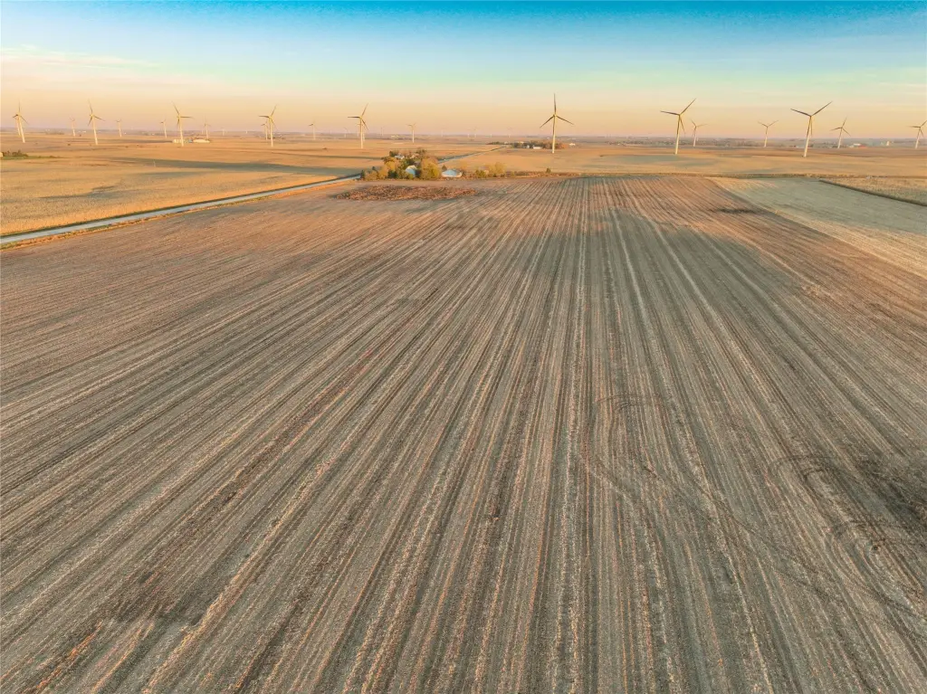
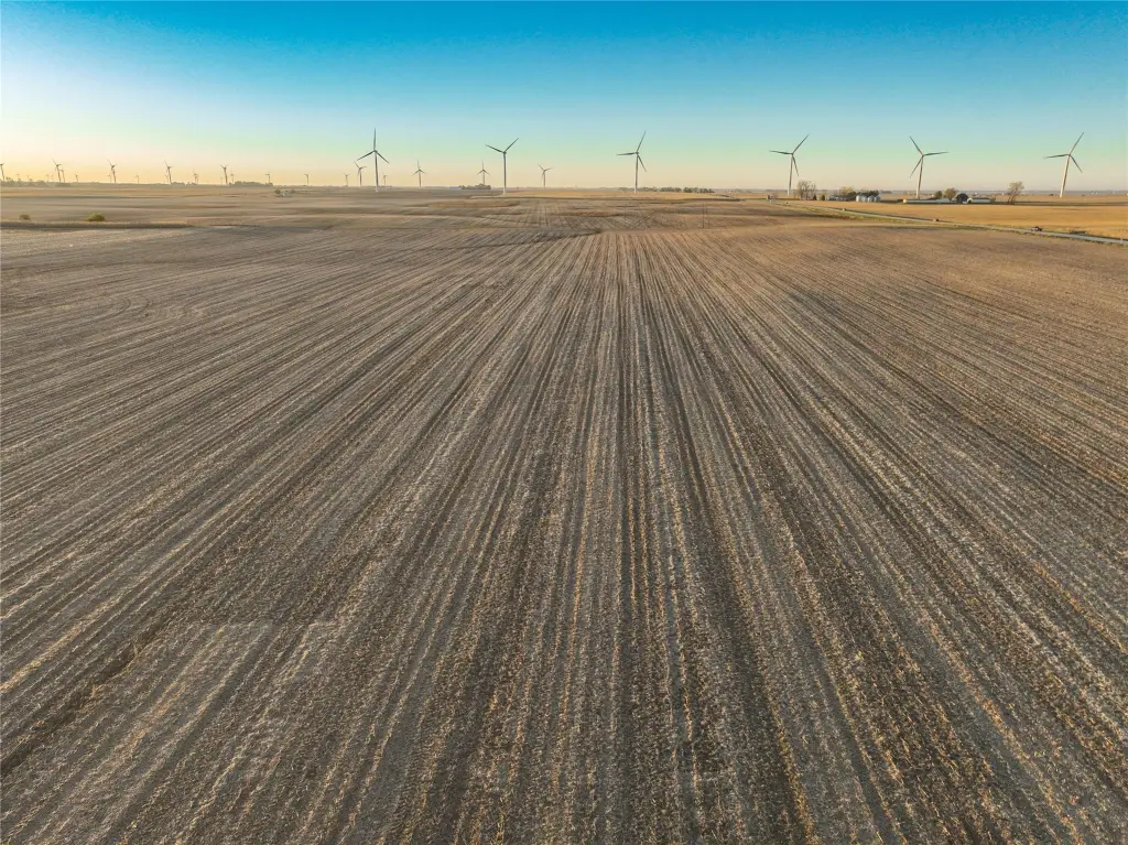
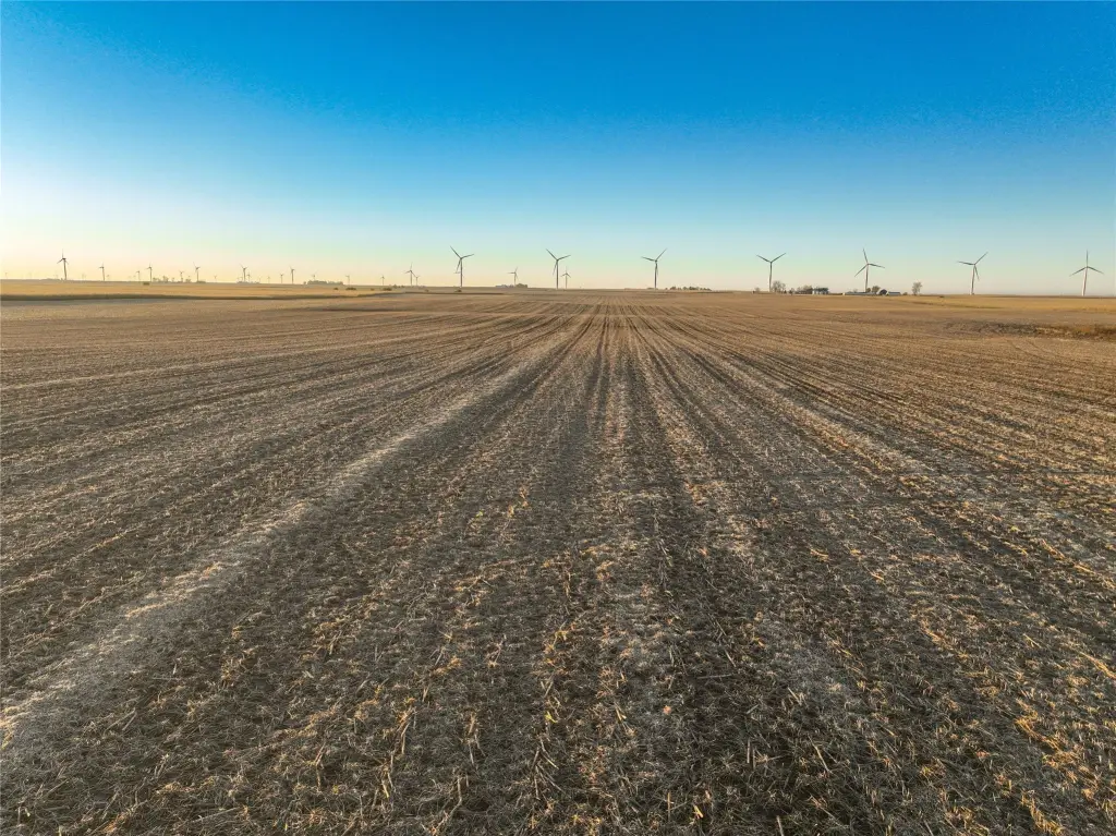
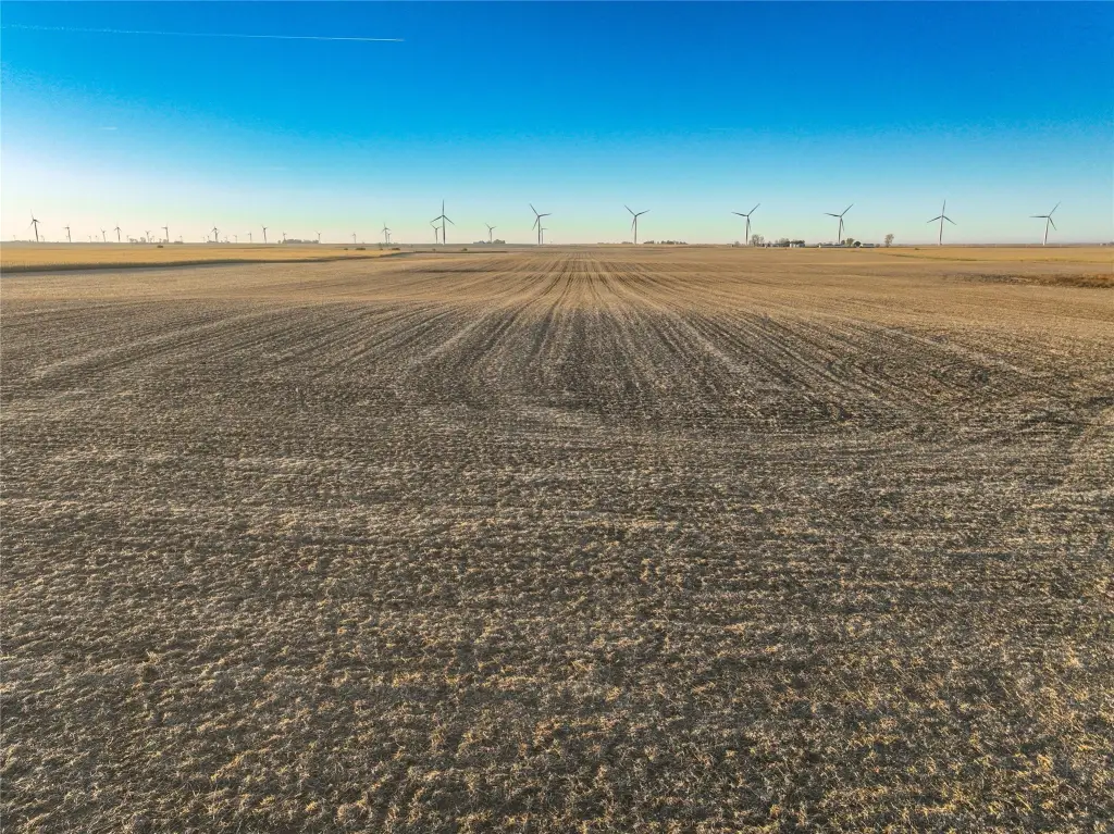
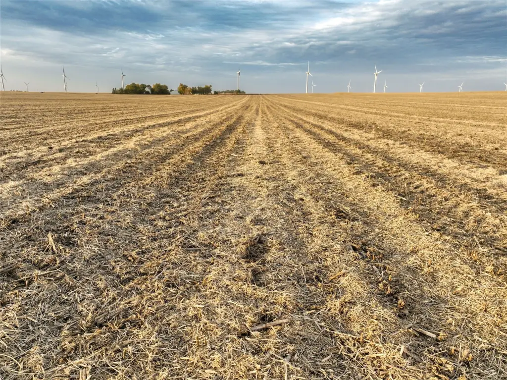
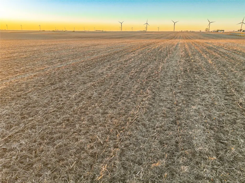
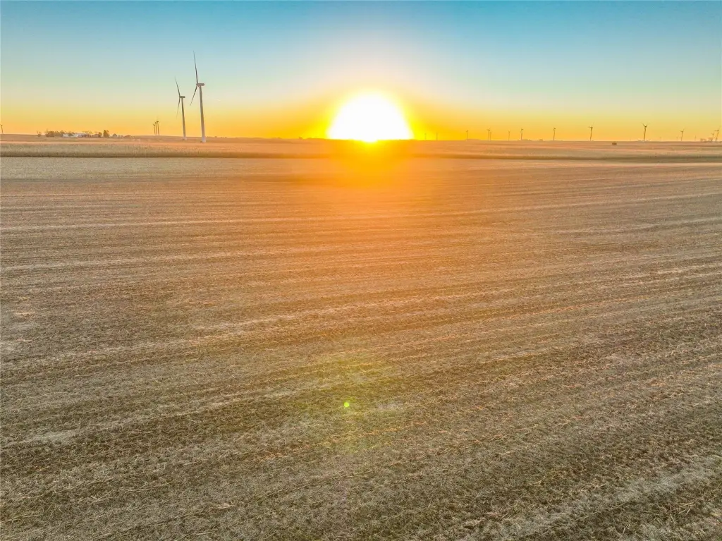
This 74.44-acre agricultural property includes 72.78 FSA cropland acres and carries a CSR2 rating of 84.6. Soil types include Clarion loam, Nicollet loam, and Canisteo clay loam. The existing farm lease has ended, leaving the land available for the 2027 crop year. Drainage features include county infrastructure within Story County Drainage District No. 36, with a 12-inch county tile crossing the property, as well as private tile installation.
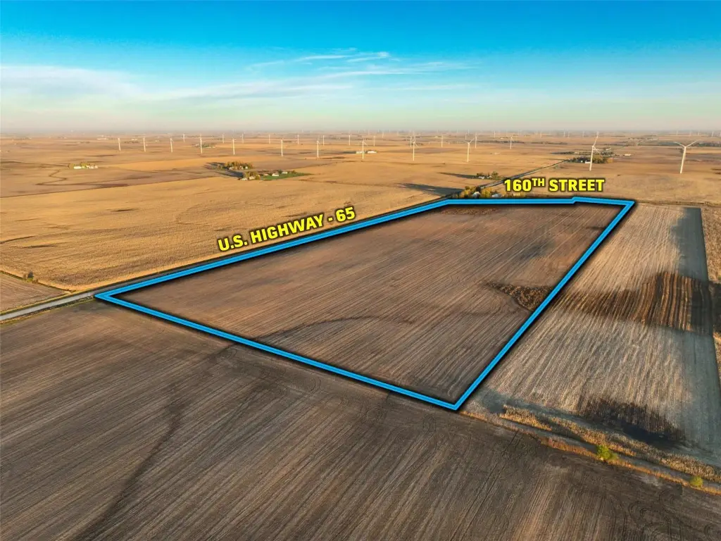
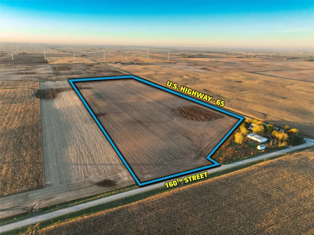
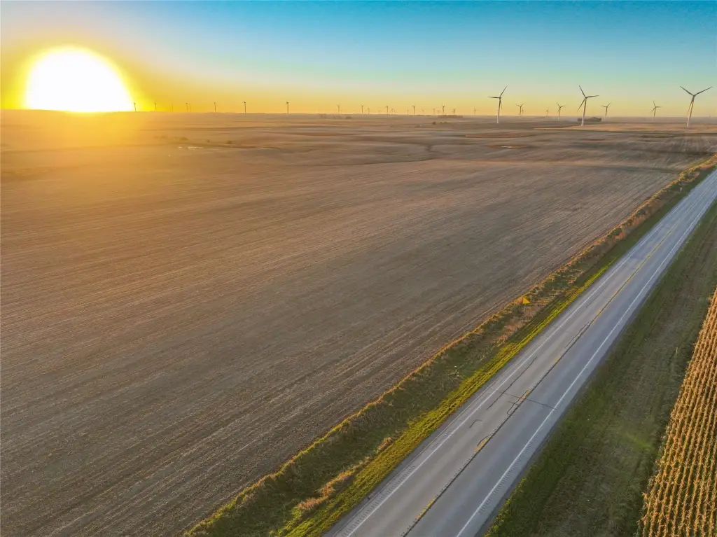
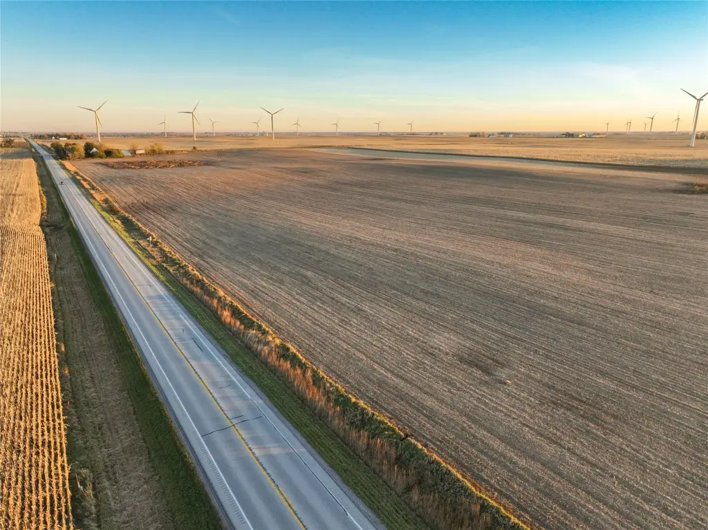
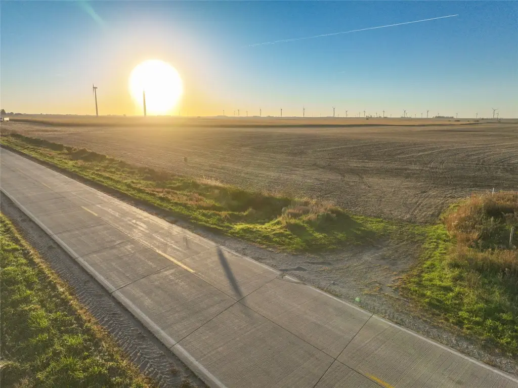
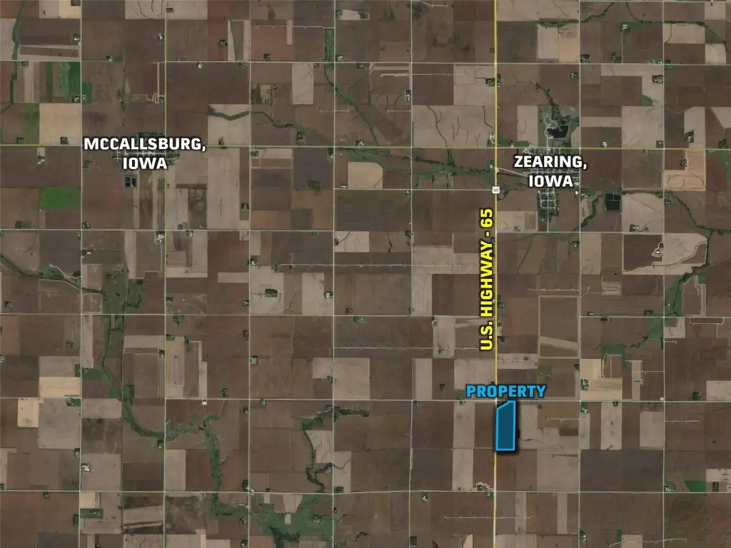
The tract lies along Iowa Highway 65 in Section 4 of Sherman Township, northeast Story County, between Colo and Zearing. Paved access is available from the north via 160th Street, also identified as County Road E23.
The tract lies along Iowa Highway 65 in Section 4 of Sherman Township, northeast Story County, between Colo and Zearing. Paved access is available from the north via 160th Street, also identified as County Road E23.
Key Highlights
- 74.44 acres, including 72.78 FSA cropland acres
- CSR2 soil rating of 84.6
- Clarion loam, Nicollet loam, and Canisteo clay loam soils
Property Analytics
Who owns this building?
See the owner, sales and loan history
Open Analytics
Current Use
Location Intelligence
Trade Area within ½ mile
Improve property use
Find place for business
Demographics for 50278, IA
780
Population
325
Households
2.4
Avg Household Size
44
Median Age
33%
College-Educated
97%
High-School Grad
46.4 sq mi
ZIP Area
17
Density / Sq Mi
Median Household Income
Median Earnings
Median Rent
Median Home Value
Check the figures for this property
Cap Rate, Value Estimation, Potential NOI and more
View Realmo Analytics
Frequently Asked Questions
What type of property is this?
Agricultural land / Farmland - A productive farm tract with cropland, installed drainage tile, and paved-road access.
Where is this agricultural land / farmland located?
The property is located at US Highway 65 Zearing, IA.
What are key features of this property?
This property features: 74.44 acres, including 72.78 FSA cropland acres; CSR2 soil rating of 84.6; Clarion loam, Nicollet loam, and Canisteo clay loam soils