Commercial Land Tract with Road
UNK Interstate 35 Troy, TX 76579


UNK Interstate 35, Troy, TX, 76579
$2,200,000
For Sale
$2,200,000
LAND - Troy, TX
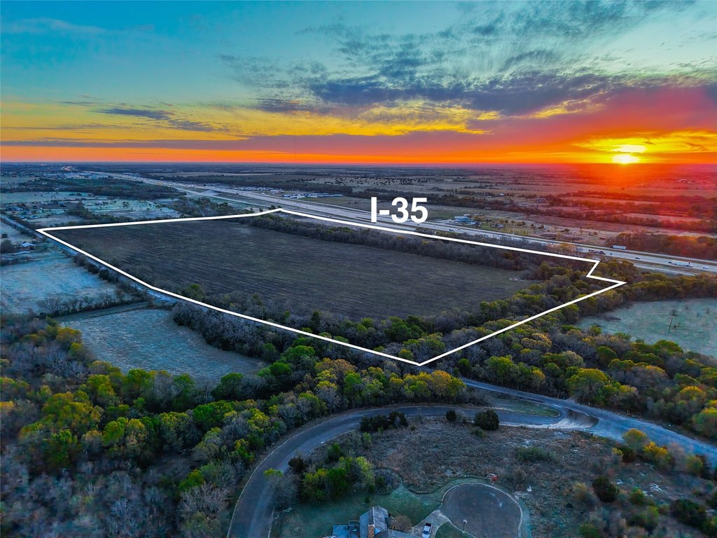
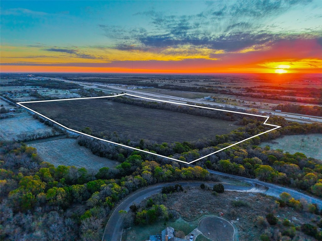
Lot Size76.36 Acres
Days on Market101
Property Features for UNK Interstate 35
General Information
- Property type
- Land
- Property subtype
- Other
- Standard status
- Active
- APN
- 127004
- Lot size
- 76.36 Acres
Taxes and HOA fees
- Tax Description
- A0385BC T HUGHES, 56, ACRES 76.356
- Tax Annual Amount
- 353
Utilities
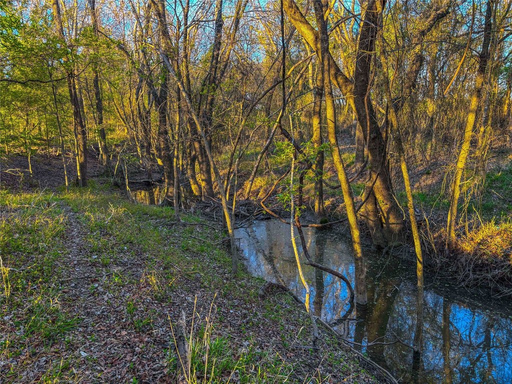
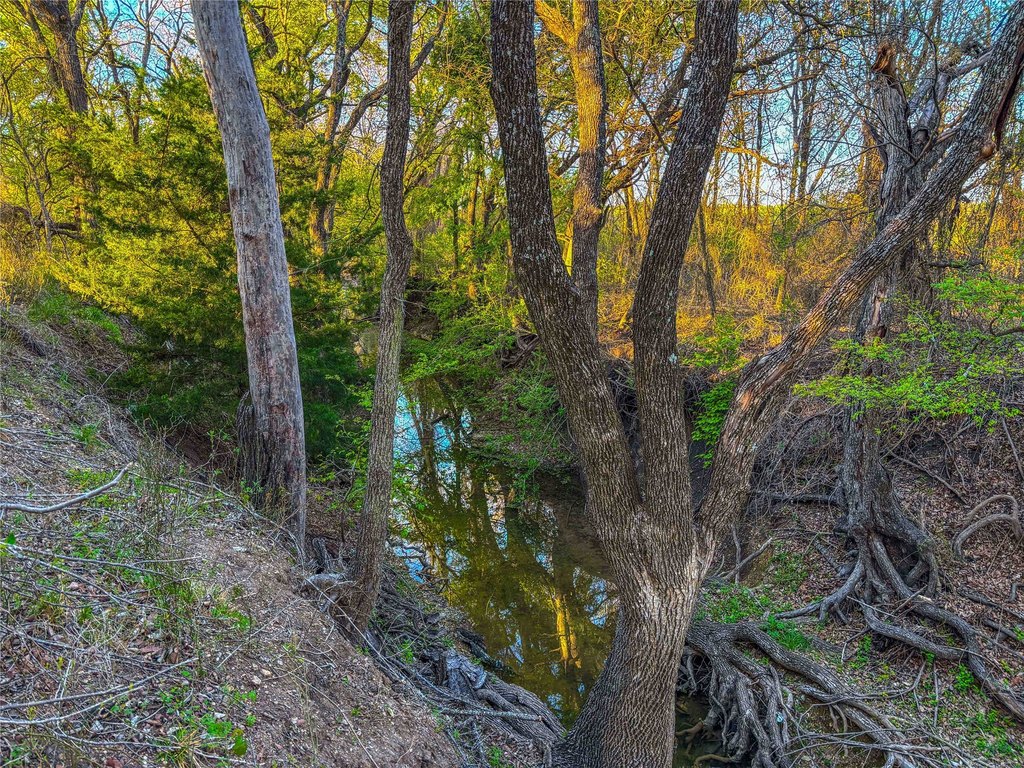
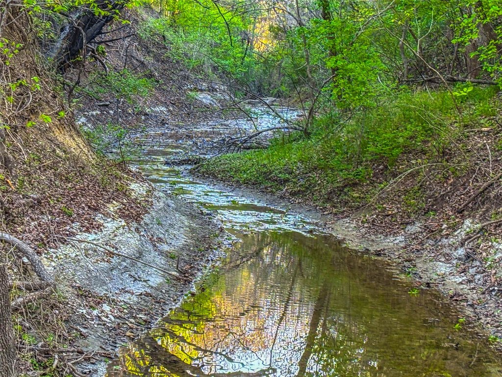
- Water front features
- Creek
- Water front
- 1
Listing Agency
Whitetail Properties Real Estate
(217) 285-9000
Boerne, TX
Listed by
Jonathan Wise · License #0769247
(830) 428-0096
Added: Apr 9 Checked: Jul 18 at 4:06 am
MLS# 21231941
Listing URL
Copyright © 2026 North Texas Real Estate Information Systems, Inc. All rights reserved. All information provided by the listing agent/broker is deemed reliable but is not guaranteed and should be independently verified.
Investment Insights
Based on property information with market context.
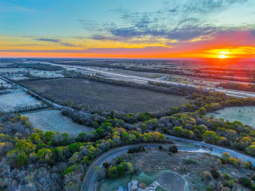
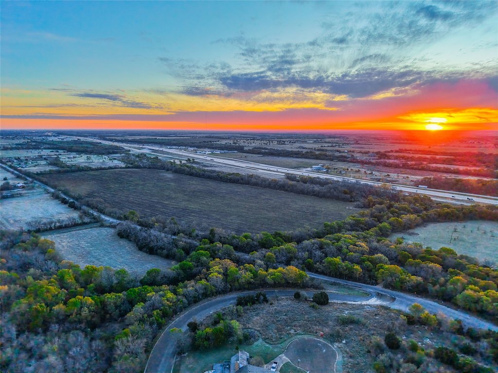
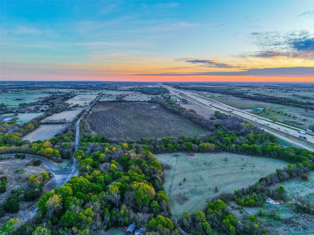
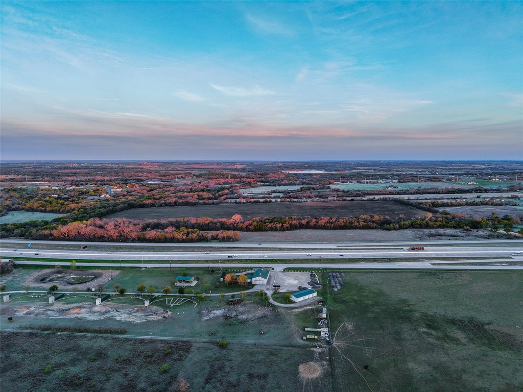
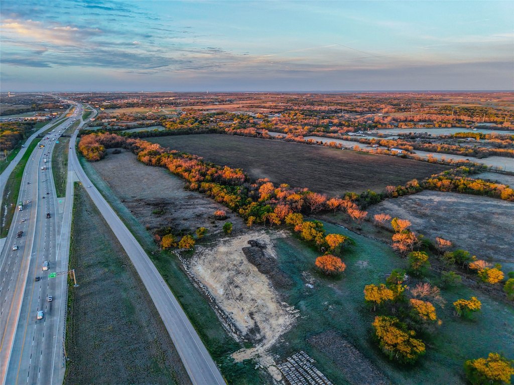
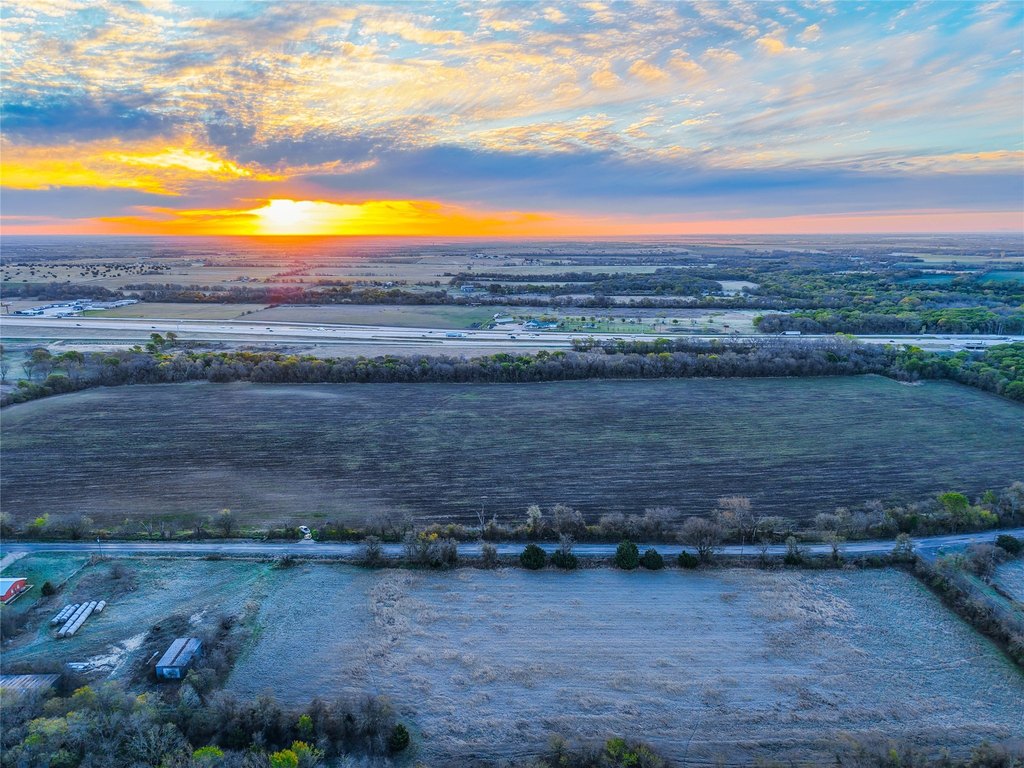
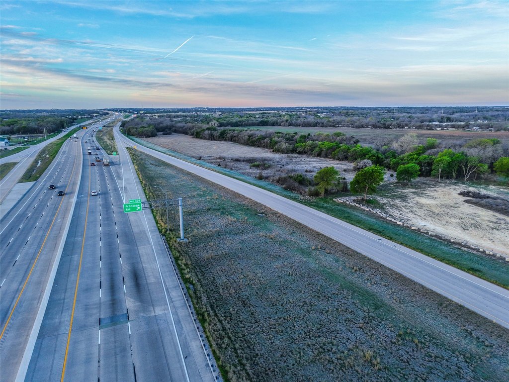
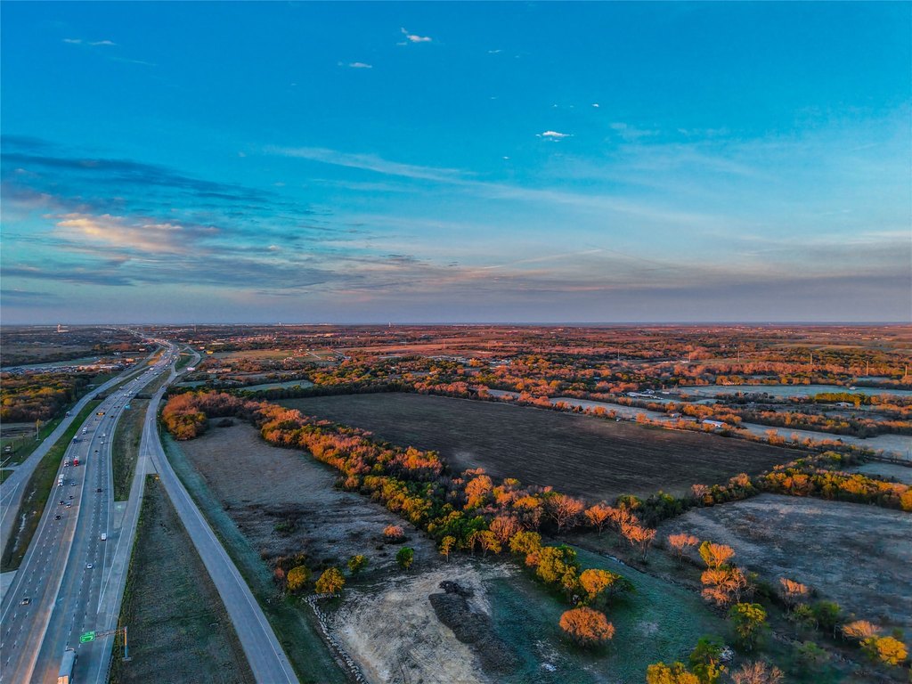
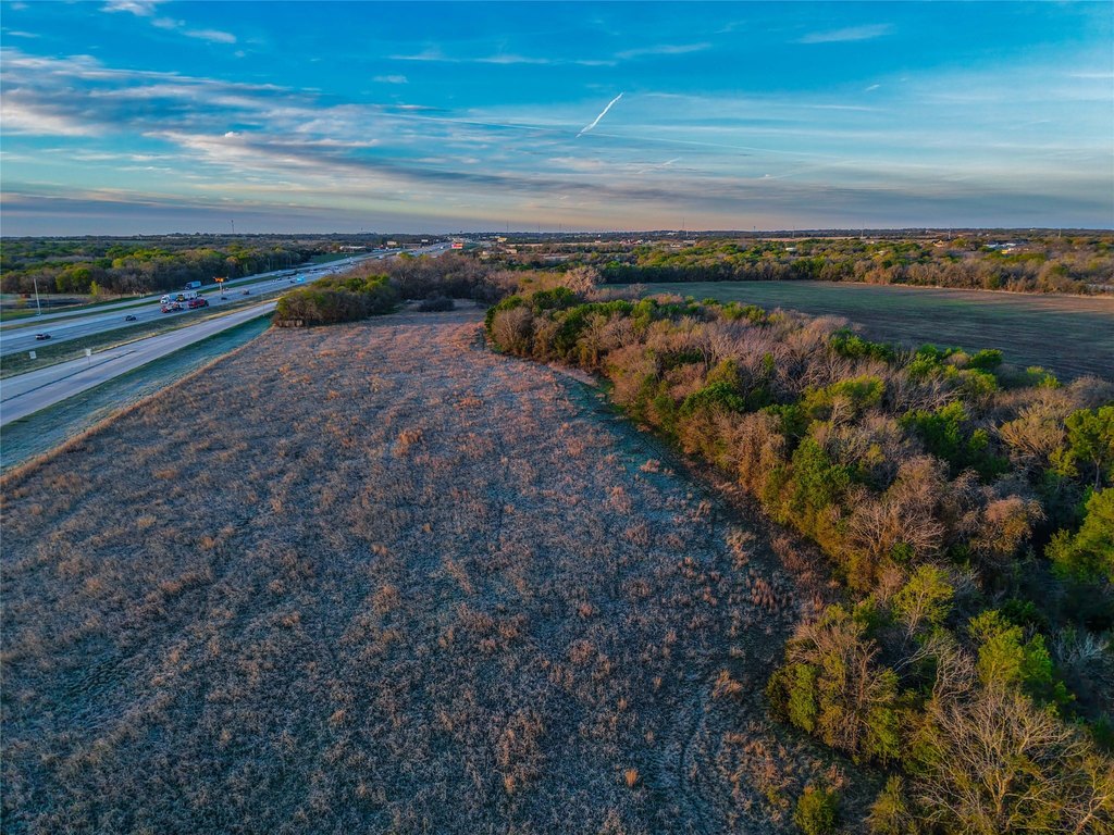
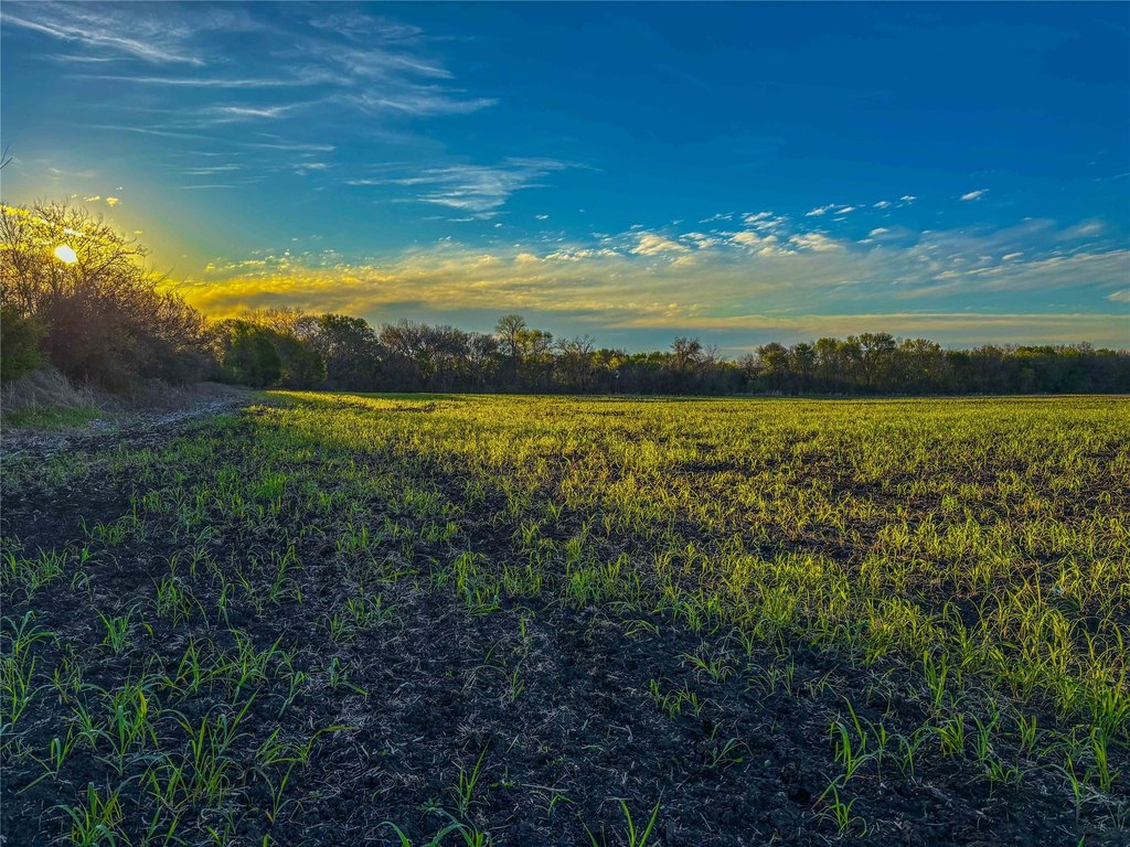
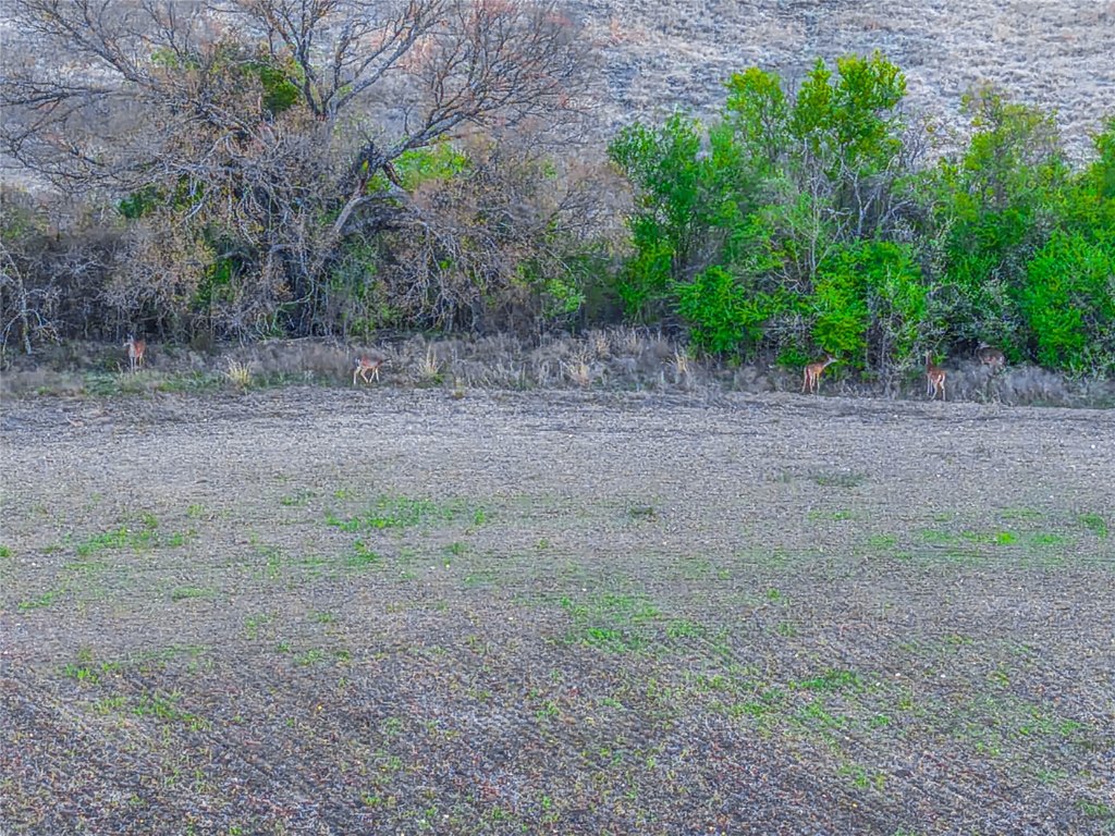
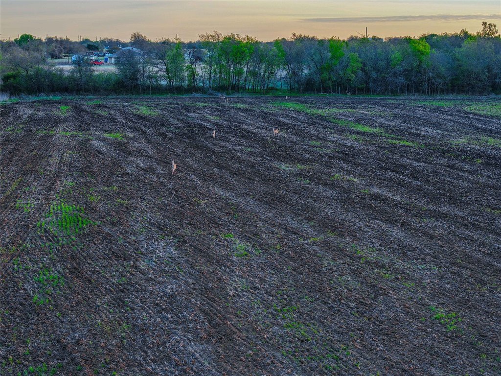
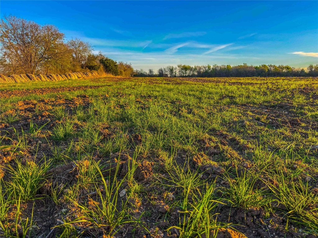
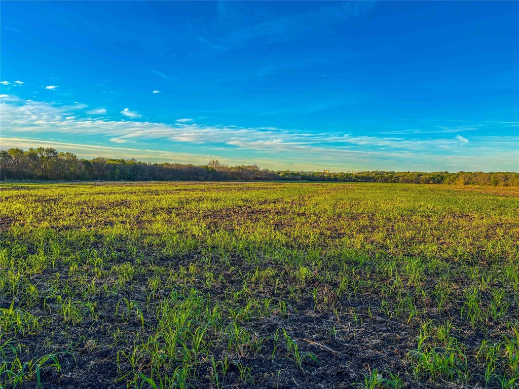
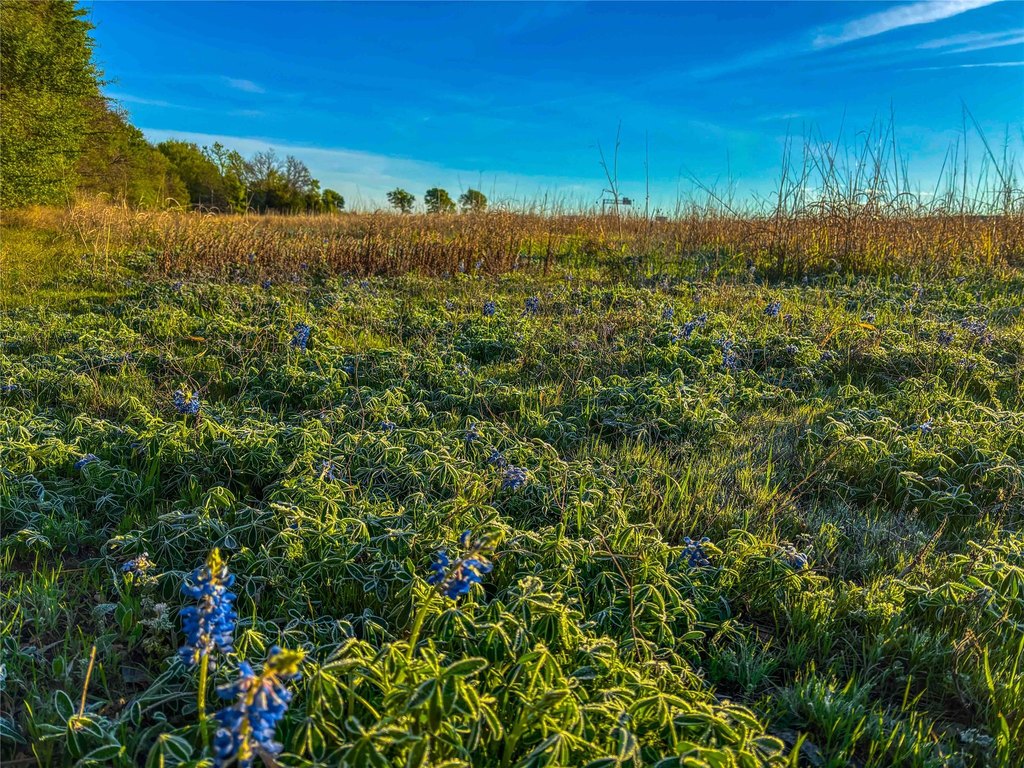
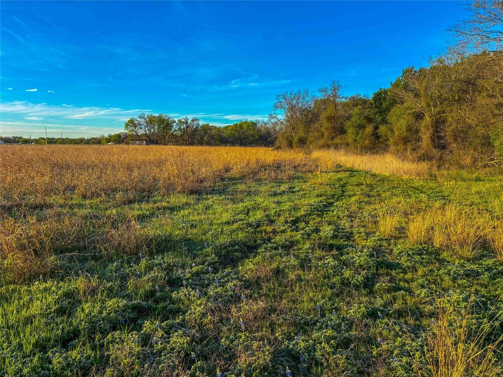
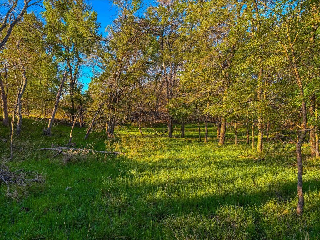
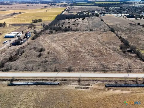
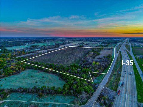
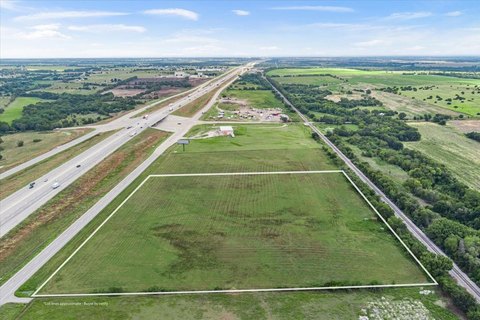
This undeveloped land tract totals roughly 76 acres and features gently rolling terrain with approximately 30 feet of elevation change. With a largely open layout, the property is positioned as a blank canvas for a range of planning possibilities, including residential communities, commercial development, or long-term investment strategies.
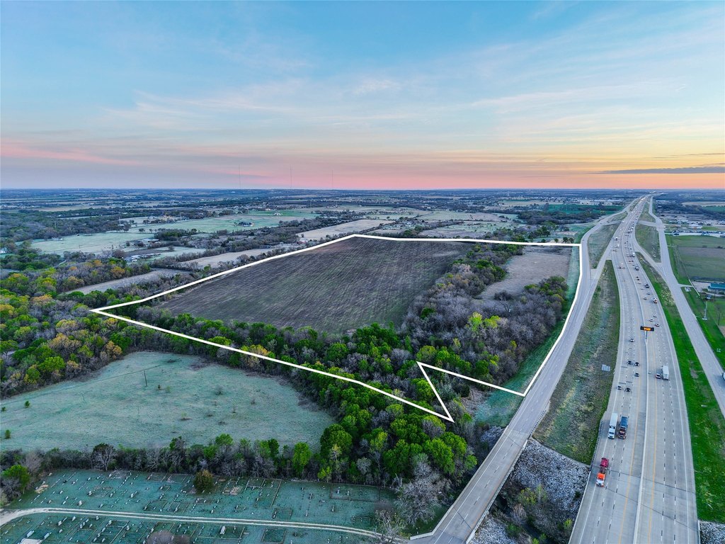
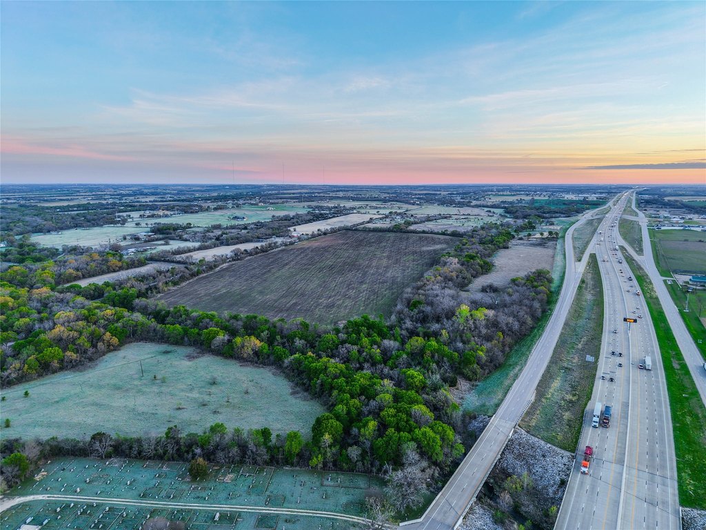
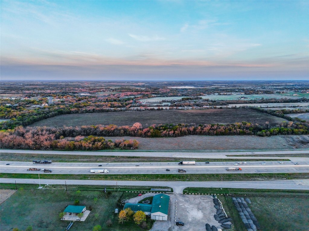
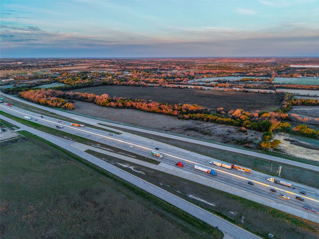
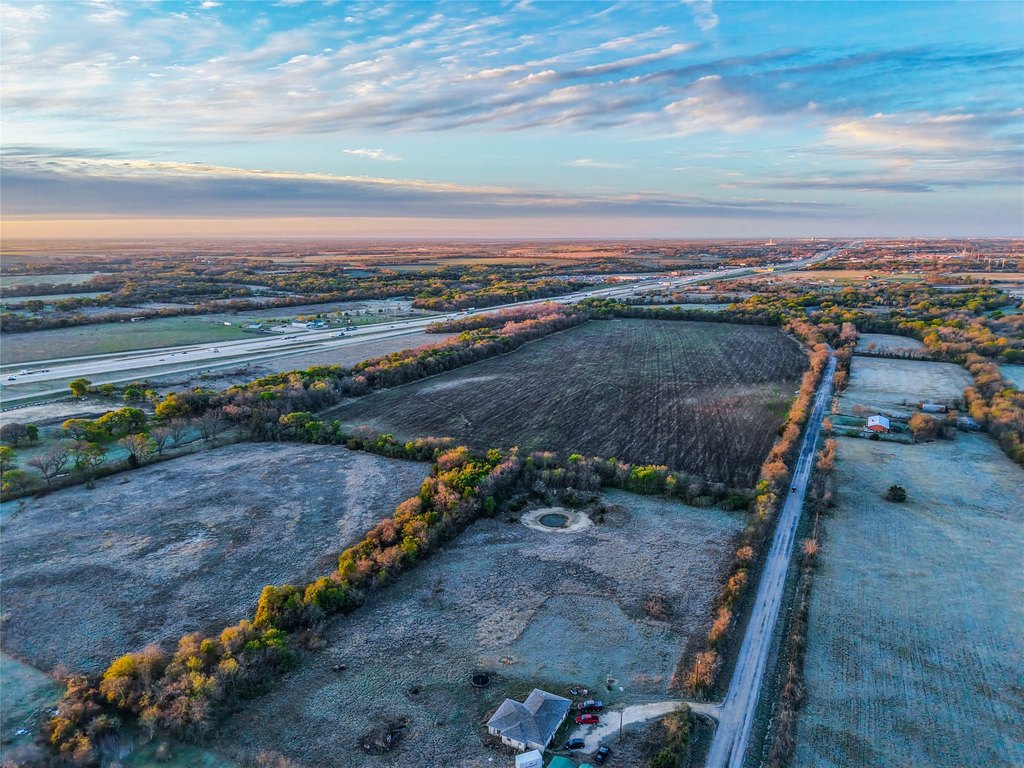
The tract benefits from approximately 2,500 feet of frontage along the I-35 access road, along with an additional 2,200+ feet of frontage along Old Highway 81, providing access from two sides. Located in Bell County near Temple, Belton, and Salado, the property offers convenient connectivity to the Interstate 35 corridor and is within comfortable reach of larger Central Texas markets.
For developers and investors, the combination of substantial frontage, practical topography, and convenient regional access makes this acreage well-suited for projects that need visibility and flexible site planning. Buyers looking to capitalize on future growth in the area may find the site’s undeveloped condition and multi-road exposure especially compelling when evaluating development timing and end-use.
Key Highlights
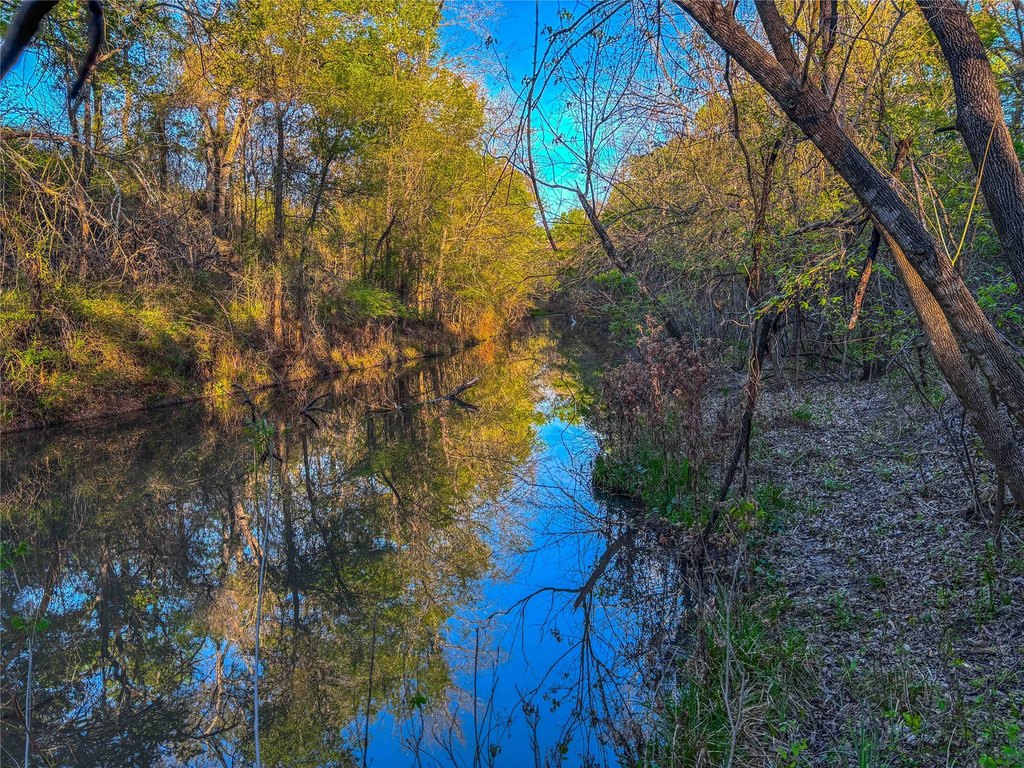
- 76.63+/- acre tract in Bell County, Texas with creek waterfront features
- Approximately 2,500 feet of frontage along the I‑35 access road plus 2,200+/- feet along Old Highway 81
- Easy access from two sides with frontage on both I‑35 access road and Old Highway 81
Property Analytics
Property Profile
Location Intelligence
Current Use by Public Records
Commercial land
Similar For Sale Nearby


FAQs
What type of property is this?
Commercial land - Undeveloped acreage offers extensive road frontage, visibility, and flexible terrain for future residential or commercial development.
Where is this commercial land located?
The property is located at UNK Interstate 35 Troy, TX.
What is the asking price?
The asking price for this property is $2,200,000.
What are key features of this property?
This property features: 76.63+/- acre tract in Bell County, Texas with creek waterfront features; Approximately 2,500 feet of frontage along the I‑35 access road plus 2,200+/- feet along Old Highway 81; Easy access from two sides with frontage on both I‑35 access road and Old Highway 81


