Mountain Land with
For Sale
$2,995,000
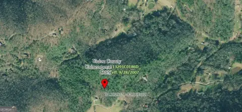
Trackrock Gap Road, Blairsville, GA 30512
Acreage, Blairsville, GA
Property SizeContact for details
Lot Size97.85 Acres
Days on Market227
Property Features for Trackrock Gap Road
General Information
Property type
Land
Property subtype
Other
Subdivision
Ar 5 Union, Sub 4
Standard status
Active
Lot size
97.85 Acres
Utilities
Water front
1
Listing Agency:
Mountain Property Limited
(706) 835-5118
Listed By:
Tim Helton · License #147224
(706) 747-4020
Added: Mar 4
Changed: Sep 2
Last Checked: Oct 17 at 1:06AM
MLS# 419584
Copyright © 2026 Northeast Georgia Board of Realtors. All rights reserved. All information provided by the listing agent/broker is deemed reliable but is not guaranteed and should be independently verified.

Ask AI about this property
Review the available facts, identify missing information and prepare questions for the agent.
Investment Insights
Based on property information with market context.
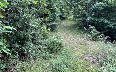
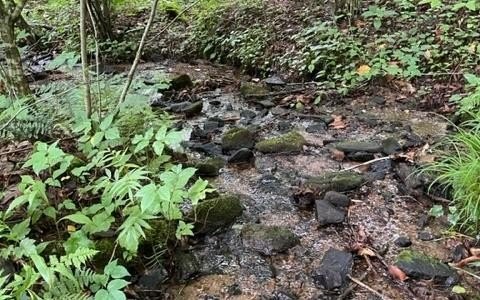
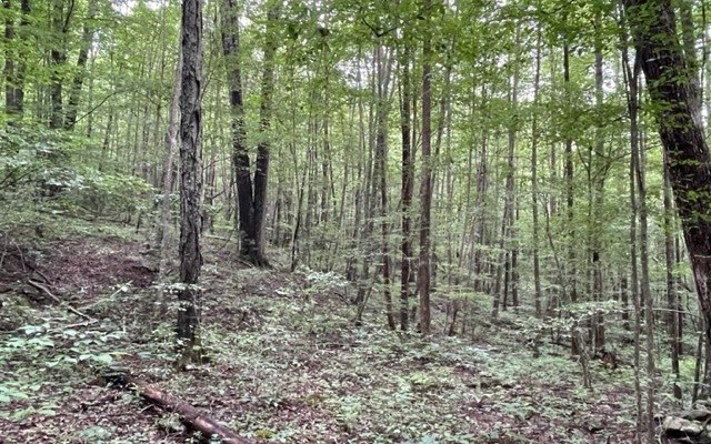
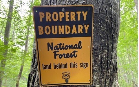
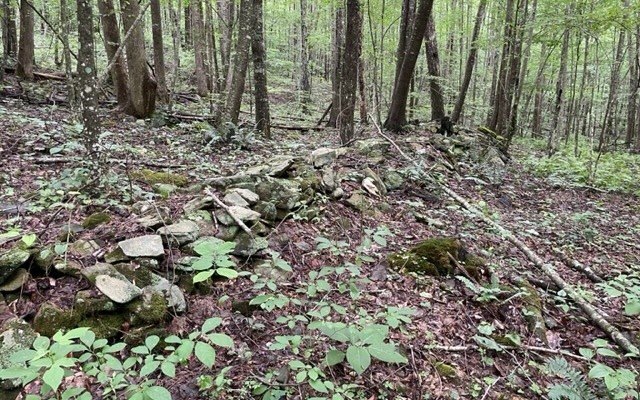
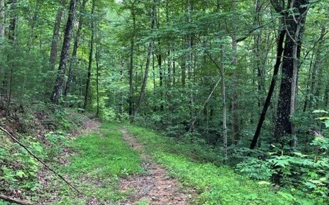
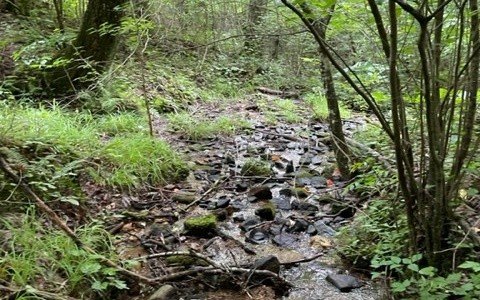
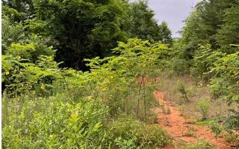
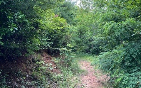
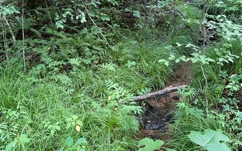
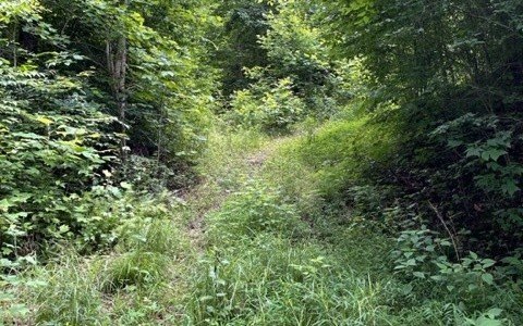
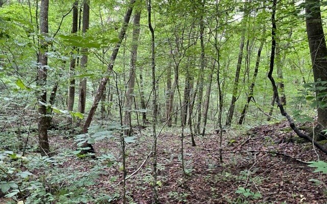
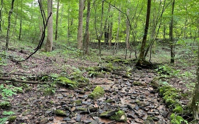
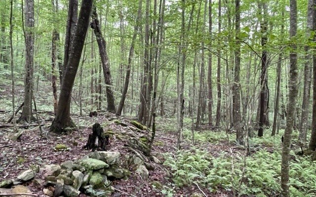
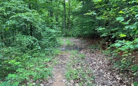
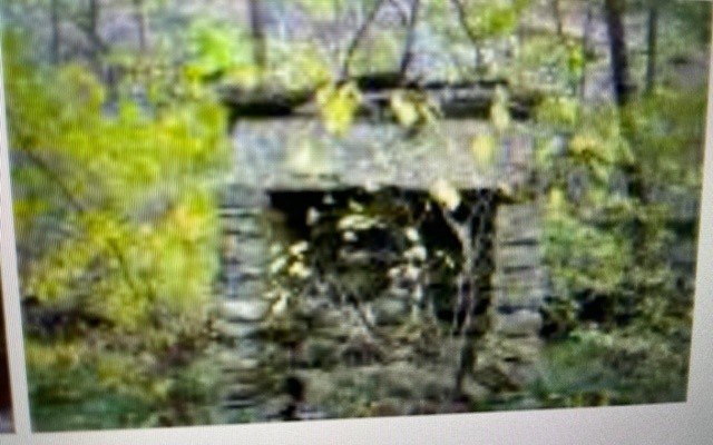
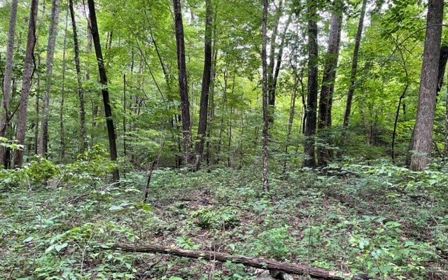
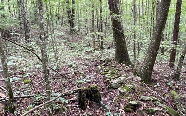
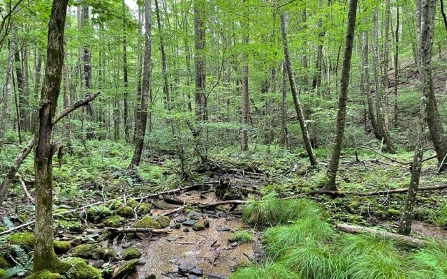
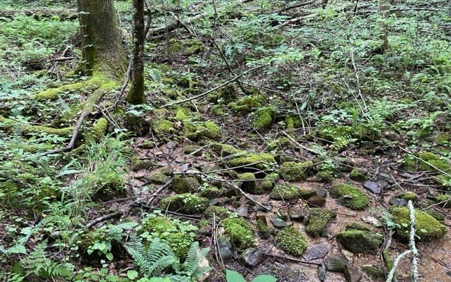
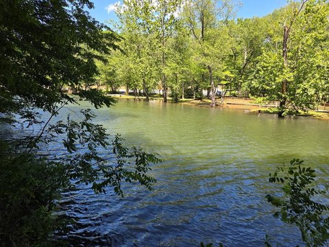
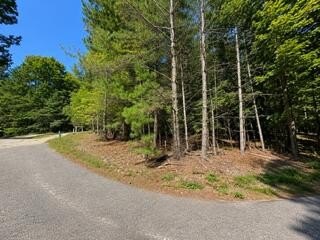
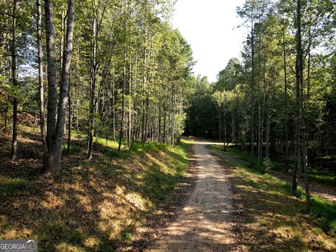
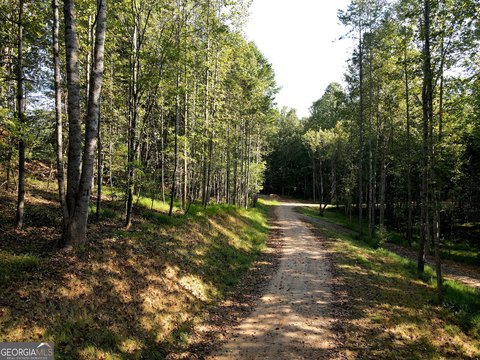
This land tract is enclosed by Chattahoochee National Forest and includes mountain vistas, springs, and a stream. Existing woods roads cross the property, while access is provided from a USFS road. Remnants of an earlier homestead include rocks from an old chimney.
The property is near the Trackrock Archaeological site and within a short drive of Blairsville and Brasstown Valley Resort. Lake Nottley, hiking trails, and trout streams are also located within a few minutes of the acreage.
The property is near the Trackrock Archaeological site and within a short drive of Blairsville and Brasstown Valley Resort. Lake Nottley, hiking trails, and trout streams are also located within a few minutes of the acreage.
Key Highlights
- Surrounded by Chattahoochee National Forest
- Mountain vistas with springs and a stream
- Access from a USFS road
Property Analytics
Current Use
Location Intelligence
Trade Area within ½ mile
31
Businesses Nearby
Explore this area
Business Placement
Demographics for 30512, GA
22,608
Population
13,464
Households
1.7
Avg Household Size
55
Median Age
26%
College-Educated
89%
High-School Grad
221.9 sq mi
ZIP Area
102
Density / Sq Mi
$65,815
Median Household Income
$34,436
Median Earnings
$838
Median Rent
$274,300
Median Home Value


Frequently Asked Questions
What type of property is this?
Land - Mountain acreage features springs, a stream, wooded roads, and access from a USFS road.
Where is this land located?
The property is located at Trackrock Gap Road Blairsville, GA.
What is the asking price?
The asking price for this property is $2,995,000.
What are key features of this property?
This property features: Surrounded by Chattahoochee National Forest; Mountain vistas with springs and a stream; Access from a USFS road


