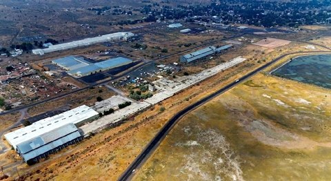
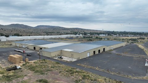
TL 600 Hines Logging Road, Hines, OR 97738
- Added:
- Sep 29, 2025
- Days on Market:
- 281
- Last Refresh:
- Jul 6 at 2:06 am
Property Features for TL 600 Hines Logging Road
General Information
- Property type
- Land
- Property subtype
- Other
- Standard status
- Active
- Lot size
- 480.00 Acres
Taxes and HOA fees
- Tax Annual Amount
- 816
Utilities
- Water front features
- Creek
Listing agent Curt Blackburn (541) 573-7206
Listing office Jett Blackburn Real Estate Inc. 707 Ponderosa Village, Burns, OR (541) 413-5660
Listing date Sep 29, 2025
Copyright © 2026 My State MLS. All rights reserved. All information provided by the listing agent/broker is deemed reliable but is not guaranteed and should be independently verified.
HighLights
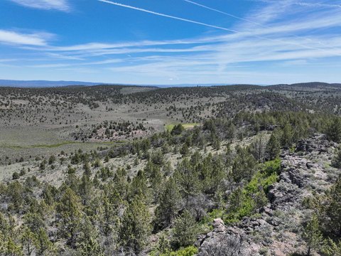
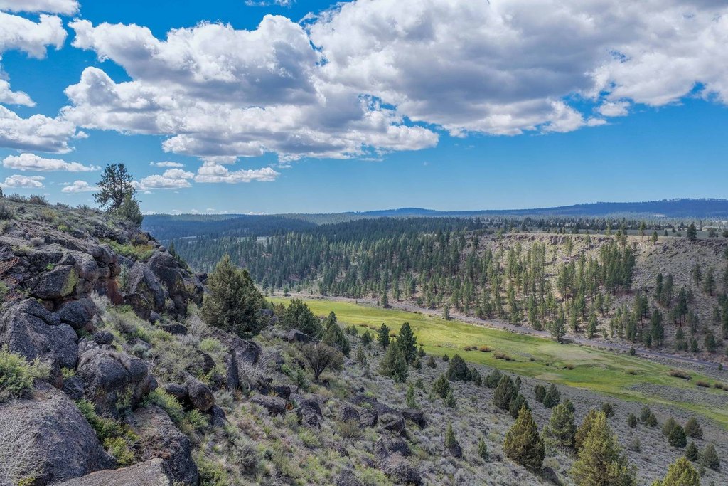
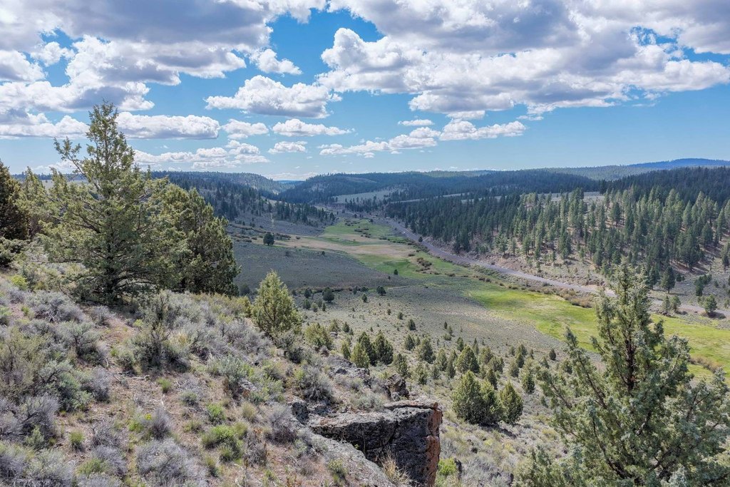
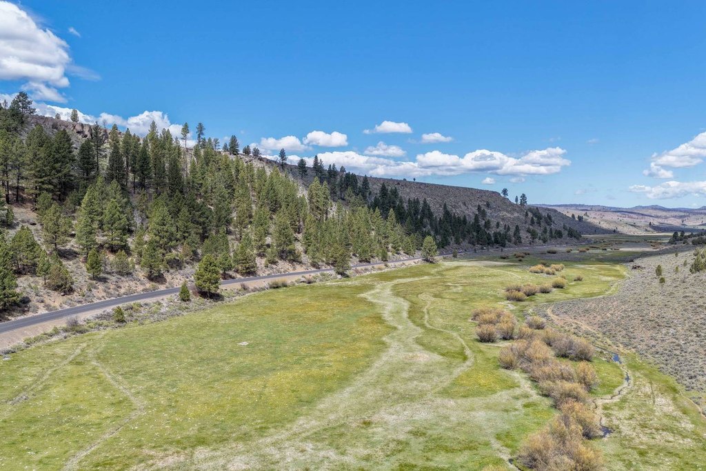
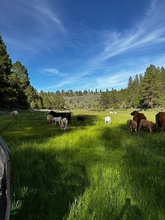
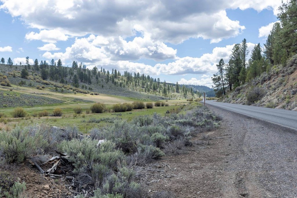
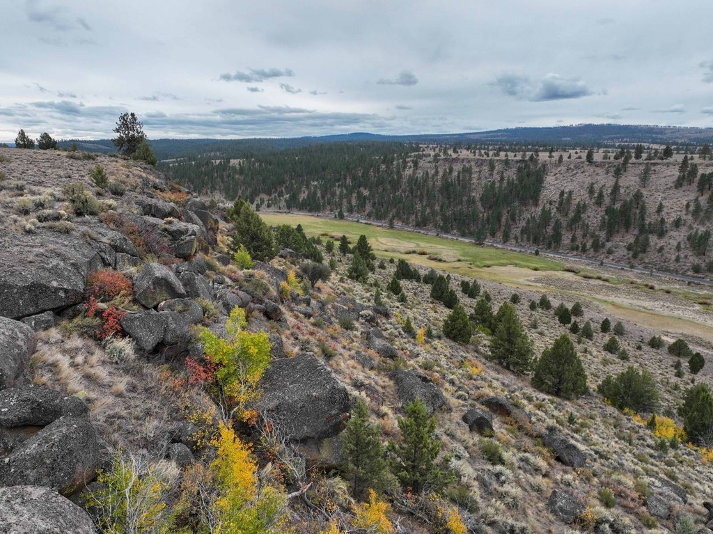
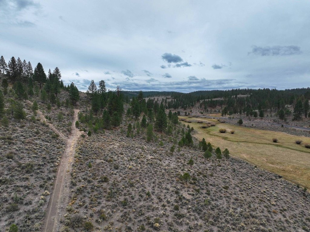
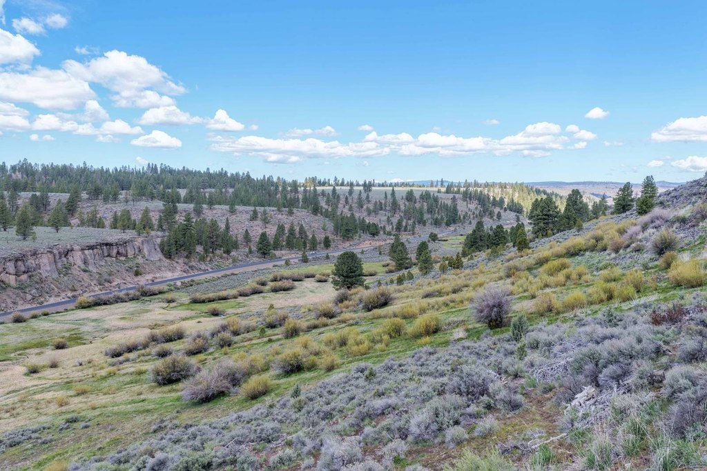
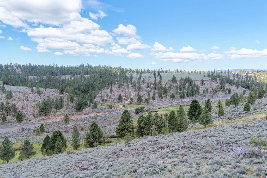
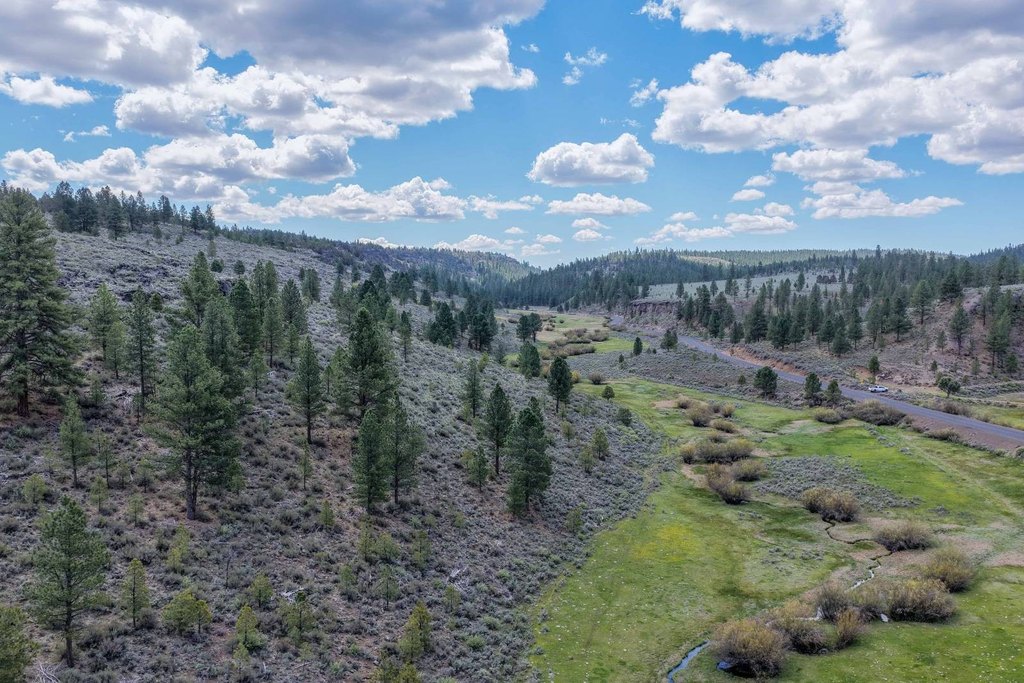
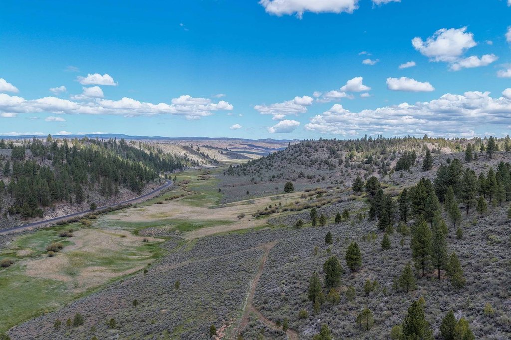
- 480+/- deeded acres in three contiguous 160‑acre parcels along Hines Logging Road
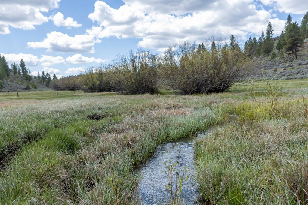
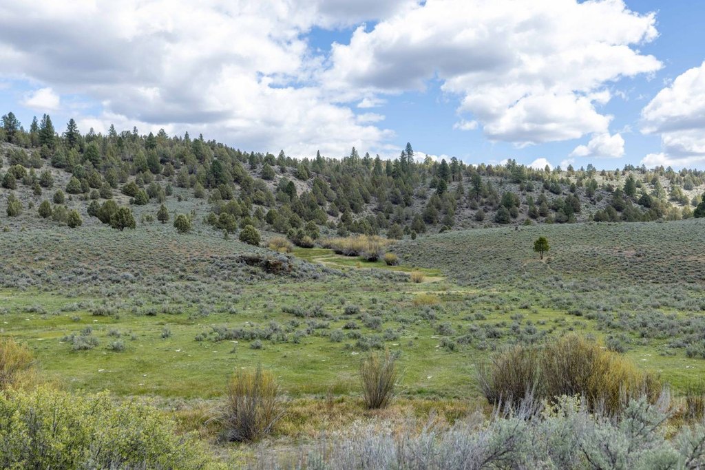
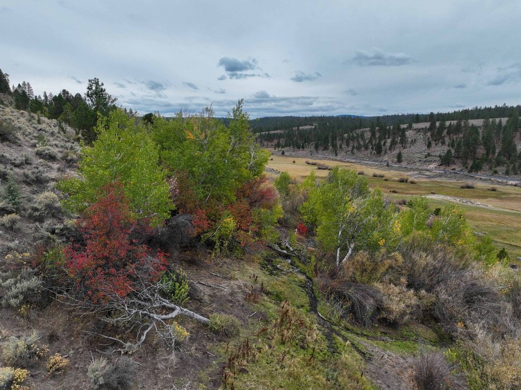
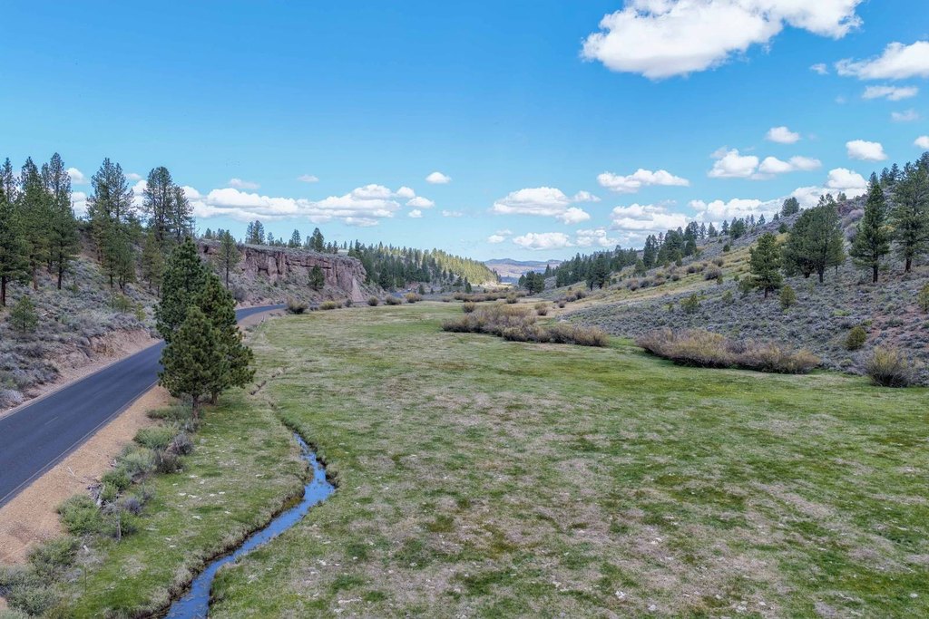
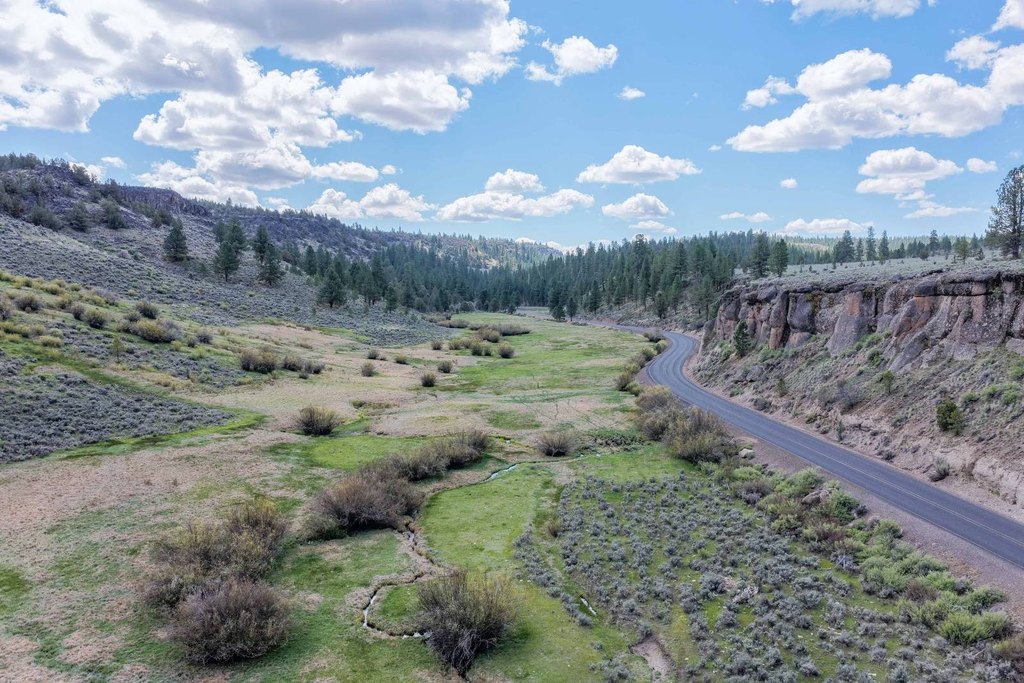
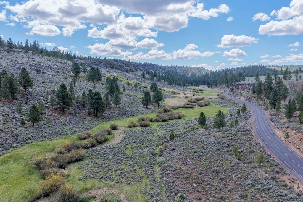
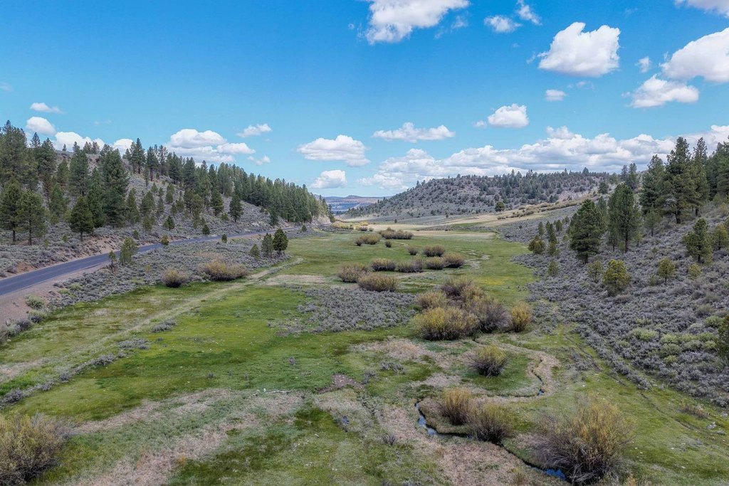
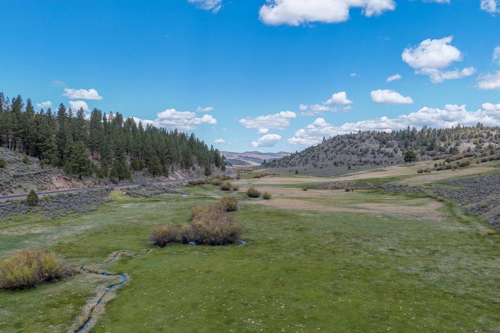
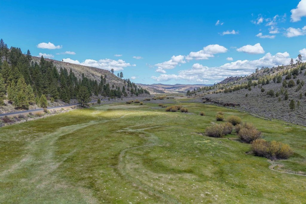
- Cricket Creek runs the full length of the property, fed by year‑round springs
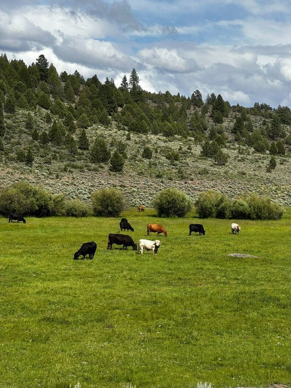
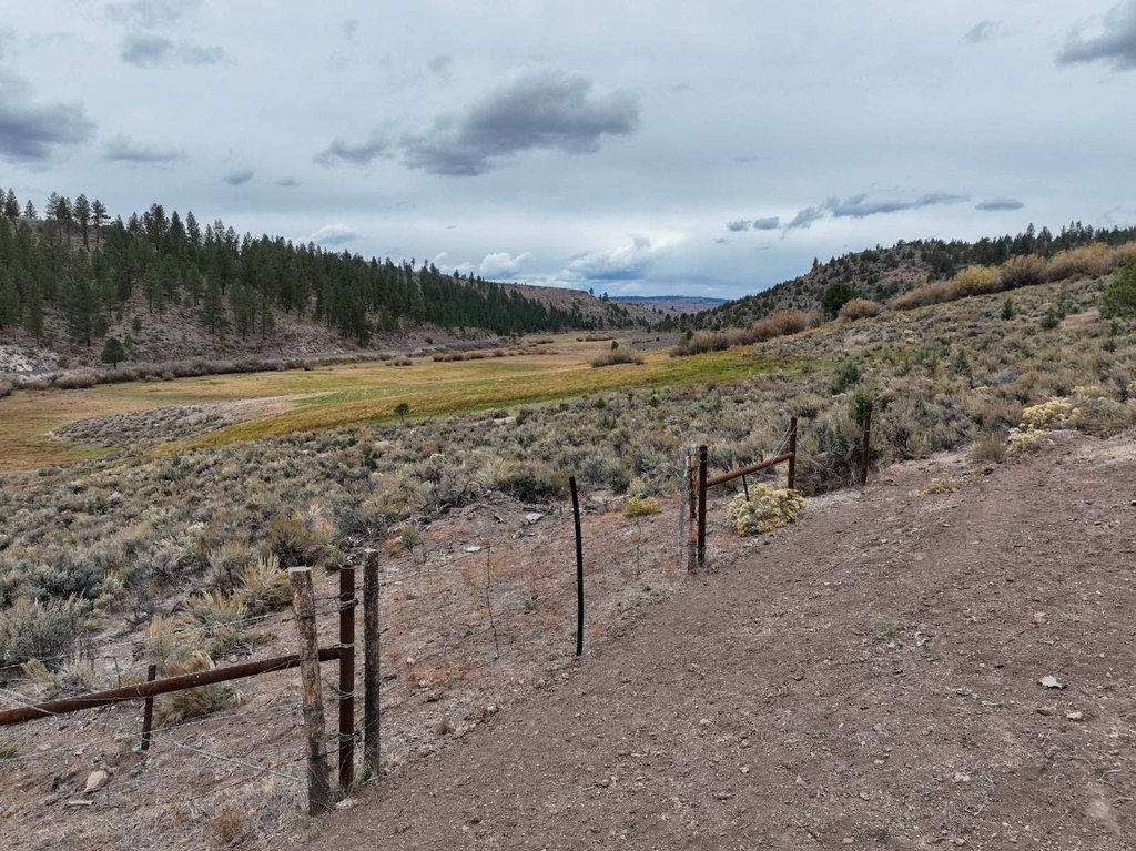
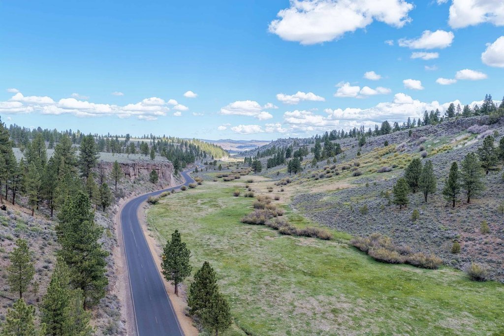
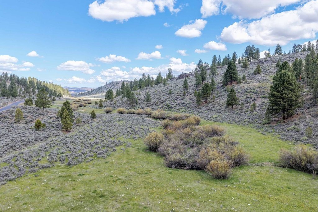
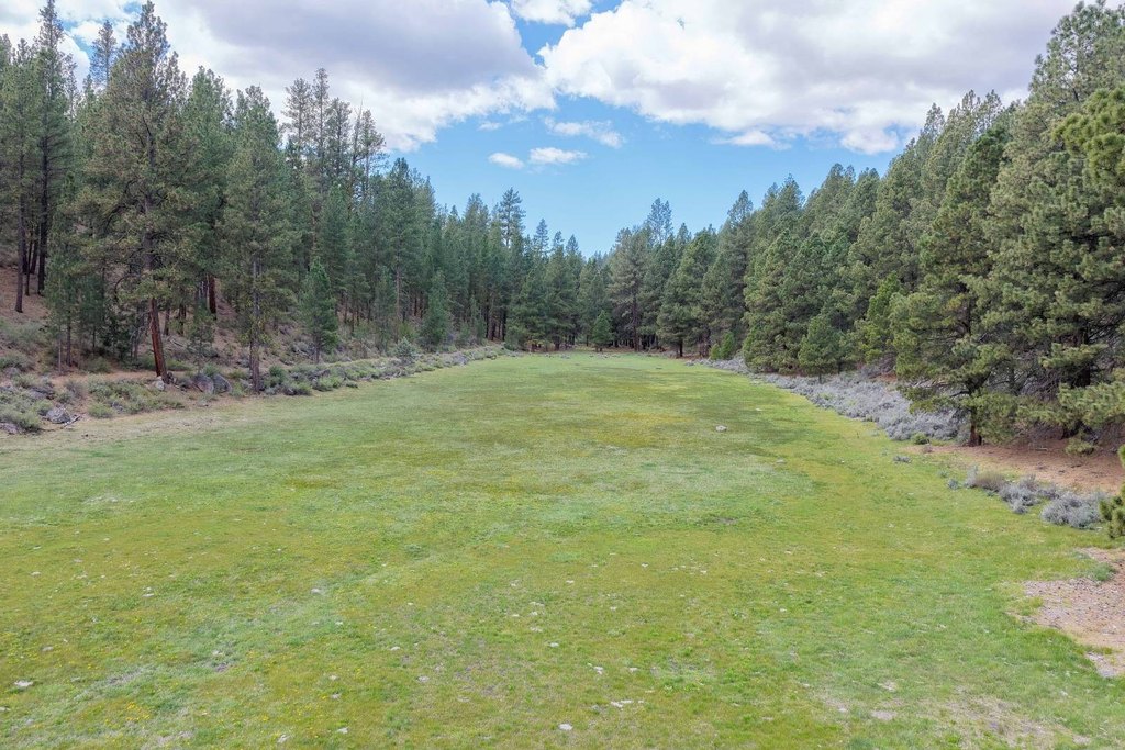
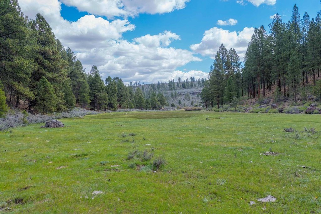
- 120+/- acres of irrigated meadows irrigated via Cert# 92711 from Cricket Creek and springs (priority date 12/31/1897)
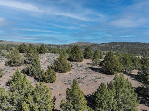
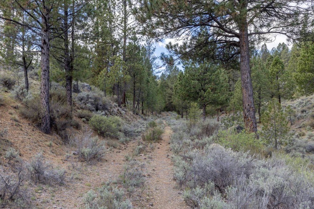
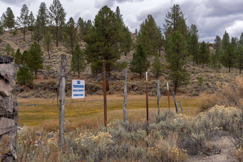
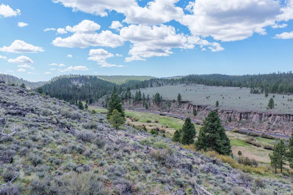
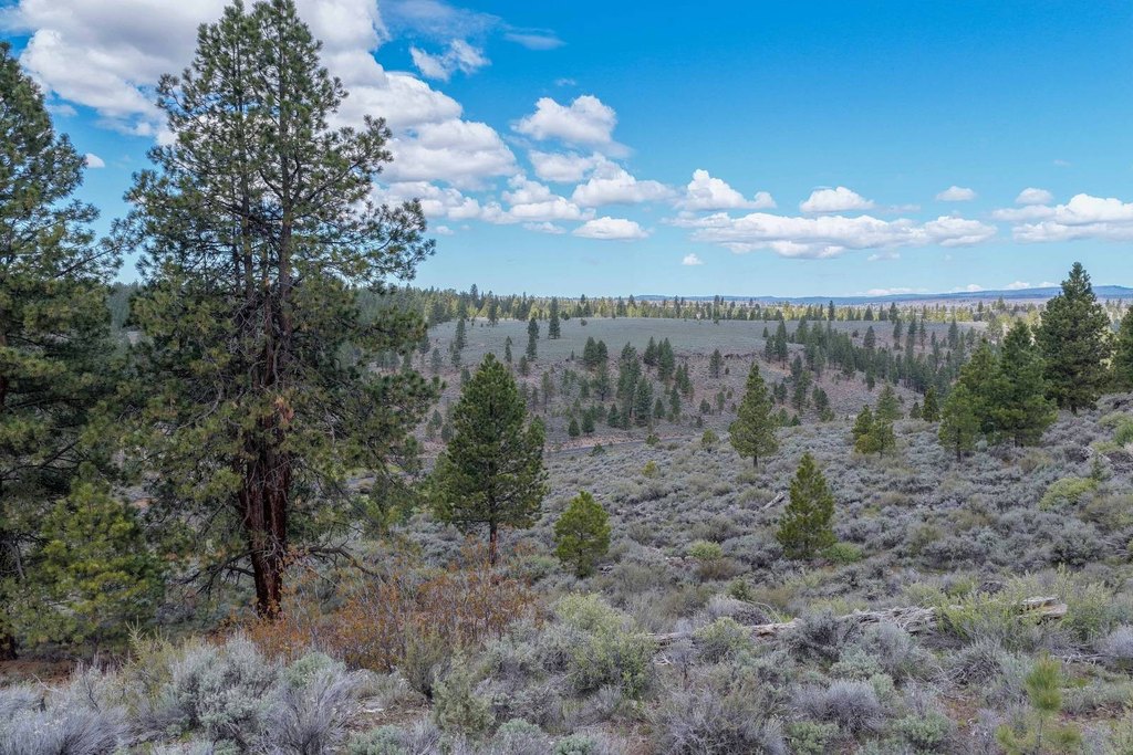
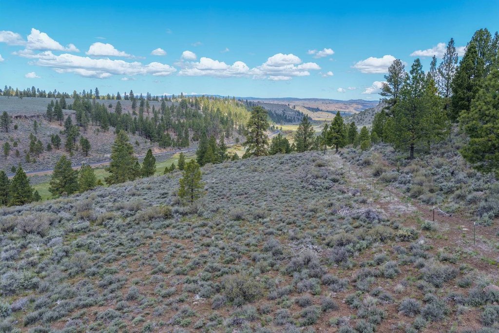
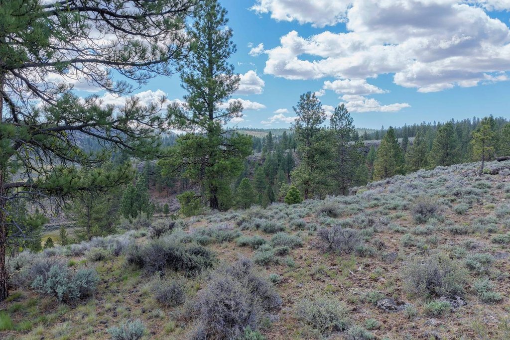
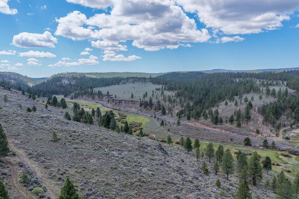
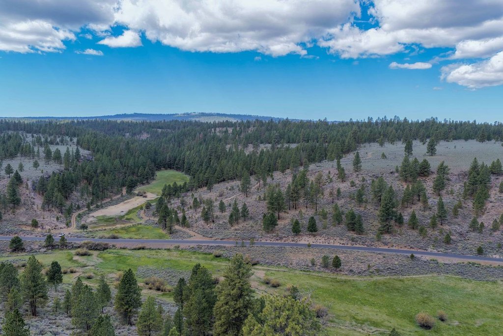
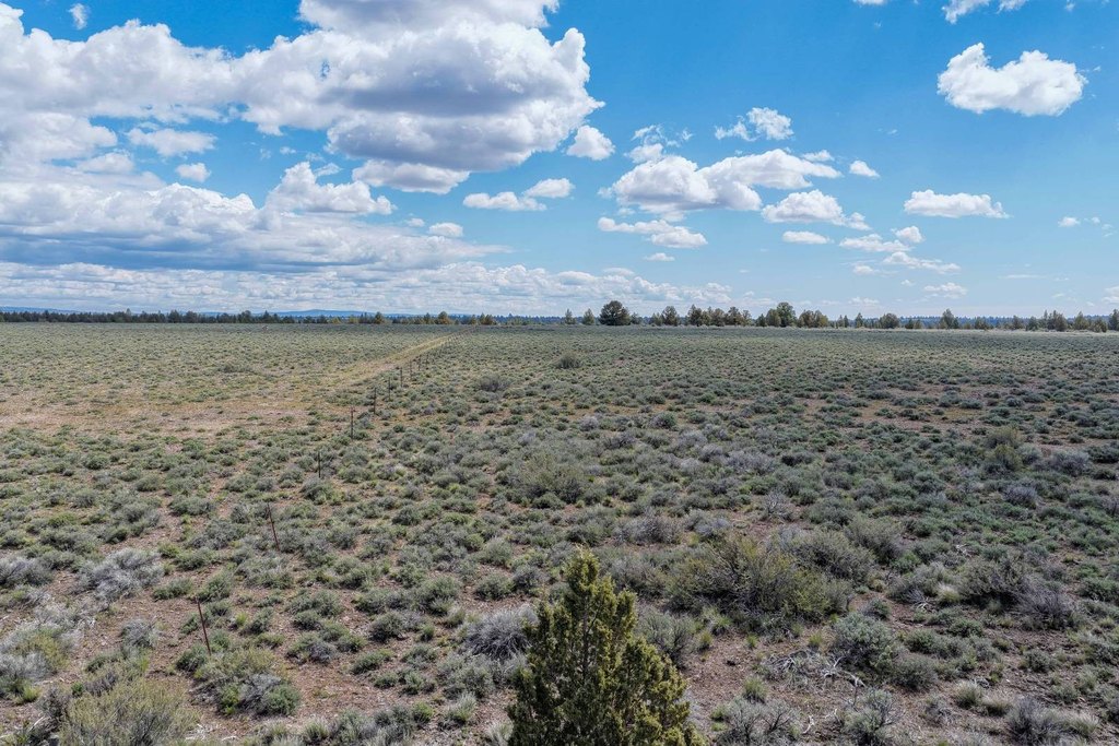
- Covers 360+/- acres of timber and range with perimeter and cross fencing already in place
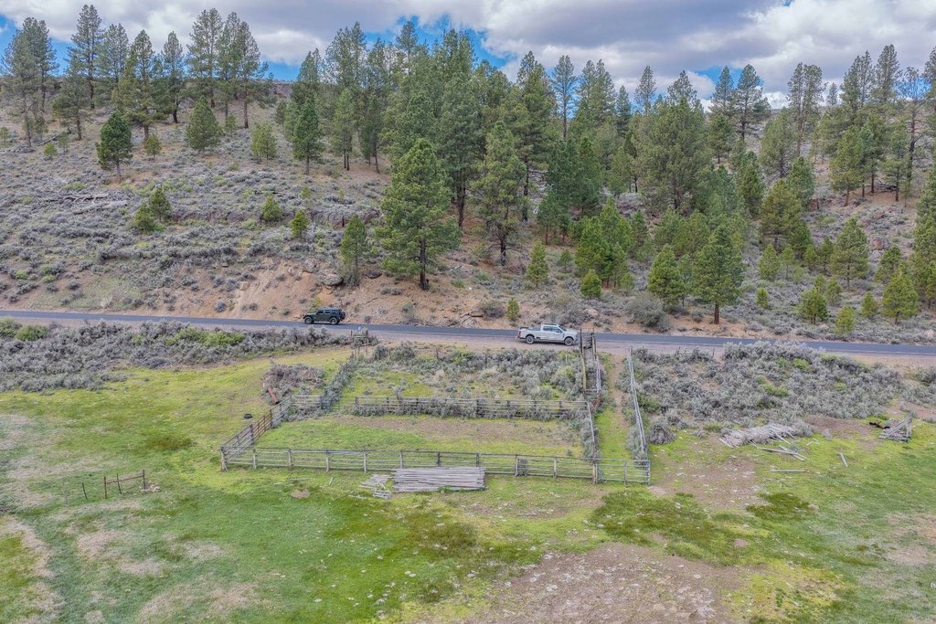
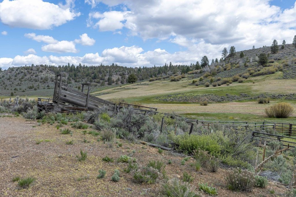
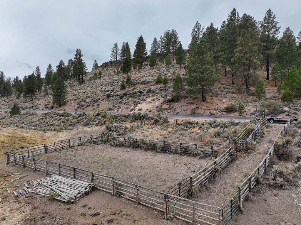
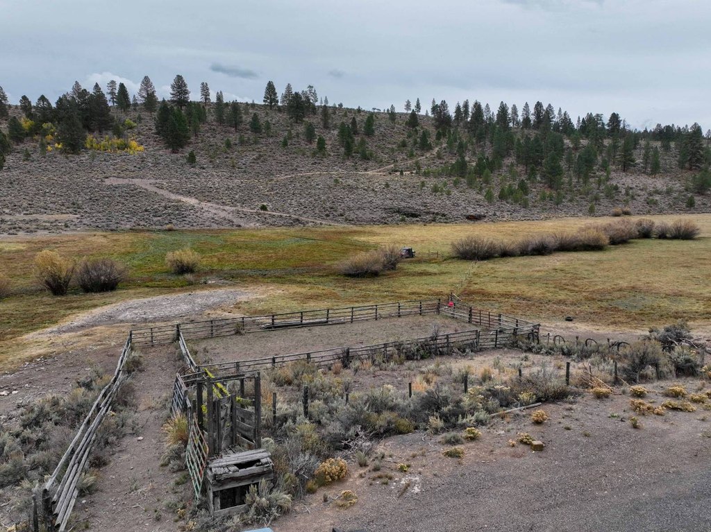
- Includes working corrals, loading chute, 2 holding pens, and alley
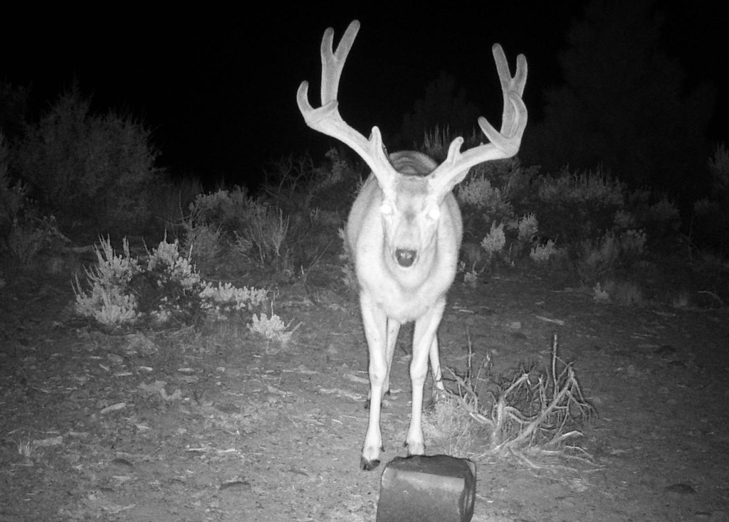
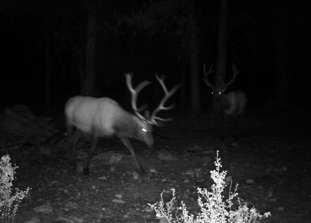
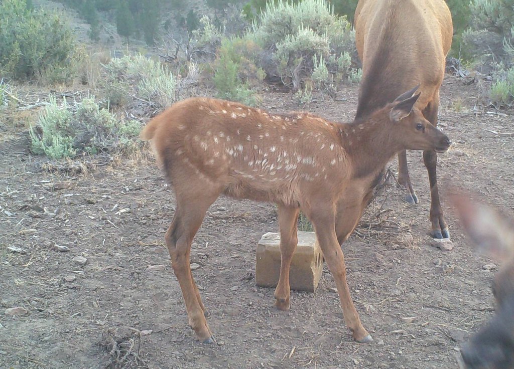
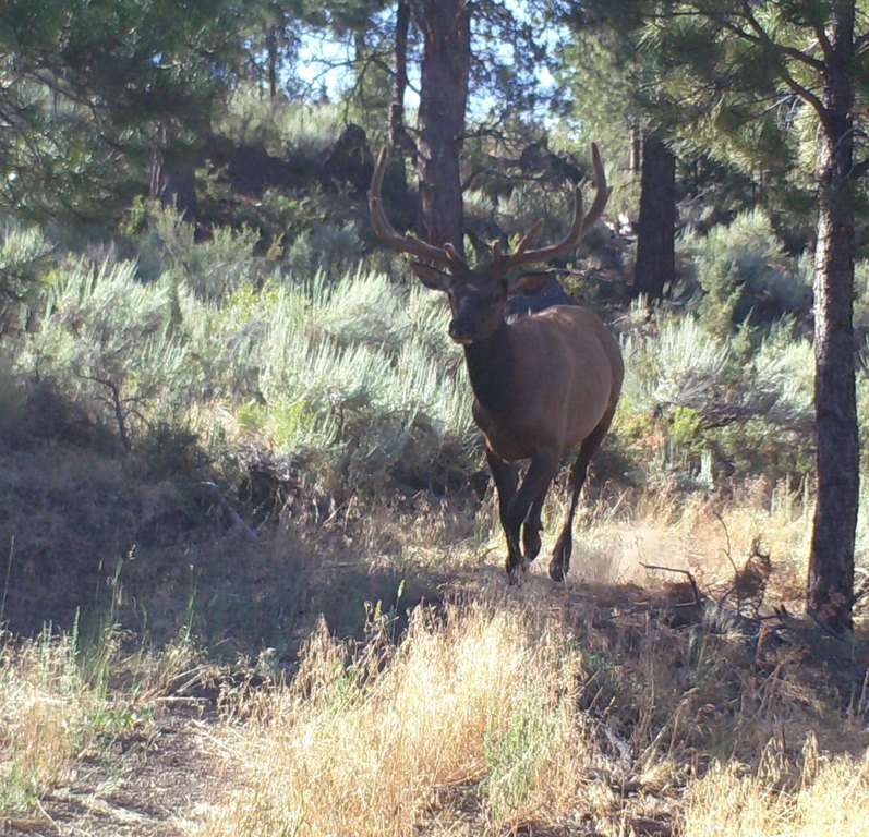
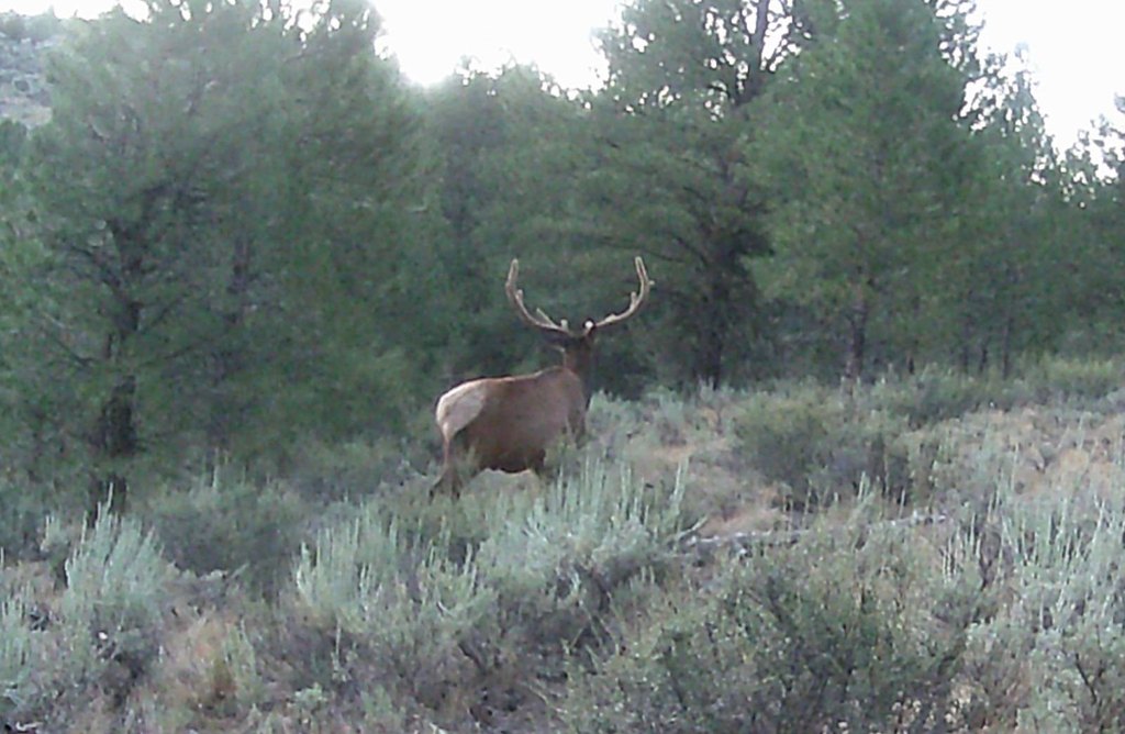
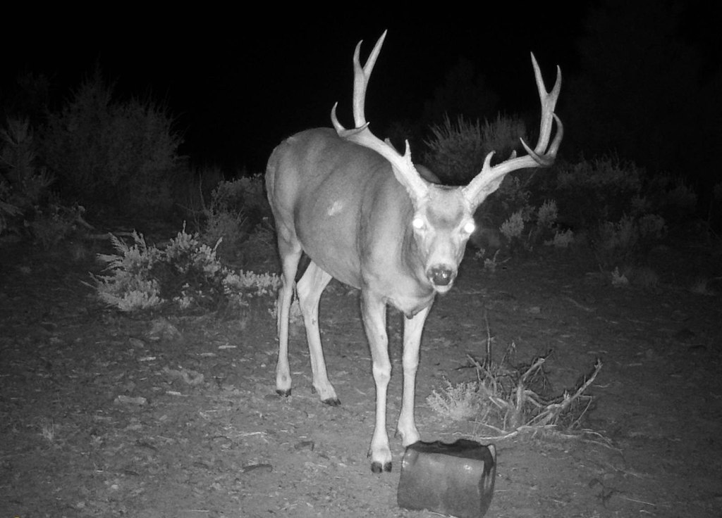
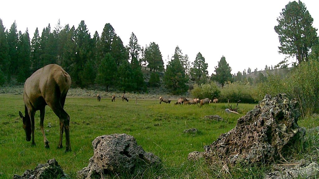
- In the Silvies Hunting Unit with Landowner Preference (LOP) tags; qualifies for hunting mule deer, elk, and upland game
Overview
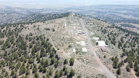
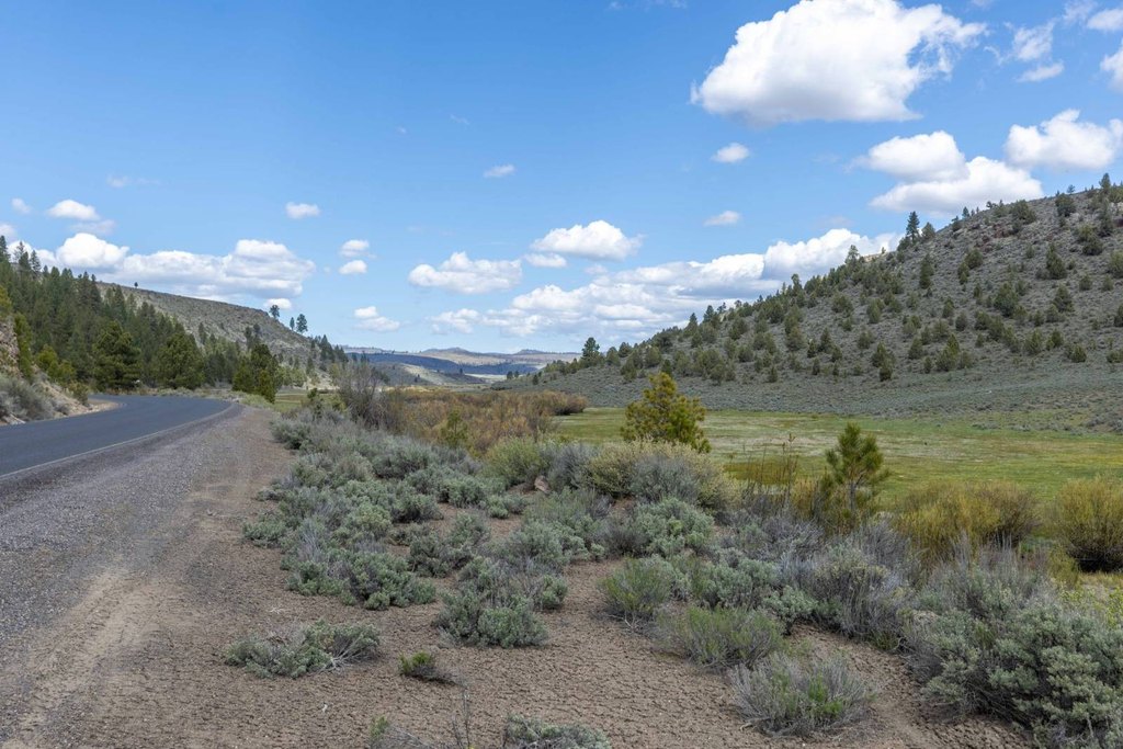
Fencing is already in place, with perimeter and cross fencing provided. The property also includes an additional 990+/- acres associated with a BLM allotment. Elevation varies from lowland meadows to high plateaus rising up to 250 feet, creating a mix of terrain across the ranch. The holding is located within the Silvies Hunting Unit and includes working improvements such as corrals, a loading chute, two holding pens, and an alley.
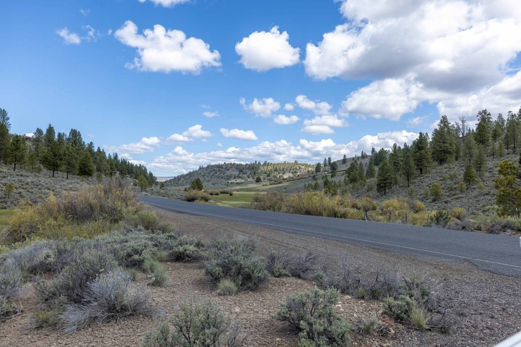
For buyers looking for a larger agricultural and outdoor use property, the irrigated meadow base and existing fencing support summer grazing and wildlife-oriented land management. Recreational use is reinforced by its placement within the Silvies Hunting Unit and eligibility for Landowner Preference (LOP) tags. Access is described via a county-maintained road approximately 30 minutes outside of Burns, Oregon.
Current Use by Public Records
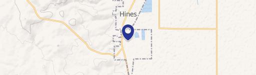
Map
- City
- Hines
- County
- Harney
- State
- Oregon
- Longitude
- -119.3081
- Latitude
- 43.7541