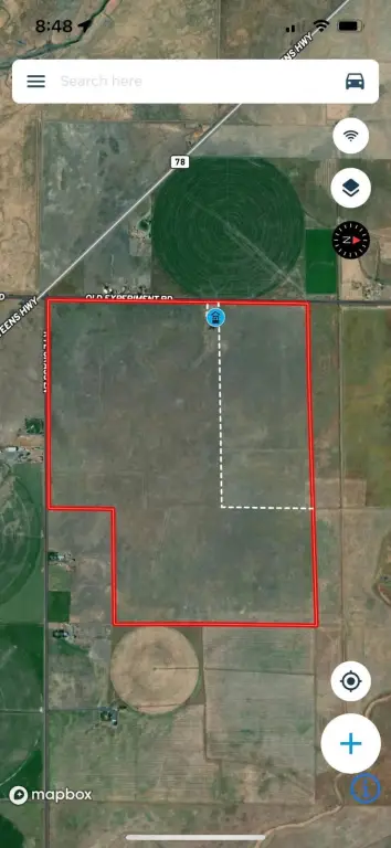
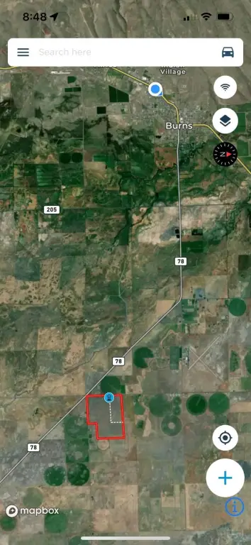
TL 2900 Old Experiment Road, Burns, OR 97720
- Added:
- Jan 30, 2026
- Days on Market:
- 148
- Last Refresh:
- Jun 27 at 4:06 pm
Property Features for TL 2900 Old Experiment Road
General Information
- Property type
- Land
- Property subtype
- Other
- Parking features
- Garage
- Standard status
- Active
- Lot size
- 416.00 Acres
Taxes and HOA fees
- Tax Annual Amount
- 803
Building Details
- Architectural style
- Other
Listing agent Curt Blackburn (541) 413-5777
Listing office Jett Blackburn Real Estate Inc. 707 Ponderosa Village, Burns, OR (541) 413-5660
Listing date Jan 30, 2026
Copyright © 2026 My State MLS. All rights reserved. All information provided by the listing agent/broker is deemed reliable but is not guaranteed and should be independently verified.
HighLights
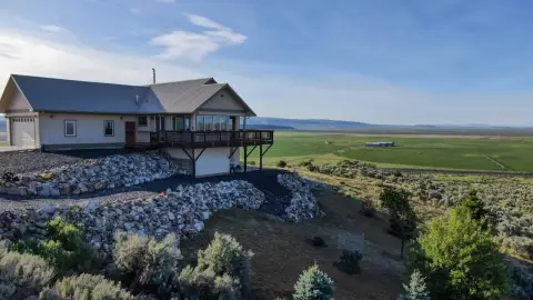
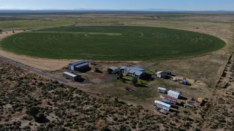
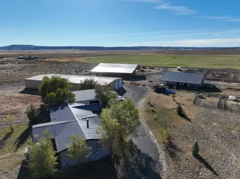
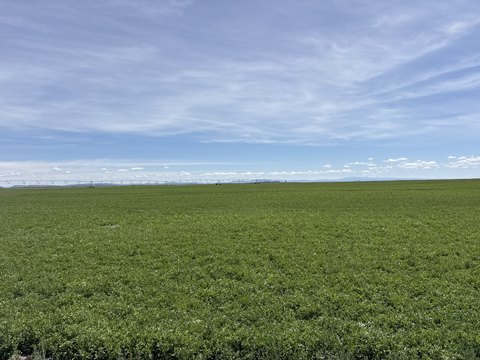
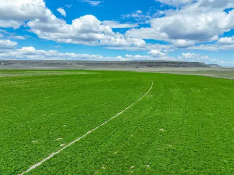
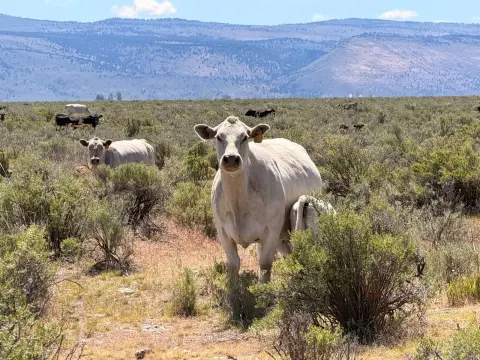
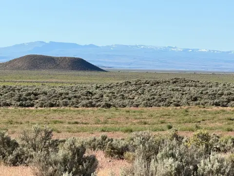
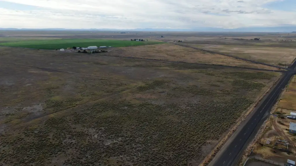
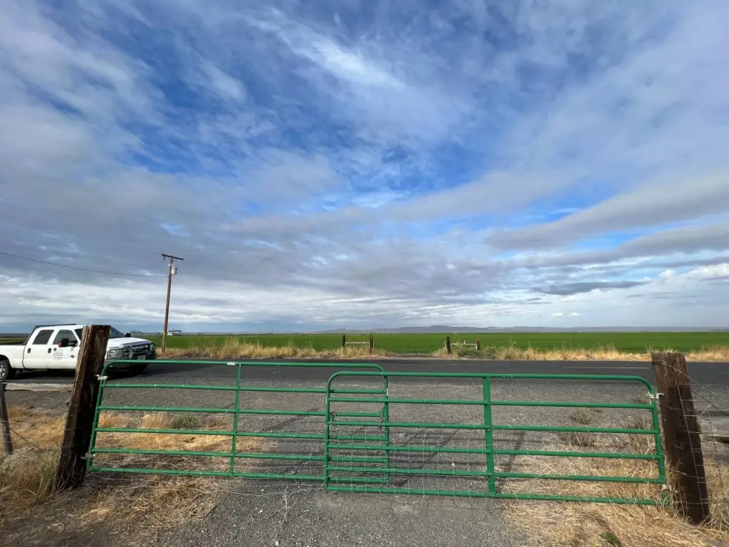
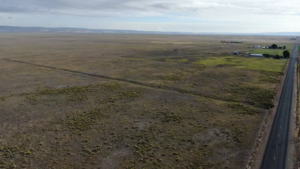
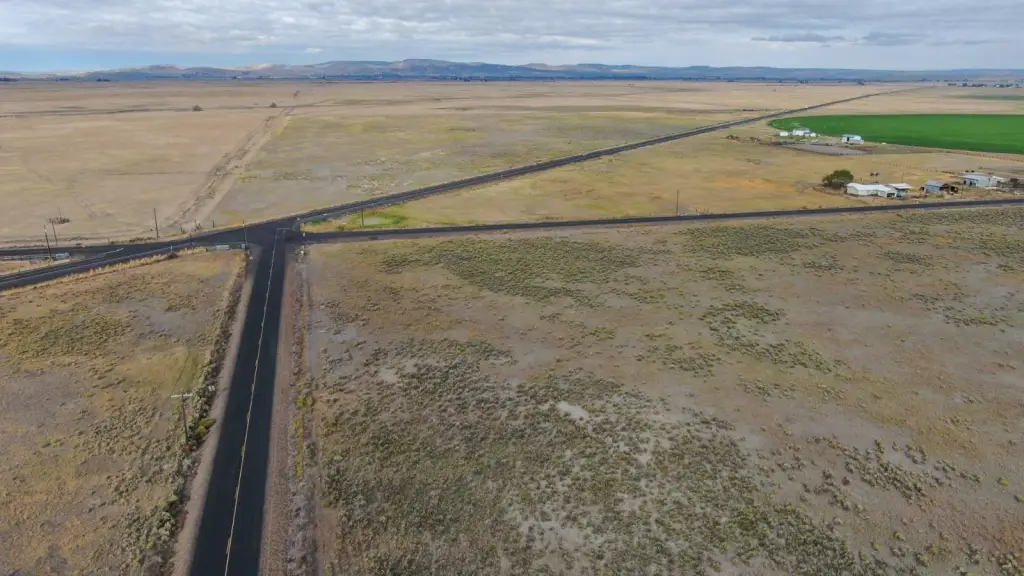
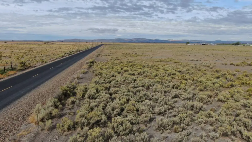
- Expansive 416‑acre property, great for livestock, agriculture, or subdivision.
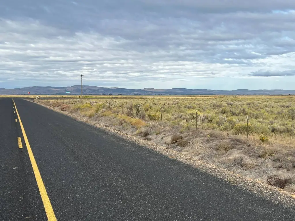
- Excellent accessibility via two paved county roads and proximity to State Highway 78.
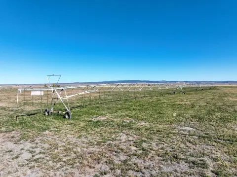
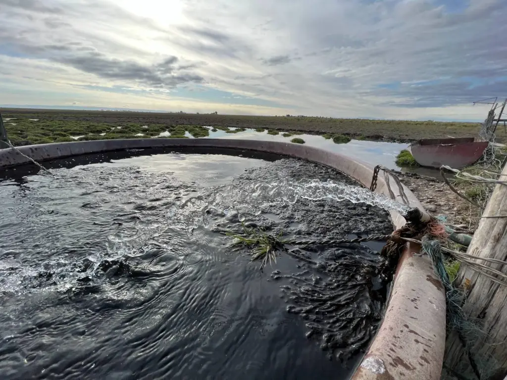
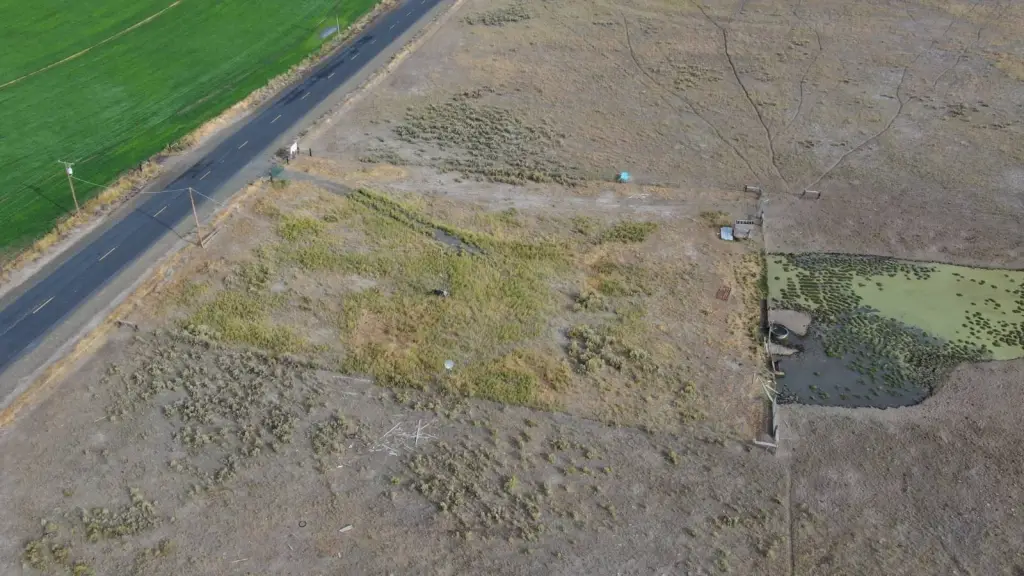
- Includes a domestic well drilled in 1975, producing 60 gallons per minute.
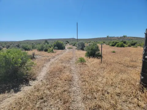
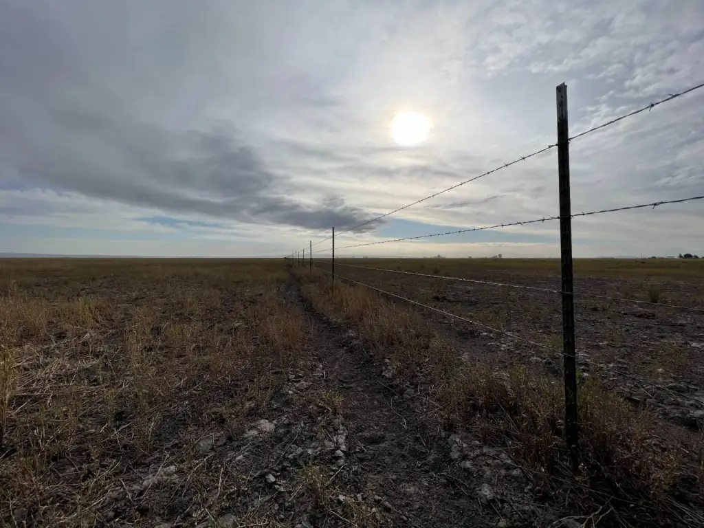
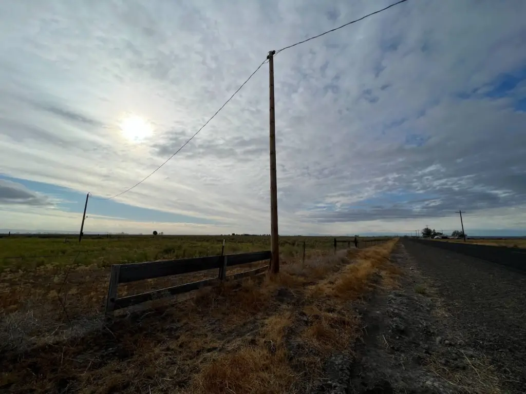
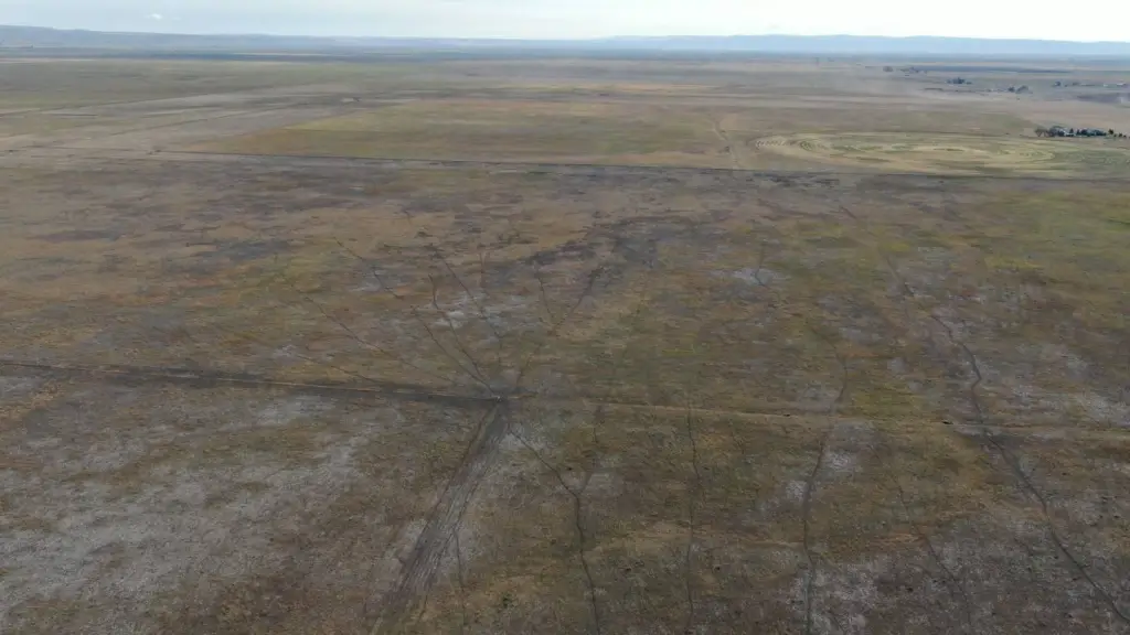
- Full fencing and existing two‑track dirt roads throughout the property.
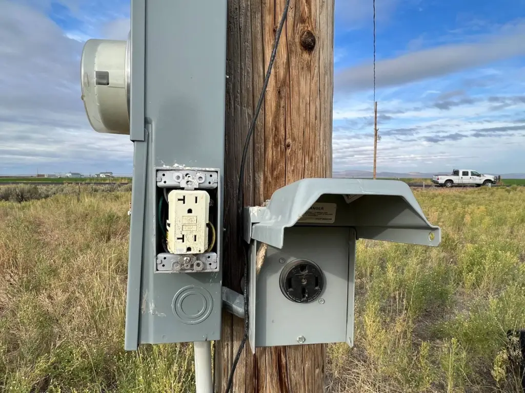
- Power lines border the west and south edges of the land.
- Older flood irrigation water rights associated with over 300 acres, dating back to 1953.
Overview
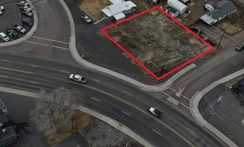
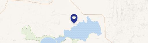
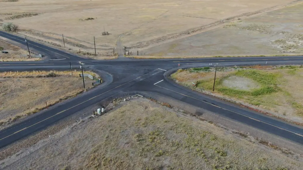
The land is located seven miles southeast of Burns, Oregon, at the intersection of Old Experiment Road and Ryegrass Lane. Access is provided via two paved county roads, with connection to State Highway 78 noted in the materials. The parcel carries an Exclusive Farm Use - 2 designation. The majority of the land lies outside the FEMA 100-year floodplain, which is reflected in the stated flood risk profile.
This parcel is suited for buyers seeking continued agricultural use or long-term farmland development planning, supported by established fencing and a producing domestic well. The presence of older flood irrigation rights may be relevant for irrigation-focused operations, with the historical note on limited delivery considered. Financing is offered as cash or bank financing, and current taxes are approximately $803.40, according to the listing information.
Current Use by Public Records
Location Insight
- Map
- Local Demand
- City
- Burns
- County
- Harney
- State
- Oregon
- Longitude
- -118.9374
- Latitude
- 43.5575