TL 1200 Sodhouse Lane, Burns, OR 97720
- Added:
- May 25, 2026
- Days on Market:
- 24
- Last Refresh:
- Jun 17 at 2:06 am
Property Features for TL 1200 Sodhouse Lane
General Information
- Property type
- Land
- Property subtype
- Other
- Parking features
- Garage
- Standard status
- Active
- Lot size
- 160.00 Acres
Taxes and HOA fees
- Tax Annual Amount
- 200
Building Details
- Architectural style
- Other
Listing agent Colby Marshall (541) 413-5772
Listing office Jett Blackburn Real Estate Inc. 707 Ponderosa Village, Burns, OR (541) 413-5660
Listing date May 25, 2026
Copyright © 2026 My State MLS. All rights reserved. All information provided by the listing agent/broker is deemed reliable but is not guaranteed and should be independently verified.
HighLights
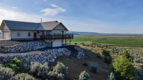
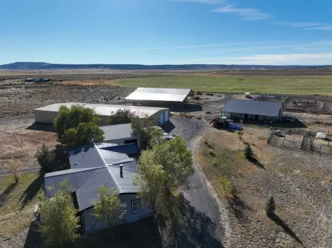
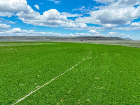
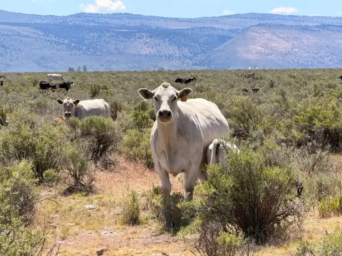
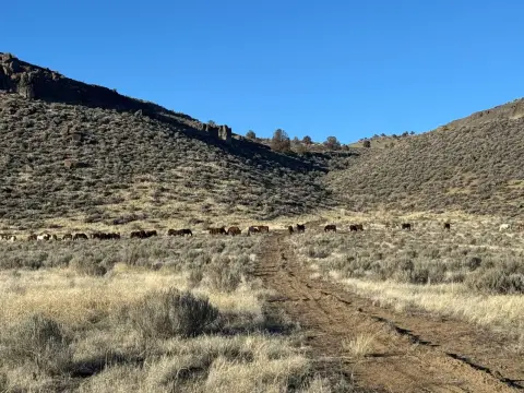
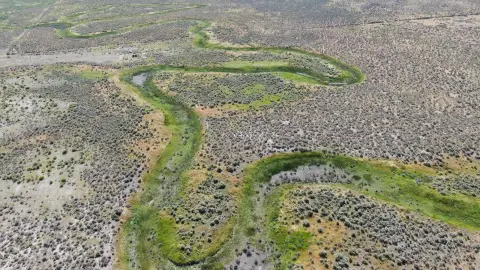
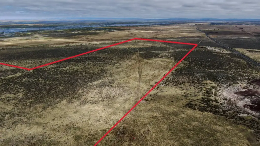
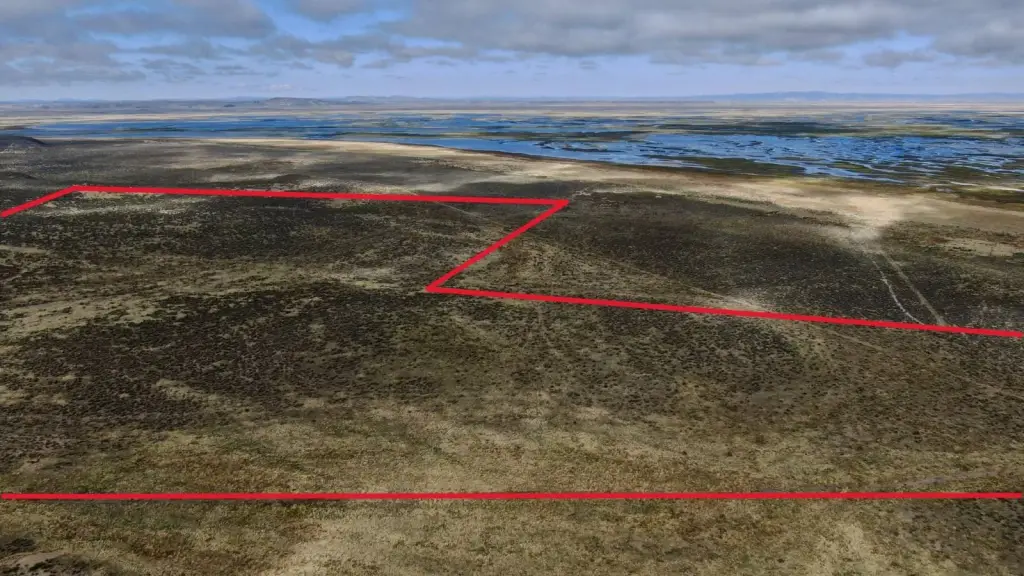
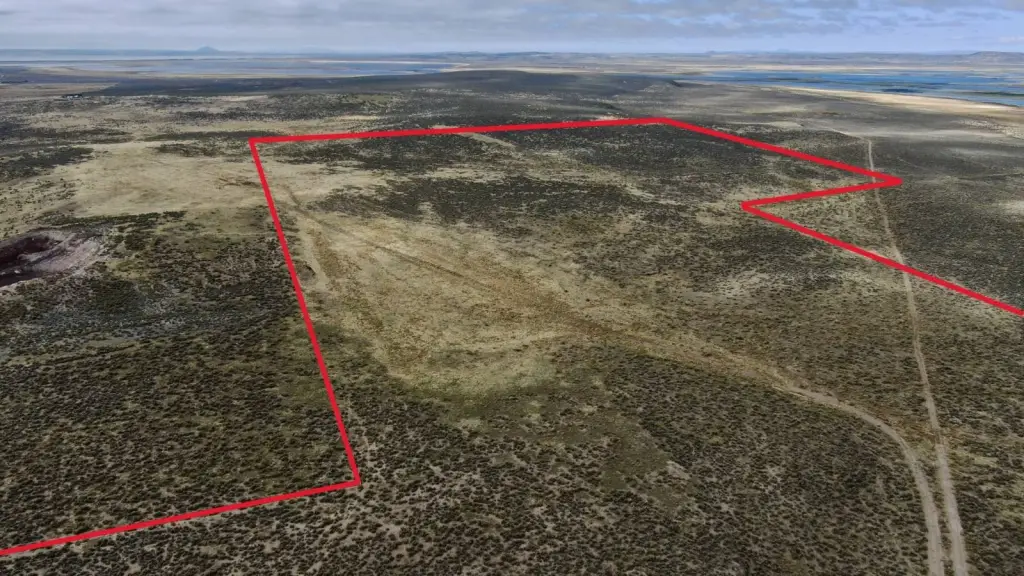
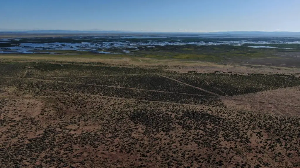
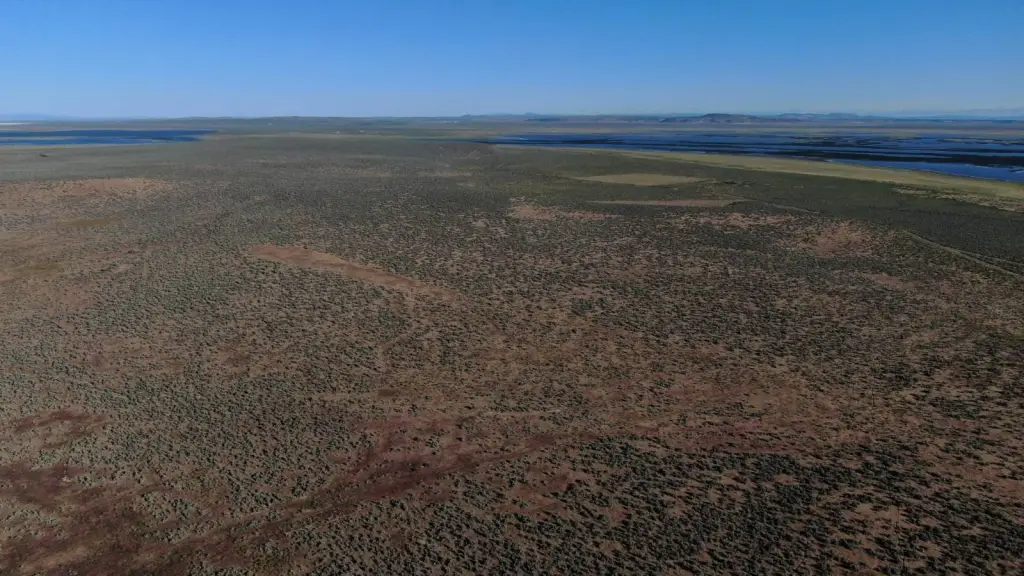
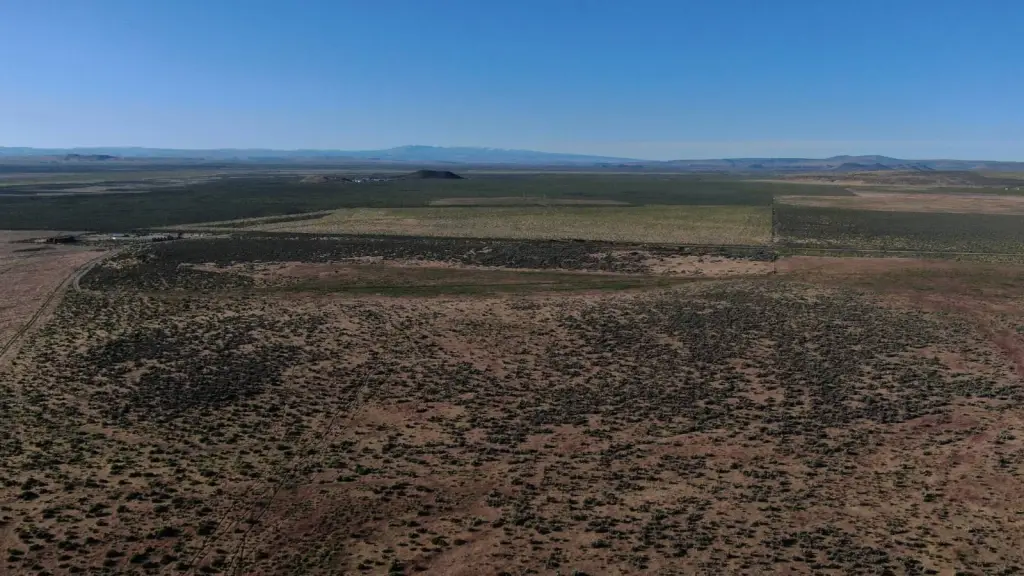
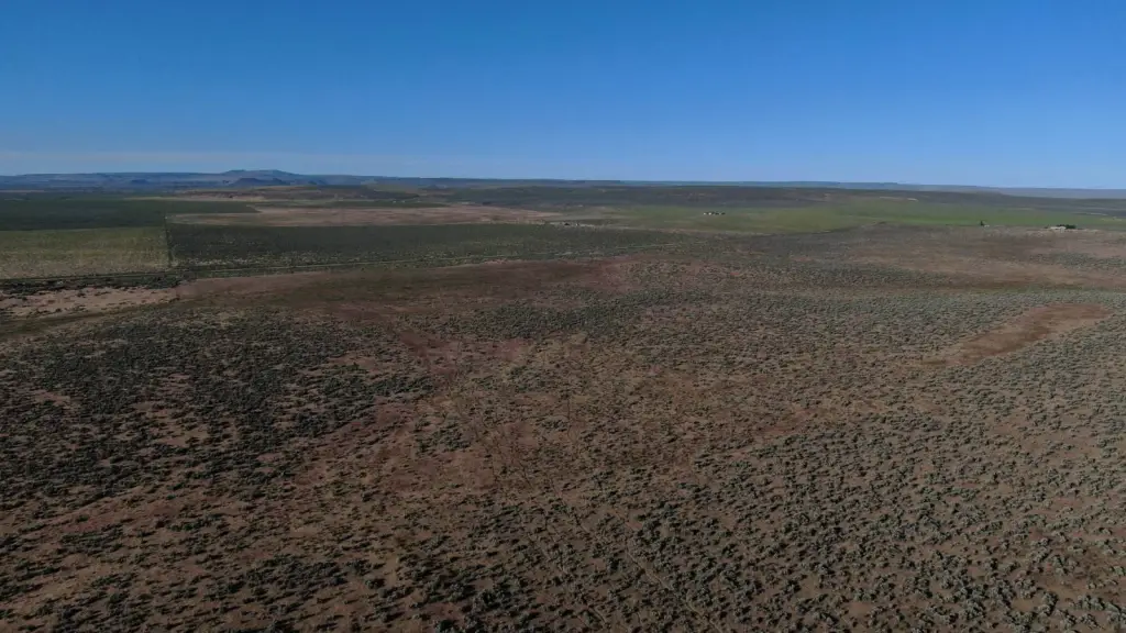
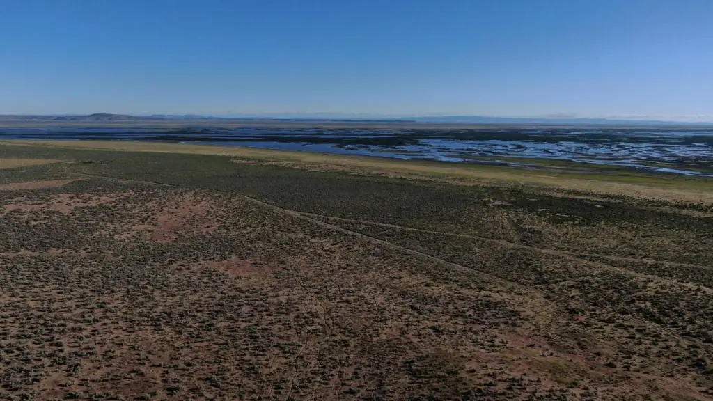
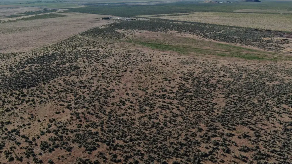
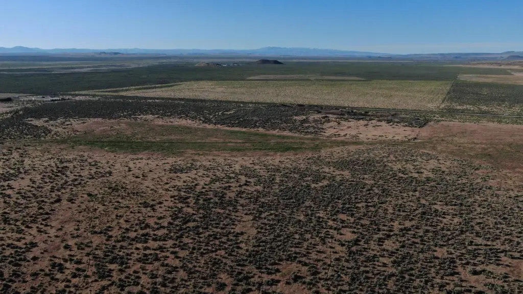
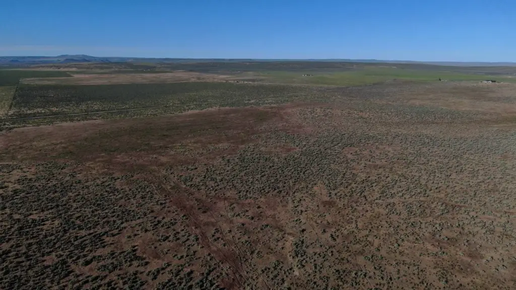
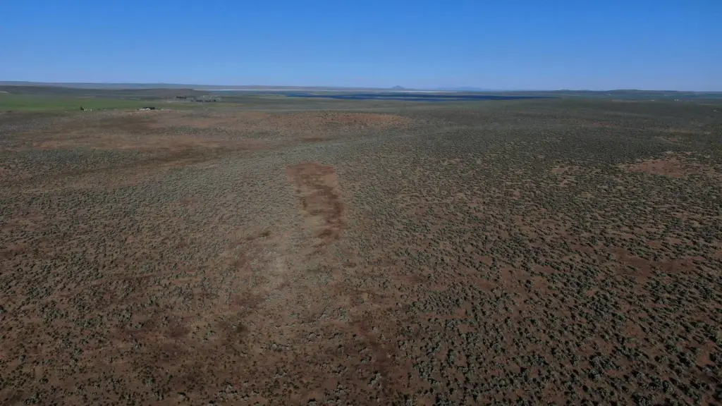
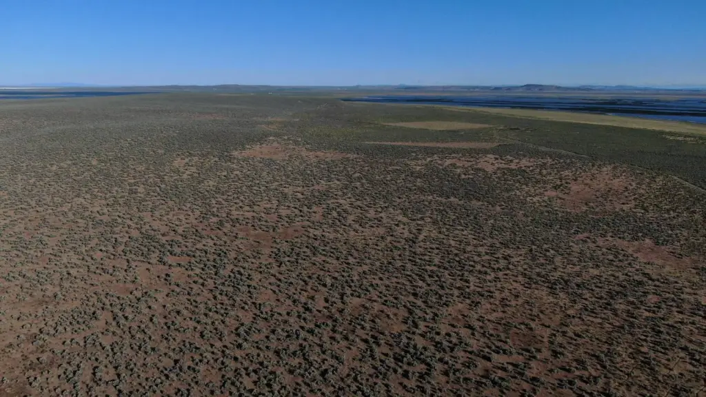
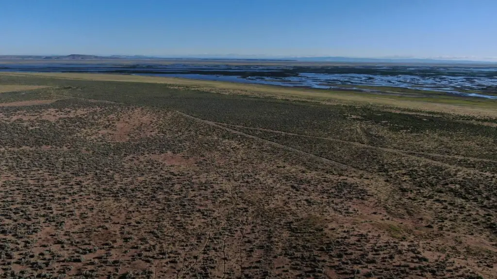
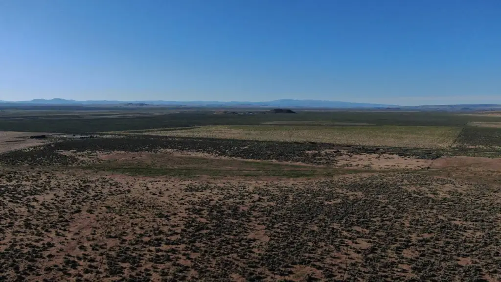
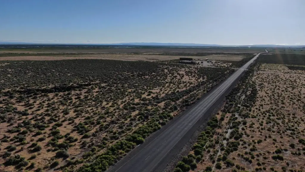
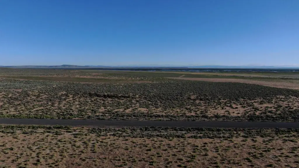
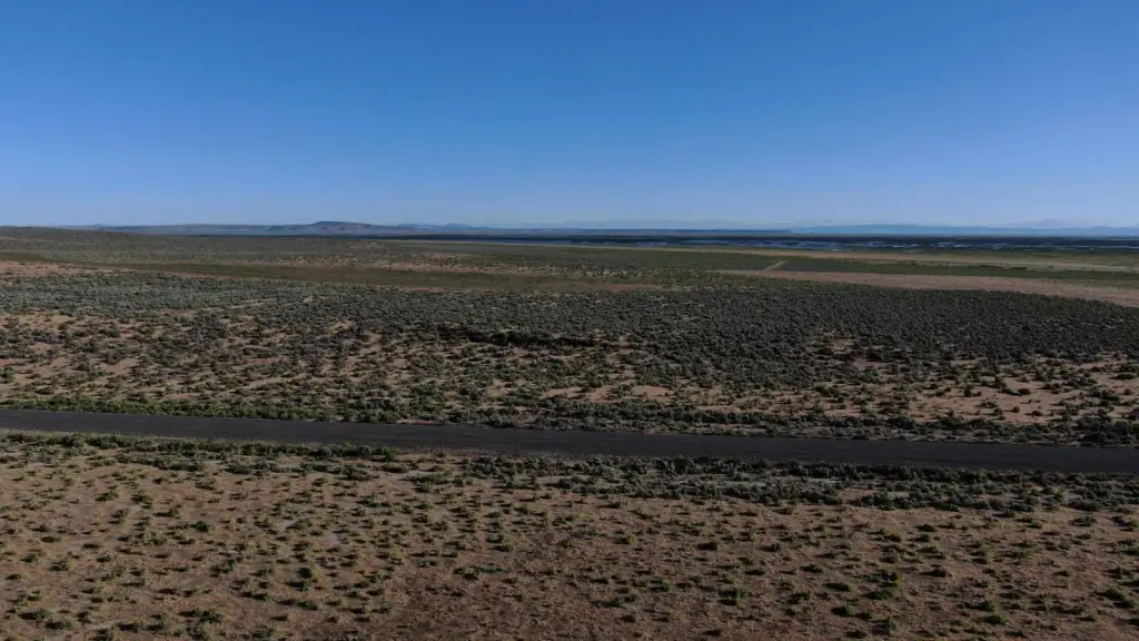
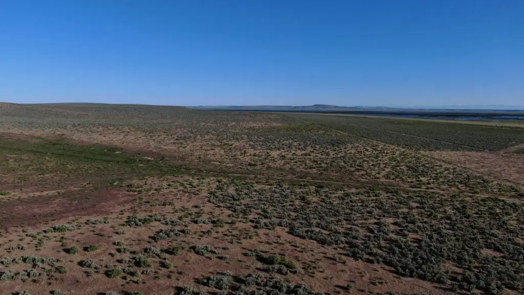
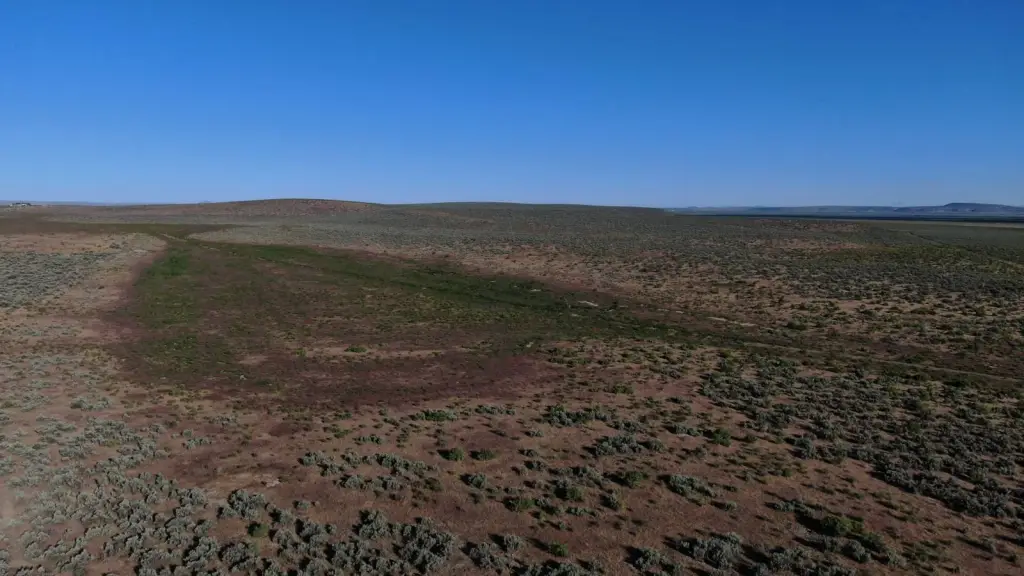
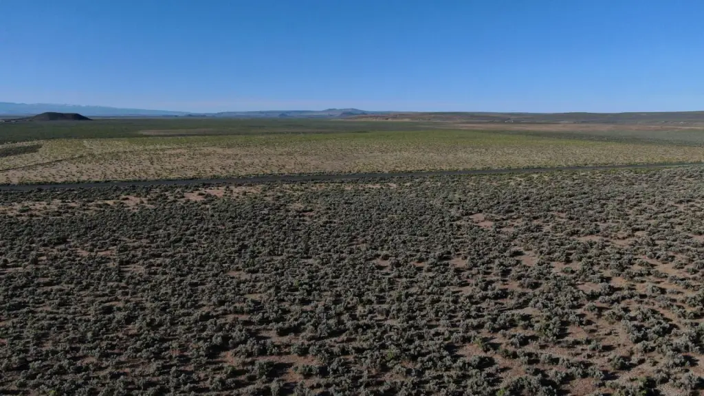
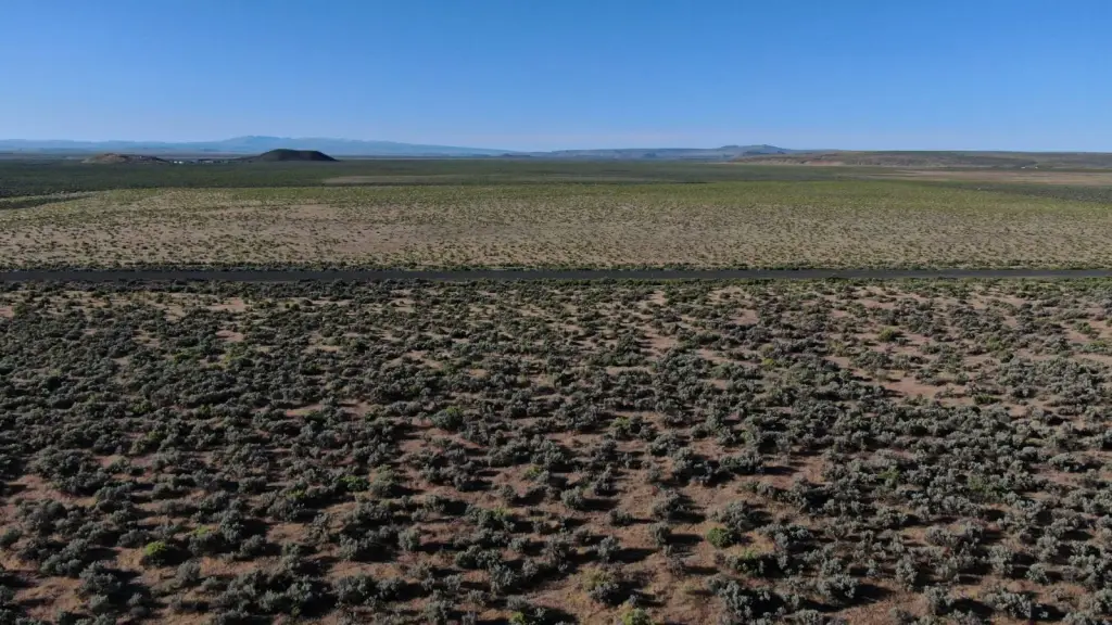
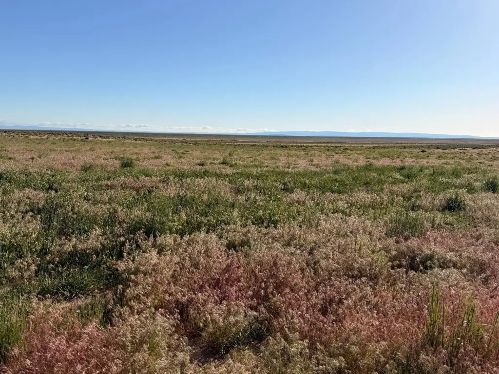
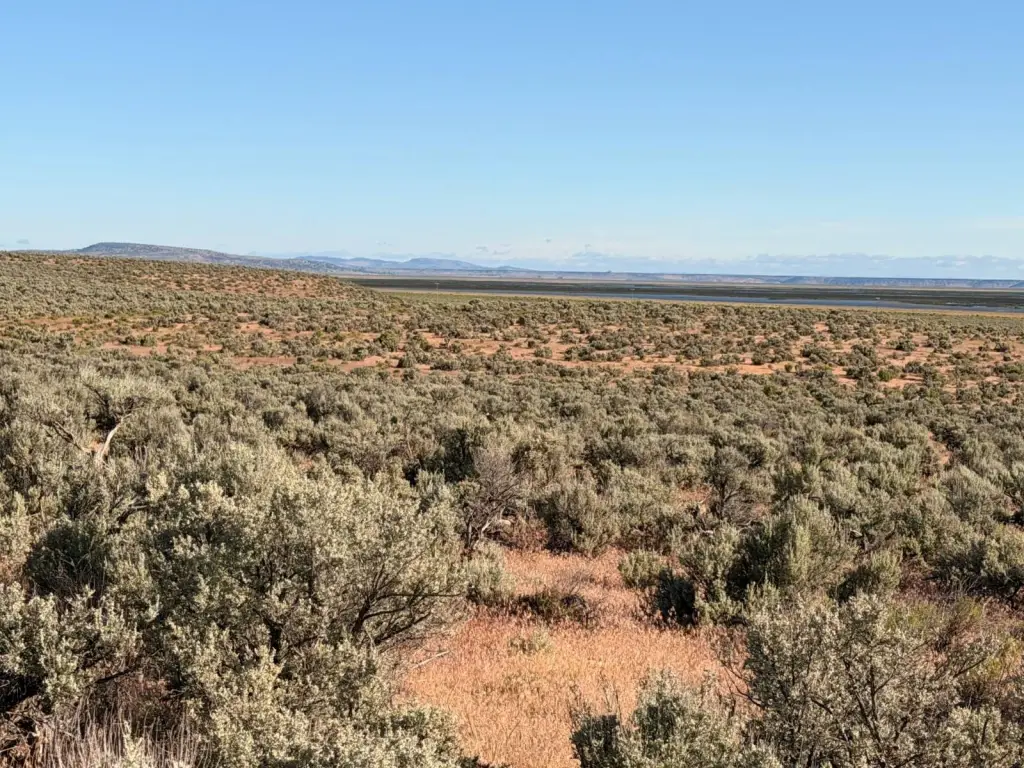
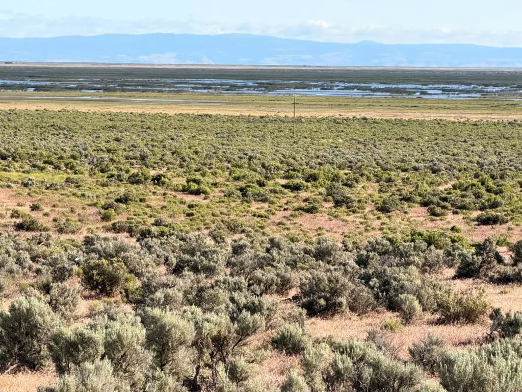
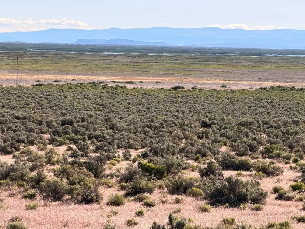
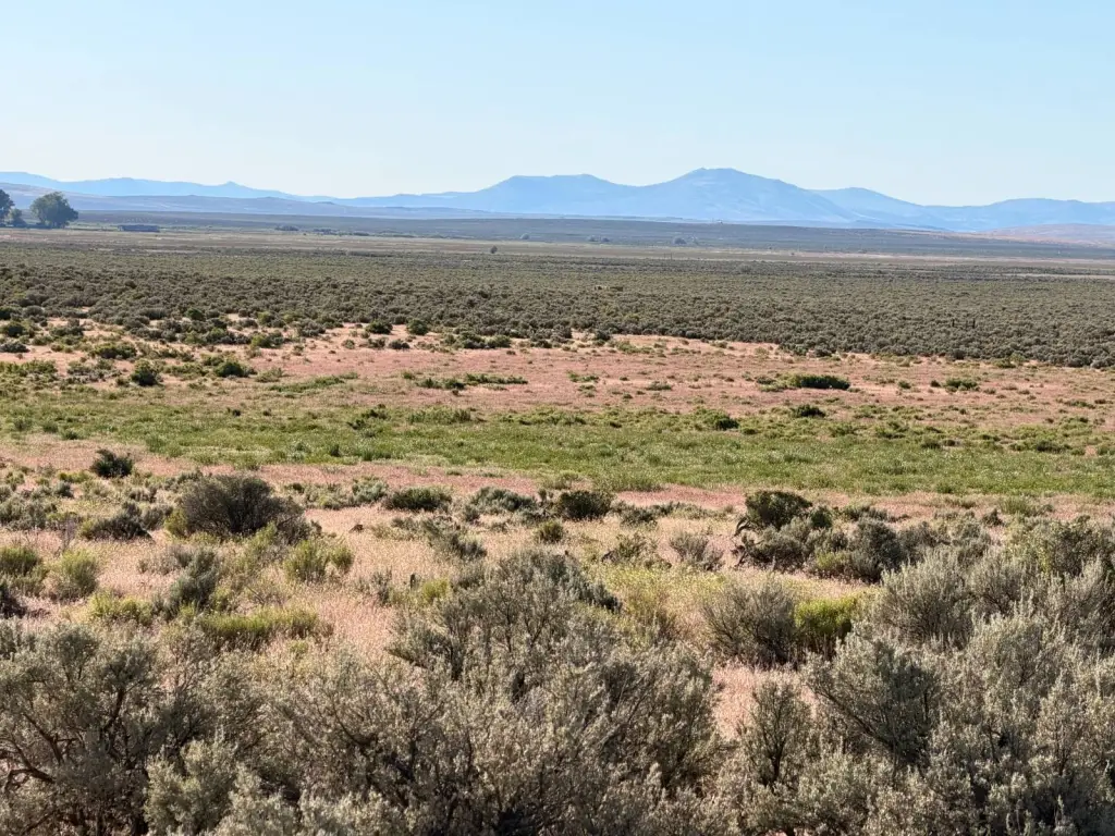
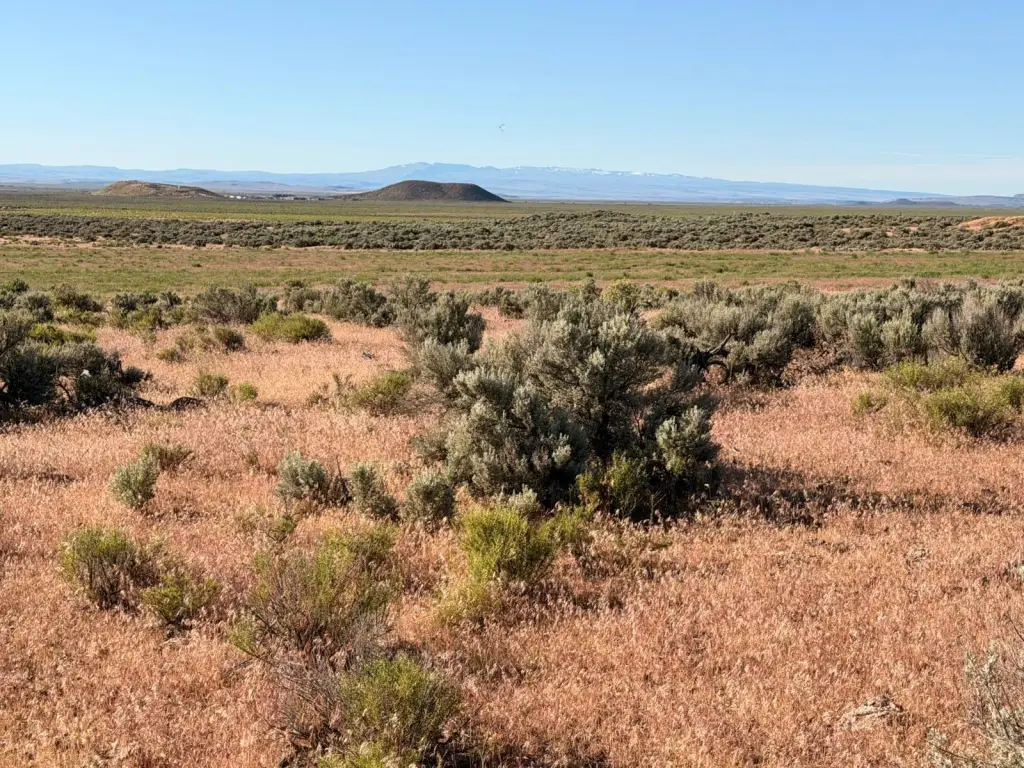
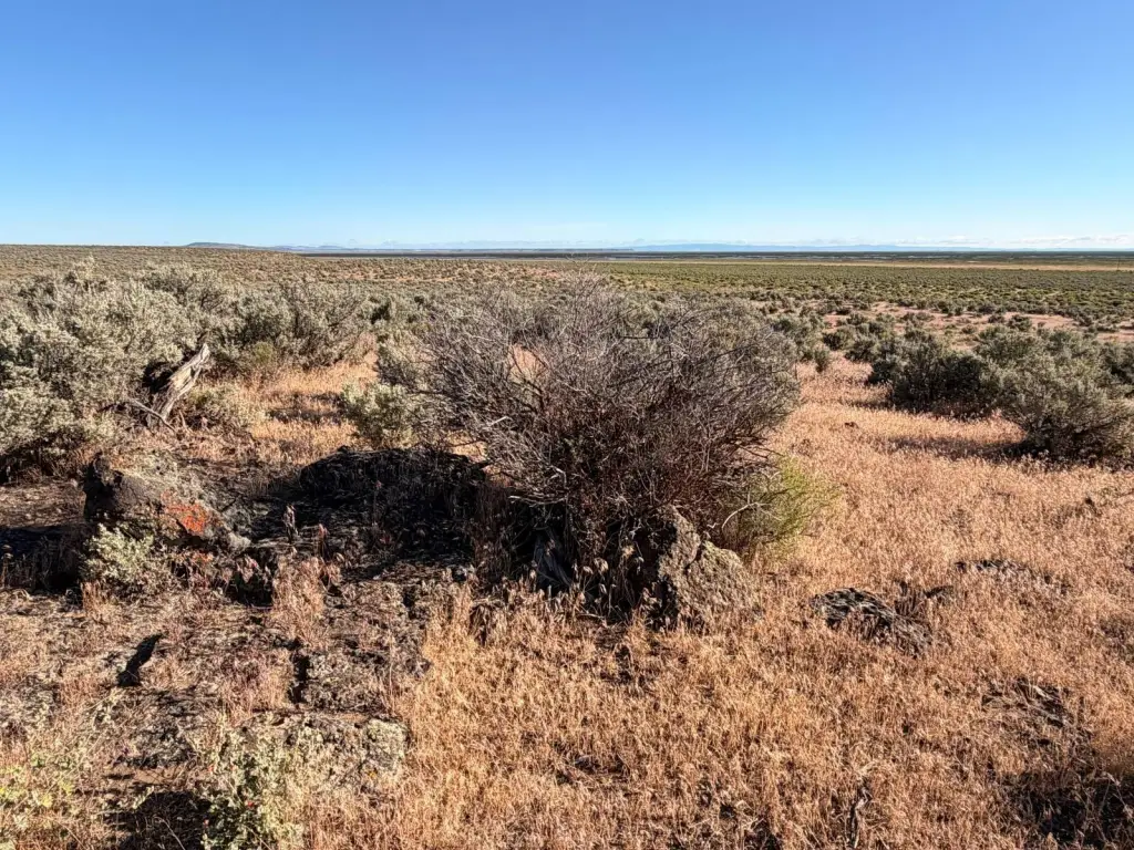
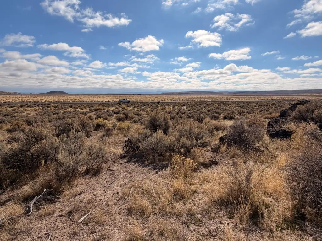
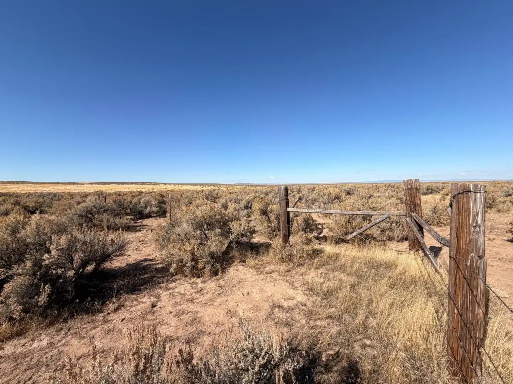
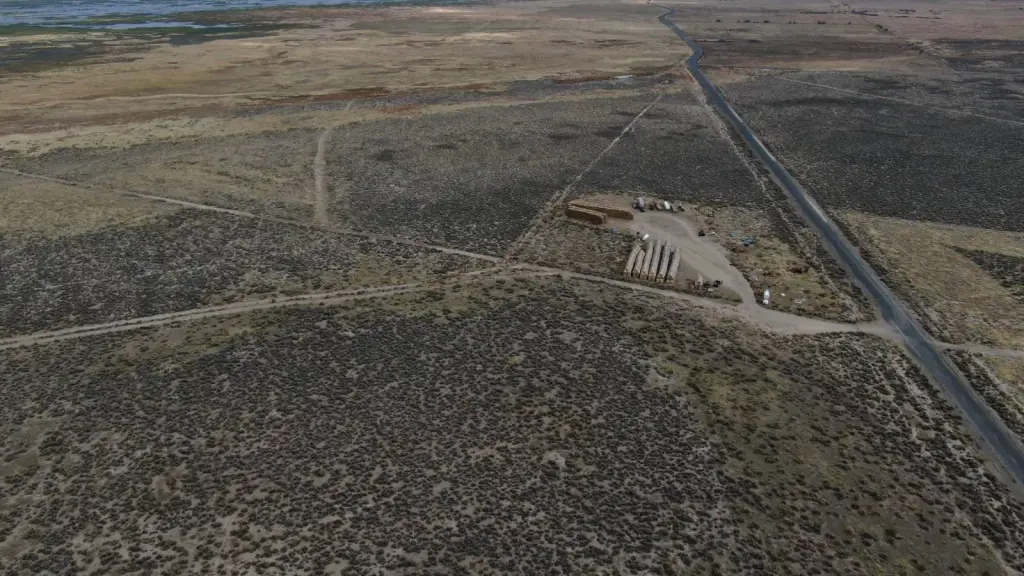
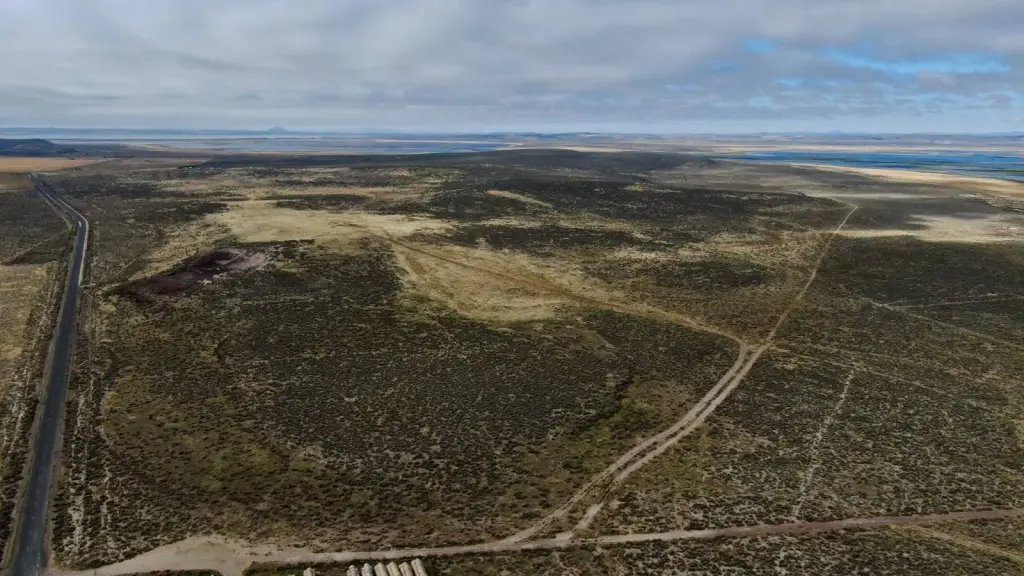
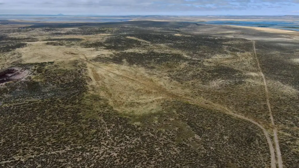
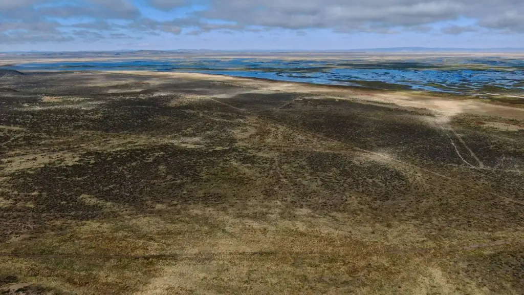
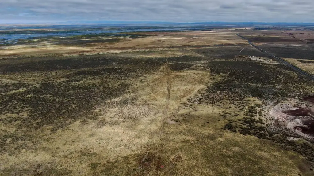
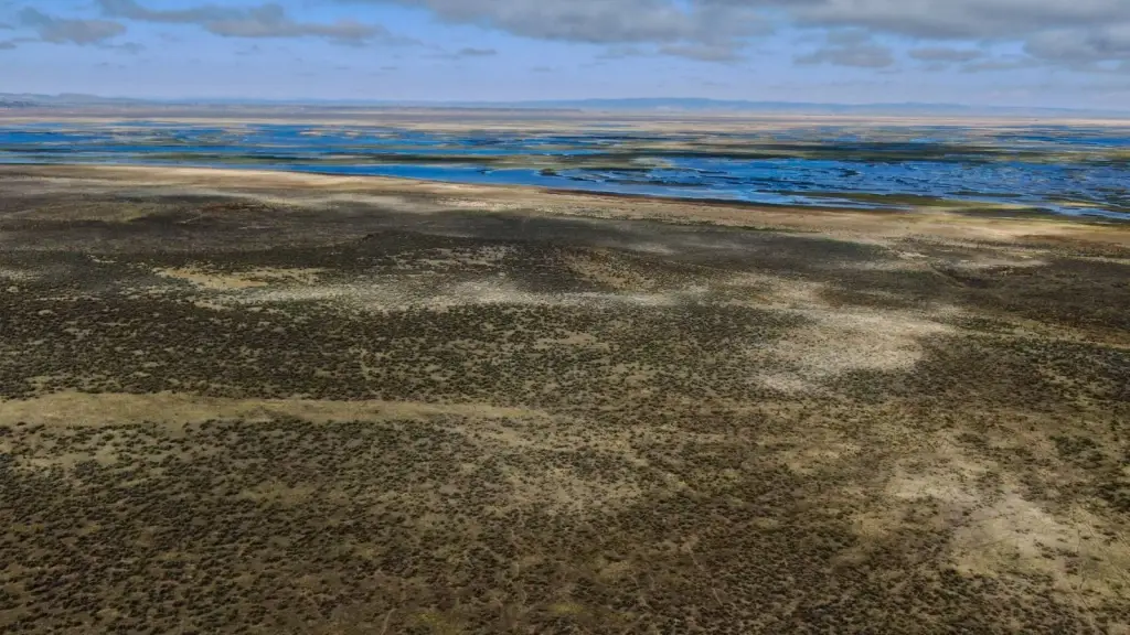
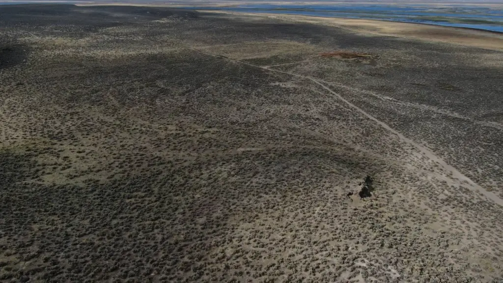
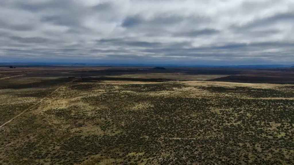
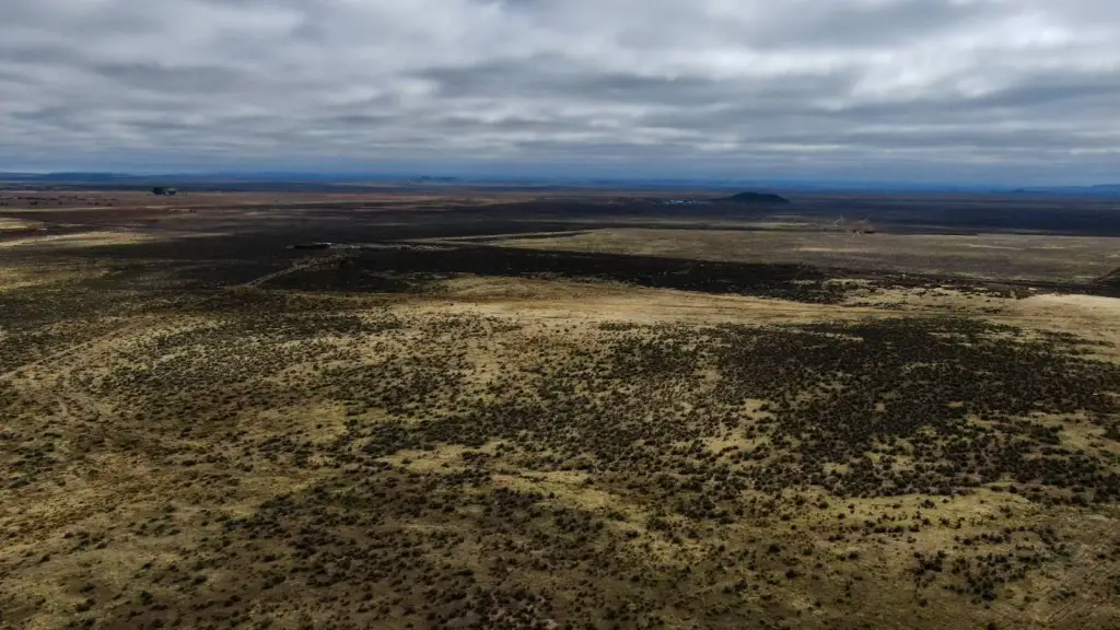
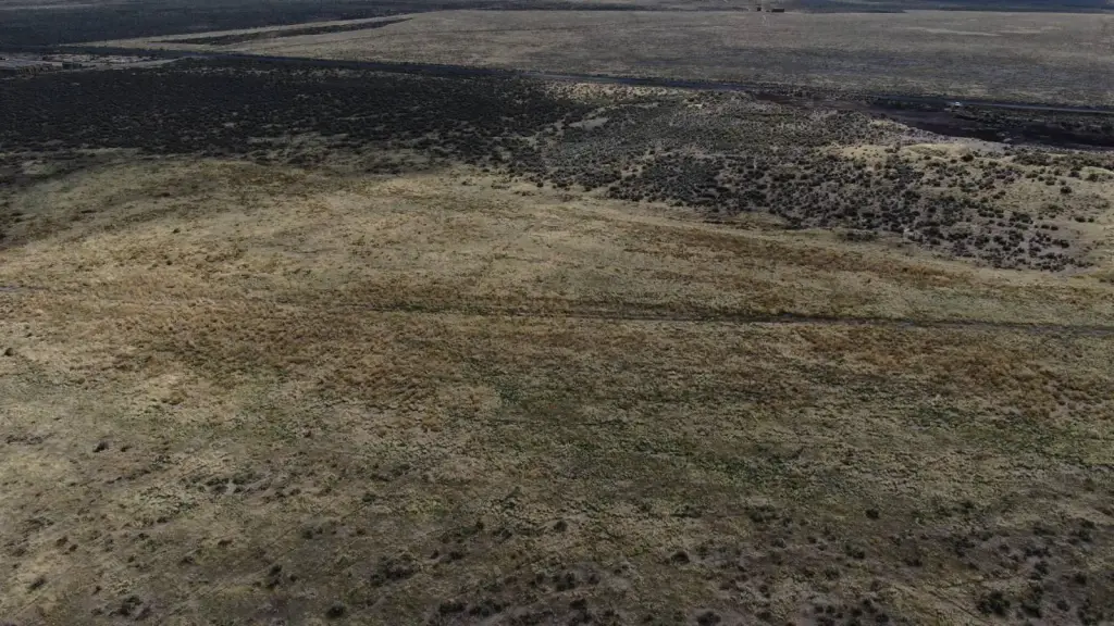
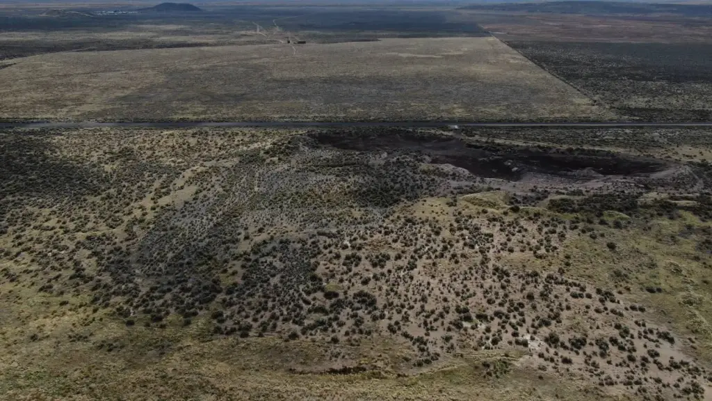
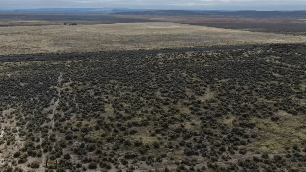
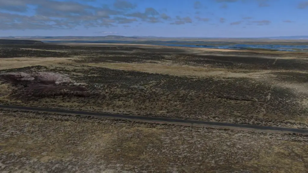
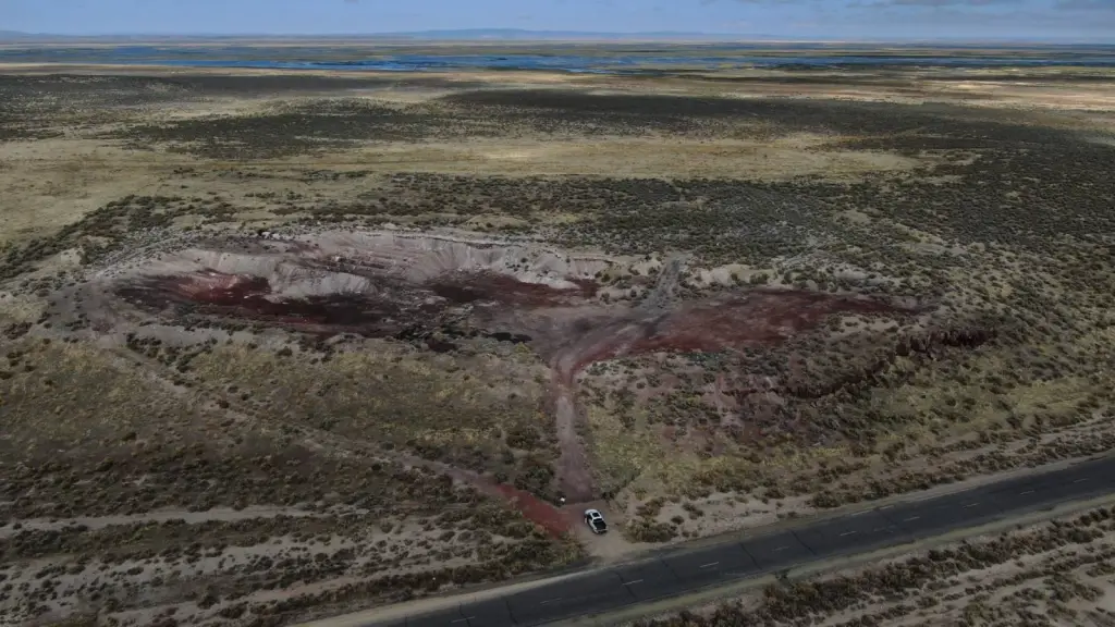
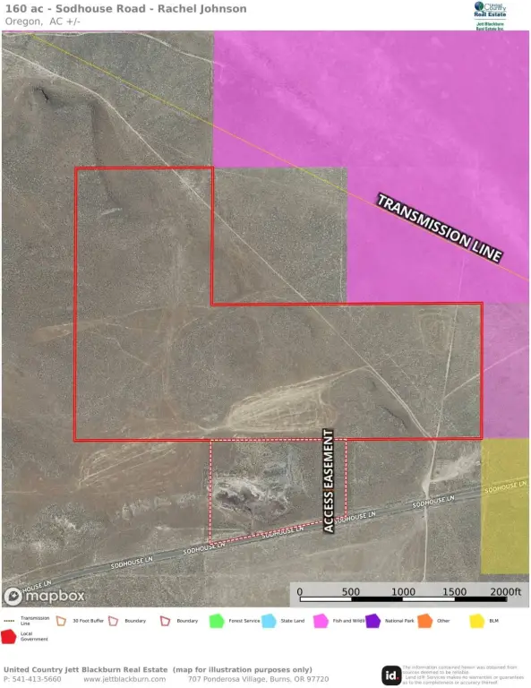
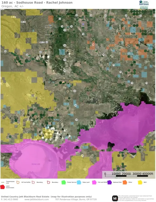
- 160‑acre refuge‑bordering property adjacent to Malheur National Wildlife Refuge
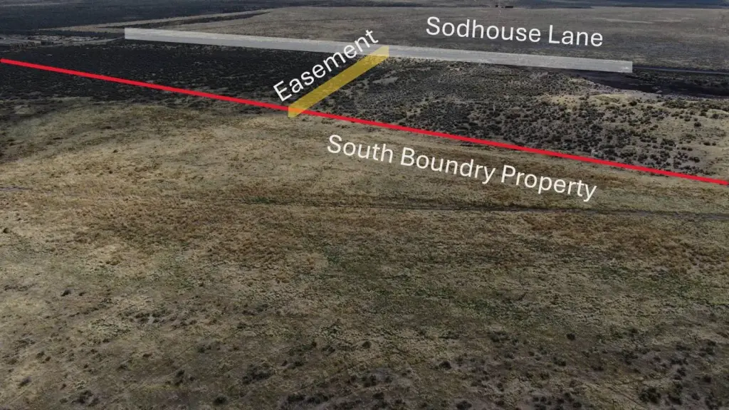
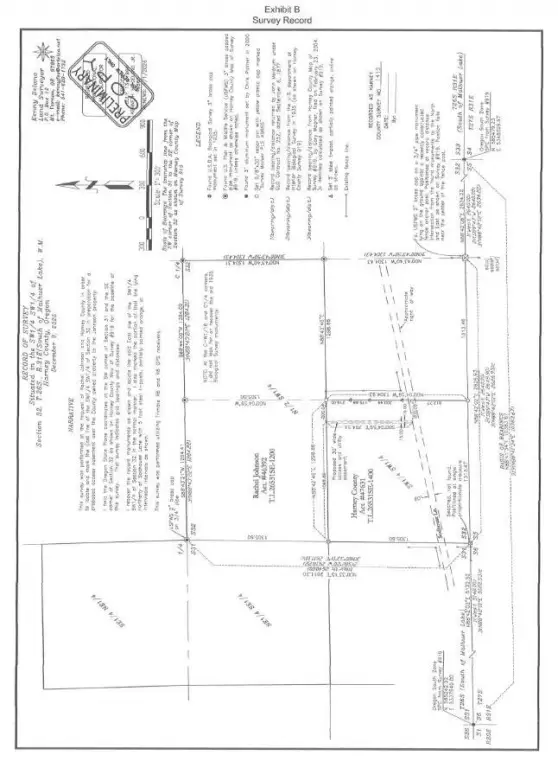
- Legal access via Sodhouse Lane; property is eligible for residential development under Oregon land use regulations
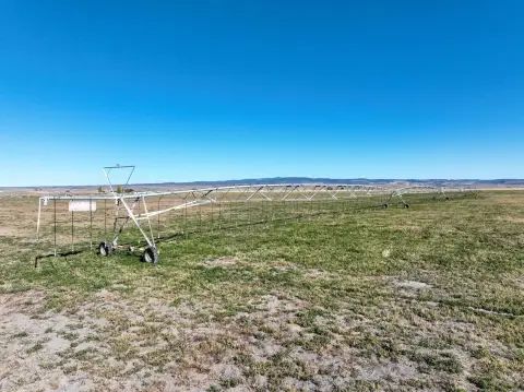
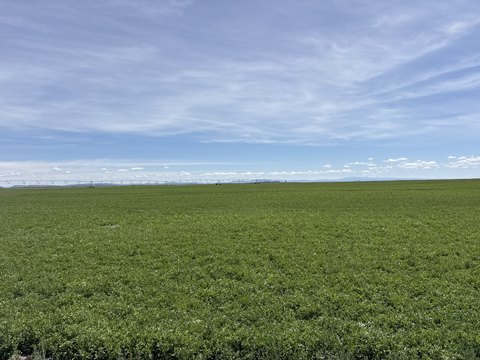
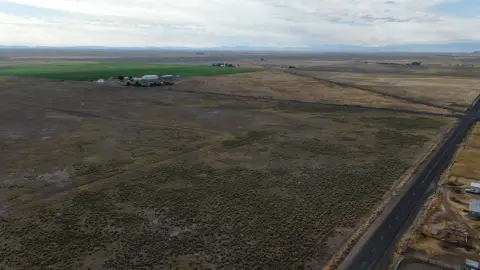
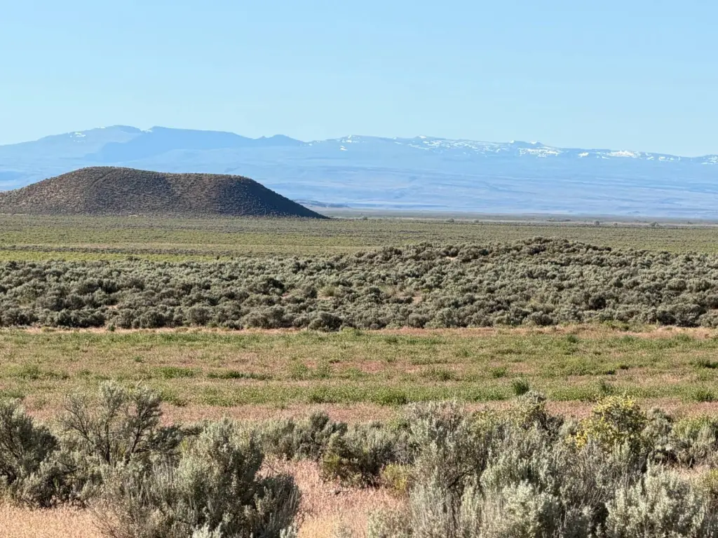
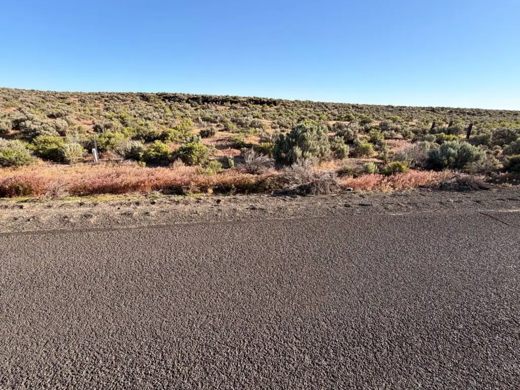
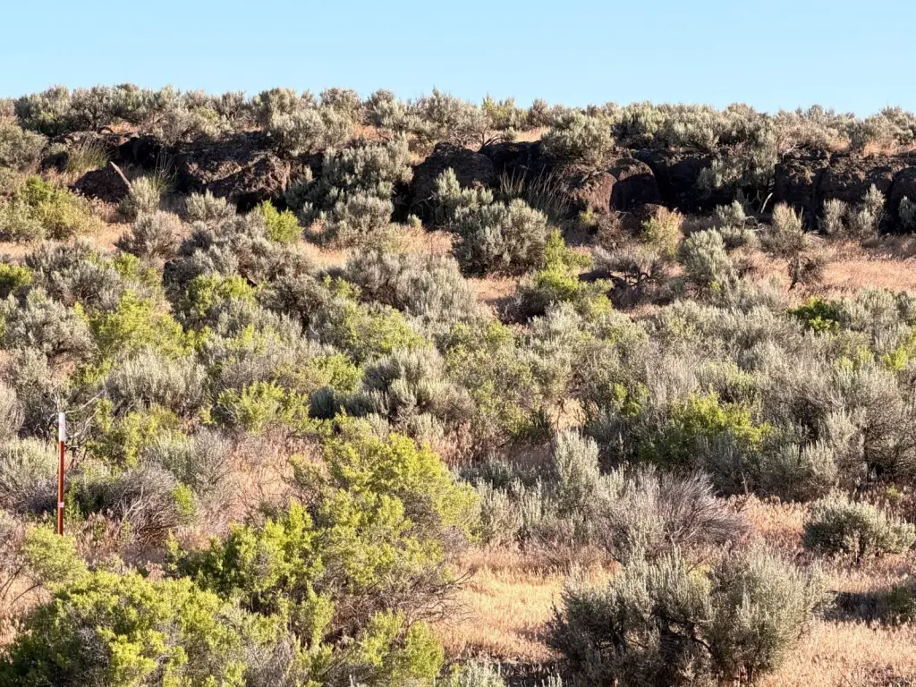
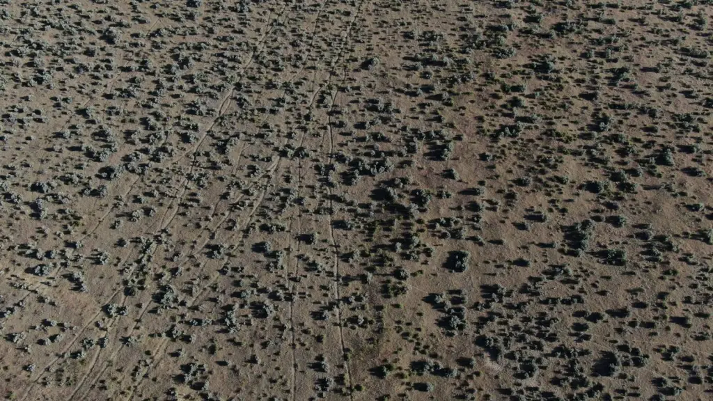
- Gently rolling high desert land with native sagebrush and bunchgrass cover
- Panoramic views across Harney Basin to the snow‑capped Steens Mountains
- No well or power currently on the property; transmission line located nearby
- Historic family‑held property; originally patented by President Woodrow Wilson
Overview
Legal access is provided via Sodhouse Lane. The property is represented as eligible for residential development under Oregon land use regulations. It is also described as bordering the Malheur National Wildlife Refuge, creating an exceptionally natural setting for seasonal wildlife activity.
This parcel can fit buyers looking for a homesite or private recreational retreat with direct adjacency to a major wildlife refuge. Buyers should plan for off-site or future utilities, given the absence of a well and power on the property today. With legal access in place and residential eligibility referenced under Oregon regulations, the land provides a foundation for developing and personalizing a remote high-desert property in Burns, Oregon.
Current Use by Public Records
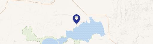
Map
- City
- Burns
- County
- Harney
- State
- Oregon
- Longitude
- -118.915
- Latitude
- 43.2666