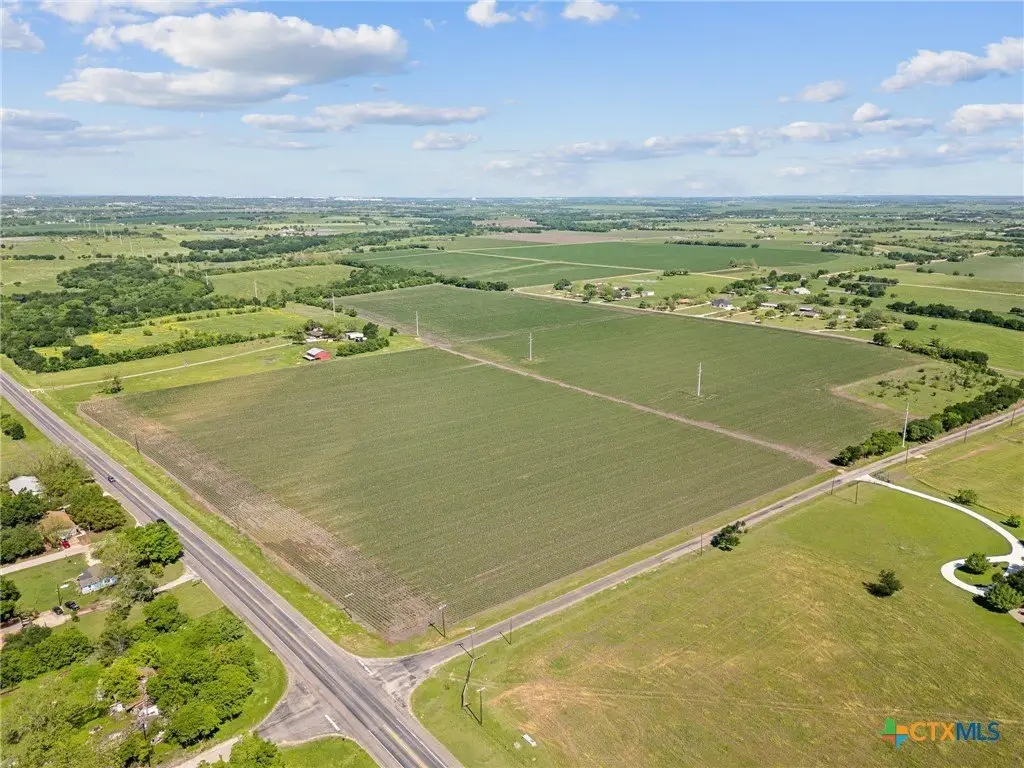
Bluebonnet Lot 0000 Hwy-53, Temple, TX 76501
- Added:
- Apr 5, 2026
- Days on Market:
- 77
- Last Refresh:
- Jun 20 at 2:06 am
Property Features for Bluebonnet Lot 0000 Hwy-53
General Information
- Property type
- Land
- Property subtype
- Other
- Standard status
- Active
- APN
- 38177
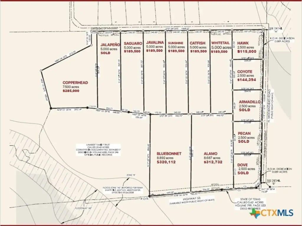
- Lot size
- 8.89 Acres
Taxes and HOA fees
- Tax Year
- 2025
- Tax Description
- 8.892 acres out of Maximo Moreno Survey, Abstract No. 14, Temple, TX
Utilities
- Sewer type
- Septic Needed
Listing agent Kelsey Capps License #0764485 (469) 460-0380
Listing office RE/MAX DFW Associates 500 S Denton Tap Road, # 110, TX (972) 462-8181
Listing date Apr 5, 2026
Copyright © 2026 Central Texas Multiple Listing Service. All rights reserved. All information provided by the listing agent/broker is deemed reliable but is not guaranteed and should be independently verified.
HighLights
- Convenient location: Just 7 minutes from HK Dodgen Loop 363 and 15 minutes from downtown Temple.
- Utilities included: Each lot is equipped with water and electricity.
- Cleared land, no floodplain: Ready for building, with no floodplain concerns.
- Low property taxes: Benefit from an existing agricultural exemption.
- Rogers ISD: Part of the well‑regarded Rogers ISD.
- Flexible land use: Spacious lots with limited restrictions, combine neighboring lots for your needs.
Overview
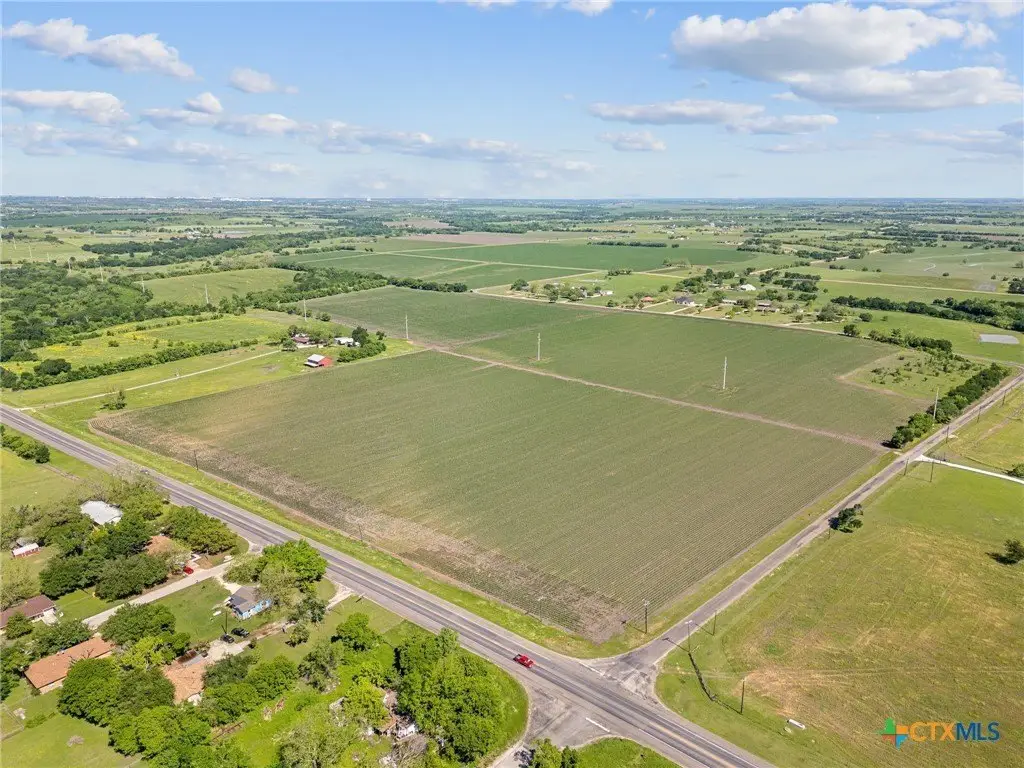
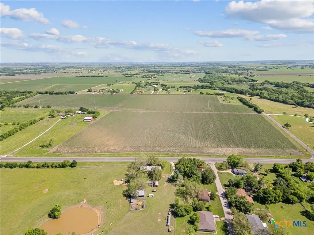
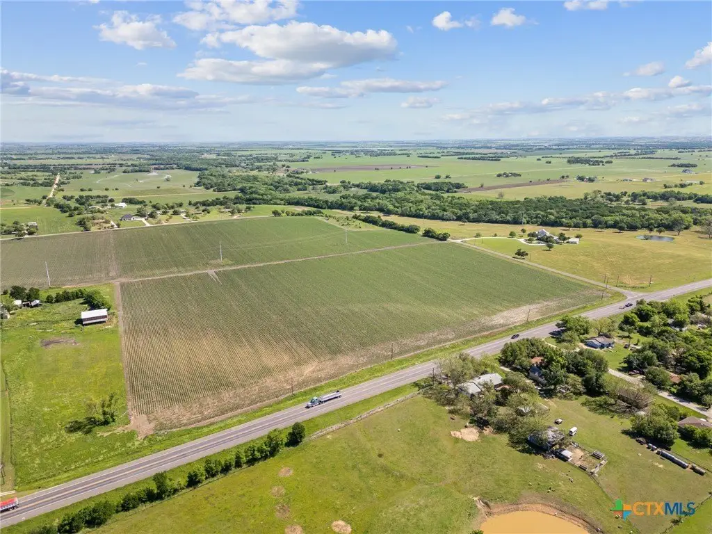
The property is located along Hwy-53 at N. Mockingbird Road in Temple, Texas, within a residential lot neighborhood in the countryside. The remarks indicate the community is approximately 7 minutes from HK Dodgen Loop 363 and about 15 minutes from downtown Temple, supporting convenient access to shopping, dining, healthcare, and entertainment.
For buyers looking to build in Bell County, this site is positioned for residential use with limited property restrictions designed to preserve quiet while allowing development flexibility. The listing also notes there is no HOA, and neighboring lots can potentially be combined to create larger acreages if desired. Rogers ISD is cited as the school district serving the community.
Current Use by Public Records
Map
- City
- Temple
- County
- Bell
- State
- Texas
- Longitude
- -97.253944
- Latitude
- 31.072216