Wooded Recreational Land
Tbd3 E 1550 Road Jerico Springs, MO 64756

For Sale
$159,500
LAND - Jerico Springs, MO
Lot Size30.00 Acres
Days on Market50
Property Features for Tbd3 E 1550 Road
General Information
- Property type
- Land
- Property subtype
- Other
- Standard status
- Active
- APN
- 999999
- Lot size
- 30.00 Acres
Taxes and HOA fees
- Tax Year
- 2026
- Tax Annual Amount
- 100
Utilities
- Utilities
- Electricity Available
Listing Agency:
United Country American Heartland Real Estate
(417) 876-2699
Listed By:
Ryan Hubbard · License #2010005751
(417) 296-4572
Added: Jun 5
Changed: Jul 14
Last Checked: Jul 24 at 6:06PM
MLS# 60325664
Copyright © 2026 Southern Missouri Regional MLS, LLC (SOMO). All rights reserved. All information provided by the listing agent/broker is deemed reliable but is not guaranteed and should be independently verified.
Investment Insights
Based on property information with market context.
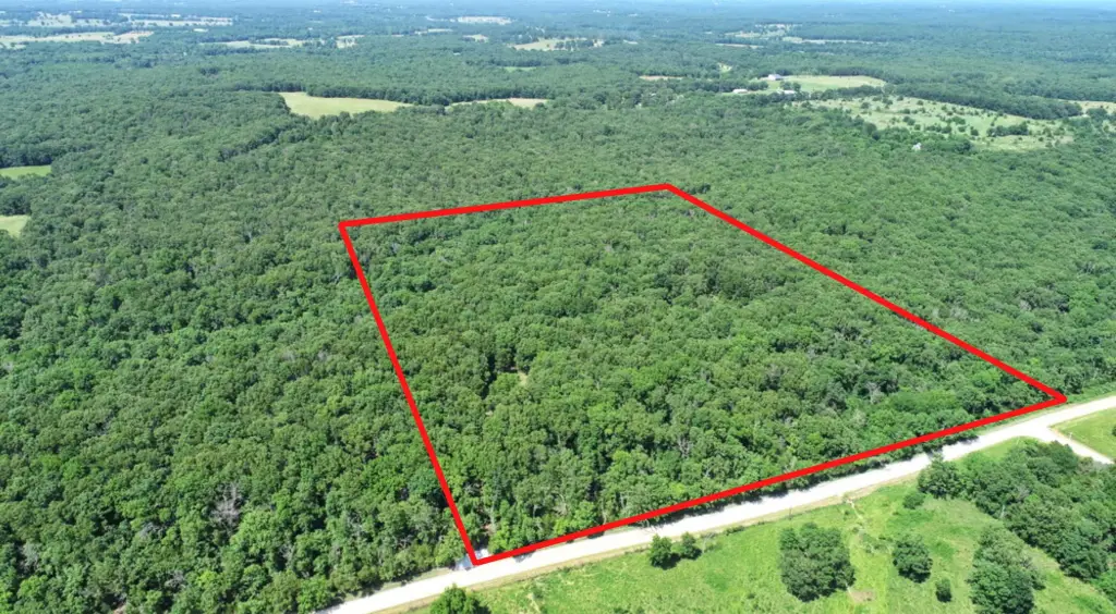
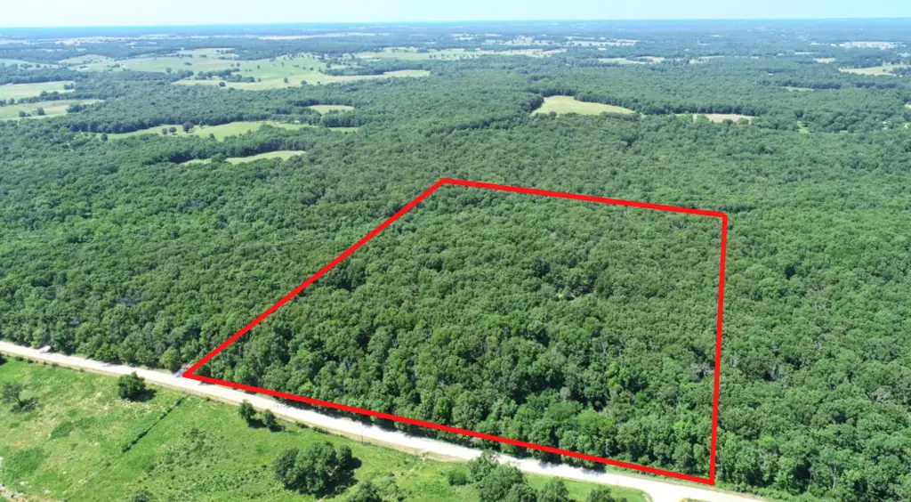
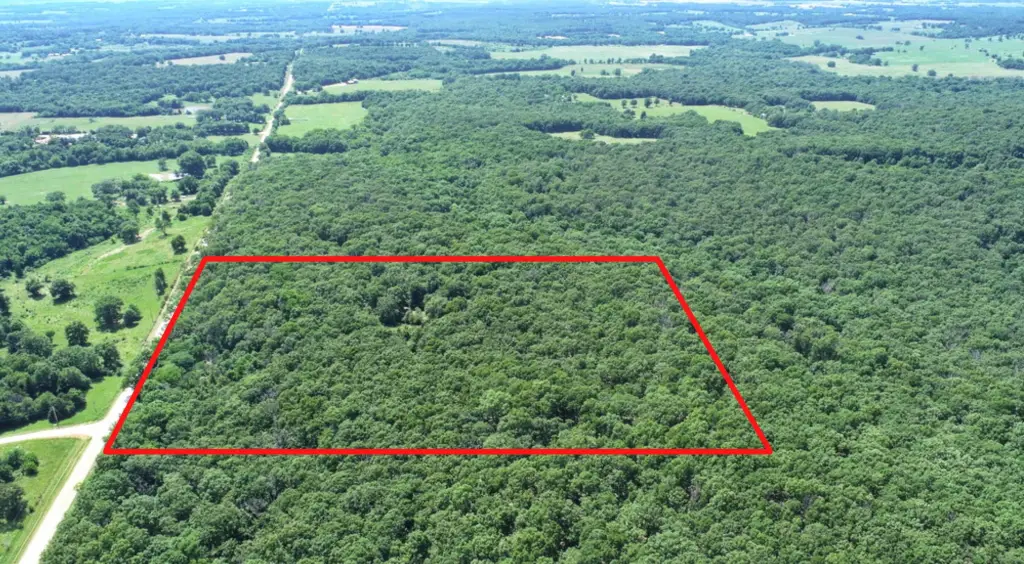
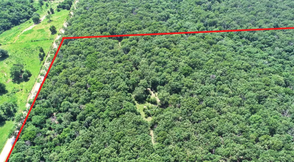
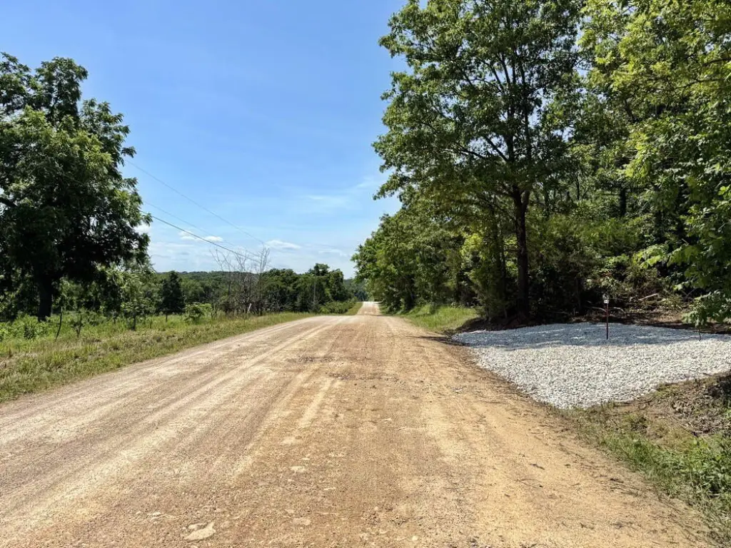
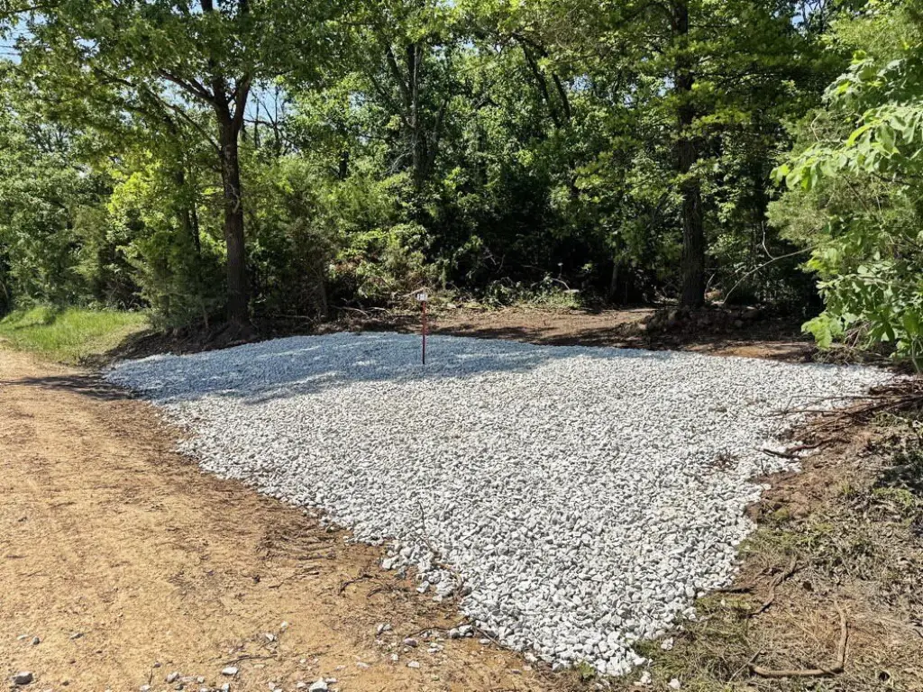
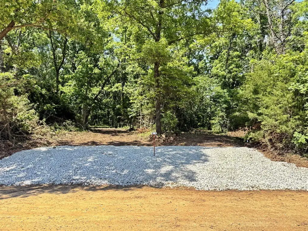
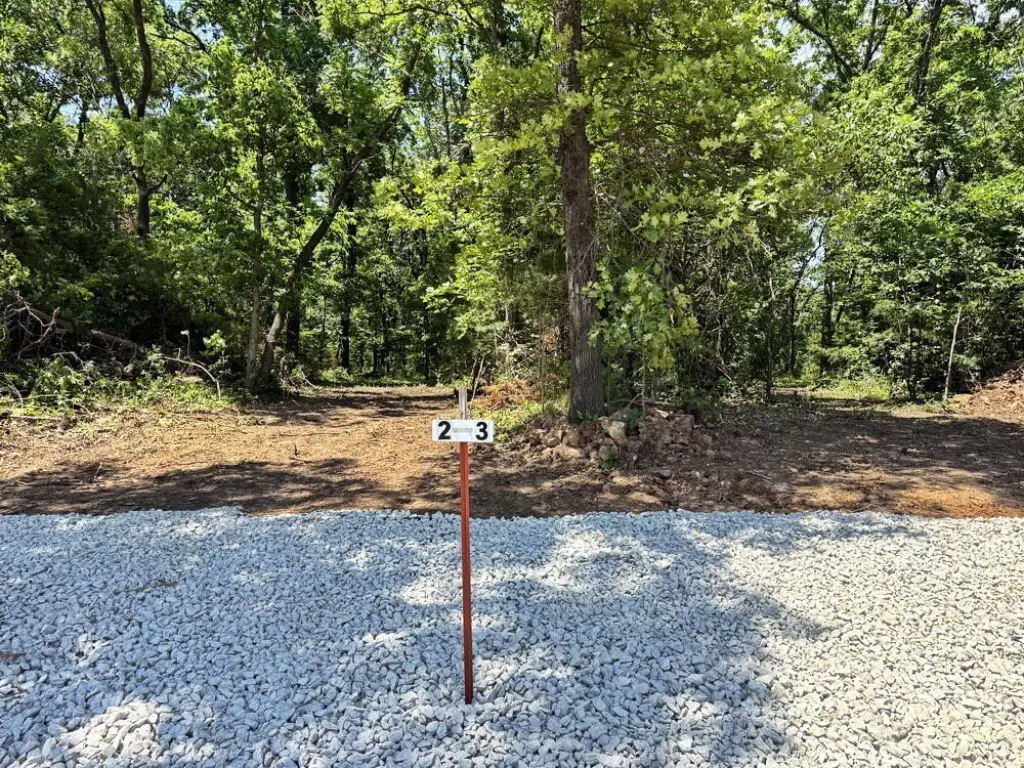
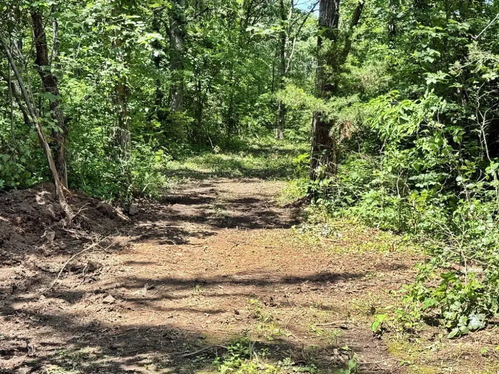
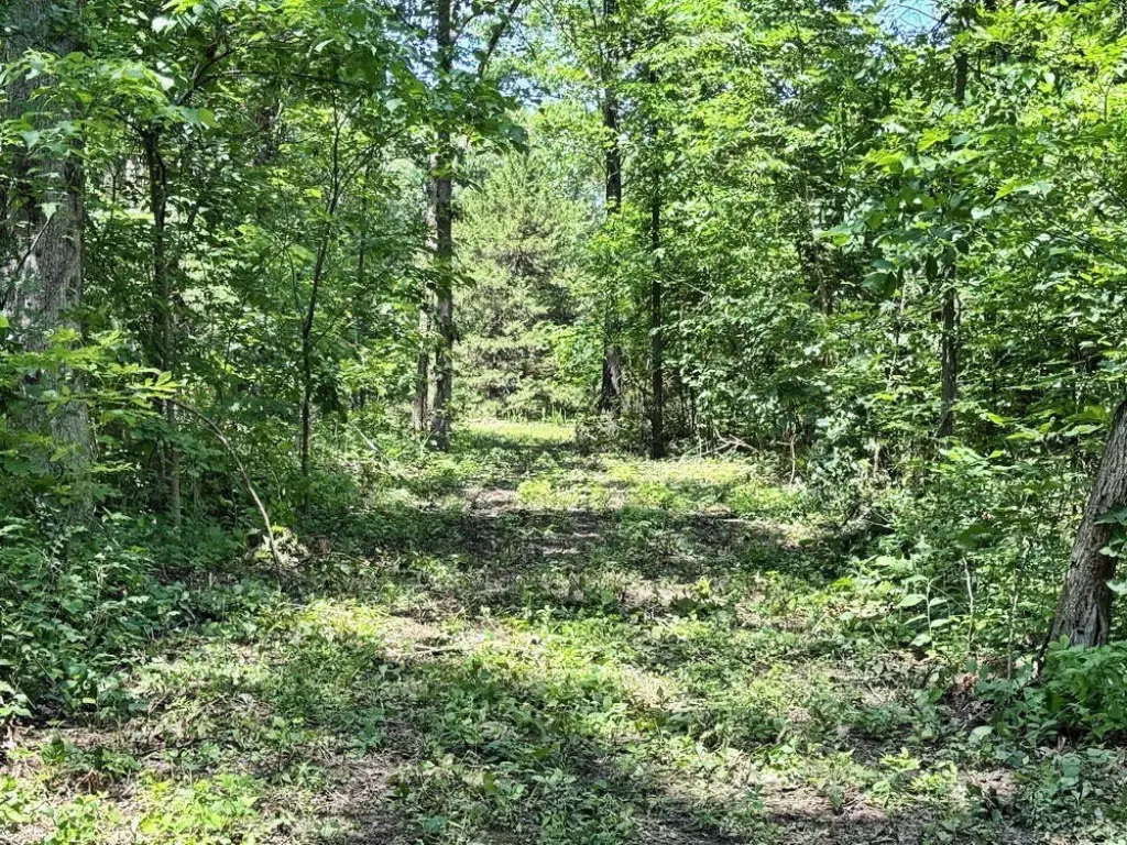
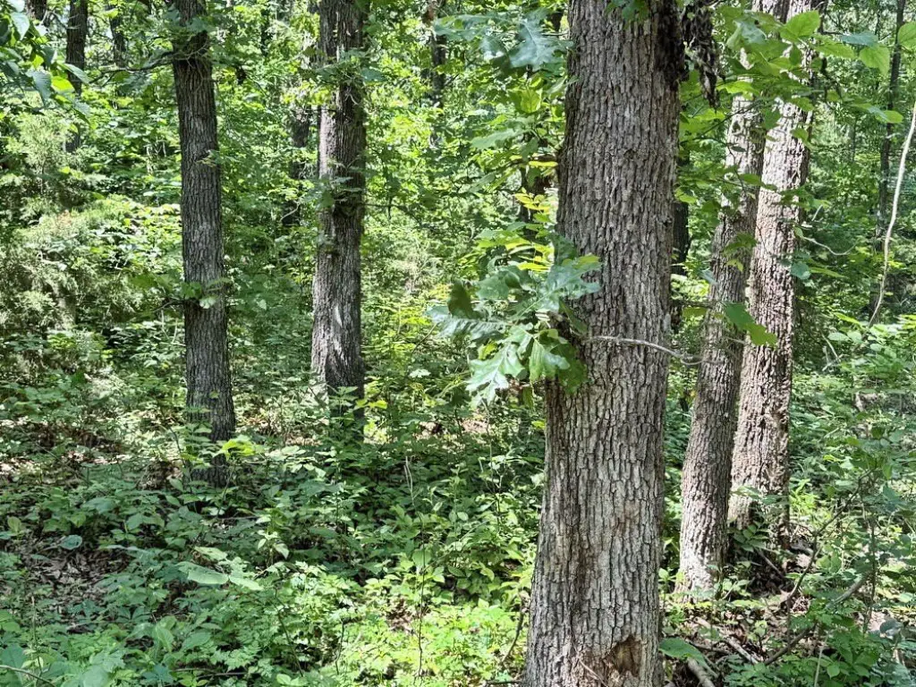
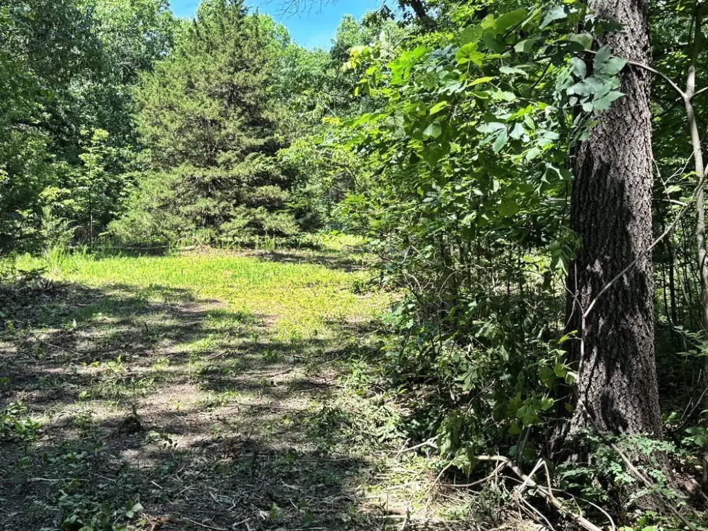
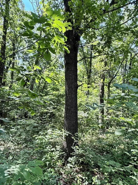
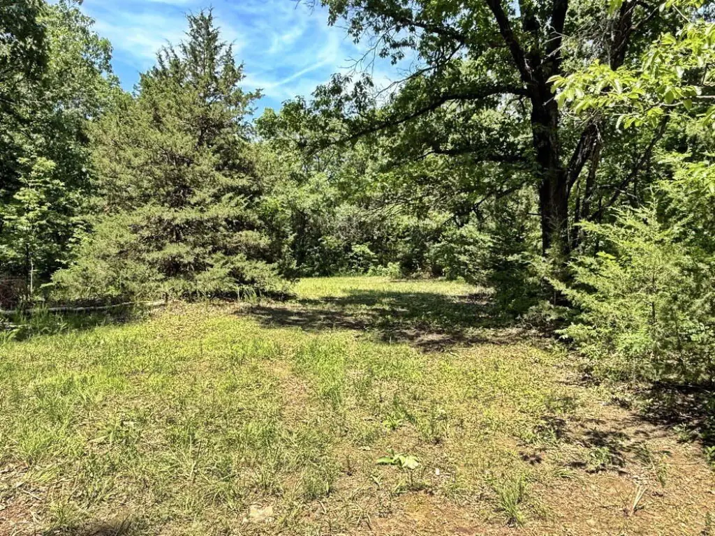
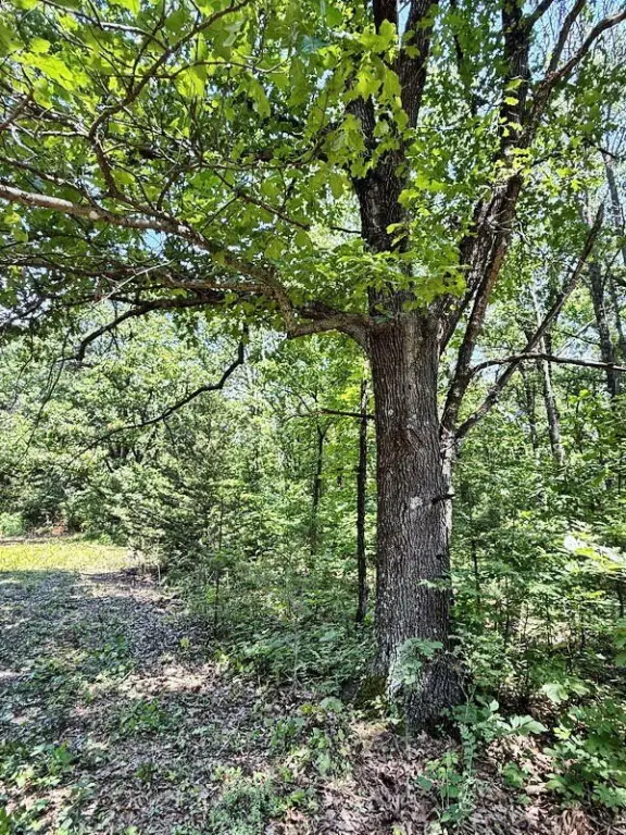
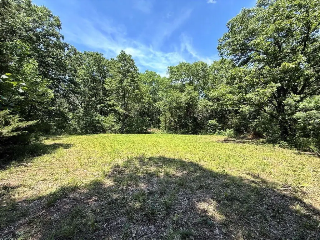
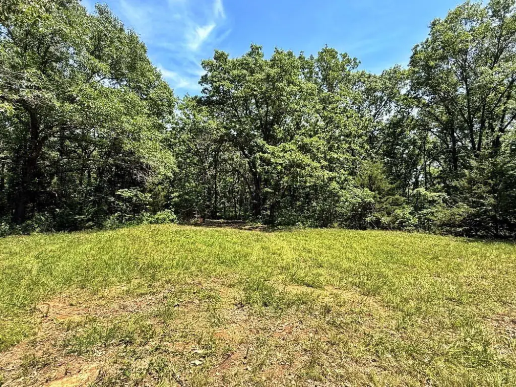
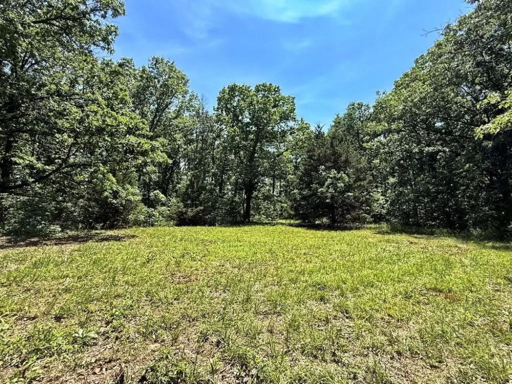
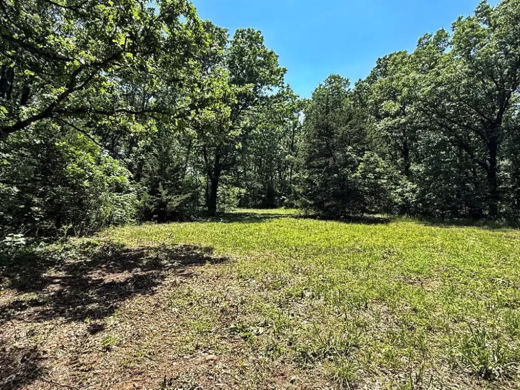
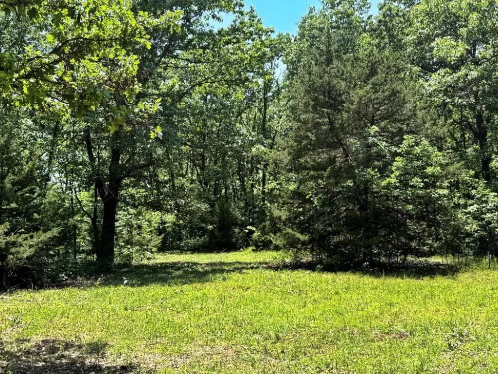
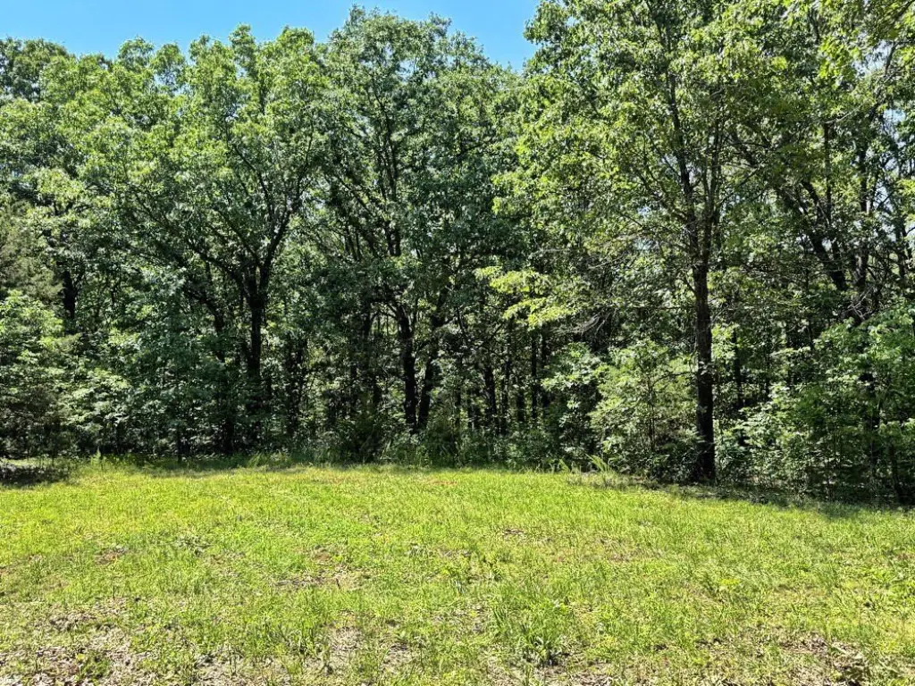
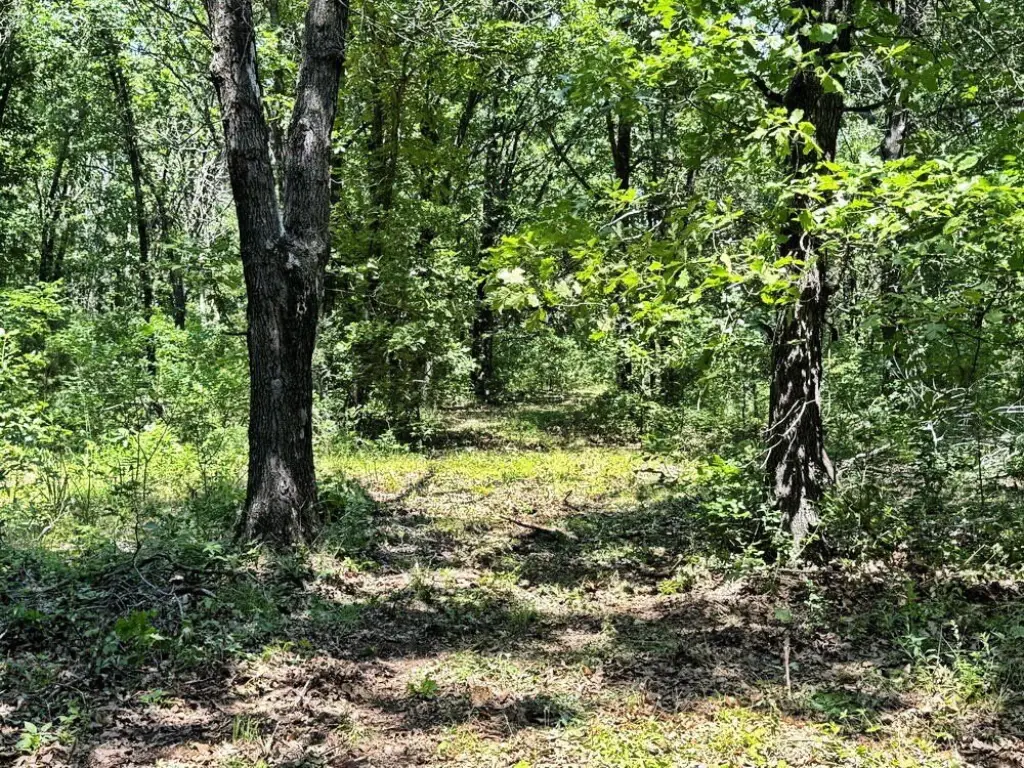
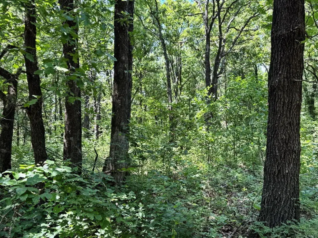
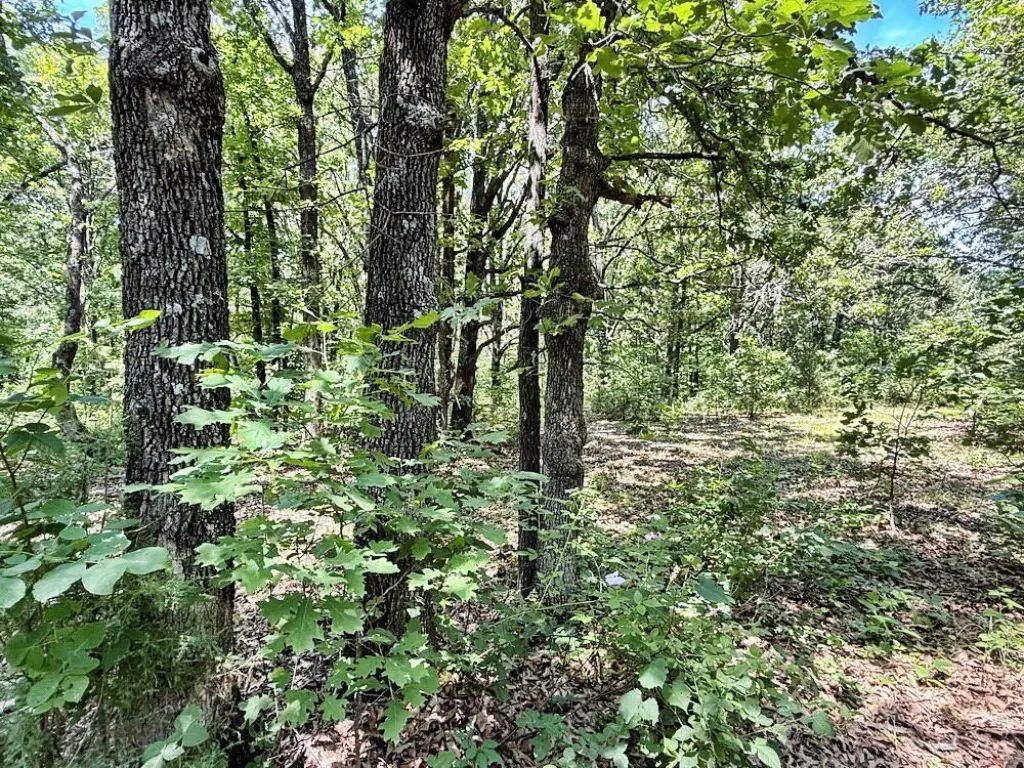
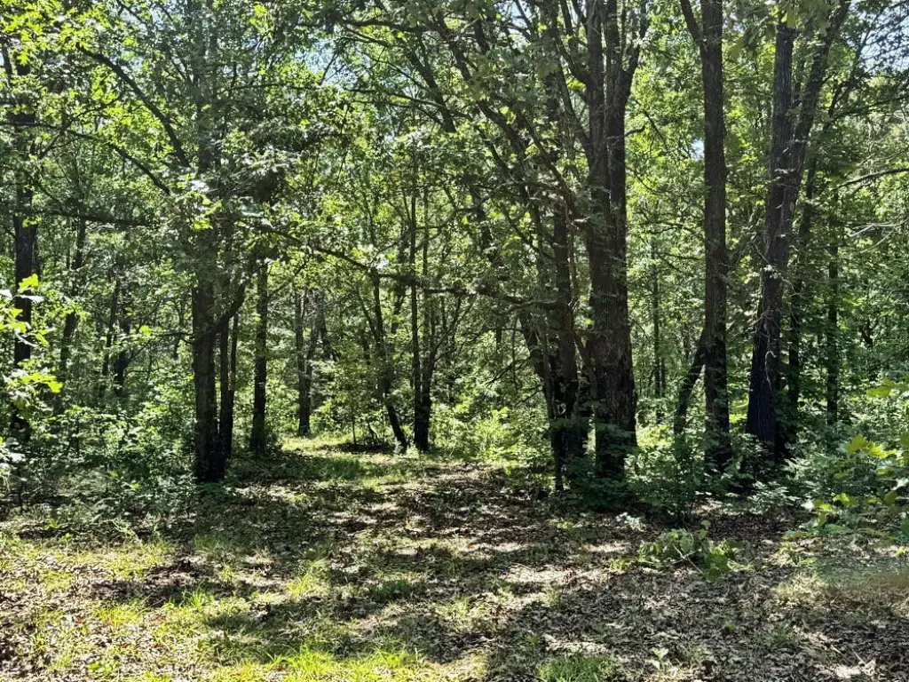
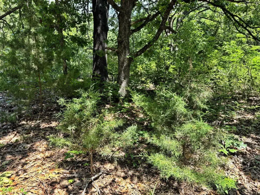
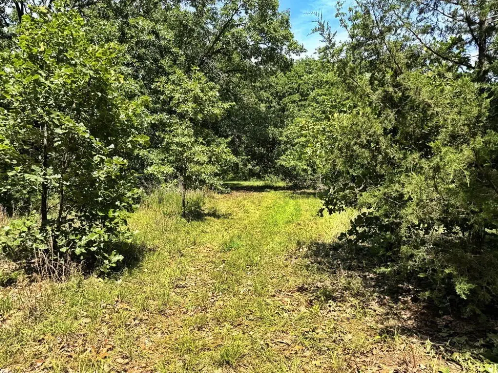
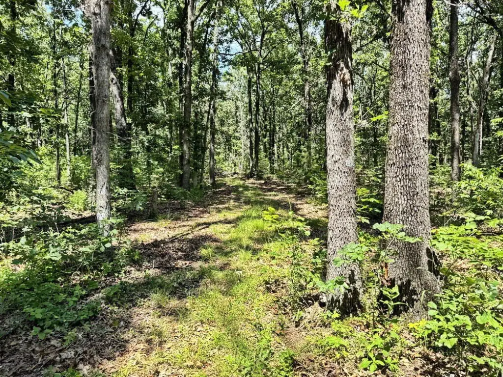
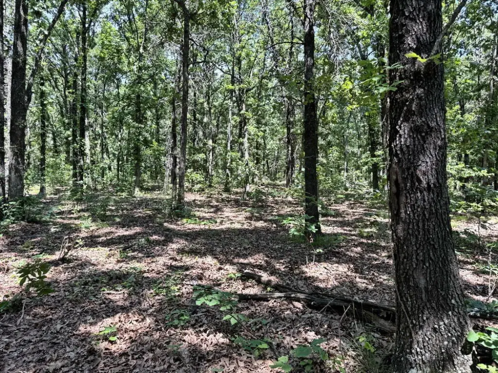
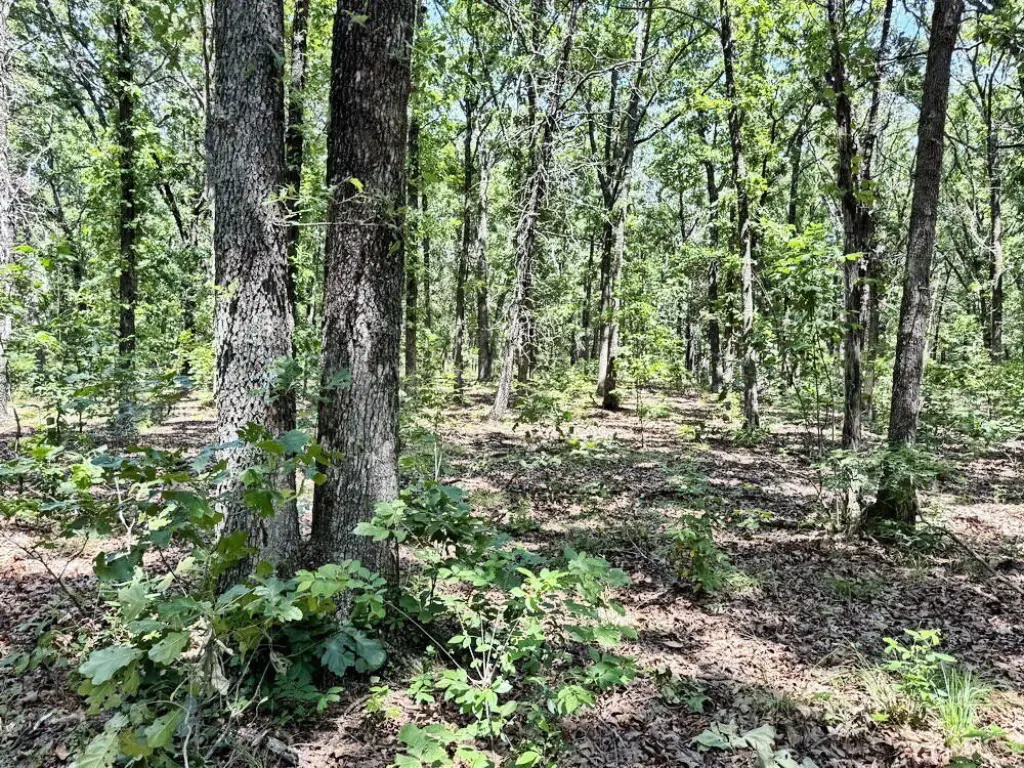
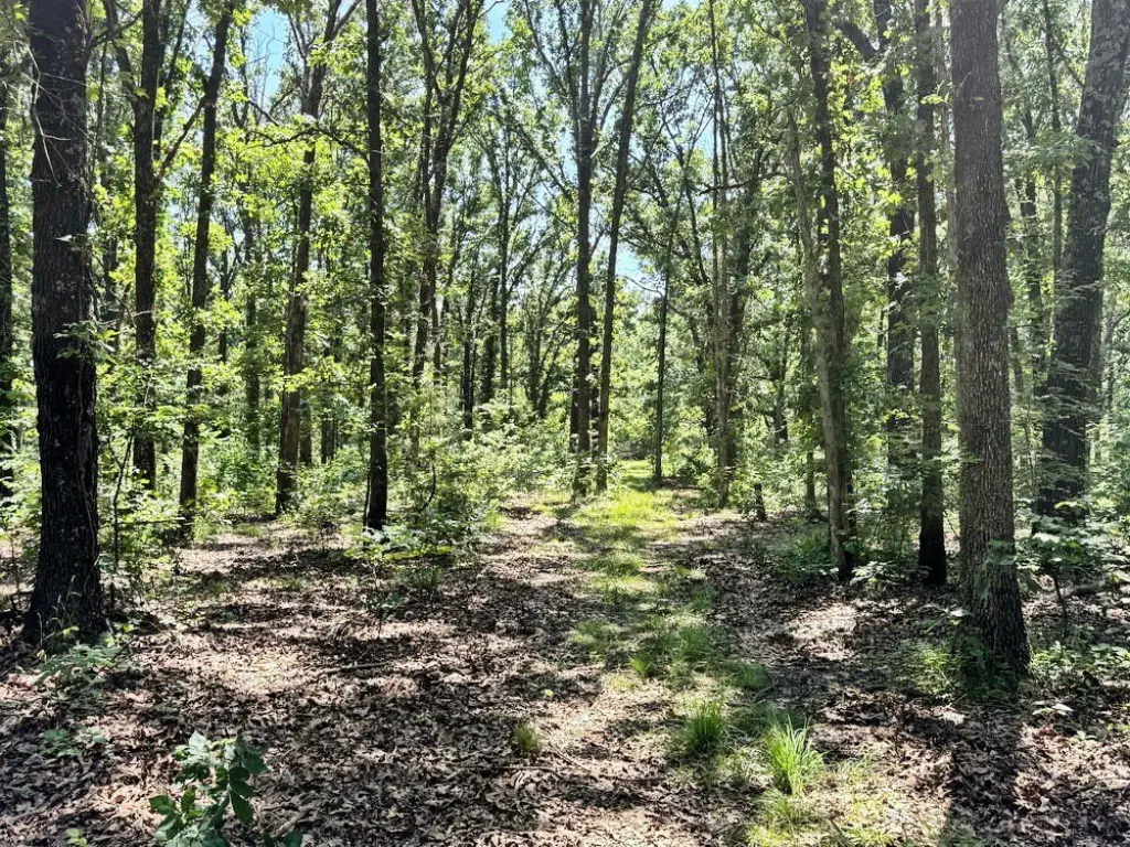
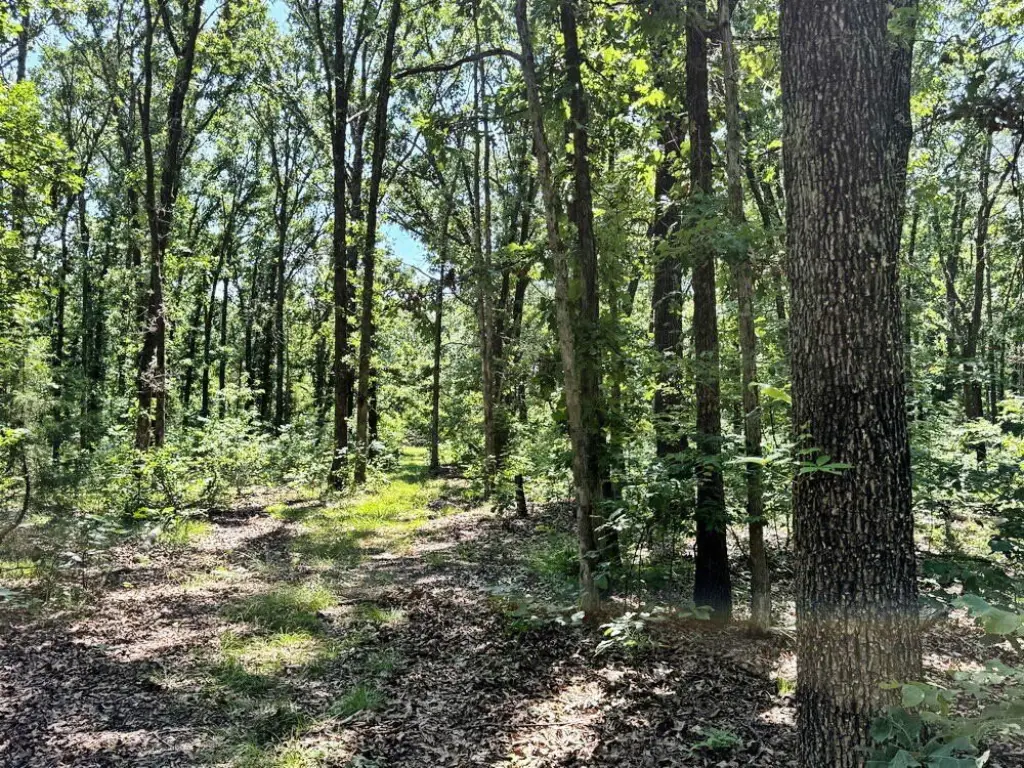
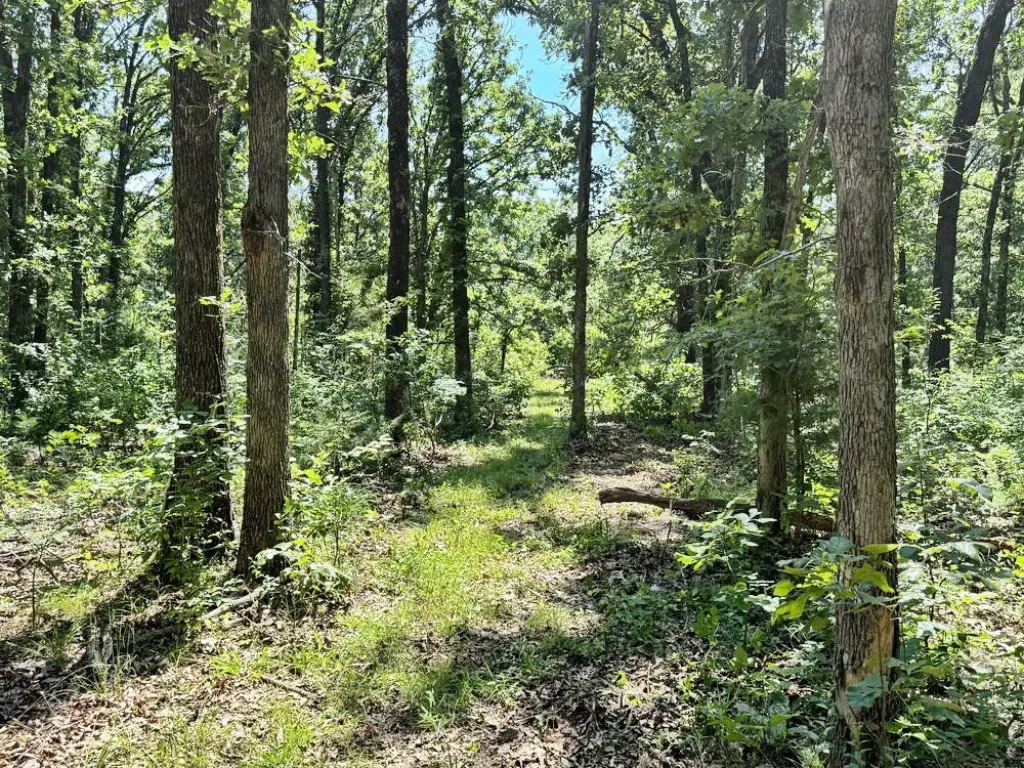
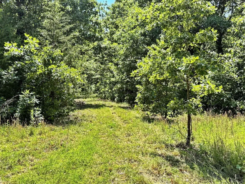
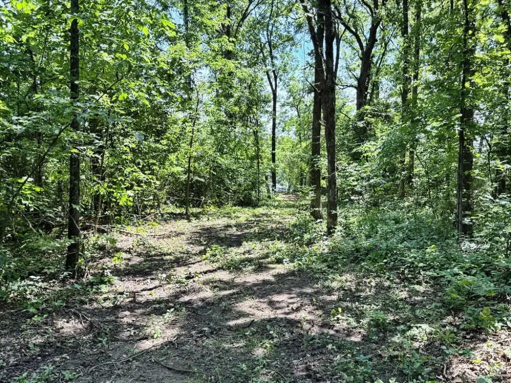
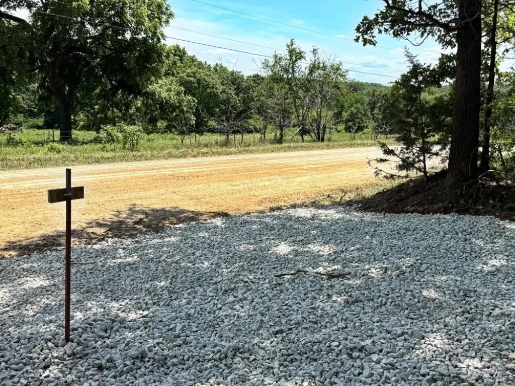
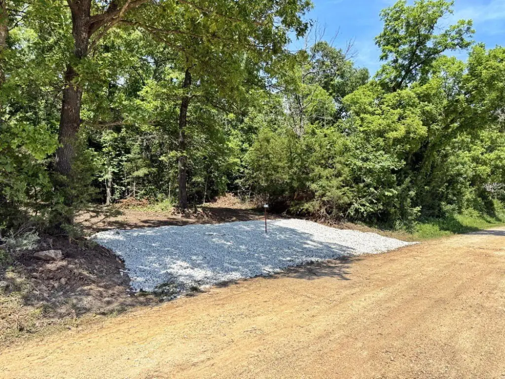
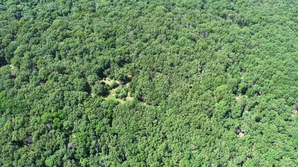
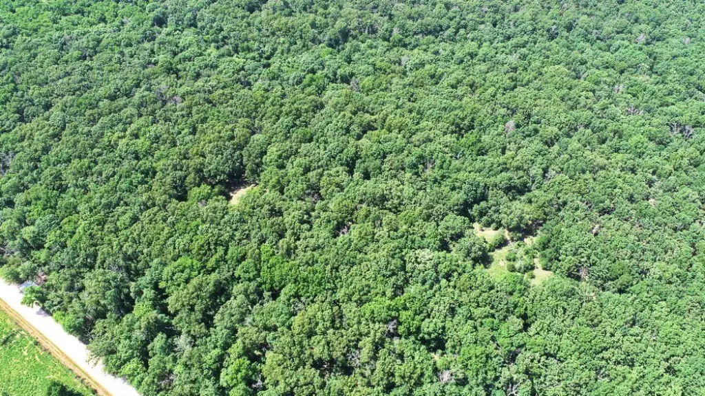
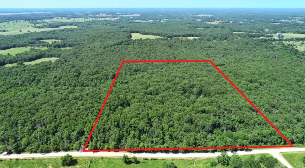
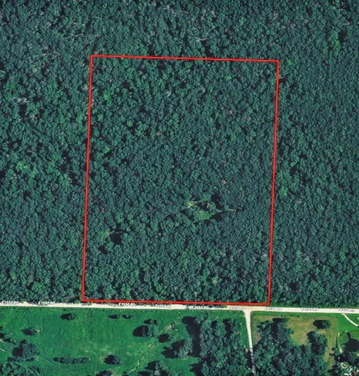
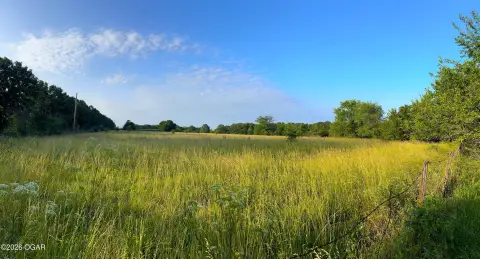
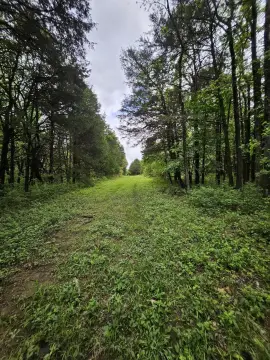
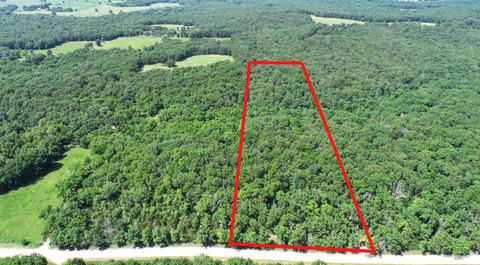
This fully surveyed recreational land tract in Cedar County, Missouri totals 30 acres of wooded property with a mix of oak hardwood timber and meadow. The property features road frontage on 1550 Rd and includes a brand-new graveled entrance, along with a newly created trail system that provides access throughout the tract.
Additional site flexibility is offered with building locations that can be selected near the road or further back within the property. Electric and fiber internet are reported to be available along both property boundaries, and rural water is available along 1550 Rd and 425 Rd.
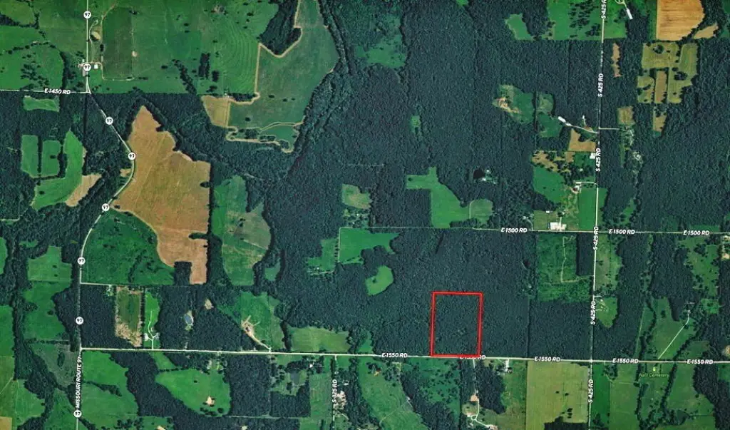
The tract is described as being within roughly 15–20 minutes of Stockton Lake, providing proximity to boating, fishing, and additional hunting opportunities. Two additional 10-acre tracts to the west and an additional 30-acre tract to the east are also available for buyers seeking more acreage.
Additional site flexibility is offered with building locations that can be selected near the road or further back within the property. Electric and fiber internet are reported to be available along both property boundaries, and rural water is available along 1550 Rd and 425 Rd.
The tract is described as being within roughly 15–20 minutes of Stockton Lake, providing proximity to boating, fishing, and additional hunting opportunities. Two additional 10-acre tracts to the west and an additional 30-acre tract to the east are also available for buyers seeking more acreage.
Key Highlights
- 30 acres of fully surveyed wooded land in Cedar County, MO with road frontage on 1550 Rd.
- Electricity and fiber internet are along both property boundaries; rural water available along 1550 Rd and 425 Rd.
- Brand‑new graveled entrance and a new trail system for access throughout the property.
Property Analytics
Property Profile
Location Intelligence
Current Use by Public Records
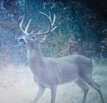
Hunting land


FAQs
What type of property is this?
Hunting land - Fully surveyed wooded tract with road frontage and a new graveled entrance, suited for hunting and outdoor use.
Where is this hunting land located?
The property is located at Tbd3 E 1550 Road Jerico Springs, MO.
What is the asking price?
The asking price for this property is $159,500.
What are key features of this property?
This property features: 30 acres of fully surveyed wooded land in Cedar County, MO with road frontage on 1550 Rd.; Electricity and fiber internet are along both property boundaries; rural water available along 1550 Rd and 425 Rd.; Brand‑new graveled entrance and a new trail system for access throughout the property.