Secluded Pasture and Hunting
TBD Wildhorse lot 0 Shady Point, OK 74956
For Sale
$322,000
LAND - Shady Point, OK
Lot Size120.00 Acres
Days on Market48
Property Features for TBD Wildhorse lot 0
General Information
Property type
Land
Property subtype
Other
Standard status
Active
APN
0000-14-07N-23E-0-016-00
Lot size
120.00 Acres
Taxes and HOA fees
Tax Description
SEC 14 TWP 7N RNG 23E E1/2 SW & NW SW B1775 P523 B2009 P586 B2123 P27.
Tax Annual Amount
98
Utilities
Sewer type
Other
Listing Agency:
ReMax Champion Land Brokers
(918) 649-0201
Listed By:
Ricky Ward · License #154336
Added: Jun 13
Changed: Jun 14
Last Checked: Jul 30 at 4:06AM
MLS# 1089774
Copyright © 2026 Western River Valley Board of REALTORS®. All rights reserved. All information provided by the listing agent/broker is deemed reliable but is not guaranteed and should be independently verified.
Investment Insights
Based on property information with market context.
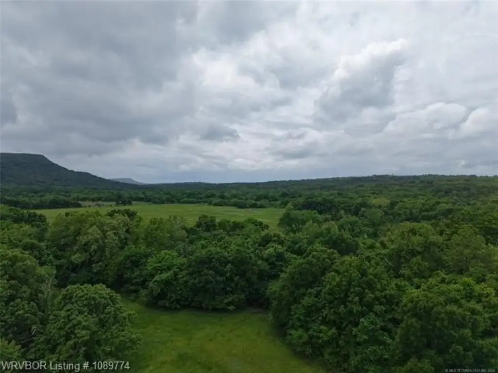
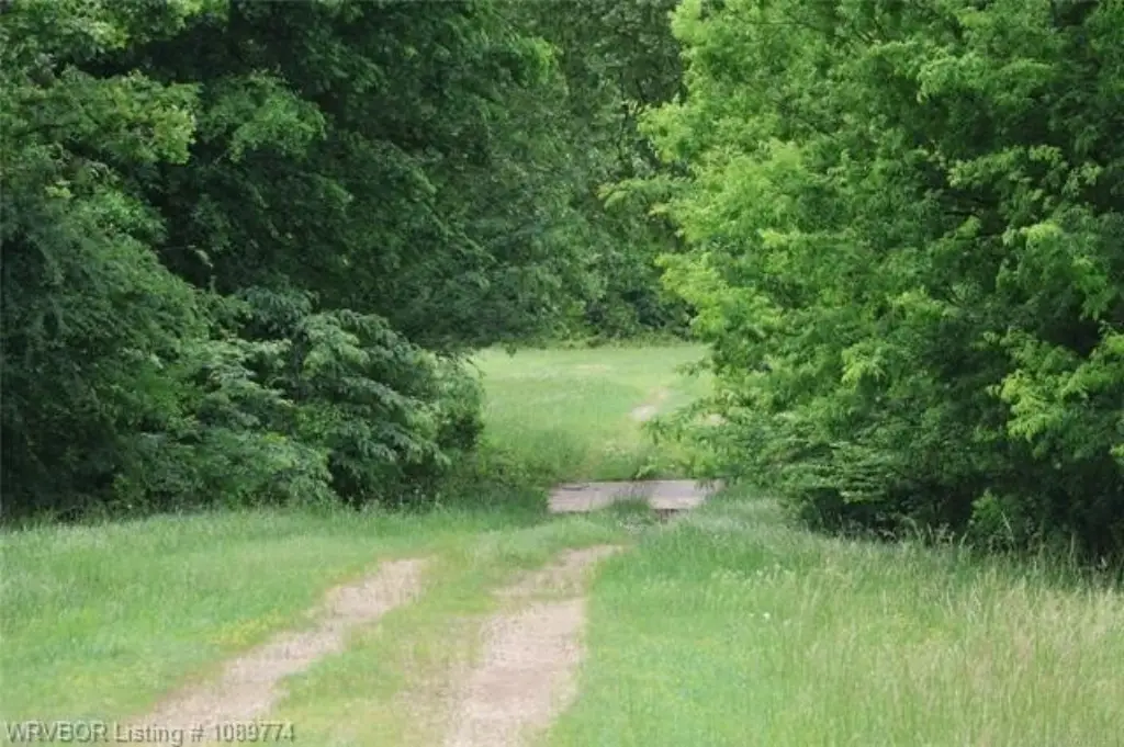
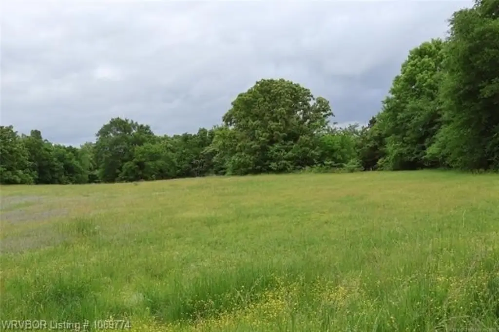
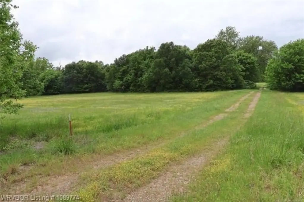
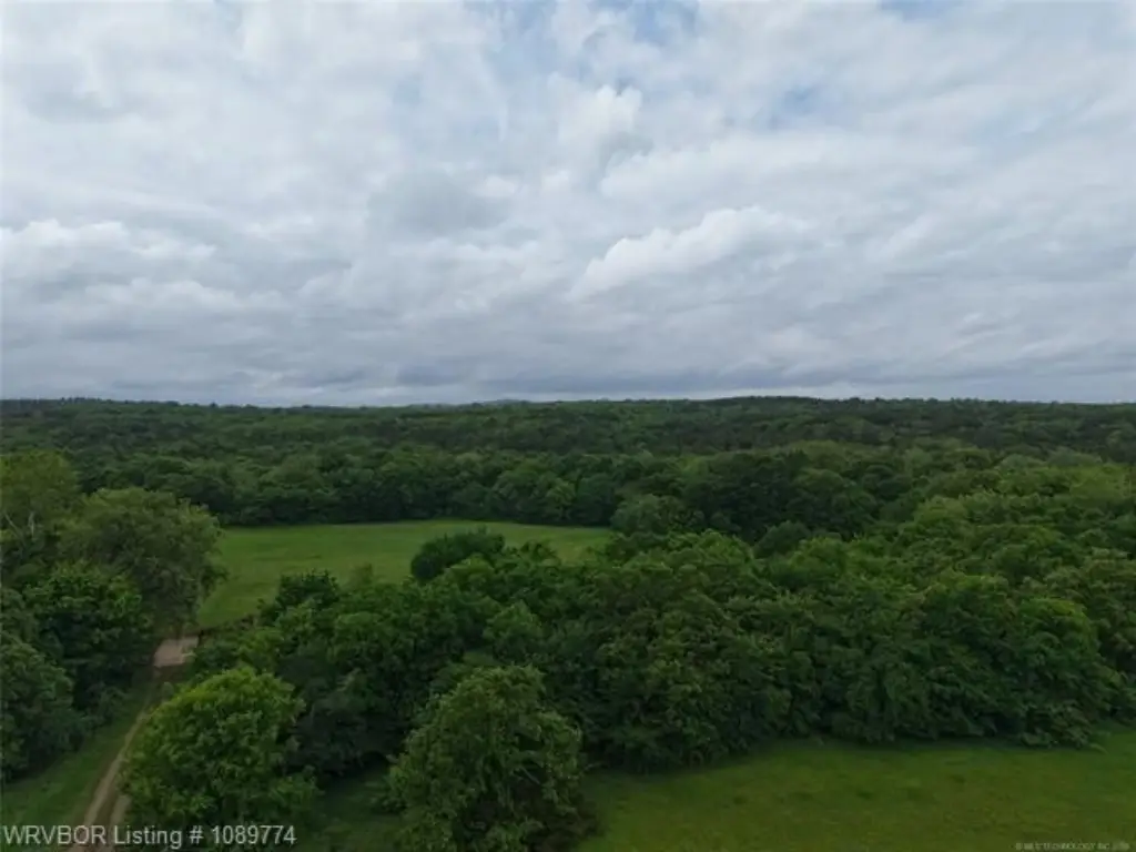
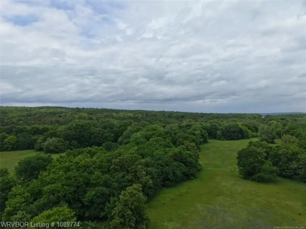
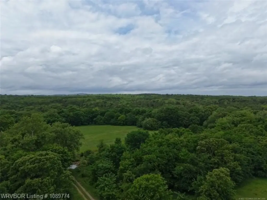
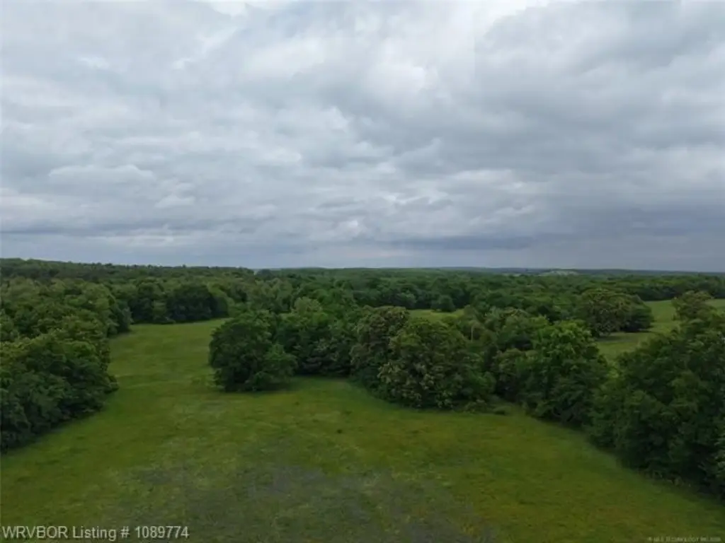
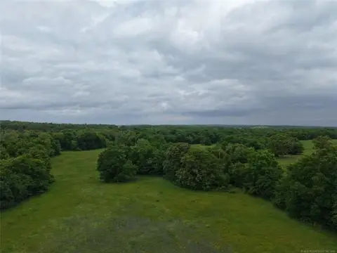
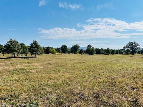
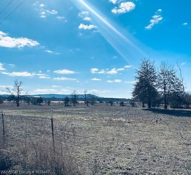
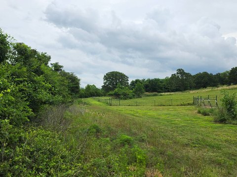
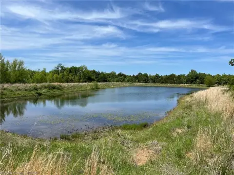
This 120-acre property offers a mix of open pastureland and natural cover suited for agricultural and recreational purposes. The land includes an established pond that can serve as a water source for livestock and local wildlife. Electric is available at the property, supporting plans for barns, hunting cabins, or other site improvements. With multiple areas that can support bedding and travel patterns, the acreage is positioned for whitetail and local game hunting, while still providing space for grazing activities.
The tract fronts a maintained county road, providing straightforward, year-round access. At the same time, the acreage is described as tucked away for seclusion, offering peace and quiet while remaining easy to reach. Located in Leflore County, the property is set up for owners who want both practical access and privacy.
For buyers looking for land that can do double duty, this acreage supports livestock management such as running cattle or horses, along with food plots and hunting-related improvements. The size and terrain also allow for flexible planning, including custom homesites and outbuildings, depending on how the property will be used. Electric availability and the pond make it easier to develop a working setup or a recreational retreat.
Key Highlights
- 120‑acre tract with a mix of open pastureland and natural cover for livestock and wildlife management
- Includes an established pond as a water source for livestock and local wildlife
- Electric is available at the property
Property Analytics
Location Intelligence
Current Use
Frequently Asked Questions
What type of property is this?
Agricultural land / Farmland - A secluded tract with open pasture, natural cover, an established pond, and county road access for livestock or hunting use.
Where is this agricultural land / farmland located?
The property is located at TBD Wildhorse lot 0 Shady Point, OK.
What is the asking price?
The asking price for this property is $322,000.
What are key features of this property?
This property features: 120‑acre tract with a mix of open pastureland and natural cover for livestock and wildlife management; Includes an established pond as a water source for livestock and local wildlife; Electric is available at the property


