Recreational Land Parcel With Trail
For Sale
$88,200
TBD Deerton-Sand Lake Road, Deerton, MI 49822
Land, Deerton, MI
Property SizeContact for details
Lot Size60.00 Acres
Days on Market689
Property Features for TBD Deerton-Sand Lake Road
General Information
Property type
Land
Property subtype
Other
High school district
000000
Standard status
Active
Lot size
60.00 Acres
Listing Agency:
Great Lakes & Land Real Estate
(906) 228-9312
Listed By:
Timothy Keohane
(906) 228-9312
Added: Oct 2, 2024
Changed: Aug 19
Last Checked: Aug 21 at 1:06AM
MLS# 11555867
Copyright © 2026 My State MLS. All rights reserved. All information provided by the listing agent/broker is deemed reliable but is not guaranteed and should be independently verified.
Investment Insights
Based on property information with market context.
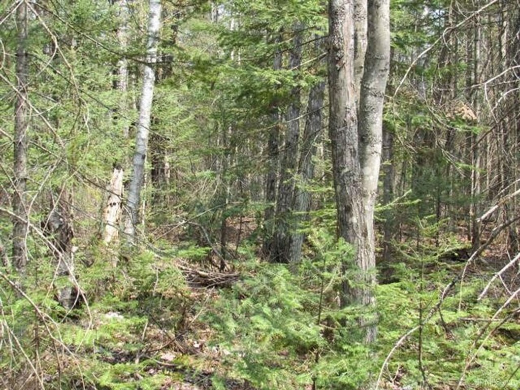
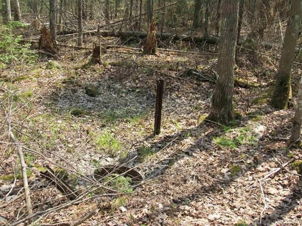
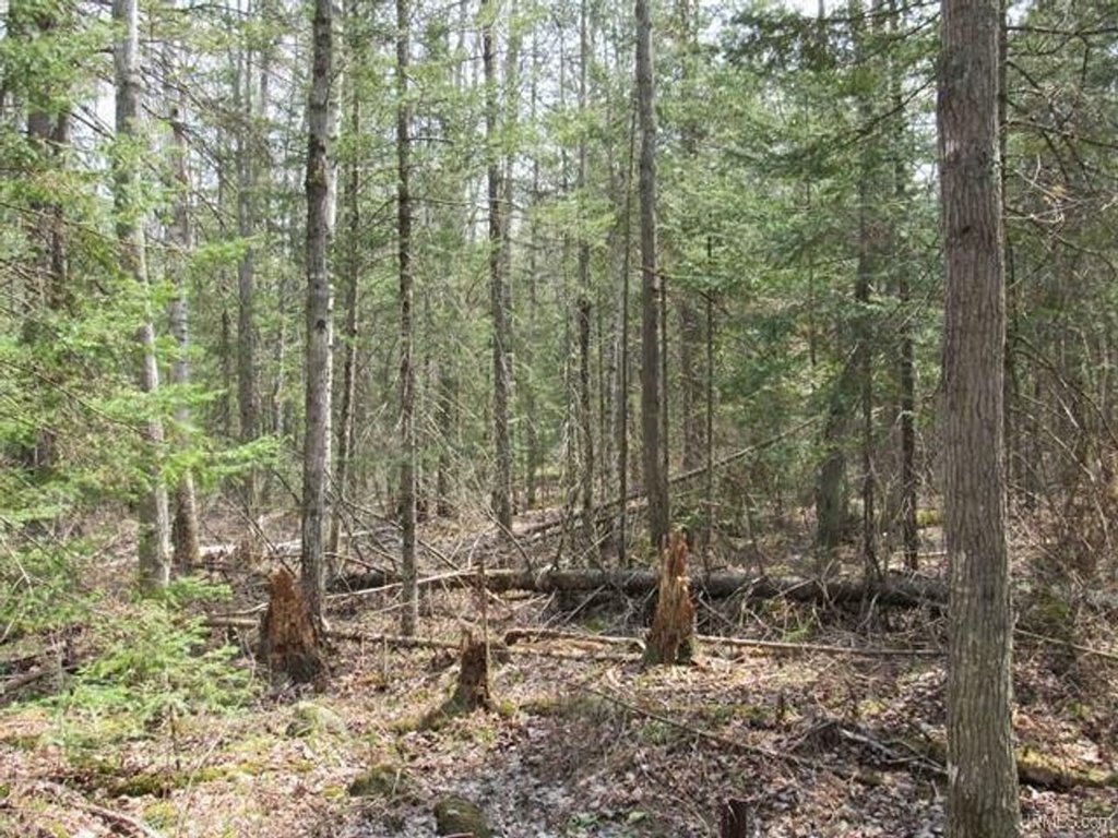
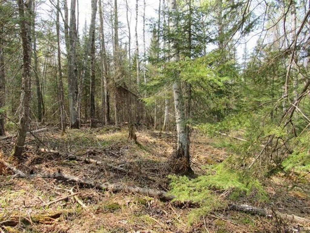
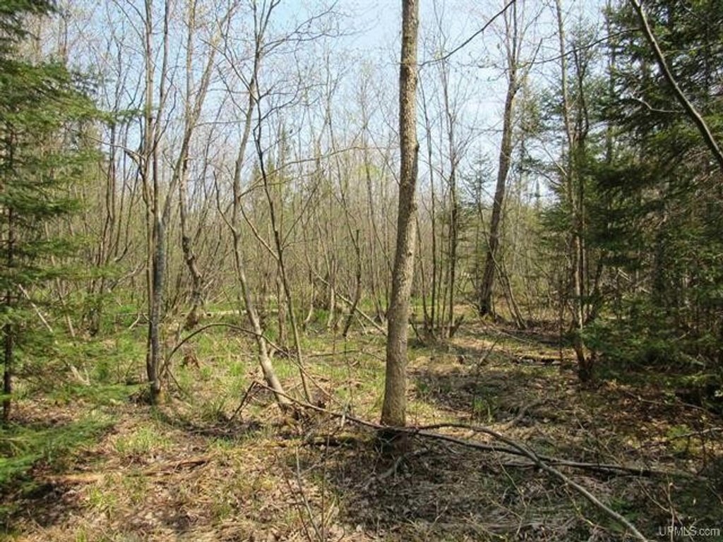
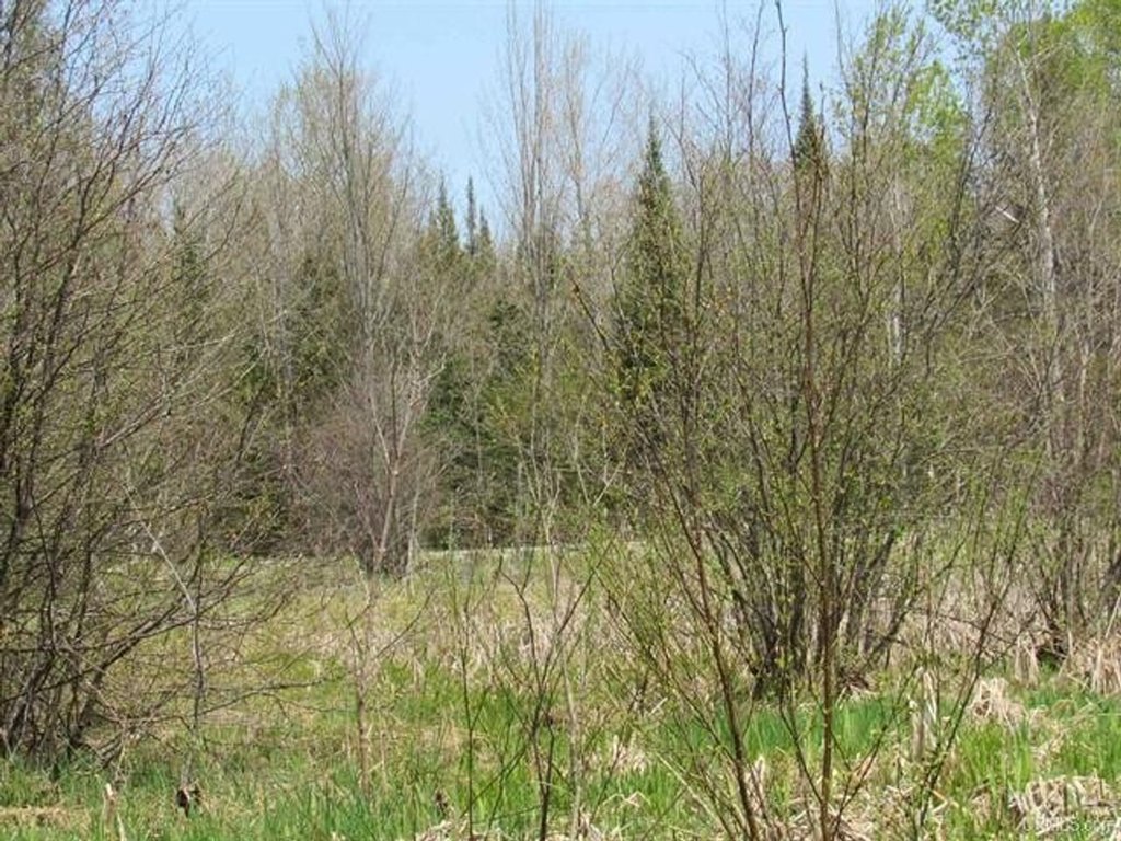
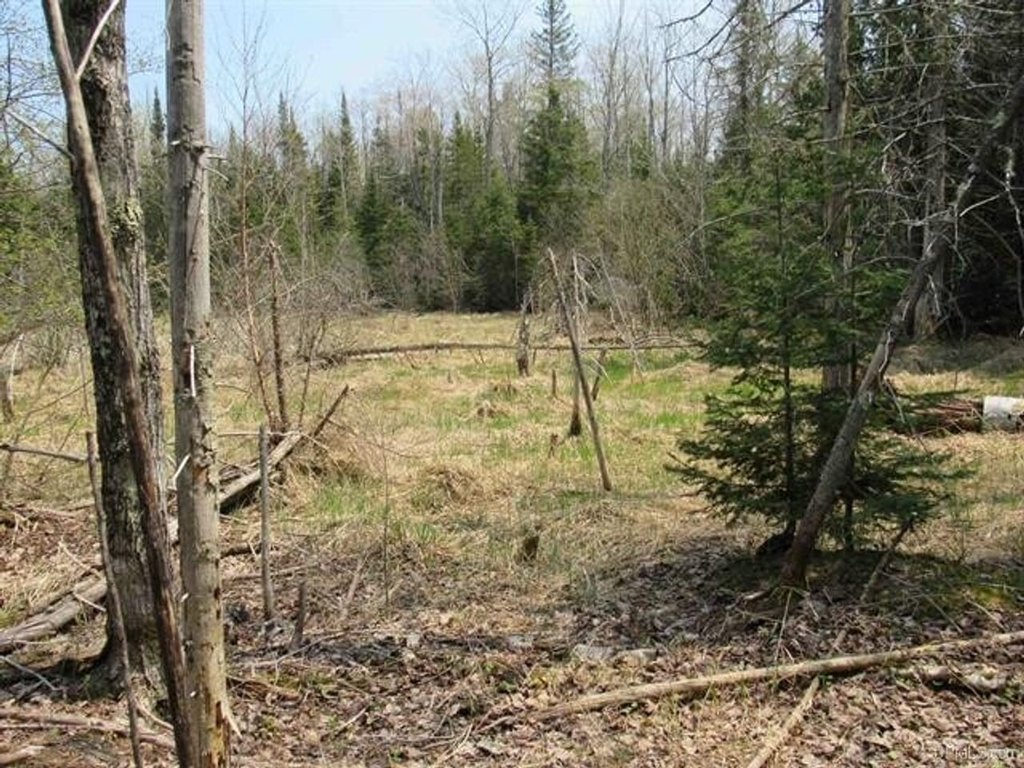
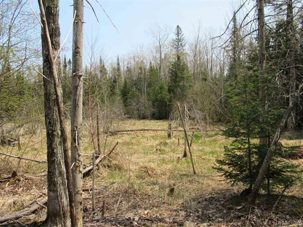
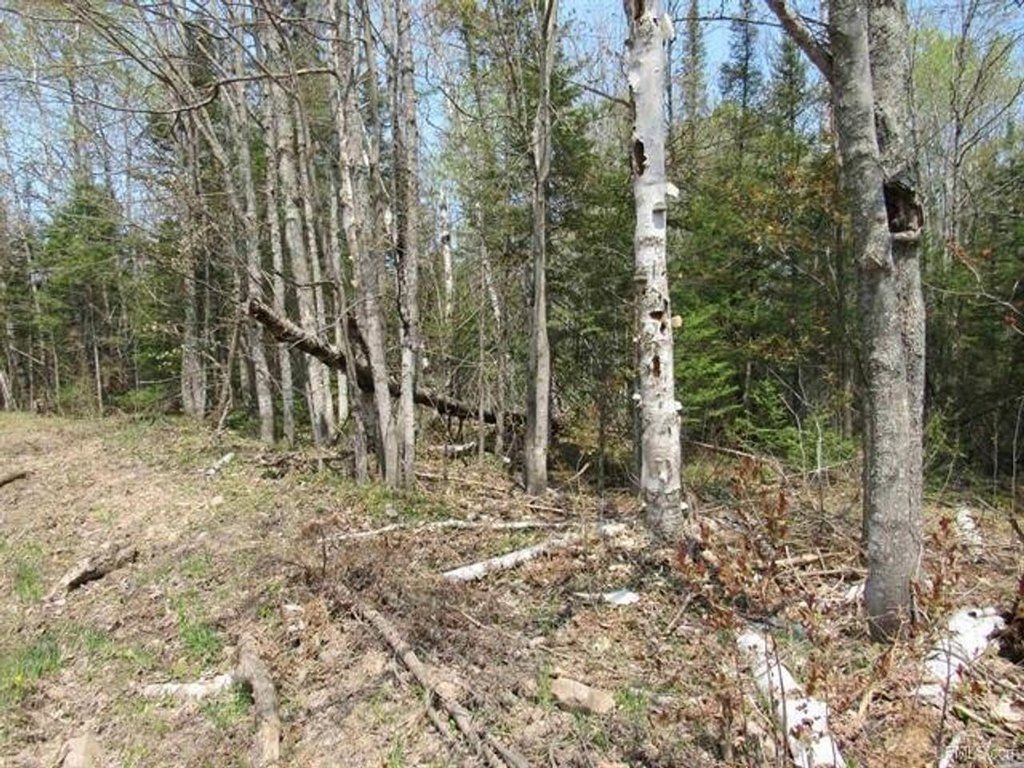
This offering is a 60-acre wooded recreational land parcel in three separate 20-acre sections. The western section includes woody wetlands, mixed forest, developed open space, evergreen forest, low-intensity development, and pasture/hay. The middle section features a mix of mixed forest, woody wetlands, evergreen forest, pasture/hay, and low-intensity development. The eastern section is primarily woody wetlands, with additional mixed forest and evergreen forest. A portion of the land is classified as developed open space and low-intensity development, providing areas that may be better suited for non-intensive site use within the overall natural setting.
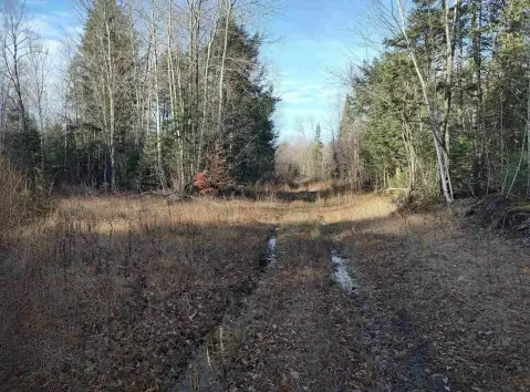
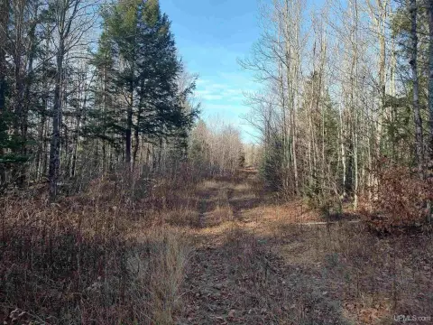
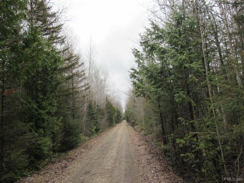
The property is located in Onota Township on the southern shore of Lake Superior in Michigan’s Upper Peninsula. The former Duluth South Shore and Atlantic railroad alignment now serves as the groomed “Harvey to Autrain” Multi-Use State Trail, which passes through the property. The trail is 30 miles long, signed, and seasonally groomed for snowmobiles, with uses that include hiking, biking, and ATV/snowmobiling. Highway M-28 is about 1.5 miles north-east of the property, and access to the Laughing Whitefish Lake Preserve is available via M94, a few miles south.
For buyers seeking a recreation-oriented tract, the combination of extensive forest and wetland habitat with a maintained multi-use trail corridor creates a practical setting for outdoor use and seasonal activities. The property’s natural landscape also supports a variety of quiet, land-based recreation, while the presence of developed/open-space and low-intensity areas may help accommodate basic on-site improvements consistent with the land composition provided.
The property is located in Onota Township on the southern shore of Lake Superior in Michigan’s Upper Peninsula. The former Duluth South Shore and Atlantic railroad alignment now serves as the groomed “Harvey to Autrain” Multi-Use State Trail, which passes through the property. The trail is 30 miles long, signed, and seasonally groomed for snowmobiles, with uses that include hiking, biking, and ATV/snowmobiling. Highway M-28 is about 1.5 miles north-east of the property, and access to the Laughing Whitefish Lake Preserve is available via M94, a few miles south.
For buyers seeking a recreation-oriented tract, the combination of extensive forest and wetland habitat with a maintained multi-use trail corridor creates a practical setting for outdoor use and seasonal activities. The property’s natural landscape also supports a variety of quiet, land-based recreation, while the presence of developed/open-space and low-intensity areas may help accommodate basic on-site improvements consistent with the land composition provided.
Key Highlights
- 60‑acre wooded recreational parcel in Onota Township on the southern shore of Lake Superior (Upper Peninsula).
- Property split into three 20‑acre parcels with a mix of woody wetlands, mixed forest, evergreen forest, and developed open space.
- Western 20 acres include 9.77 acres woody wetlands, 6.5 acres mixed forest, 1.35 acres developed open space, 0.80 acres evergreen forest.
Property Analytics
Current Use
Location Intelligence
Trade Area within ½ mile
8
Businesses Nearby
Explore this area
Business Placement
Demographics for 49822, MI
227
Population
267
Households
0.9
Avg Household Size
55
Median Age
23%
College-Educated
98%
High-School Grad
58.1 sq mi
ZIP Area
4
Density / Sq Mi
$57,703
Median Household Income
$920
Median Rent
$322,000
Median Home Value

Questions? Ask Rey
Realmo’s AI knows this listing — price, zoning, demand, history. Ask anything.

Frequently Asked Questions
What type of property is this?
Recreation land - 60-acre wooded parcel with a groomed multi-use trail running through it, supporting hiking, snowmobiling, and outdoor recreation.
Where is this recreation land located?
The property is located at TBD Deerton-Sand Lake Road Deerton, MI.
What is the asking price?
The asking price for this property is $88,200.
What are key features of this property?
This property features: 60‑acre wooded recreational parcel in Onota Township on the southern shore of Lake Superior (Upper Peninsula).; Property split into three 20‑acre parcels with a mix of woody wetlands, mixed forest, evergreen forest, and developed open space.; Western 20 acres include 9.77 acres woody wetlands, 6.5 acres mixed forest, 1.35 acres developed open space, 0.80 acres evergreen forest.


