TBD CR 321, George West, TX 78022
- Added:
- Nov 6, 2025
- Days on Market:
- 232
- Last Refresh:
- Jun 26 at 6:06 pm
Property Features for TBD CR 321
General Information
- Property type
- Land
- Property subtype
- Other
- Standard status
- Active
- APN
- 617; 257
- Lot size
- 363.91 Acres
Taxes and HOA fees
- Tax Annual Amount
- 780

Listing agent Chip Bubela License #590779 Schulenburg (979) 221-6679 Flatonia (361)741-4890
Listing office Bubela Real Estate 603 N. Main St, Schulenburg, TX (979) 743-4555
Listing date Nov 6, 2025
Copyright © 2026 South Central Texas Board of Realtors. All rights reserved. All information provided by the listing agent/broker is deemed reliable but is not guaranteed and should be independently verified.
HighLights
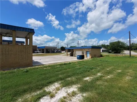
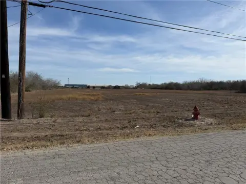
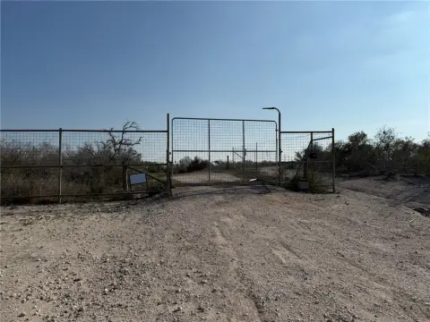
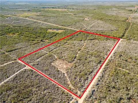
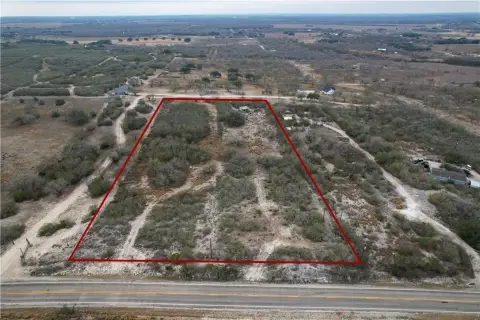
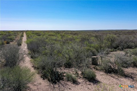
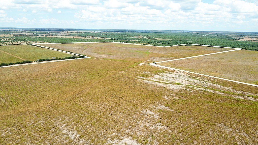
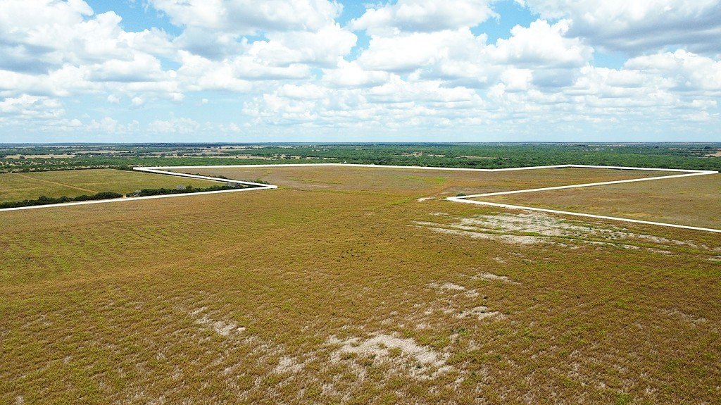
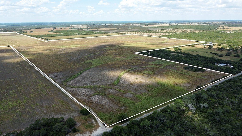
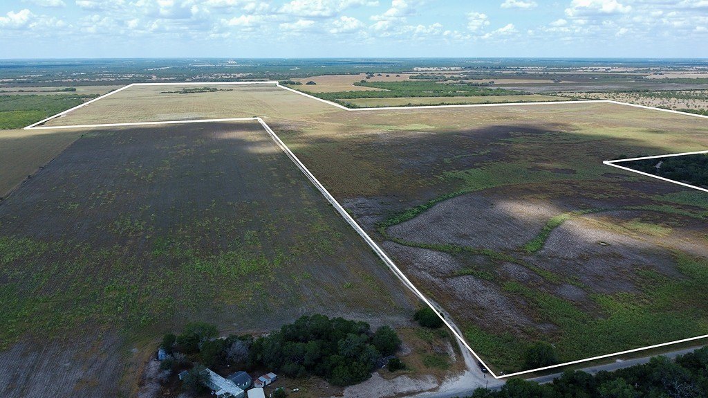
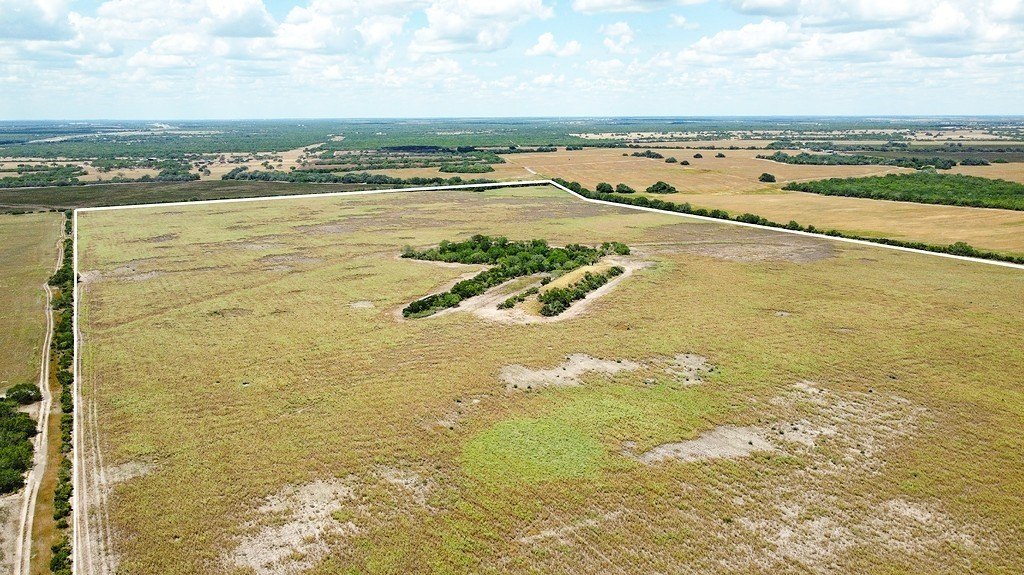
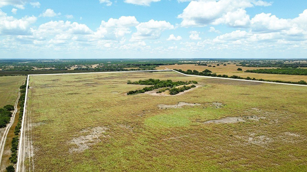
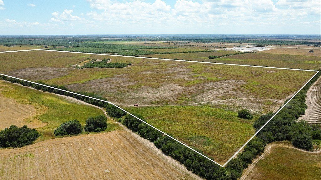
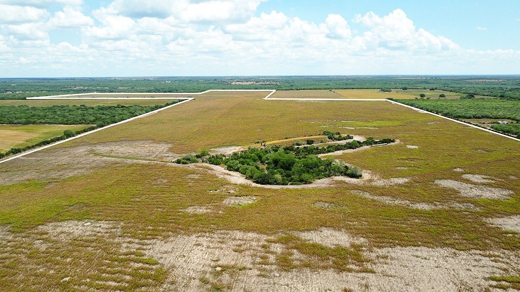
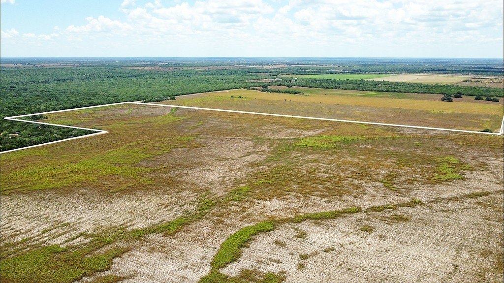
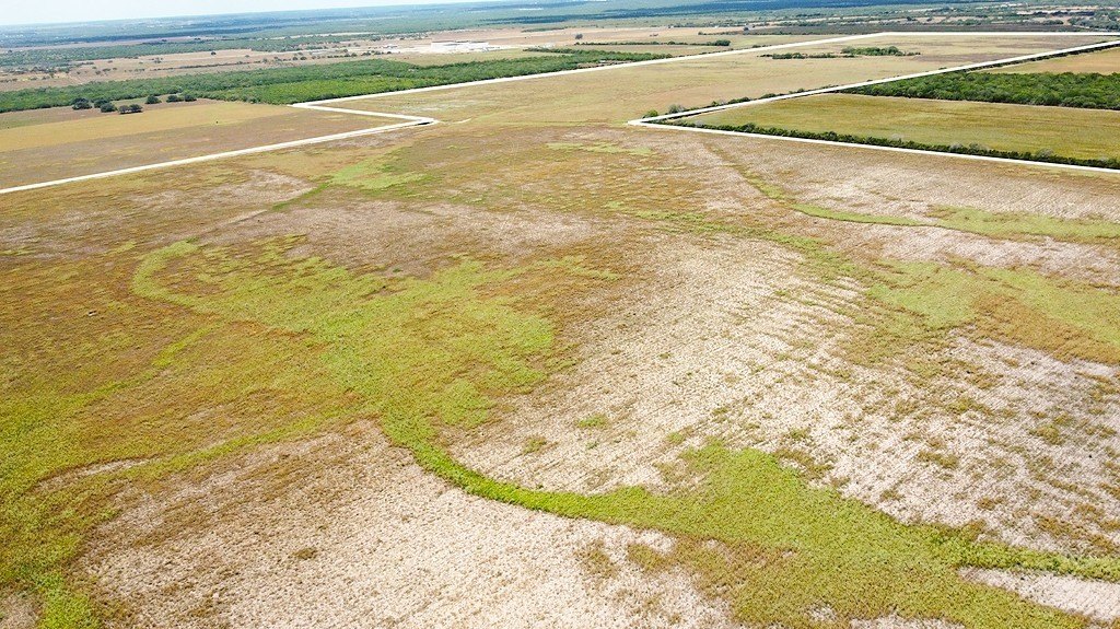
- 363.91‑acre tract in Live Oak County, 355 County Road 321, George West, TX 78022
- Over 1,100 ft of road frontage along County Road 321 with easy access near I‑37 (less than 2 miles east of I‑37, just south of Oakville)
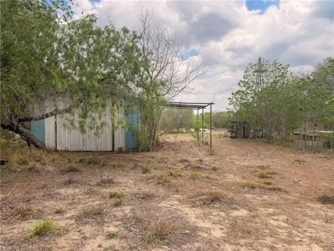
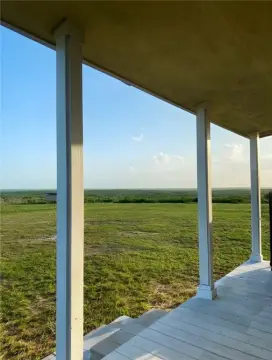
- Currently cultivated for haygrazer production (growing and bailing) for agricultural use
- Wildlife habitat includes deer, hogs, and doves; used for hunting and wildlife activities
- Utilities available: electrical service from San Patricia Electric Cooperative and Central Power and Light
- Older water well on site is currently non‑operational; potential for restoration; elevation change around +/-20 ft
Overview
Access is provided from County Road 321, with more than 1,100 feet of road frontage. The property is located less than 2 miles east of Interstate 37 and just south of Oakville, TX, offering convenient connectivity to a major highway corridor. The terrain includes approximately +/- 20 feet of elevation change, and the land drains toward the exterior sides.
This acreage can work for buyers seeking an agricultural base for hay production, a ranch-style setup that may require some fencing improvements, or a mixed-use property suited to dove and game hunting. Utilities access and existing cultivation provide a practical starting point for buyers looking to continue or adjust current land use.
Current Use by Public Records
Map
- City
- George West
- County
- Live Oak
- State
- Texas
- Longitude
- -98.048908
- Latitude
- 28.416196